Filters: Tags: DENVER (X)
136 results (125ms)|
Filters
Contacts
(Less)
|
Layered geospatial PDF Map. Layers of geospatial data include orthoimagery, roads, grids, geographic names, elevation contours, hydrography, and other selected map features.
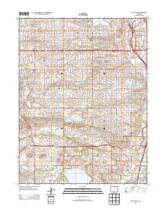
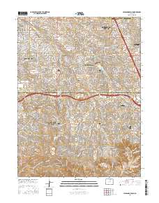
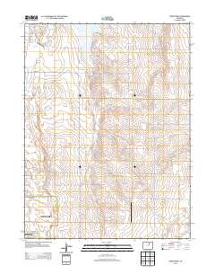
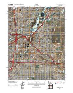
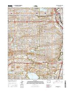
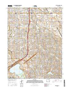
Layered GeoPDF 7.5 Minute Quadrangle Map. Layers of geospatial data include orthoimagery, roads, grids, geographic names, elevation contours, hydrography, and other selected map features.
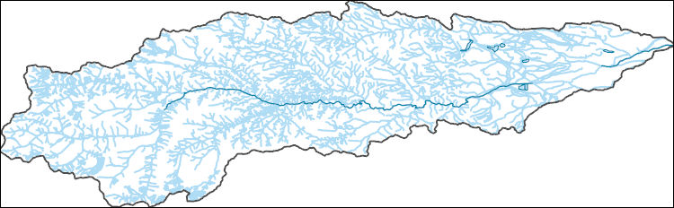
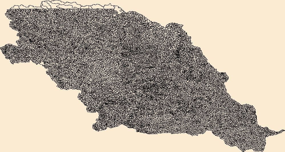
The National Hydrography Dataset (NHD) is a feature-based database that interconnects and uniquely identifies the stream segments or reaches that make up the nation's surface water drainage system. NHD data was originally developed at 1:100,000-scale and exists at that scale for the whole country. This high-resolution NHD, generally developed at 1:24,000/1:12,000 scale, adds detail to the original 1:100,000-scale NHD. (Data for Alaska, Puerto Rico and the Virgin Islands was developed at high-resolution, not 1:100,000 scale.) Local resolution NHD is being developed where partners and data exist. The NHD contains reach codes for networked features, flow direction, names, and centerline representations for areal water...
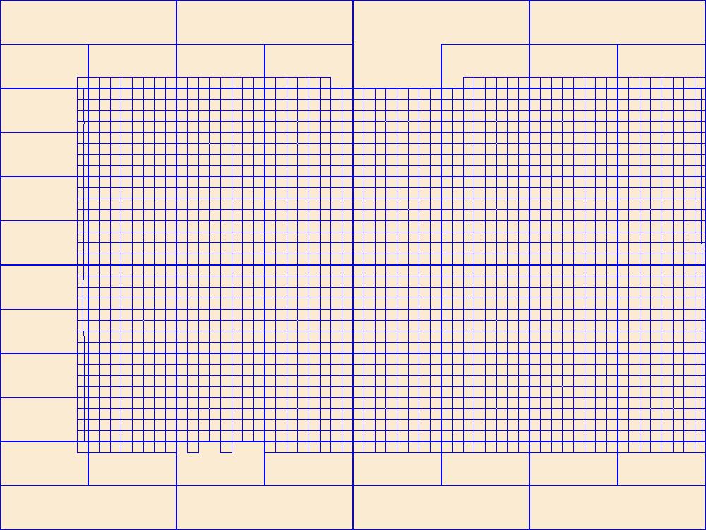
This data represents the map extent for current and historical USGS topographic maps for the United States and Territories, including 1 X 2 Degree, 1 X 1 Degree, 30 X 60 Minute, 15 X 15 Minute, 7.5 X 7.5 Minute, and 3.75 X 3.75 Minute. The grid was generated using ESRI ArcInfo GIS software.
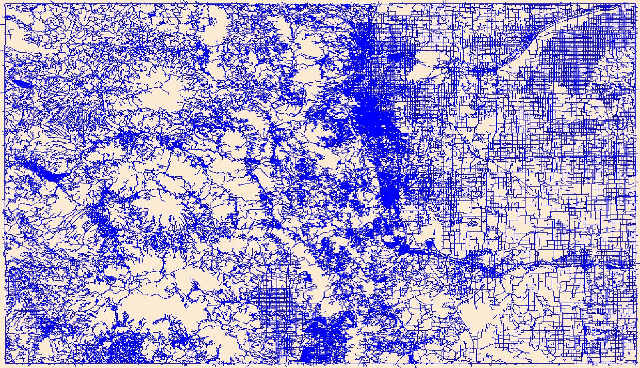
Layers of geospatial data include roads, airports, trails, and railroads.
The National Hydrography Dataset (NHD) is a feature-based database that interconnects and uniquely identifies the stream segments or reaches that make up the nation's surface water drainage system. NHD data was originally developed at 1:100,000-scale and exists at that scale for the whole country. This high-resolution NHD, generally developed at 1:24,000/1:12,000 scale, adds detail to the original 1:100,000-scale NHD. (Data for Alaska, Puerto Rico and the Virgin Islands was developed at high-resolution, not 1:100,000 scale.) Local resolution NHD is being developed where partners and data exist. The NHD contains reach codes for networked features, flow direction, names, and centerline representations for areal water...
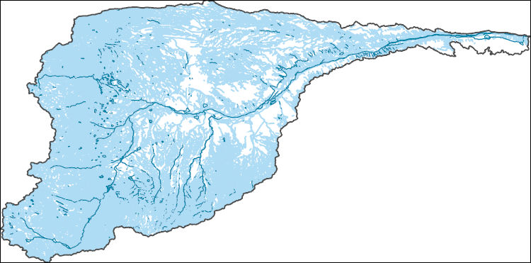
The Watershed Boundary Dataset (WBD) is a comprehensive aggregated collection of hydrologic unit data consistent with the national criteria for delineation and resolution. It defines the areal extent of surface water drainage to a point except in coastal or lake front areas where there could be multiple outlets as stated by the "Federal Standards and Procedures for the National Watershed Boundary Dataset (WBD)" "Standard" (https://pubs.usgs.gov/tm/11/a3/). Watershed boundaries are determined solely upon science-based hydrologic principles, not favoring any administrative boundaries or special projects, nor particular program or agency. This dataset represents the hydrologic unit boundaries to the 12-digit (6th level)...
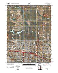
Layered GeoPDF 7.5 Minute Quadrangle Map. Layers of geospatial data include orthoimagery, roads, grids, geographic names, elevation contours, hydrography, and other selected map features.
Layered GeoPDF 7.5 Minute Quadrangle Map. Layers of geospatial data include orthoimagery, roads, grids, geographic names, elevation contours, hydrography, and other selected map features.

These data were released prior to the October 1, 2016 effective date for the USGS’s policy dictating the review, approval, and release of scientific data as referenced in USGS Survey Manual Chapter 502.8 Fundamental Science Practices: Review and Approval of Scientific Data for Release. This digital geospatial data set consists of structure contours of the top of the Laramie-Fox Hills aquifer along the Front Range of Colorado. The U.S. Geological Survey developed this data set as part of a project described in the report, "Structure, Outcrop, and Subcrop of the Bedrock Aquifers Along the Western Margin of the Denver Basin, Colorado" (Robson and others, 1998).
Categories: pre-SM502.8;
Tags: Denver,
Front Range, Colorado,
NSDI,
USGS Science Data Catalog (SDC),
aquifer,
These data were released prior to the October 1, 2016 effective date for the USGS’s policy dictating the review, approval, and release of scientific data as referenced in USGS Survey Manual Chapter 502.8 Fundamental Science Practices: Review and Approval of Scientific Data for Release. The U.S. Geological Survey developed this dataset as part of the Colorado Front Range Infrastructure Resources Project (FRIRP). One goal of the FRIRP was to provide information on the availability of those hydrogeologic resources that are either critical to maintaining infrastructure along the northern Front Range or that may become less available because of urban expansion in the northern Front Range. This dataset extends from the...
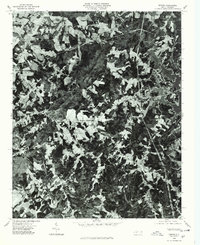
USGS Historical Quadrangle in GeoPDF.
USGS Historical Quadrangle in GeoPDF.
USGS Historical Quadrangle in GeoPDF.
Core Research Center, core W026, from well operated by USGS-NAWQA-SPLTRaw Properties from download, web scrape, MapServer, and Macrostrat API{"Lib Num": "W026", "API Num": null, "Operator": "USGS-NAWQA-SPLT", "Well Name": "AGLUS-REF1", "Field": null, "State": "CO", "County": "ADAMS", "Type": "FULL", "Photos": "F", "Thin Sec": "F", "Analysis": "T", "Latitude": "39.867111", "Longitude": "-104.461361", "coordinates_geohash": "9xjdyctdcb5s", "Source": "PROVIDED BY DONOR", "Security Flag": "NO SPECIAL RESTRICTIONS", "crc_collection_name": "core", "sb_parent_id": "4f4e49dae4b07f02db5e0486", "intervals": [{"Formation": "DENVER", "Age": "TERT", "Min Depth": "0", "Max Depth": "74"}], "crcwc_url": "https://my.usgs.gov/crcwc/core/report/14461",...
Core Research Center, core W002, from well operated by USGS-NAWQA-SPLTRaw Properties from download, web scrape, MapServer, and Macrostrat API{"Lib Num": "W002", "API Num": null, "Operator": "USGS-NAWQA-SPLT", "Well Name": "DSS-14", "Field": null, "State": "CO", "County": "ADAMS", "Type": "FULL", "Photos": "F", "Thin Sec": "F", "Analysis": "T", "Latitude": "39.810694", "Longitude": "-104.516917", "coordinates_geohash": "9xjdmxm4574p", "Source": "PROVIDED BY DONOR", "Security Flag": "NO SPECIAL RESTRICTIONS", "crc_collection_name": "core", "sb_parent_id": "4f4e49dae4b07f02db5e0486", "intervals": [{"Formation": "DENVER", "Age": "TERT", "Min Depth": "0", "Max Depth": "59"}], "crcwc_url": "https://my.usgs.gov/crcwc/core/report/14439",...
We developed and tested a new method for in situ characterization and distribution of inorganic particles in biopsied lung tissue from three diverse human subject groups using field emission scanning electron microscopy with an energy dispersive analyzer. A backscattered electron image of each frame was acquired to locate inorganic particulate matter. The electron beam was deflected to points on the particles in the field of view to acquire an energy dispersive spectrum. The acquired spectra were used to identify the particle type.
Layered GeoPDF 7.5 Minute Quadrangle Map. Layers of geospatial data include orthoimagery, roads, grids, geographic names, elevation contours, hydrography, and other selected map features.
Layered geospatial PDF Map. Layers of geospatial data include orthoimagery, roads, grids, geographic names, elevation contours, hydrography, and other selected map features.
Layered geospatial PDF Map. Layers of geospatial data include orthoimagery, roads, grids, geographic names, elevation contours, hydrography, and other selected map features.
|

|
