Filters: Tags: Dare (X)
148 results (11ms)|
Filters
Date Range
Extensions Types Contacts
Categories Tag Types
|
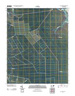
Layered GeoPDF 7.5 Minute Quadrangle Map. Layers of geospatial data include orthoimagery, roads, grids, geographic names, elevation contours, hydrography, and other selected map features.
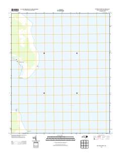
Layered GeoPDF 7.5 Minute Quadrangle Map. Layers of geospatial data include orthoimagery, roads, grids, geographic names, elevation contours, hydrography, and other selected map features.
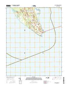
Layered geospatial PDF Map. Layers of geospatial data include orthoimagery, roads, grids, geographic names, elevation contours, hydrography, and other selected map features.
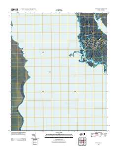
Layered GeoPDF 7.5 Minute Quadrangle Map. Layers of geospatial data include orthoimagery, roads, grids, geographic names, elevation contours, hydrography, and other selected map features.
Layered GeoPDF 7.5 Minute Quadrangle Map. Layers of geospatial data include orthoimagery, roads, grids, geographic names, elevation contours, hydrography, and other selected map features.
Layered GeoPDF 7.5 Minute Quadrangle Map. Layers of geospatial data include orthoimagery, roads, grids, geographic names, elevation contours, hydrography, and other selected map features.
Layered geospatial PDF Map. Layers of geospatial data include orthoimagery, roads, grids, geographic names, elevation contours, hydrography, and other selected map features.

The Watershed Boundary Dataset (WBD) is a comprehensive aggregated collection of hydrologic unit data consistent with the national criteria for delineation and resolution. It defines the areal extent of surface water drainage to a point except in coastal or lake front areas where there could be multiple outlets as stated by the "Federal Standards and Procedures for the National Watershed Boundary Dataset (WBD)" "Standard" (https://pubs.usgs.gov/tm/11/a3/). Watershed boundaries are determined solely upon science-based hydrologic principles, not favoring any administrative boundaries or special projects, nor particular program or agency. This dataset represents the hydrologic unit boundaries to the 12-digit (6th level)...
The data in this part of the release characterize the beach and nearshore environment at the USGS DUring Nearshore Event eXperiment (DUNEX) site on Pea Island National Wildlife Refuge (PINWR) and at the Basnight Bridge (BB), NC. In November 2020, April, September, and October 2021, USGS and Woods Hole Oceanographic Institute (WHOI) scientists conducted multiple field surveys to collect a topobathy elevation time series. Bathymetry for topobathy products was collected in the nearshore using a single-beam echosounder mounted on a surf capable self-righting electric autonomous survey vehicle. Topography is produced using GPS walking surveys or structure-from-motion (SfM) with the imagery and ground control point data...
The data in this part of the release provide the location information of the temporary ground control points placed on the beach at the USGS DUring Nearshore Event eXperiment (DUNEX) site on Pea Island National Wildlife Refuge, NC. DUNEX is a multi-agency, academic, and non-governmental organization collaborative community experiment designed to study nearshore coastal processes during storm events. USGS participation in DUNEX will contribute new measurements and models that will increase our understanding of storm impacts to coastal environments, including hazards to humans and infrastructure and changes in landscape and natural habitats. Collected data are part of field activity 2021-029-FA. During September and...
Categories: Data;
Tags: CMHRP,
Coastal and Marine Hazards and Resources Program,
Dare,
GPS measurement,
GPS navigation,
Layered GeoPDF 7.5 Minute Quadrangle Map. Layers of geospatial data include orthoimagery, roads, grids, geographic names, elevation contours, hydrography, and other selected map features.
Layered GeoPDF 7.5 Minute Quadrangle Map. Layers of geospatial data include orthoimagery, roads, grids, geographic names, elevation contours, hydrography, and other selected map features.
Layered geospatial PDF Map. Layers of geospatial data include orthoimagery, roads, grids, geographic names, elevation contours, hydrography, and other selected map features.
Layered GeoPDF 7.5 Minute Quadrangle Map. Layers of geospatial data include orthoimagery, roads, grids, geographic names, elevation contours, hydrography, and other selected map features.
Layered GeoPDF 7.5 Minute Quadrangle Map. Layers of geospatial data include orthoimagery, roads, grids, geographic names, elevation contours, hydrography, and other selected map features.
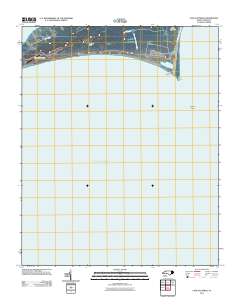
Layered GeoPDF 7.5 Minute Quadrangle Map. Layers of geospatial data include orthoimagery, roads, grids, geographic names, elevation contours, hydrography, and other selected map features.
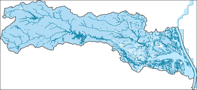
The National Hydrography Dataset (NHD) is a feature-based database that interconnects and uniquely identifies the stream segments or reaches that make up the nation's surface water drainage system. NHD data was originally developed at 1:100,000-scale and exists at that scale for the whole country. This high-resolution NHD, generally developed at 1:24,000/1:12,000 scale, adds detail to the original 1:100,000-scale NHD. (Data for Alaska, Puerto Rico and the Virgin Islands was developed at high-resolution, not 1:100,000 scale.) Local resolution NHD is being developed where partners and data exist. The NHD contains reach codes for networked features, flow direction, names, and centerline representations for areal water...
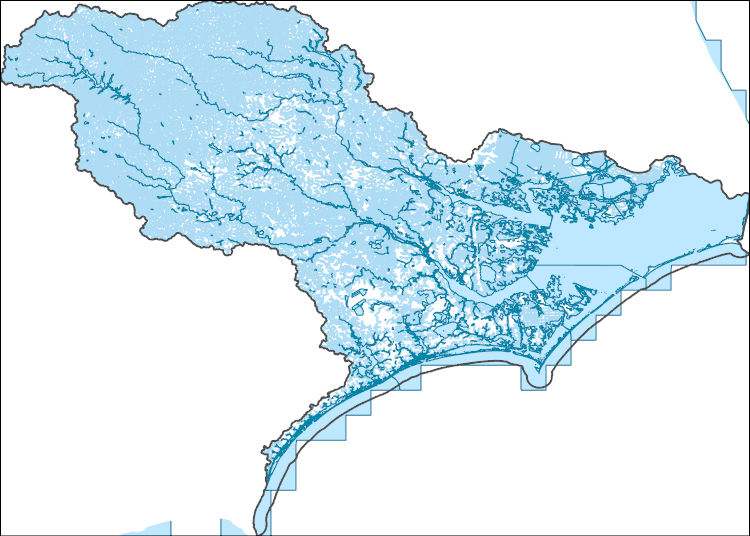
The National Hydrography Dataset (NHD) is a feature-based database that interconnects and uniquely identifies the stream segments or reaches that make up the nation's surface water drainage system. NHD data was originally developed at 1:100,000-scale and exists at that scale for the whole country. This high-resolution NHD, generally developed at 1:24,000/1:12,000 scale, adds detail to the original 1:100,000-scale NHD. (Data for Alaska, Puerto Rico and the Virgin Islands was developed at high-resolution, not 1:100,000 scale.) Local resolution NHD is being developed where partners and data exist. The NHD contains reach codes for networked features, flow direction, names, and centerline representations for areal water...
The data in this release characterize the beach and nearshore environment in Pea Island National Wildlife Refuge, NC at the USGS DUring Nearshore Event eXperiment (DUNEX) site and Basnight Bridge. Data include GPS surveys, reference points, and ground control points; imagery and structure-from-motion products; bathymetry data, and merged topographic and bathymetric grids. To cite a specific data product of the release use the following format example: Over, J.R., Sherwood, C.R., Traykovski, P.A., Olson, A.J., Randall, N.R., and Brosnahan, S.M., 2022, Topobathy Products in Pea Island National Wildlife Refuge, North Carolina in November 2020 and April, September, and October 2021 in DUNEX topographic, bathymetric,...
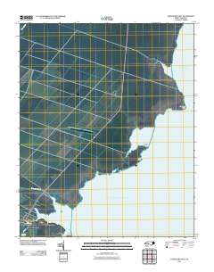
Layered GeoPDF 7.5 Minute Quadrangle Map. Layers of geospatial data include orthoimagery, roads, grids, geographic names, elevation contours, hydrography, and other selected map features.
|

|
