Filters: Tags: Dempsey (X)
5 results (47ms)|
Filters
Date Range
Contacts Categories Tag Types Tag Schemes |
ADMMR map collection: Aravaipa Mining District Claim Map; 1 in. to 1500 feet; 8 x 11 in.
Categories: Data;
Tags: Aravaipa area physiographic area,
Aravaipa metallic mineral dist.,
Arizona,
Ben Hur,
Botts Group,
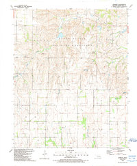
USGS Historical Quadrangle in GeoPDF.
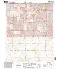
USGS Historical Quadrangle in GeoPDF.
This location is part of the Arizona Mineral Industry Location System (AzMILS), an inventory of mineral occurences, prospects and mine locations in Arizona. Graham151A is located in T5S R19E Sec 36 SE in the Cobre Grande Mtn - 7.5 Min quad. This collection consists of various reports, maps, records and related materials acquired by the Arizona Department of Mines and Mineral Resources regarding mining properties in Arizona. Information was obtained by various means, including the property owners, exploration companies, consultants, verbal interviews, field visits, newspapers and publications. Some sections may be redacted for copyright. Please see the access statement.
This location is part of the Arizona Mineral Industry Location System (AzMILS), an inventory of mineral occurences, prospects and mine locations in Arizona. Graham165B is located in T6S R20E Sec 17 S2 in the Cobre Grande Mtn - 7.5 Min quad. This collection consists of various reports, maps, records and related materials acquired by the Arizona Department of Mines and Mineral Resources regarding mining properties in Arizona. Information was obtained by various means, including the property owners, exploration companies, consultants, verbal interviews, field visits, newspapers and publications. Some sections may be redacted for copyright. Please see the access statement.
|

|
