Filters: Tags: Des Moines (X)
98 results (181ms)|
Filters
Date Range
Types Contacts
Categories Tag Types Tag Schemes |
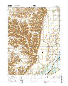
USGS Historical Quadrangle in GeoPDF.

USGS Historical Quadrangle in GeoPDF.

USGS Historical Quadrangle in GeoPDF.
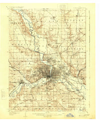
USGS Historical Quadrangle in GeoPDF.
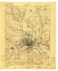
USGS Historical Quadrangle in GeoPDF.

The National Hydrography Dataset (NHD) is a feature-based database that interconnects and uniquely identifies the stream segments or reaches that make up the nation's surface water drainage system. NHD data was originally developed at 1:100,000-scale and exists at that scale for the whole country. This high-resolution NHD, generally developed at 1:24,000/1:12,000 scale, adds detail to the original 1:100,000-scale NHD. (Data for Alaska, Puerto Rico and the Virgin Islands was developed at high-resolution, not 1:100,000 scale.) Local resolution NHD is being developed where partners and data exist. The NHD contains reach codes for networked features, flow direction, names, and centerline representations for areal water...
The National Hydrography Dataset (NHD) is a feature-based database that interconnects and uniquely identifies the stream segments or reaches that make up the nation's surface water drainage system. NHD data was originally developed at 1:100,000-scale and exists at that scale for the whole country. This high-resolution NHD, generally developed at 1:24,000/1:12,000 scale, adds detail to the original 1:100,000-scale NHD. (Data for Alaska, Puerto Rico and the Virgin Islands was developed at high-resolution, not 1:100,000 scale.) Local resolution NHD is being developed where partners and data exist. The NHD contains reach codes for networked features, flow direction, names, and centerline representations for areal water...
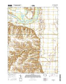
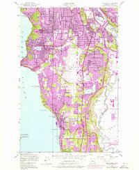
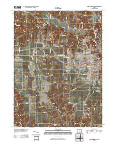
Layered GeoPDF 7.5 Minute Quadrangle Map. Layers of geospatial data include orthoimagery, roads, grids, geographic names, elevation contours, hydrography, and other selected map features.
Layered GeoPDF 7.5 Minute Quadrangle Map. Layers of geospatial data include orthoimagery, roads, grids, geographic names, elevation contours, hydrography, and other selected map features.
In summer 2018, a total of 43 passive seismic surveys were conducted in the Des Moines River floodplain. The horizontal-to-vertical spectral ratio (HVSR) method is a passive seismic technique that uses a three-component seismometer to measure the vertical and horizontal components of ambient seismic noise. A resonance frequency (f0) is induced in the unconsolidated deposits when there is a substantial contrast (greater than 2:1) in shear-wave acoustic impedance between the overburden and the bedrock. The f0 is determined from the analysis of the spectral ratio of the horizontal and vertical components of the seismic data. The thickness of the overburden can be related to the f0. In general, lower f0 relates to thicker...
Categories: Data;
Tags: Aquifer Characterization,
Des Moines,
Geophysics,
Horizontal-to-Vertical Spectral Ratio,
Hydrogeology,
A suite of geophysical methods was used along the Des Moines River, Beaver Creek, and in the Des Moines River floodplain in Des Moines, Iowa to support the hydrogeologic characterization of the alluvial aquifer associated with the river. The aquifer consists of sands and gravels underlain by weathered shale bedrock. Groundwater from the aquifer along with surface water sources are used for municipal drinking water for the City of Des Moines and surrounding communities. The raw data provided in this data release are minimally processed to filter out erroneous measurements. Data provided in this data release includes continuous resistivity profiling (CRP) and continuous seismic profiling (CSP) that were collected...
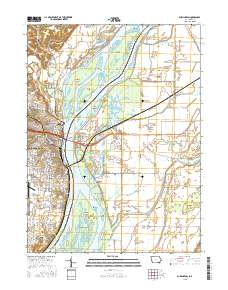
Layered GeoPDF 7.5 Minute Quadrangle Map. Layers of geospatial data include orthoimagery, roads, grids, geographic names, elevation contours, hydrography, and other selected map features.
Layered GeoPDF 7.5 Minute Quadrangle Map. Layers of geospatial data include orthoimagery, roads, grids, geographic names, elevation contours, hydrography, and other selected map features.
Layered GeoPDF 7.5 Minute Quadrangle Map. Layers of geospatial data include orthoimagery, roads, grids, geographic names, elevation contours, hydrography, and other selected map features.

The U.S. Geological Survey constructed a steady-state numerical groundwater flow model in cooperation with Des Moines Water Works (DMWW) to simulate groundwater flow conditions in the Des Moines River alluvial aquifer (DMRA) during winter low-flow conditions typical of December 2018-2020. The Des Moines River alluvial aquifer (DMRA) is an important source of water for Des Moines Water Works (DMWW), the municipal water utility that serves residential and commercial water needs in the city of Des Moines, Iowa and surrounding municipalities. A comprehensive understanding of groundwater flow processes in the DMRA is needed for DMWW to make decisions related to the management of this water resource. A three-layered model...
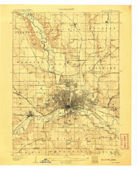
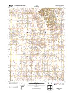
USGS Historical Quadrangle in GeoPDF.
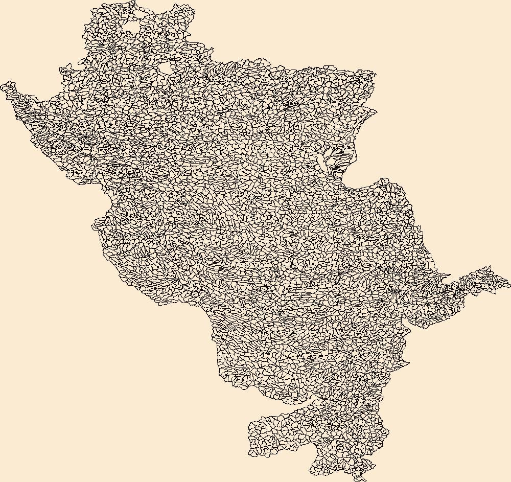
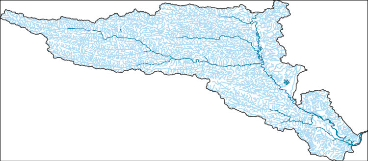
The Watershed Boundary Dataset (WBD) is a comprehensive aggregated collection of hydrologic unit data consistent with the national criteria for delineation and resolution. It defines the areal extent of surface water drainage to a point except in coastal or lake front areas where there could be multiple outlets as stated by the "Federal Standards and Procedures for the National Watershed Boundary Dataset (WBD)" "Standard" (https://pubs.usgs.gov/tm/11/a3/). Watershed boundaries are determined solely upon science-based hydrologic principles, not favoring any administrative boundaries or special projects, nor particular program or agency. This dataset represents the hydrologic unit boundaries to the 12-digit (6th level)...

The National Hydrography Dataset (NHD) is a feature-based database that interconnects and uniquely identifies the stream segments or reaches that make up the nation's surface water drainage system. NHD data was originally developed at 1:100,000-scale and exists at that scale for the whole country. This high-resolution NHD, generally developed at 1:24,000/1:12,000 scale, adds detail to the original 1:100,000-scale NHD. (Data for Alaska, Puerto Rico and the Virgin Islands was developed at high-resolution, not 1:100,000 scale.) Local resolution NHD is being developed where partners and data exist. The NHD contains reach codes for networked features, flow direction, names, and centerline representations for areal water...
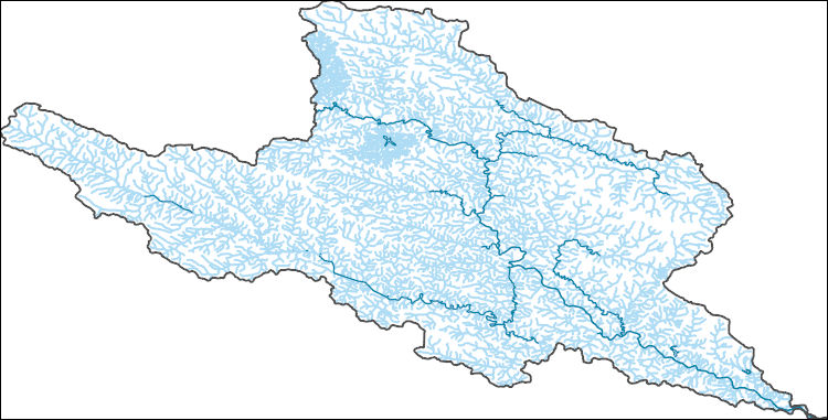
The National Hydrography Dataset (NHD) is a feature-based database that interconnects and uniquely identifies the stream segments or reaches that make up the nation's surface water drainage system. NHD data was originally developed at 1:100,000-scale and exists at that scale for the whole country. This high-resolution NHD, generally developed at 1:24,000/1:12,000 scale, adds detail to the original 1:100,000-scale NHD. (Data for Alaska, Puerto Rico and the Virgin Islands was developed at high-resolution, not 1:100,000 scale.) Local resolution NHD is being developed where partners and data exist. The NHD contains reach codes for networked features, flow direction, names, and centerline representations for areal water...
Geospatial data includes structures and other selected map features.
|

|
