Filters: Tags: Eagle (X)
286 results (228ms)|
Filters
Date Range
Extensions Types Contacts
Categories Tag Types Tag Schemes |
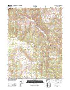
Layered GeoPDF 7.5 Minute Quadrangle Map. Layers of geospatial data include orthoimagery, roads, grids, geographic names, elevation contours, hydrography, and other selected map features.
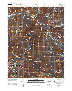
Layered GeoPDF 7.5 Minute Quadrangle Map. Layers of geospatial data include orthoimagery, roads, grids, geographic names, elevation contours, hydrography, and other selected map features.
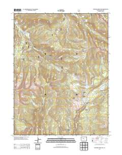
Layered GeoPDF 7.5 Minute Quadrangle Map. Layers of geospatial data include orthoimagery, roads, grids, geographic names, elevation contours, hydrography, and other selected map features.
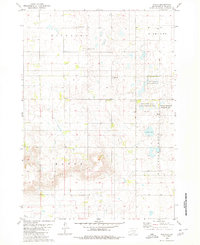
USGS Historical Quadrangle in GeoPDF.
Core Research Center, core A587, from well operated by DEVON ENERGY PRODRaw Properties from download, web scrape, MapServer, and Macrostrat API{"Lib Num": "A587", "API Num": "2500521405", "Operator": "DEVON ENERGY PROD", "Well Name": "12-1 BLACKWOOD", "Field": "TIGER RIDGE", "State": "MT", "County": "BLAINE", "Type": "SLABBED", "Photos": "T", "Thin Sec": "T", "Analysis": "F", "Latitude": "48.377455", "Longitude": "-109.458376", "coordinates_geohash": "c8d5jnyg4gpp", "Source": "FROM STATE RECORDS", "Security Flag": "NO SPECIAL RESTRICTIONS", "crc_collection_name": "core", "sb_parent_id": "4f4e49dae4b07f02db5e0486", "intervals": [{"Formation": "EAGLE", "Age": "CRET", "Min Depth": "1257", "Max Depth": "1313"}], "crcwc_url":...
Core Research Center, cutting HH01751, from well operated by SPYGLASS CEDAR CREEKRaw Properties from download, web scrape, MapServer, and Macrostrat API{"Lib Num": "HH01751", "API Num": "4006320620", "Operator": "SPYGLASS CEDAR CREEK", "Well Name": "16-24 HETT", "Field": "JUMPOFF", "State": "SD", "County": "HARDING", "Thin Sec": "F", "Analysis": "F", "Latitude": "45.50449", "Longitude": "-103.69059", "coordinates_geohash": "c8n6b7yff5u0", "Source": "PROVIDED BY DONOR", "Min": "450", "Max": "3835", "Security Flag": null, "crc_collection_name": "cutting", "sb_parent_id": "4f4e49d8e4b07f02db5df2d2", "intervals": [{"Formation": "SKULL CREEK", "Age": "CRETACEOUS", "Min Depth": "3756", "Max Depth": "3835"}, {"Formation":...
Core Research Center, cutting HH01752, from well operated by SPYGLASS CEDAR CREEKRaw Properties from download, web scrape, MapServer, and Macrostrat API{"Lib Num": "HH01752", "API Num": "4006320660", "Operator": "SPYGLASS CEDAR CREEK", "Well Name": "16-22 STATE", "Field": "JUMPOFF", "State": "SD", "County": "HARDING", "Thin Sec": "F", "Analysis": "F", "Latitude": "45.5042", "Longitude": "-103.61095", "coordinates_geohash": "c8n6f7bc1vsn", "Source": "PROVIDED BY DONOR", "Min": "444", "Max": "1905", "Security Flag": null, "crc_collection_name": "cutting", "sb_parent_id": "4f4e49d8e4b07f02db5df2d2", "intervals": [{"Formation": "SHANNON", "Age": "CRETACEOUS", "Min Depth": "1609", "Max Depth": "1905"}, {"Formation":...
Core Research Center, cutting HH01749, from well operated by SPYGLASS CEDAR CREEKRaw Properties from download, web scrape, MapServer, and Macrostrat API{"Lib Num": "HH01749", "API Num": "4006320651", "Operator": "SPYGLASS CEDAR CREEK", "Well Name": "10-5 PETERSON", "Field": "JUMPOFF", "State": "SD", "County": "HARDING", "Thin Sec": "F", "Analysis": "T", "Latitude": "45.46318", "Longitude": "-103.65449", "coordinates_geohash": "c8n69k345r42", "Source": "PROVIDED BY DONOR", "Min": "460", "Max": "2023", "Security Flag": null, "crc_collection_name": "cutting", "sb_parent_id": "4f4e49d8e4b07f02db5df2d2", "intervals": [{"Formation": "SHANNON", "Age": "CRETACEOUS", "Min Depth": "1638", "Max Depth": "2023"}, {"Formation":...
Categories: Physical Item;
Tags: CRETACEOUS,
CRETACEOUS,
EAGLE,
Hell Creek Formation,
Hell Creek Formation,
Core Research Center, core B900, from well operated by HIGH CREST OILSRaw Properties from download, web scrape, MapServer, and Macrostrat API{"Lib Num": "B900", "API Num": "2500505310", "Operator": "HIGH CREST OILS", "Well Name": "1 MORRISON", "Field": "TIGER RIDGE", "State": "MT", "County": "BLAINE", "Type": "SLABBED", "Photos": "T", "Thin Sec": "T", "Analysis": "F", "Latitude": "48.472592", "Longitude": "-109.440478", "coordinates_geohash": "c8d5v85vk40f", "Source": "FROM STATE RECORDS", "Security Flag": "NO SPECIAL RESTRICTIONS", "crc_collection_name": "core", "sb_parent_id": "4f4e49dae4b07f02db5e0486", "intervals": [{"Formation": "EAGLE", "Age": "CRET", "Min Depth": "1290", "Max Depth": "1318"}], "crcwc_url":...
Core Research Center, core R853, from well operated by U S SIGNALRaw Properties from download, web scrape, MapServer, and Macrostrat API{"Lib Num": "R853", "API Num": "2500521345", "Operator": "U S SIGNAL", "Well Name": "15-G-1 FEDERAL", "Field": "WILDCAT", "State": "MT", "County": "BLAINE", "Type": null, "Photos": "F", "Thin Sec": "F", "Analysis": "F", "Latitude": "47.852458", "Longitude": "-109.010153", "coordinates_geohash": "c8d2prm0z2dw", "Source": "FROM STATE RECORDS", "Security Flag": "NO SPECIAL RESTRICTIONS", "crc_collection_name": "core", "sb_parent_id": "4f4e49dae4b07f02db5e0486", "intervals": [{"Formation": "EAGLE", "Age": "CRET", "Min Depth": "893", "Max Depth": "923"}], "crcwc_url": "https://my.usgs.gov/crcwc/core/report/12989",...
Categories: Physical Item;
Tags: CRET,
Campanian,
EAGLE,
Judith River Formation,
Judith River Formation,
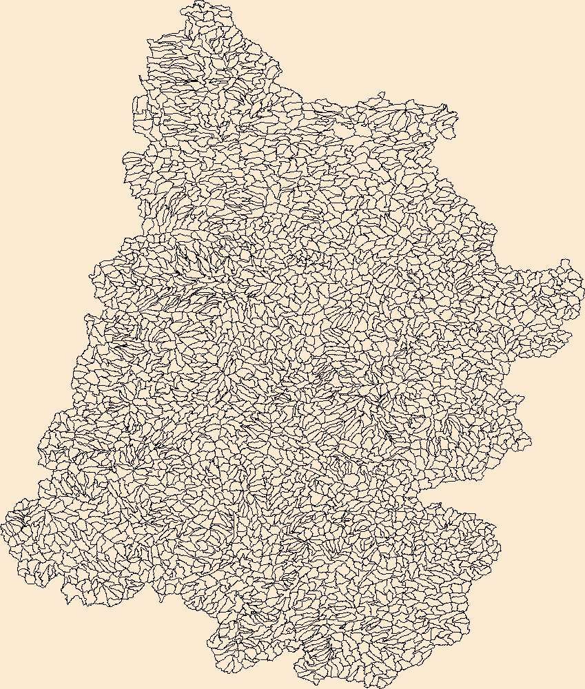
The Watershed Boundary Dataset (WBD) is a comprehensive aggregated collection of hydrologic unit data consistent with the national criteria for delineation and resolution. It defines the areal extent of surface water drainage to a point except in coastal or lake front areas where there could be multiple outlets as stated by the "Federal Standards and Procedures for the National Watershed Boundary Dataset (WBD)" "Standard" (https://pubs.usgs.gov/tm/11/a3/). Watershed boundaries are determined solely upon science-based hydrologic principles, not favoring any administrative boundaries or special projects, nor particular program or agency. This dataset represents the hydrologic unit boundaries to the 12-digit (6th level)...
This location is part of the Arizona Mineral Industry Location System (AzMILS), an inventory of mineral occurences, prospects and mine locations in Arizona. Mohave109A is located in T23N R17W Sec 28 W2 in the Stockton Hill - 7.5 Min quad. This collection consists of various reports, maps, records and related materials acquired by the Arizona Department of Mines and Mineral Resources regarding mining properties in Arizona. Information was obtained by various means, including the property owners, exploration companies, consultants, verbal interviews, field visits, newspapers and publications. Some sections may be redacted for copyright. Please see the access statement.
North American sagebrush-steppe ecosystems have decreased by about 50 percent since European settlement. As a result, sagebrush-steppe dependent species, such as the Gunnison sage-grouse, have experienced drastic range contractions and population declines. Coordinated ecosystem-wide research, integrated with monitoring and management activities, is needed to help maintain existing sagebrush habitats; however, products that accurately model and map sagebrush habitats in detail over the Gunnison Basin in Colorado are still unavailable. This research employs a combination of methods, including (1) modeling sagebrush rangeland as a series of independent objective components that can be combined and customized by any...
Categories: Data;
Types: Downloadable,
GeoTIFF,
Map Service,
Raster;
Tags: 002,
007,
010,
CO,
Chaffee,
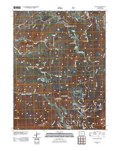
Layered GeoPDF 7.5 Minute Quadrangle Map. Layers of geospatial data include orthoimagery, roads, grids, geographic names, elevation contours, hydrography, and other selected map features.
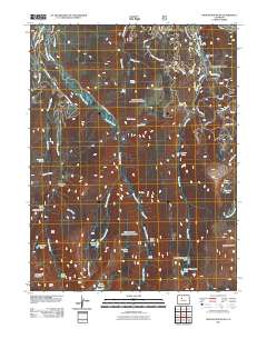
Layered GeoPDF 7.5 Minute Quadrangle Map. Layers of geospatial data include orthoimagery, roads, grids, geographic names, elevation contours, hydrography, and other selected map features.
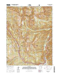
Layered geospatial PDF Map. Layers of geospatial data include orthoimagery, roads, grids, geographic names, elevation contours, hydrography, and other selected map features.
Layered GeoPDF 7.5 Minute Quadrangle Map. Layers of geospatial data include orthoimagery, roads, grids, geographic names, elevation contours, hydrography, and other selected map features.
Layered GeoPDF 7.5 Minute Quadrangle Map. Layers of geospatial data include orthoimagery, roads, grids, geographic names, elevation contours, hydrography, and other selected map features.
Layered GeoPDF 7.5 Minute Quadrangle Map. Layers of geospatial data include orthoimagery, roads, grids, geographic names, elevation contours, hydrography, and other selected map features.
Layered geospatial PDF Map. Layers of geospatial data include orthoimagery, roads, grids, geographic names, elevation contours, hydrography, and other selected map features.
|