Filters: Tags: Eagle Lake (X)
25 results (349ms)|
Filters
Date Range
Extensions Types
Contacts
Categories Tag Types Tag Schemes |

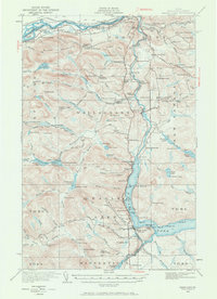
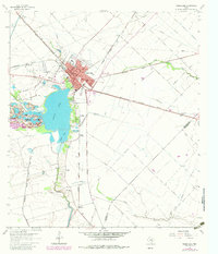
USGS Historical Quadrangle in GeoPDF.
USGS Historical Quadrangle in GeoPDF.

USGS Historical Quadrangle in GeoPDF.
USGS Historical Quadrangle in GeoPDF.
USGS Historical Quadrangle in GeoPDF.
Airborne magnetic data are provided here as part of the data release, "Airborne magnetic and radiometric survey, Munsungun Region, northern Maine, 2021." This website includes the processed aeromagnetic data provided in an ascii .csv file and a geoTIFF image showing the anomalous magnetic field. The contractor report is available on the parent page. Data for this survey were collected and processed by Sander Geophysics under contract with the USGS as part of the Earth Mapping Resources Initiative (Earth MRI) using a fixed wing aircraft with a magnetometer mounted in a tail stinger and a fully calibrated gamma ray spectrometer, data were collected along northwest-southeast flight lines spaced 250 meters (m) apart...
Categories: Data;
Types: Downloadable,
GeoTIFF,
Map Service,
Raster;
Tags: Allagash Lake,
Aroostook County,
Aroostook River,
Bever Brook,
Big Machias Lake,

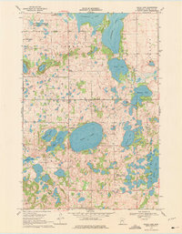
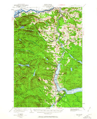
USGS Historical Quadrangle in GeoPDF.
USGS Historical Quadrangle in GeoPDF.
USGS Historical Quadrangle in GeoPDF.
Towed transient electromagnetic (tTEM) data were acquired along levees at select area near Vicksburg, Mississippi during March 2018. During the survey, 13.7 line-kilometers were collected in the focus area. Data were collected by members of the U.S. Geological Survey, Technology Development and Transfer Team, and the Aarhus University Hydrogeophysics Group. tTEM data acquired along the approximately 14 line-kilometers atop and along the toe of a levee near the banks of the Mississippi River in Warren County, Mississippi. Data were collected to characterize the subsurface resistivity structure of levees in support of a technical demonstration for the U.S. Army Corps of Engineers. tTEM data were collected using an...
This data release includes whole rock (WR) geochemical data, and uranium-lead isotopic data collected using a sensitive high resolution ion microprobe-reverse geometry (SHRIMP-RG) instrument; the SHRIMP-RG is a type of secondary ion mass spectrometer (SIMS). Whole rock geochemistry data were analyzed at Bureau Veritas Commodities Canada Ltd. Laboratories in Vancouver, British Columbia, Canada. SHRIMP-RG data were collected at the USGS-Stanford University SHRIMP-RG in Palo Alto, California, USA. Rock samples for all methods were collected by Phillip Geer, Sean Regan, and Greg Walsh. SHRIMP-RG sample preparation and analyses were conducted by Ryan McAleer. The whole rock geochemistry and uranium-lead (U-Pb) isotopic...
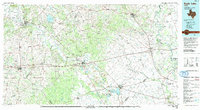
USGS Historical Quadrangle in GeoPDF.
Airborne radiometric data are provided here as part of the data release "Airborne magnetic and radiometric survey, Munsungun Region, northern Maine, 2021." This website includes the processed aeroradiometric digital flight line data (gamma spectrometry for K, U and Th) provided in an ascii .csv file and geoTIFF images showing a ternary image of relative K, U and Th and individual K, U, and Th values. Radiometric spectra are provided in ascii and binary formats within the contractor package on the parent page. The contractor report is also available on the parent page. Data for this survey were collected and processed by Sander Geophysics under contract with the USGS as part of the Earth Mapping Resources Initiative...
Categories: Data;
Types: Downloadable,
GeoTIFF,
Map Service,
Raster;
Tags: Allagash Lake,
Aroostook County,
Aroostook River,
Bever Brook,
Big Machias Lake,

USGS Historical Quadrangle in GeoPDF.
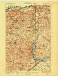
USGS Historical Quadrangle in GeoPDF.
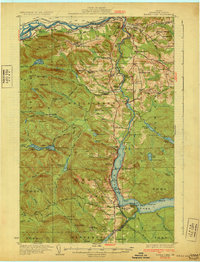
USGS Historical Quadrangle in GeoPDF.
USGS Historical Quadrangle in GeoPDF.
USGS Historical Quadrangle in GeoPDF.
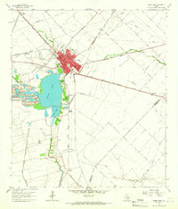
USGS Historical Quadrangle in GeoPDF.
USGS Historical Quadrangle in GeoPDF.
|

|
