Filters
Date Types (for Date Range)
Extensions
Types
Contacts
Categories
Tag Types
Tag Schemes
|
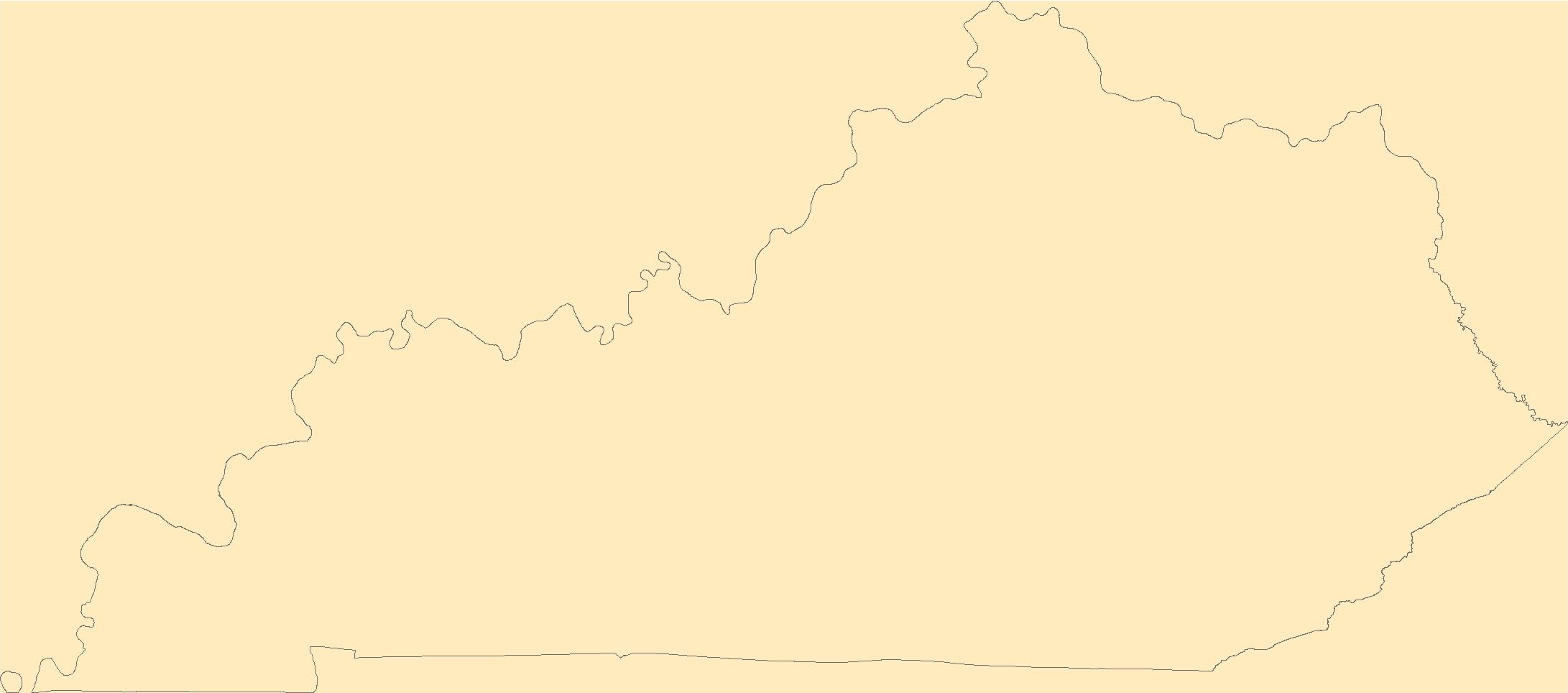
The Geographic Names Information System (GNIS) is the Federal standard for geographic nomenclature. The U.S. Geological Survey developed the GNIS for the U.S. Board on Geographic Names, a Federal inter-agency body chartered by public law to maintain uniform feature name usage throughout the Government and to promulgate standard names to the public. The GNIS is the official repository of domestic geographic names data; the official vehicle for geographic names use by all departments of the Federal Government; and the source for applying geographic names to Federal electronic and printed products of all types.
Tags: Adair,
Allen,
Anderson,
Antarctica,
Antarctica, All tags...
BGN,
Ballard,
Barren,
Bath,
Bell,
Board on Geographic Names,
Boone,
Borough,
Bourbon,
Boyd,
Boyle,
Bracken,
Breathitt,
Breckinridge,
Bullitt,
Butler,
Caldwell,
Calloway,
Campbell,
Carlisle,
Carroll,
Carter,
Casey,
Census Area,
Christian,
Clark,
Clay,
Clinton,
Commonwealth,
County,
Crittenden,
Cumberland,
Daviess,
District,
Downloadable Data,
Edmonson,
Elliott,
Estill,
Fayette,
Feature class,
Feature coordinates,
Feature county,
Feature description,
Feature designation,
Feature history,
Feature indentification,
Feature name,
Feature state,
Fleming,
Floyd,
Franklin,
Fulton,
GNIS,
Gallatin,
Garrard,
Geographic Names,
Geographic Names Domestic Names,
Geographic Names Information System,
Geographic feature,
Geographic name,
Geographical feature,
Geographical name,
Grant,
Graves,
Grayson,
Green,
Greenup,
Hancock,
Hardin,
Harlan,
Harrison,
Hart,
Henderson,
Henry,
Hickman,
Hopkins,
Jackson,
Jefferson,
Jessamine,
Johnson,
KY,
Kenton,
Kentucky,
Knott,
Knox,
Larue,
Laurel,
Lawrence,
Lee,
Leslie,
Letcher,
Lewis,
Lincoln,
Livingston,
Logan,
Lyon,
Madison,
Magoffin,
Marion,
Marshall,
Martin,
Mason,
McCracken,
McCreary,
McLean,
Meade,
Menifee,
Mercer,
Metcalfe,
Monroe,
Montgomery,
Morgan,
Muhlenberg,
Municipio,
National Geographic Names Information System (GNIS),
National Geographic Names Information System (GNIS),
Nelson,
Nicholas,
Official feature name,
Ohio,
Oldham,
Outlying Area,
Owen,
Owsley,
Parish,
Pendleton,
Perry,
Pike,
Place name,
Populated Place,
Powell,
Pulaski,
Robertson,
Rockcastle,
Rowan,
Russell,
Scott,
Shelby,
Simpson,
Spencer,
State,
TXT (pipes),
Taylor,
Territories,
Territory,
Todd,
Topographic Map,
Trigg,
Trimble,
U.S. Board on Geographic Names,
U.S. Geological Survey,
US,
USA,
USBGN,
USGS,
UTF-8 Pipe Delimited Text File nan,
Union,
United States,
United States,
United States,
Variant name,
Warren,
Washington,
Wayne,
Webster,
Whitley,
Wolfe,
Woodford,
antarctic,
database,
economy,
environment,
feature,
gazetteer,
geographic,
geographic names,
geographical,
geography,
geospatial,
imageryBaseMapsEarthCover,
inlandWaters,
location,
map,
name,
place,
placename,
society,
structure,
topographic map,
toponymy, Fewer tags

The Geographic Names Information System (GNIS) is the Federal standard for geographic nomenclature. The U.S. Geological Survey developed the GNIS for the U.S. Board on Geographic Names, a Federal inter-agency body chartered by public law to maintain uniform feature name usage throughout the Government and to promulgate standard names to the public. The GNIS is the official repository of domestic geographic names data; the official vehicle for geographic names use by all departments of the Federal Government; and the source for applying geographic names to Federal electronic and printed products of all types.
Tags: Adams,
Antarctica,
Antarctica,
BGN,
Barnes, All tags...
Benson,
Billings,
Board on Geographic Names,
Borough,
Bottineau,
Bowman,
Burke,
Burleigh,
Cass,
Cavalier,
Census Area,
Commonwealth,
County,
Dickey,
District,
Divide,
Downloadable Data,
Dunn,
Eddy,
Emmons,
Feature class,
Feature coordinates,
Feature county,
Feature description,
Feature designation,
Feature history,
Feature indentification,
Feature name,
Feature state,
Foster,
GNIS,
Geographic Names,
Geographic Names Domestic Names,
Geographic Names Information System,
Geographic feature,
Geographic name,
Geographical feature,
Geographical name,
Golden Valley,
Grand Forks,
Grant,
Griggs,
Hettinger,
Kidder,
LaMoure,
Logan,
McHenry,
McIntosh,
McKenzie,
McLean,
Mercer,
Morton,
Mountrail,
Municipio,
ND,
National Geographic Names Information System (GNIS),
National Geographic Names Information System (GNIS),
Nelson,
North Dakota,
Official feature name,
Oliver,
Outlying Area,
Parish,
Pembina,
Pierce,
Place name,
Populated Place,
Ramsey,
Ransom,
Renville,
Richland,
Rolette,
Sargent,
Sheridan,
Sioux,
Slope,
Stark,
State,
Steele,
Stutsman,
TXT (pipes),
Territories,
Territory,
Topographic Map,
Towner,
Traill,
U.S. Board on Geographic Names,
U.S. Geological Survey,
US,
USA,
USBGN,
USGS,
UTF-8 Pipe Delimited Text File nan,
United States,
United States,
United States,
Variant name,
Walsh,
Ward,
Wells,
Williams,
antarctic,
database,
economy,
environment,
feature,
gazetteer,
geographic,
geographic names,
geographical,
geography,
geospatial,
imageryBaseMapsEarthCover,
inlandWaters,
location,
map,
name,
place,
placename,
society,
structure,
topographic map,
toponymy, Fewer tags
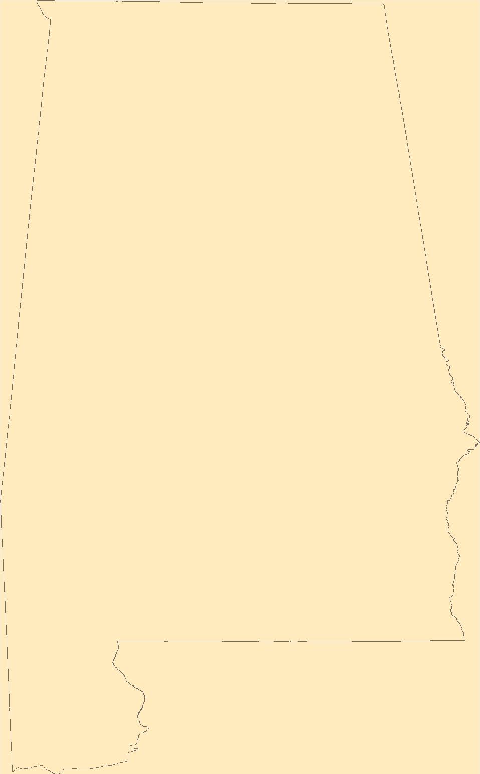
The Geographic Names Information System (GNIS) is the Federal standard for geographic nomenclature. The U.S. Geological Survey developed the GNIS for the U.S. Board on Geographic Names, a Federal inter-agency body chartered by public law to maintain uniform feature name usage throughout the Government and to promulgate standard names to the public. The GNIS is the official repository of domestic geographic names data; the official vehicle for geographic names use by all departments of the Federal Government; and the source for applying geographic names to Federal electronic and printed products of all types.
Tags: AL,
Alabama,
Antarctica,
Antarctica,
Autauga, All tags...
BGN,
Baldwin,
Barbour,
Bibb,
Blount,
Board on Geographic Names,
Borough,
Bullock,
Butler,
Calhoun,
Census Area,
Chambers,
Cherokee,
Chilton,
Choctaw,
Clarke,
Clay,
Cleburne,
Coffee,
Colbert,
Commonwealth,
Conecuh,
Coosa,
County,
Covington,
Crenshaw,
Cullman,
Dale,
Dallas,
DeKalb,
District,
Downloadable Data,
Elmore,
Escambia,
Etowah,
Fayette,
Feature class,
Feature coordinates,
Feature county,
Feature description,
Feature designation,
Feature history,
Feature indentification,
Feature name,
Feature state,
Franklin,
GNIS,
Geneva,
Geographic Names,
Geographic Names Domestic Names,
Geographic Names Information System,
Geographic feature,
Geographic name,
Geographical feature,
Geographical name,
Greene,
Hale,
Henry,
Houston,
Jackson,
Jefferson,
Lamar,
Lauderdale,
Lawrence,
Lee,
Limestone,
Lowndes,
Macon,
Madison,
Marengo,
Marion,
Marshall,
Mobile,
Monroe,
Montgomery,
Morgan,
Municipio,
National Geographic Names Information System (GNIS),
National Geographic Names Information System (GNIS),
Official feature name,
Outlying Area,
Parish,
Perry,
Pickens,
Pike,
Place name,
Populated Place,
Randolph,
Russell,
Shelby,
St. Clair,
State,
Sumter,
TXT (pipes),
Talladega,
Tallapoosa,
Territories,
Territory,
Topographic Map,
Tuscaloosa,
U.S. Board on Geographic Names,
U.S. Geological Survey,
US,
USA,
USBGN,
USGS,
UTF-8 Pipe Delimited Text File nan,
United States,
United States,
United States,
Variant name,
Walker,
Washington,
Wilcox,
Winston,
antarctic,
database,
economy,
environment,
feature,
gazetteer,
geographic,
geographic names,
geographical,
geography,
geospatial,
imageryBaseMapsEarthCover,
inlandWaters,
location,
map,
name,
place,
placename,
society,
structure,
topographic map,
toponymy, Fewer tags
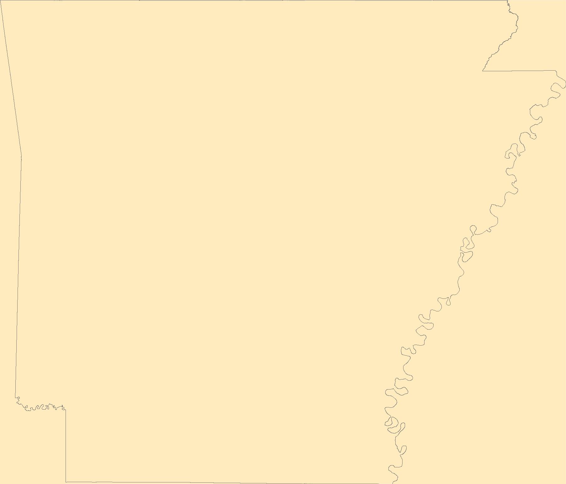
The Geographic Names Information System (GNIS) is the Federal standard for geographic nomenclature. The U.S. Geological Survey developed the GNIS for the U.S. Board on Geographic Names, a Federal inter-agency body chartered by public law to maintain uniform feature name usage throughout the Government and to promulgate standard names to the public. The GNIS is the official repository of domestic geographic names data; the official vehicle for geographic names use by all departments of the Federal Government; and the source for applying geographic names to Federal electronic and printed products of all types.
Tags: AR,
Antarctica,
Antarctica,
Arkansas,
Arkansas, All tags...
Ashley,
BGN,
Baxter,
Benton,
Board on Geographic Names,
Boone,
Borough,
Bradley,
Calhoun,
Carroll,
Census Area,
Chicot,
Clark,
Clay,
Cleburne,
Cleveland,
Columbia,
Commonwealth,
Conway,
County,
Craighead,
Crawford,
Crittenden,
Cross,
Dallas,
Desha,
District,
Downloadable Data,
Drew,
Faulkner,
Feature class,
Feature coordinates,
Feature county,
Feature description,
Feature designation,
Feature history,
Feature indentification,
Feature name,
Feature state,
Franklin,
Fulton,
GNIS,
Garland,
Geographic Names,
Geographic Names Domestic Names,
Geographic Names Information System,
Geographic feature,
Geographic name,
Geographical feature,
Geographical name,
Grant,
Greene,
Hempstead,
Hot Spring,
Howard,
Independence,
Izard,
Jackson,
Jefferson,
Johnson,
Lafayette,
Lawrence,
Lee,
Lincoln,
Little River,
Logan,
Lonoke,
Madison,
Marion,
Miller,
Mississippi,
Monroe,
Montgomery,
Municipio,
National Geographic Names Information System (GNIS),
National Geographic Names Information System (GNIS),
Nevada,
Newton,
Official feature name,
Ouachita,
Outlying Area,
Parish,
Perry,
Phillips,
Pike,
Place name,
Poinsett,
Polk,
Pope,
Populated Place,
Prairie,
Pulaski,
Randolph,
Saline,
Scott,
Searcy,
Sebastian,
Sevier,
Sharp,
St. Francis,
State,
Stone,
TXT (pipes),
Territories,
Territory,
Topographic Map,
U.S. Board on Geographic Names,
U.S. Geological Survey,
US,
USA,
USBGN,
USGS,
UTF-8 Pipe Delimited Text File nan,
Union,
United States,
United States,
United States,
Van Buren,
Variant name,
Washington,
White,
Woodruff,
Yell,
antarctic,
database,
economy,
environment,
feature,
gazetteer,
geographic,
geographic names,
geographical,
geography,
geospatial,
imageryBaseMapsEarthCover,
inlandWaters,
location,
map,
name,
place,
placename,
society,
structure,
topographic map,
toponymy, Fewer tags
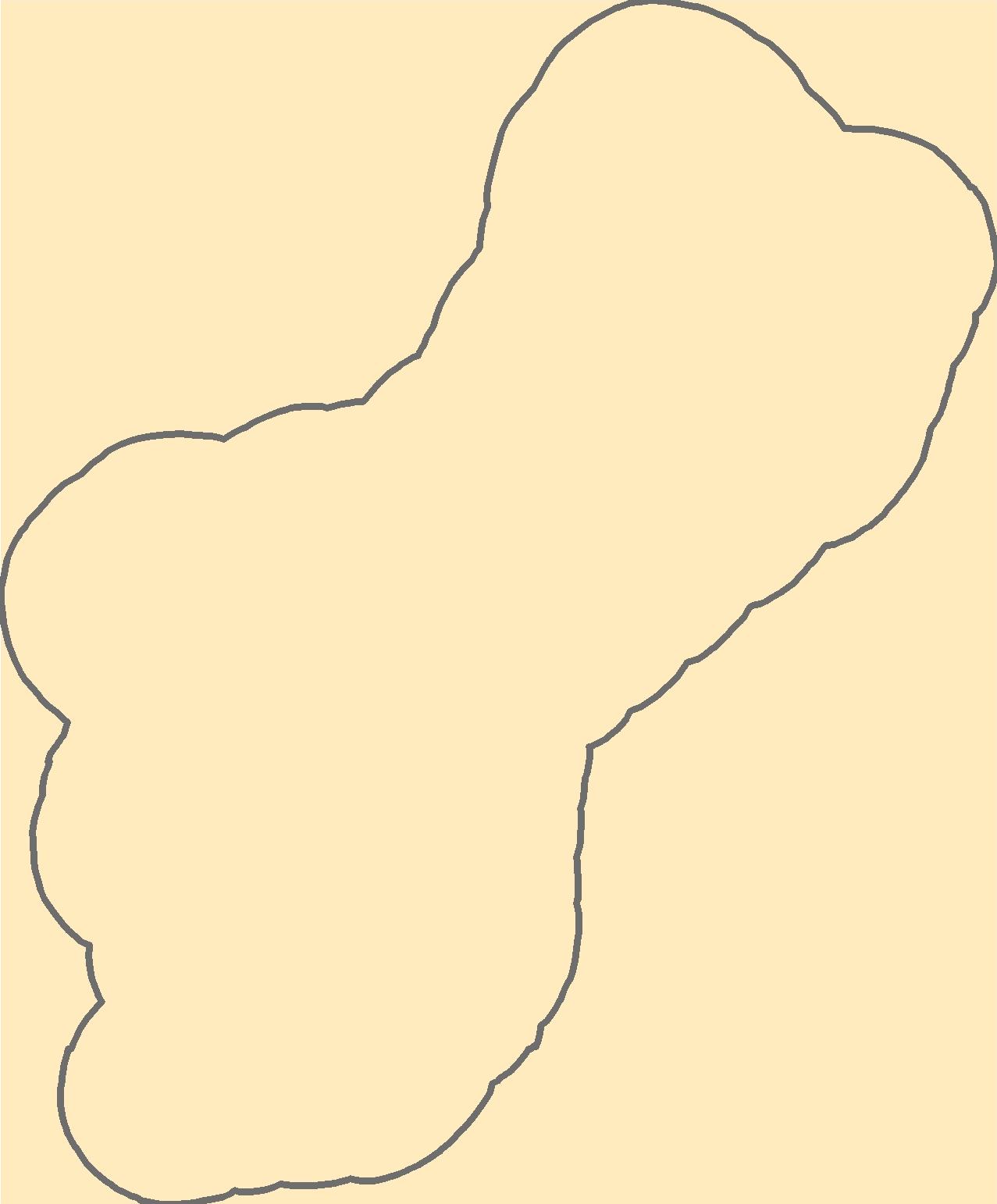
The Geographic Names Information System (GNIS) is the Federal standard for geographic nomenclature. The U.S. Geological Survey developed the GNIS for the U.S. Board on Geographic Names, a Federal inter-agency body chartered by public law to maintain uniform feature name usage throughout the Government and to promulgate standard names to the public. The GNIS is the official repository of domestic geographic names data; the official vehicle for geographic names use by all departments of the Federal Government; and the source for applying geographic names to Federal electronic and printed products of all types.
Tags: Antarctica,
Antarctica,
BGN,
Board on Geographic Names,
Borough, All tags...
Census Area,
Commonwealth,
County,
District,
Downloadable Data,
Feature class,
Feature coordinates,
Feature county,
Feature description,
Feature designation,
Feature history,
Feature indentification,
Feature name,
Feature state,
GNIS,
GU,
Geographic Names,
Geographic Names Domestic Names,
Geographic Names Information System,
Geographic feature,
Geographic name,
Geographical feature,
Geographical name,
Guam,
Guam,
Municipio,
National Geographic Names Information System (GNIS),
National Geographic Names Information System (GNIS),
Official feature name,
Outlying Area,
Parish,
Place name,
Populated Place,
State,
TXT (pipes),
Territories,
Territory,
Topographic Map,
U.S. Board on Geographic Names,
U.S. Geological Survey,
US,
USA,
USBGN,
USGS,
UTF-8 Pipe Delimited Text File nan,
United States,
United States,
United States,
Variant name,
antarctic,
database,
economy,
environment,
feature,
gazetteer,
geographic,
geographic names,
geographical,
geography,
geospatial,
imageryBaseMapsEarthCover,
inlandWaters,
location,
map,
name,
place,
placename,
society,
structure,
topographic map,
toponymy, Fewer tags
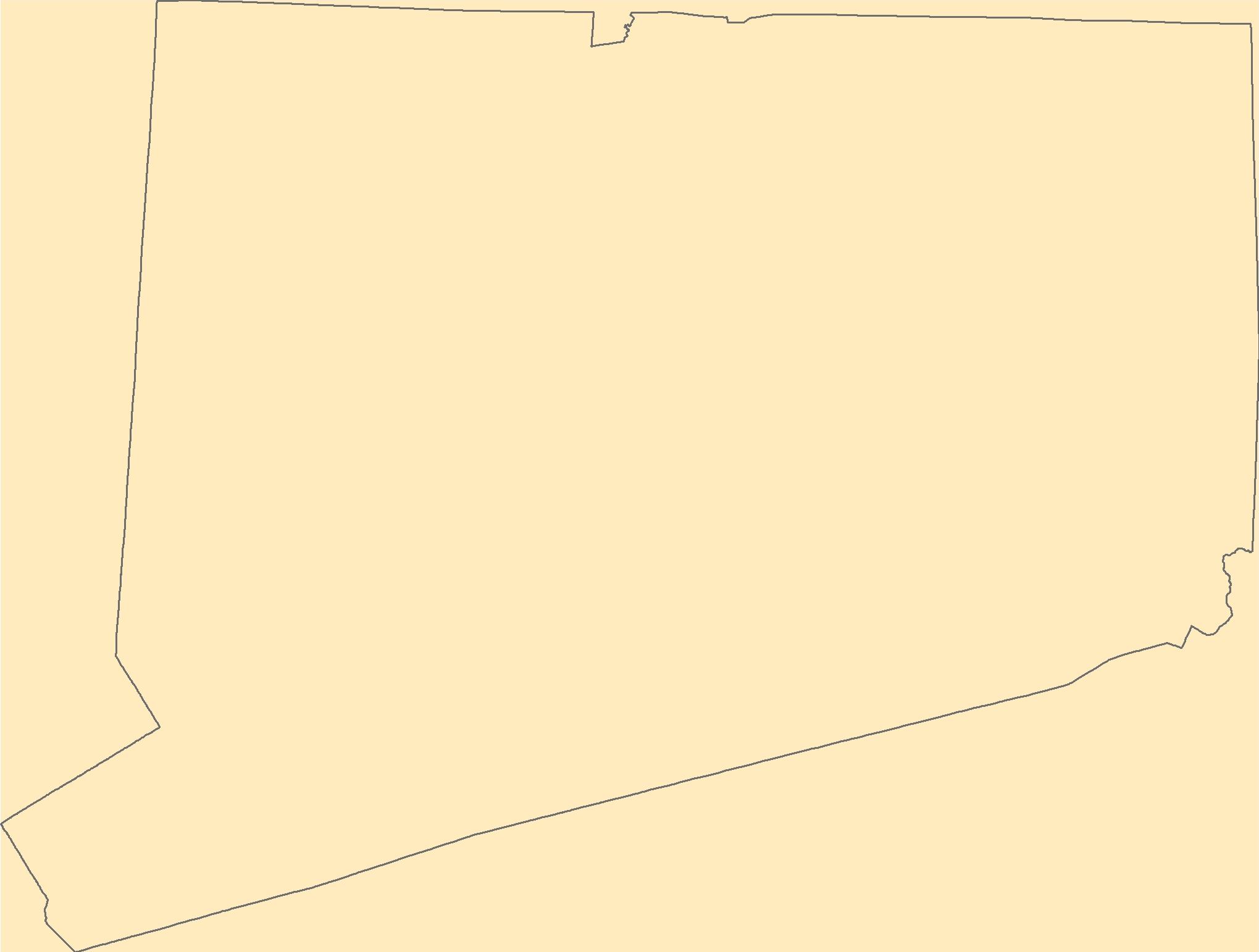
The Geographic Names Information System (GNIS) is the Federal standard for geographic nomenclature. The U.S. Geological Survey developed the GNIS for the U.S. Board on Geographic Names, a Federal inter-agency body chartered by public law to maintain uniform feature name usage throughout the Government and to promulgate standard names to the public. The GNIS is the official repository of domestic geographic names data; the official vehicle for geographic names use by all departments of the Federal Government; and the source for applying geographic names to Federal electronic and printed products of all types.
Tags: Antarctica,
Antarctica,
BGN,
Board on Geographic Names,
Borough, All tags...
CT,
Capitol,
Census Area,
Commonwealth,
Connecticut,
County,
District,
Downloadable Data,
Feature class,
Feature coordinates,
Feature county,
Feature description,
Feature designation,
Feature history,
Feature indentification,
Feature name,
Feature state,
GNIS,
Geographic Names,
Geographic Names Domestic Names,
Geographic Names Information System,
Geographic feature,
Geographic name,
Geographical feature,
Geographical name,
Greater Bridgeport,
Lower Connecticut River Valley,
Municipio,
National Geographic Names Information System (GNIS),
National Geographic Names Information System (GNIS),
Naugatuck Valley,
Northeastern Connecticut,
Northwest Hills,
Official feature name,
Outlying Area,
Parish,
Place name,
Populated Place,
South Central Connecticut,
Southeastern Connecticut,
State,
TXT (pipes),
Territories,
Territory,
Topographic Map,
U.S. Board on Geographic Names,
U.S. Geological Survey,
US,
USA,
USBGN,
USGS,
UTF-8 Pipe Delimited Text File nan,
United States,
United States,
United States,
Variant name,
Western Connecticut,
antarctic,
database,
economy,
environment,
feature,
gazetteer,
geographic,
geographic names,
geographical,
geography,
geospatial,
imageryBaseMapsEarthCover,
inlandWaters,
location,
map,
name,
place,
placename,
society,
structure,
topographic map,
toponymy, Fewer tags

The Geographic Names Information System (GNIS) is the Federal standard for geographic nomenclature. The U.S. Geological Survey developed the GNIS for the U.S. Board on Geographic Names, a Federal inter-agency body chartered by public law to maintain uniform feature name usage throughout the Government and to promulgate standard names to the public. The GNIS is the official repository of domestic geographic names data; the official vehicle for geographic names use by all departments of the Federal Government; and the source for applying geographic names to Federal electronic and printed products of all types.
Tags: Adams,
Alamosa,
Antarctica,
Antarctica,
Arapahoe, All tags...
Archuleta,
BGN,
Baca,
Bent,
Board on Geographic Names,
Borough,
Boulder,
Broomfield,
CO,
Census Area,
Chaffee,
Cheyenne,
Clear Creek,
Colorado,
Commonwealth,
Conejos,
Costilla,
County,
Crowley,
Custer,
Delta,
Denver,
District,
Dolores,
Douglas,
Downloadable Data,
Eagle,
El Paso,
Elbert,
Feature class,
Feature coordinates,
Feature county,
Feature description,
Feature designation,
Feature history,
Feature indentification,
Feature name,
Feature state,
Fremont,
GNIS,
Garfield,
Geographic Names,
Geographic Names Domestic Names,
Geographic Names Information System,
Geographic feature,
Geographic name,
Geographical feature,
Geographical name,
Gilpin,
Grand,
Gunnison,
Hinsdale,
Huerfano,
Jackson,
Jefferson,
Kiowa,
Kit Carson,
La Plata,
Lake,
Larimer,
Las Animas,
Lincoln,
Logan,
Mesa,
Mineral,
Moffat,
Montezuma,
Montrose,
Morgan,
Municipio,
National Geographic Names Information System (GNIS),
National Geographic Names Information System (GNIS),
Official feature name,
Otero,
Ouray,
Outlying Area,
Parish,
Park,
Phillips,
Pitkin,
Place name,
Populated Place,
Prowers,
Pueblo,
Rio Blanco,
Rio Grande,
Routt,
Saguache,
San Juan,
San Miguel,
Sedgwick,
State,
Summit,
TXT (pipes),
Teller,
Territories,
Territory,
Topographic Map,
U.S. Board on Geographic Names,
U.S. Geological Survey,
US,
USA,
USBGN,
USGS,
UTF-8 Pipe Delimited Text File nan,
United States,
United States,
United States,
Variant name,
Washington,
Weld,
Yuma,
antarctic,
database,
economy,
environment,
feature,
gazetteer,
geographic,
geographic names,
geographical,
geography,
geospatial,
imageryBaseMapsEarthCover,
inlandWaters,
location,
map,
name,
place,
placename,
society,
structure,
topographic map,
toponymy, Fewer tags
This body section usually contains what's in the summary plus some additional information if there is any.
Tags: AASG,
Aeromagnetic survey,
Airborne geophysical survey,
Association of State Geologists,
Earth Mapping Resources Initiative, All tags...
EarthMRI,
Economic Geology,
Economy,
GGGSC,
Geology, Geophysics, and Geochemistry Science Center,
Geophysics,
GeoscientificInformation,
Geospatial datasets,
MRP,
Magnetic field (earth),
Mineral Resources,
Mineral Resources Program,
National Cooperative Geologic Mapping Program,
Sedimentology,
Structural Geology,
U.S. Geological Survey,
USA,
USGS,
United States,
United States of America,
{state},
{state}, Fewer tags
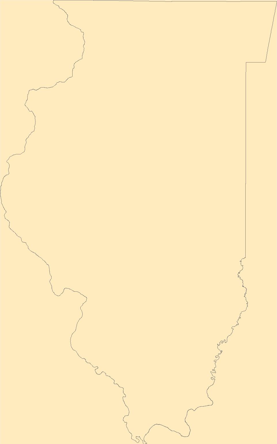
The Geographic Names Information System (GNIS) is the Federal standard for geographic nomenclature. The U.S. Geological Survey developed the GNIS for the U.S. Board on Geographic Names, a Federal inter-agency body chartered by public law to maintain uniform feature name usage throughout the Government and to promulgate standard names to the public. The GNIS is the official repository of domestic geographic names data; the official vehicle for geographic names use by all departments of the Federal Government; and the source for applying geographic names to Federal electronic and printed products of all types.
Tags: Adams,
Alexander,
Antarctica,
Antarctica,
BGN, All tags...
Board on Geographic Names,
Bond,
Boone,
Borough,
Brown,
Bureau,
Calhoun,
Carroll,
Cass,
Census Area,
Champaign,
Christian,
Clark,
Clay,
Clinton,
Coles,
Commonwealth,
Cook,
County,
Crawford,
Cumberland,
De Witt,
DeKalb,
District,
Douglas,
Downloadable Data,
DuPage,
Edgar,
Edwards,
Effingham,
Fayette,
Feature class,
Feature coordinates,
Feature county,
Feature description,
Feature designation,
Feature history,
Feature indentification,
Feature name,
Feature state,
Ford,
Franklin,
Fulton,
GNIS,
Gallatin,
Geographic Names,
Geographic Names Domestic Names,
Geographic Names Information System,
Geographic feature,
Geographic name,
Geographical feature,
Geographical name,
Greene,
Grundy,
Hamilton,
Hancock,
Hardin,
Henderson,
Henry,
IL,
Illinois,
Iroquois,
Jackson,
Jasper,
Jefferson,
Jersey,
Jo Daviess,
Johnson,
Kane,
Kankakee,
Kendall,
Knox,
LaSalle,
Lake,
Lawrence,
Lee,
Livingston,
Logan,
Macon,
Macoupin,
Madison,
Marion,
Marshall,
Mason,
Massac,
McDonough,
McHenry,
McLean,
Menard,
Mercer,
Monroe,
Montgomery,
Morgan,
Moultrie,
Municipio,
National Geographic Names Information System (GNIS),
National Geographic Names Information System (GNIS),
Official feature name,
Ogle,
Outlying Area,
Parish,
Peoria,
Perry,
Piatt,
Pike,
Place name,
Pope,
Populated Place,
Pulaski,
Putnam,
Randolph,
Richland,
Rock Island,
Saline,
Sangamon,
Schuyler,
Scott,
Shelby,
St. Clair,
Stark,
State,
Stephenson,
TXT (pipes),
Tazewell,
Territories,
Territory,
Topographic Map,
U.S. Board on Geographic Names,
U.S. Geological Survey,
US,
USA,
USBGN,
USGS,
UTF-8 Pipe Delimited Text File nan,
Union,
United States,
United States,
United States,
Variant name,
Vermilion,
Wabash,
Warren,
Washington,
Wayne,
White,
Whiteside,
Will,
Williamson,
Winnebago,
Woodford,
antarctic,
database,
economy,
environment,
feature,
gazetteer,
geographic,
geographic names,
geographical,
geography,
geospatial,
imageryBaseMapsEarthCover,
inlandWaters,
location,
map,
name,
place,
placename,
society,
structure,
topographic map,
toponymy, Fewer tags
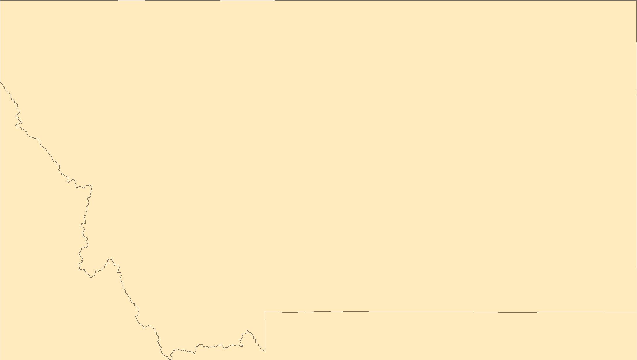
The Geographic Names Information System (GNIS) is the Federal standard for geographic nomenclature. The U.S. Geological Survey developed the GNIS for the U.S. Board on Geographic Names, a Federal inter-agency body chartered by public law to maintain uniform feature name usage throughout the Government and to promulgate standard names to the public. The GNIS is the official repository of domestic geographic names data; the official vehicle for geographic names use by all departments of the Federal Government; and the source for applying geographic names to Federal electronic and printed products of all types.
Tags: Antarctica,
Antarctica,
BGN,
Beaverhead,
Big Horn, All tags...
Blaine,
Board on Geographic Names,
Borough,
Broadwater,
Carbon,
Carter,
Cascade,
Census Area,
Chouteau,
Commonwealth,
County,
Custer,
Daniels,
Dawson,
Deer Lodge,
District,
Downloadable Data,
Fallon,
Feature class,
Feature coordinates,
Feature county,
Feature description,
Feature designation,
Feature history,
Feature indentification,
Feature name,
Feature state,
Fergus,
Flathead,
GNIS,
Gallatin,
Garfield,
Geographic Names,
Geographic Names Domestic Names,
Geographic Names Information System,
Geographic feature,
Geographic name,
Geographical feature,
Geographical name,
Glacier,
Golden Valley,
Granite,
Hill,
Jefferson,
Judith Basin,
Lake,
Lewis and Clark,
Liberty,
Lincoln,
MT,
Madison,
McCone,
Meagher,
Mineral,
Missoula,
Montana,
Municipio,
Musselshell,
National Geographic Names Information System (GNIS),
National Geographic Names Information System (GNIS),
Official feature name,
Outlying Area,
Parish,
Park,
Petroleum,
Phillips,
Place name,
Pondera,
Populated Place,
Powder River,
Powell,
Prairie,
Ravalli,
Richland,
Roosevelt,
Rosebud,
Sanders,
Sheridan,
Silver Bow,
State,
Stillwater,
Sweet Grass,
TXT (pipes),
Territories,
Territory,
Teton,
Toole,
Topographic Map,
Treasure,
U.S. Board on Geographic Names,
U.S. Geological Survey,
US,
USA,
USBGN,
USGS,
UTF-8 Pipe Delimited Text File nan,
United States,
United States,
United States,
Valley,
Variant name,
Wheatland,
Wibaux,
Yellowstone,
antarctic,
database,
economy,
environment,
feature,
gazetteer,
geographic,
geographic names,
geographical,
geography,
geospatial,
imageryBaseMapsEarthCover,
inlandWaters,
location,
map,
name,
place,
placename,
society,
structure,
topographic map,
toponymy, Fewer tags
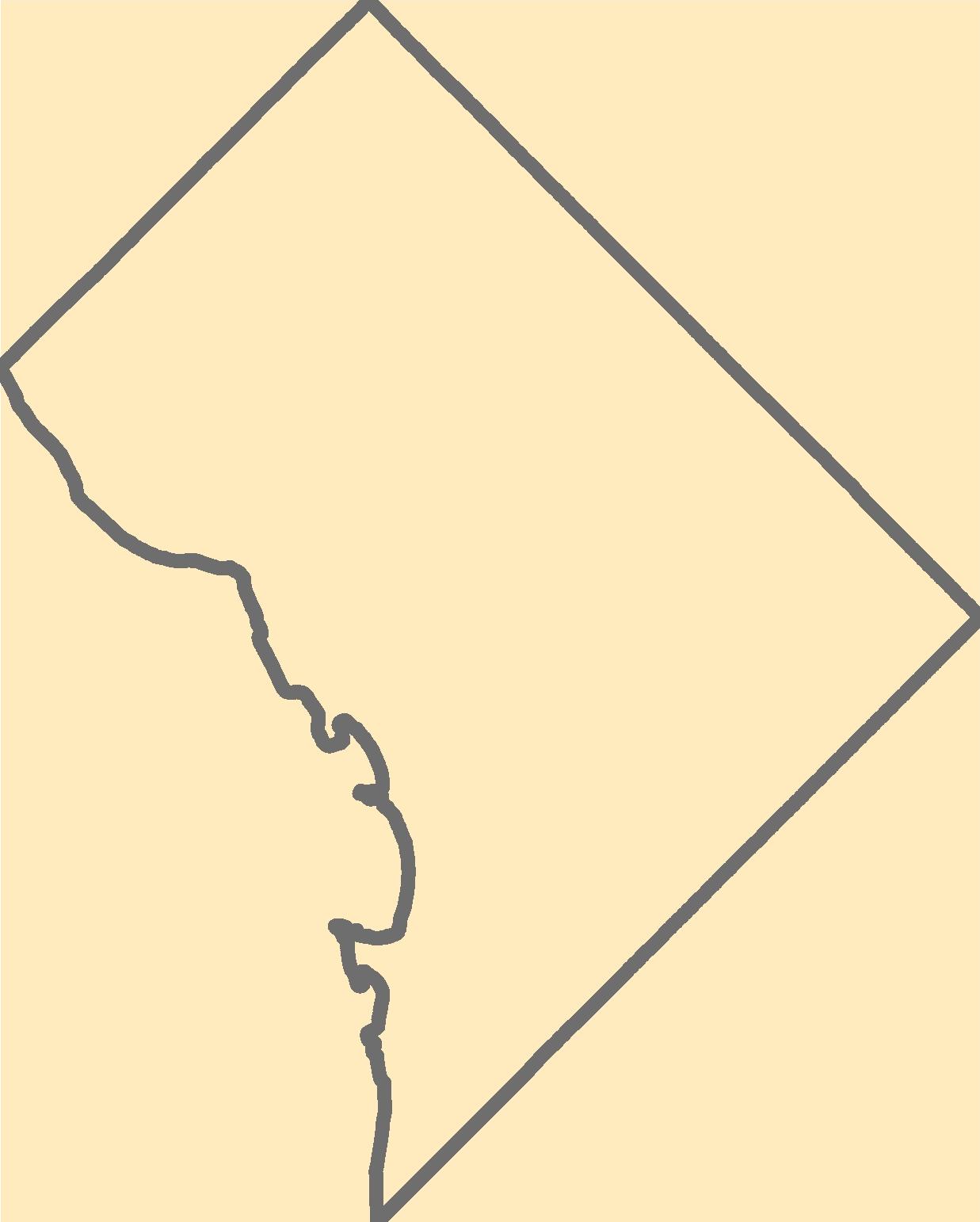
The Geographic Names Information System (GNIS) is the Federal standard for geographic nomenclature. The U.S. Geological Survey developed the GNIS for the U.S. Board on Geographic Names, a Federal inter-agency body chartered by public law to maintain uniform feature name usage throughout the Government and to promulgate standard names to the public. The GNIS is the official repository of domestic geographic names data; the official vehicle for geographic names use by all departments of the Federal Government; and the source for applying geographic names to Federal electronic and printed products of all types.
Tags: Antarctica,
Antarctica,
BGN,
Board on Geographic Names,
Borough, All tags...
Census Area,
Commonwealth,
County,
DC,
District,
District of Columbia,
District of Columbia,
Downloadable Data,
Feature class,
Feature coordinates,
Feature county,
Feature description,
Feature designation,
Feature history,
Feature indentification,
Feature name,
Feature state,
GNIS,
Geographic Names,
Geographic Names Domestic Names,
Geographic Names Information System,
Geographic feature,
Geographic name,
Geographical feature,
Geographical name,
Municipio,
National Geographic Names Information System (GNIS),
National Geographic Names Information System (GNIS),
Official feature name,
Outlying Area,
Parish,
Place name,
Populated Place,
State,
TXT (pipes),
Territories,
Territory,
Topographic Map,
U.S. Board on Geographic Names,
U.S. Geological Survey,
US,
USA,
USBGN,
USGS,
UTF-8 Pipe Delimited Text File nan,
United States,
United States,
United States,
Variant name,
antarctic,
database,
economy,
environment,
feature,
gazetteer,
geographic,
geographic names,
geographical,
geography,
geospatial,
imageryBaseMapsEarthCover,
inlandWaters,
location,
map,
name,
place,
placename,
society,
structure,
topographic map,
toponymy, Fewer tags
This body section usually contains what's in the summary plus some additional information if there is any.
Tags: AASG,
Aeromagnetic survey,
Airborne geophysical survey,
Association of State Geologists,
Earth Mapping Resources Initiative, All tags...
EarthMRI,
Economic Geology,
Economy,
GGGSC,
Geology, Geophysics, and Geochemistry Science Center,
Geophysics,
GeoscientificInformation,
Geospatial datasets,
MRP,
Magnetic field (earth),
Mineral Resources,
Mineral Resources Program,
National Cooperative Geologic Mapping Program,
Sedimentology,
Structural Geology,
U.S. Geological Survey,
USA,
USGS,
United States,
United States of America,
{state},
{state}, Fewer tags
The Geographic Names Information System (GNIS) is the Federal standard for geographic nomenclature. The U.S. Geological Survey developed the GNIS for the U.S. Board on Geographic Names, a Federal inter-agency body chartered by public law to maintain uniform feature name usage throughout the Government and to promulgate standard names to the public. The GNIS is the official repository of domestic geographic names data; the official vehicle for geographic names use by all departments of the Federal Government; and the source for applying geographic names to Federal electronic and printed products of all types.
Tags: Antarctica,
Antarctica,
Aurora,
BGN,
Beadle, All tags...
Bennett,
Board on Geographic Names,
Bon Homme,
Borough,
Brookings,
Brown,
Brule,
Buffalo,
Butte,
Campbell,
Census Area,
Charles Mix,
Clark,
Clay,
Codington,
Commonwealth,
Corson,
County,
Custer,
Davison,
Day,
Deuel,
Dewey,
District,
Douglas,
Downloadable Data,
Edmunds,
Fall River,
Faulk,
Feature class,
Feature coordinates,
Feature county,
Feature description,
Feature designation,
Feature history,
Feature indentification,
Feature name,
Feature state,
GNIS,
Geographic Names,
Geographic Names Domestic Names,
Geographic Names Information System,
Geographic feature,
Geographic name,
Geographical feature,
Geographical name,
Grant,
Gregory,
Haakon,
Hamlin,
Hand,
Hanson,
Harding,
Hughes,
Hutchinson,
Hyde,
Jackson,
Jerauld,
Jones,
Kingsbury,
Lake,
Lawrence,
Lincoln,
Lyman,
Marshall,
McCook,
McPherson,
Meade,
Mellette,
Miner,
Minnehaha,
Moody,
Municipio,
National Geographic Names Information System (GNIS),
National Geographic Names Information System (GNIS),
Official feature name,
Oglala Lakota,
Outlying Area,
Parish,
Pennington,
Perkins,
Place name,
Populated Place,
Potter,
Roberts,
SD,
Sanborn,
South Dakota,
Spink,
Stanley,
State,
Sully,
TXT (pipes),
Territories,
Territory,
Todd,
Topographic Map,
Tripp,
Turner,
U.S. Board on Geographic Names,
U.S. Geological Survey,
US,
USA,
USBGN,
USGS,
UTF-8 Pipe Delimited Text File nan,
Union,
United States,
United States,
United States,
Variant name,
Walworth,
Yankton,
Ziebach,
antarctic,
database,
economy,
environment,
feature,
gazetteer,
geographic,
geographic names,
geographical,
geography,
geospatial,
imageryBaseMapsEarthCover,
inlandWaters,
location,
map,
name,
place,
placename,
society,
structure,
topographic map,
toponymy, Fewer tags
The Geographic Names Information System (GNIS) is the Federal standard for geographic nomenclature. The U.S. Geological Survey developed the GNIS for the U.S. Board on Geographic Names, a Federal inter-agency body chartered by public law to maintain uniform feature name usage throughout the Government and to promulgate standard names to the public. The GNIS is the official repository of domestic geographic names data; the official vehicle for geographic names use by all departments of the Federal Government; and the source for applying geographic names to Federal electronic and printed products of all types.
Tags: Alcona,
Alger,
Allegan,
Alpena,
Antarctica, All tags...
Antarctica,
Antrim,
Arenac,
BGN,
Baraga,
Barry,
Bay,
Benzie,
Berrien,
Board on Geographic Names,
Borough,
Branch,
Calhoun,
Cass,
Census Area,
Charlevoix,
Cheboygan,
Chippewa,
Clare,
Clinton,
Commonwealth,
County,
Crawford,
Delta,
Dickinson,
District,
Downloadable Data,
Eaton,
Emmet,
Feature class,
Feature coordinates,
Feature county,
Feature description,
Feature designation,
Feature history,
Feature indentification,
Feature name,
Feature state,
GNIS,
Genesee,
Geographic Names,
Geographic Names Domestic Names,
Geographic Names Information System,
Geographic feature,
Geographic name,
Geographical feature,
Geographical name,
Gladwin,
Gogebic,
Grand Traverse,
Gratiot,
Hillsdale,
Houghton,
Huron,
Ingham,
Ionia,
Iosco,
Iron,
Isabella,
Jackson,
Kalamazoo,
Kalkaska,
Kent,
Keweenaw,
Lake,
Lapeer,
Leelanau,
Lenawee,
Livingston,
Luce,
MI,
Mackinac,
Macomb,
Manistee,
Marquette,
Mason,
Mecosta,
Menominee,
Michigan,
Midland,
Missaukee,
Monroe,
Montcalm,
Montmorency,
Municipio,
Muskegon,
National Geographic Names Information System (GNIS),
National Geographic Names Information System (GNIS),
Newaygo,
Oakland,
Oceana,
Official feature name,
Ogemaw,
Ontonagon,
Osceola,
Oscoda,
Otsego,
Ottawa,
Outlying Area,
Parish,
Place name,
Populated Place,
Presque Isle,
Roscommon,
Saginaw,
Sanilac,
Schoolcraft,
Shiawassee,
St. Clair,
St. Joseph,
State,
TXT (pipes),
Territories,
Territory,
Topographic Map,
Tuscola,
U.S. Board on Geographic Names,
U.S. Geological Survey,
US,
USA,
USBGN,
USGS,
UTF-8 Pipe Delimited Text File nan,
United States,
United States,
United States,
Van Buren,
Variant name,
Washtenaw,
Wayne,
Wexford,
antarctic,
database,
economy,
environment,
feature,
gazetteer,
geographic,
geographic names,
geographical,
geography,
geospatial,
imageryBaseMapsEarthCover,
inlandWaters,
location,
map,
name,
place,
placename,
society,
structure,
topographic map,
toponymy, Fewer tags
The Geographic Names Information System (GNIS) is the Federal standard for geographic nomenclature. The U.S. Geological Survey developed the GNIS for the U.S. Board on Geographic Names, a Federal inter-agency body chartered by public law to maintain uniform feature name usage throughout the Government and to promulgate standard names to the public. The GNIS is the official repository of domestic geographic names data; the official vehicle for geographic names use by all departments of the Federal Government; and the source for applying geographic names to Federal electronic and printed products of all types.
Tags: Antarctica,
Antarctica,
BGN,
Belknap,
Board on Geographic Names, All tags...
Borough,
Carroll,
Census Area,
Cheshire,
Commonwealth,
Coos,
County,
District,
Downloadable Data,
Feature class,
Feature coordinates,
Feature county,
Feature description,
Feature designation,
Feature history,
Feature indentification,
Feature name,
Feature state,
GNIS,
Geographic Names,
Geographic Names Domestic Names,
Geographic Names Information System,
Geographic feature,
Geographic name,
Geographical feature,
Geographical name,
Grafton,
Hillsborough,
Merrimack,
Municipio,
NH,
National Geographic Names Information System (GNIS),
National Geographic Names Information System (GNIS),
New Hampshire,
Official feature name,
Outlying Area,
Parish,
Place name,
Populated Place,
Rockingham,
State,
Strafford,
Sullivan,
TXT (pipes),
Territories,
Territory,
Topographic Map,
U.S. Board on Geographic Names,
U.S. Geological Survey,
US,
USA,
USBGN,
USGS,
UTF-8 Pipe Delimited Text File nan,
United States,
United States,
United States,
Variant name,
antarctic,
database,
economy,
environment,
feature,
gazetteer,
geographic,
geographic names,
geographical,
geography,
geospatial,
imageryBaseMapsEarthCover,
inlandWaters,
location,
map,
name,
place,
placename,
society,
structure,
topographic map,
toponymy, Fewer tags
The Geographic Names Information System (GNIS) is the Federal standard for geographic nomenclature. The U.S. Geological Survey developed the GNIS for the U.S. Board on Geographic Names, a Federal inter-agency body chartered by public law to maintain uniform feature name usage throughout the Government and to promulgate standard names to the public. The GNIS is the official repository of domestic geographic names data; the official vehicle for geographic names use by all departments of the Federal Government; and the source for applying geographic names to Federal electronic and printed products of all types.
Tags: Androscoggin,
Antarctica,
Antarctica,
Aroostook,
BGN, All tags...
Board on Geographic Names,
Borough,
Census Area,
Commonwealth,
County,
Cumberland,
District,
Downloadable Data,
Feature class,
Feature coordinates,
Feature county,
Feature description,
Feature designation,
Feature history,
Feature indentification,
Feature name,
Feature state,
Franklin,
GNIS,
Geographic Names,
Geographic Names Domestic Names,
Geographic Names Information System,
Geographic feature,
Geographic name,
Geographical feature,
Geographical name,
Hancock,
Kennebec,
Knox,
Lincoln,
ME,
Maine,
Municipio,
National Geographic Names Information System (GNIS),
National Geographic Names Information System (GNIS),
Official feature name,
Outlying Area,
Oxford,
Parish,
Penobscot,
Piscataquis,
Place name,
Populated Place,
Sagadahoc,
Somerset,
State,
TXT (pipes),
Territories,
Territory,
Topographic Map,
U.S. Board on Geographic Names,
U.S. Geological Survey,
US,
USA,
USBGN,
USGS,
UTF-8 Pipe Delimited Text File nan,
United States,
United States,
United States,
Variant name,
Waldo,
Washington,
York,
antarctic,
database,
economy,
environment,
feature,
gazetteer,
geographic,
geographic names,
geographical,
geography,
geospatial,
imageryBaseMapsEarthCover,
inlandWaters,
location,
map,
name,
place,
placename,
society,
structure,
topographic map,
toponymy, Fewer tags

This data release provides digital flight line data for a high-resolution airborne magnetic survey over parts of Montana in the vicinity of the Boulder Batholith. The airborne survey was jointly funded by the Earth Mapping Resources Initiative and Kennecott Exploration Company. The survey was designed to meet complementary needs related to geologic mapping and characterization of mineral resource potential. A total of 34,041-line km of magnetic and radiometric data were acquired over an irregular-shaped area of 6178 km2. Data were collected from a helicopter flown at a nominal terrain clearance of 100 meters (m) above topography along E-W flight lines spaced at 200 m intervals. Tie lines were flown in an N-S direction...
Categories: Data;
Types: Downloadable,
GeoTIFF,
Map Service,
Raster;
Tags: AASG,
Aeromagnetic survey,
Airborne geophysical survey,
Association of State Geologists,
Boulder Mountains, All tags...
Boulder River,
Broadwater County,
Butte,
Crow Creek,
Earth Mapping Resources Initiative,
EarthMRI,
Economic Geology,
Economy,
Elkhorn Mountains,
GGGSC,
Geology, Geophysics, and Geochemistry Science Center,
Geophysics,
GeoscientificInformation,
Geospatial datasets,
Helena,
Jefferson County,
Lewis and Clark County,
Little Blackfoot River,
MRP,
Magnetic field (earth),
Mineral Resources,
Mineral Resources Program,
Montana,
Montana,
National Cooperative Geologic Mapping Program,
Powell County,
Prickly Pear Creek,
Sedimentology,
Structural Geology,
Twin Bridges,
U.S. Geological Survey,
USA,
USGS,
United States,
United States of America,
Whitetail Valley, Fewer tags
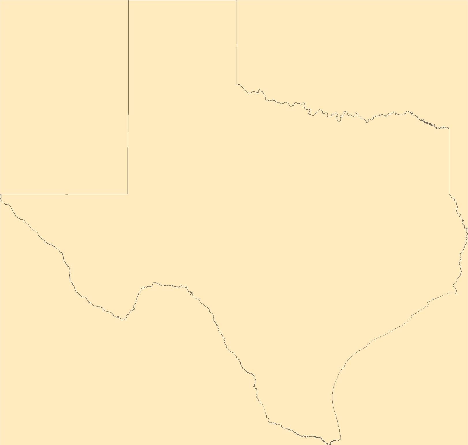
The Geographic Names Information System (GNIS) is the Federal standard for geographic nomenclature. The U.S. Geological Survey developed the GNIS for the U.S. Board on Geographic Names, a Federal inter-agency body chartered by public law to maintain uniform feature name usage throughout the Government and to promulgate standard names to the public. The GNIS is the official repository of domestic geographic names data; the official vehicle for geographic names use by all departments of the Federal Government; and the source for applying geographic names to Federal electronic and printed products of all types.
Tags: Anderson,
Andrews,
Angelina,
Antarctica,
Antarctica, All tags...
Aransas,
Archer,
Armstrong,
Atascosa,
Austin,
BGN,
Bailey,
Bandera,
Bastrop,
Baylor,
Bee,
Bell,
Bexar,
Blanco,
Board on Geographic Names,
Borden,
Borough,
Bosque,
Bowie,
Brazoria,
Brazos,
Brewster,
Briscoe,
Brooks,
Brown,
Burleson,
Burnet,
Caldwell,
Calhoun,
Callahan,
Cameron,
Camp,
Carson,
Cass,
Castro,
Census Area,
Chambers,
Cherokee,
Childress,
Clay,
Cochran,
Coke,
Coleman,
Collin,
Collingsworth,
Colorado,
Comal,
Comanche,
Commonwealth,
Concho,
Cooke,
Coryell,
Cottle,
County,
Crane,
Crockett,
Crosby,
Culberson,
Dallam,
Dallas,
Dawson,
DeWitt,
Deaf Smith,
Delta,
Denton,
Dickens,
Dimmit,
District,
Donley,
Downloadable Data,
Duval,
Eastland,
Ector,
Edwards,
El Paso,
Ellis,
Erath,
Falls,
Fannin,
Fayette,
Feature class,
Feature coordinates,
Feature county,
Feature description,
Feature designation,
Feature history,
Feature indentification,
Feature name,
Feature state,
Fisher,
Floyd,
Foard,
Fort Bend,
Franklin,
Freestone,
Frio,
GNIS,
Gaines,
Galveston,
Garza,
Geographic Names,
Geographic Names Domestic Names,
Geographic Names Information System,
Geographic feature,
Geographic name,
Geographical feature,
Geographical name,
Gillespie,
Glasscock,
Goliad,
Gonzales,
Gray,
Grayson,
Gregg,
Grimes,
Guadalupe,
Hale,
Hall,
Hamilton,
Hansford,
Hardeman,
Hardin,
Harris,
Harrison,
Hartley,
Haskell,
Hays,
Hemphill,
Henderson,
Hidalgo,
Hill,
Hockley,
Hood,
Hopkins,
Houston,
Howard,
Hudspeth,
Hunt,
Hutchinson,
Irion,
Jack,
Jackson,
Jasper,
Jeff Davis,
Jefferson,
Jim Hogg,
Jim Wells,
Johnson,
Jones,
Karnes,
Kaufman,
Kendall,
Kenedy,
Kent,
Kerr,
Kimble,
King,
Kinney,
Kleberg,
Knox,
La Salle,
Lamar,
Lamb,
Lampasas,
Lavaca,
Lee,
Leon,
Liberty,
Limestone,
Lipscomb,
Live Oak,
Llano,
Loving,
Lubbock,
Lynn,
Madison,
Marion,
Martin,
Mason,
Matagorda,
Maverick,
McCulloch,
McLennan,
McMullen,
Medina,
Menard,
Midland,
Milam,
Mills,
Mitchell,
Montague,
Montgomery,
Moore,
Morris,
Motley,
Municipio,
Nacogdoches,
National Geographic Names Information System (GNIS),
National Geographic Names Information System (GNIS),
Navarro,
Newton,
Nolan,
Nueces,
Ochiltree,
Official feature name,
Oldham,
Orange,
Outlying Area,
Palo Pinto,
Panola,
Parish,
Parker,
Parmer,
Pecos,
Place name,
Polk,
Populated Place,
Potter,
Presidio,
Rains,
Randall,
Reagan,
Real,
Red River,
Reeves,
Refugio,
Roberts,
Robertson,
Rockwall,
Runnels,
Rusk,
Sabine,
San Augustine,
San Jacinto,
San Patricio,
San Saba,
Schleicher,
Scurry,
Shackelford,
Shelby,
Sherman,
Smith,
Somervell,
Starr,
State,
Stephens,
Sterling,
Stonewall,
Sutton,
Swisher,
TX,
TXT (pipes),
Tarrant,
Taylor,
Terrell,
Territories,
Territory,
Terry,
Texas,
Throckmorton,
Titus,
Tom Green,
Topographic Map,
Travis,
Trinity,
Tyler,
U.S. Board on Geographic Names,
U.S. Geological Survey,
US,
USA,
USBGN,
USGS,
UTF-8 Pipe Delimited Text File nan,
United States,
United States,
United States,
Upshur,
Upton,
Uvalde,
Val Verde,
Van Zandt,
Variant name,
Victoria,
Walker,
Waller,
Ward,
Washington,
Webb,
Wharton,
Wheeler,
Wichita,
Wilbarger,
Willacy,
Williamson,
Wilson,
Winkler,
Wise,
Wood,
Yoakum,
Young,
Zapata,
Zavala,
antarctic,
database,
economy,
environment,
feature,
gazetteer,
geographic,
geographic names,
geographical,
geography,
geospatial,
imageryBaseMapsEarthCover,
inlandWaters,
location,
map,
name,
place,
placename,
society,
structure,
topographic map,
toponymy, Fewer tags
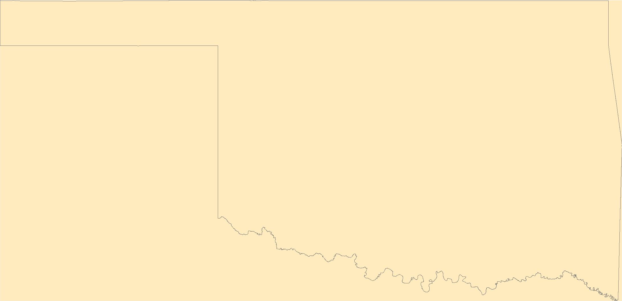
The Geographic Names Information System (GNIS) is the Federal standard for geographic nomenclature. The U.S. Geological Survey developed the GNIS for the U.S. Board on Geographic Names, a Federal inter-agency body chartered by public law to maintain uniform feature name usage throughout the Government and to promulgate standard names to the public. The GNIS is the official repository of domestic geographic names data; the official vehicle for geographic names use by all departments of the Federal Government; and the source for applying geographic names to Federal electronic and printed products of all types.
Tags: Adair,
Alfalfa,
Antarctica,
Antarctica,
Atoka, All tags...
BGN,
Beaver,
Beckham,
Blaine,
Board on Geographic Names,
Borough,
Bryan,
Caddo,
Canadian,
Carter,
Census Area,
Cherokee,
Choctaw,
Cimarron,
Cleveland,
Coal,
Comanche,
Commonwealth,
Cotton,
County,
Craig,
Creek,
Custer,
Delaware,
Dewey,
District,
Downloadable Data,
Ellis,
Feature class,
Feature coordinates,
Feature county,
Feature description,
Feature designation,
Feature history,
Feature indentification,
Feature name,
Feature state,
GNIS,
Garfield,
Garvin,
Geographic Names,
Geographic Names Domestic Names,
Geographic Names Information System,
Geographic feature,
Geographic name,
Geographical feature,
Geographical name,
Grady,
Grant,
Greer,
Harmon,
Harper,
Haskell,
Hughes,
Jackson,
Jefferson,
Johnston,
Kay,
Kingfisher,
Kiowa,
Latimer,
Le Flore,
Lincoln,
Logan,
Love,
Major,
Marshall,
Mayes,
McClain,
McCurtain,
McIntosh,
Municipio,
Murray,
Muskogee,
National Geographic Names Information System (GNIS),
National Geographic Names Information System (GNIS),
Noble,
Nowata,
OK,
Official feature name,
Okfuskee,
Oklahoma,
Oklahoma,
Okmulgee,
Osage,
Ottawa,
Outlying Area,
Parish,
Pawnee,
Payne,
Pittsburg,
Place name,
Pontotoc,
Populated Place,
Pottawatomie,
Pushmataha,
Roger Mills,
Rogers,
Seminole,
Sequoyah,
State,
Stephens,
TXT (pipes),
Territories,
Territory,
Texas,
Tillman,
Topographic Map,
Tulsa,
U.S. Board on Geographic Names,
U.S. Geological Survey,
US,
USA,
USBGN,
USGS,
UTF-8 Pipe Delimited Text File nan,
United States,
United States,
United States,
Variant name,
Wagoner,
Washington,
Washita,
Woods,
Woodward,
antarctic,
database,
economy,
environment,
feature,
gazetteer,
geographic,
geographic names,
geographical,
geography,
geospatial,
imageryBaseMapsEarthCover,
inlandWaters,
location,
map,
name,
place,
placename,
society,
structure,
topographic map,
toponymy, Fewer tags
The Geographic Names Information System (GNIS) is the Federal standard for geographic nomenclature. The U.S. Geological Survey developed the GNIS for the U.S. Board on Geographic Names, a Federal inter-agency body chartered by public law to maintain uniform feature name usage throughout the Government and to promulgate standard names to the public. The GNIS is the official repository of domestic geographic names data; the official vehicle for geographic names use by all departments of the Federal Government; and the source for applying geographic names to Federal electronic and printed products of all types.
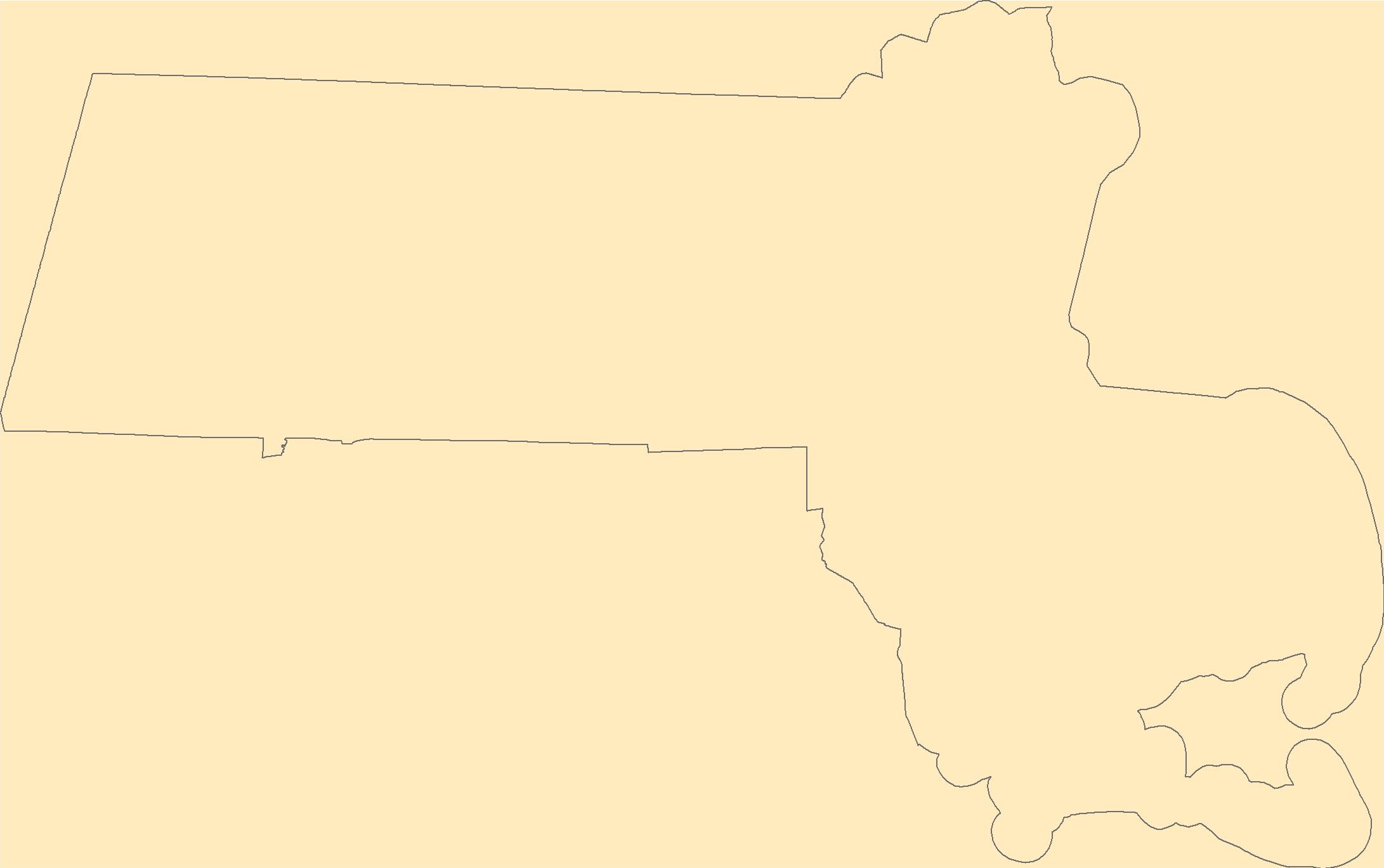
Tags: Antarctica,
Antarctica,
BGN,
Barnstable,
Berkshire, All tags...
Board on Geographic Names,
Borough,
Bristol,
Census Area,
Commonwealth,
County,
District,
Downloadable Data,
Dukes,
Essex,
Feature class,
Feature coordinates,
Feature county,
Feature description,
Feature designation,
Feature history,
Feature indentification,
Feature name,
Feature state,
Franklin,
GNIS,
Geographic Names,
Geographic Names Domestic Names,
Geographic Names Information System,
Geographic feature,
Geographic name,
Geographical feature,
Geographical name,
Hampden,
Hampshire,
MA,
Massachusetts,
Middlesex,
Municipio,
Nantucket,
National Geographic Names Information System (GNIS),
National Geographic Names Information System (GNIS),
Norfolk,
Official feature name,
Outlying Area,
Parish,
Place name,
Plymouth,
Populated Place,
State,
Suffolk,
TXT (pipes),
Territories,
Territory,
Topographic Map,
U.S. Board on Geographic Names,
U.S. Geological Survey,
US,
USA,
USBGN,
USGS,
UTF-8 Pipe Delimited Text File nan,
United States,
United States,
United States,
Variant name,
Worcester,
antarctic,
database,
economy,
environment,
feature,
gazetteer,
geographic,
geographic names,
geographical,
geography,
geospatial,
imageryBaseMapsEarthCover,
inlandWaters,
location,
map,
name,
place,
placename,
society,
structure,
topographic map,
toponymy, Fewer tags
|
|

