Filters: Tags: Elk Creek (X)
24 results (23ms)|
Filters
Date Range
Extensions Types Contacts
Categories Tag Types Tag Schemes |
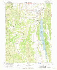
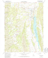
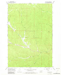
USGS Historical Quadrangle in GeoPDF.
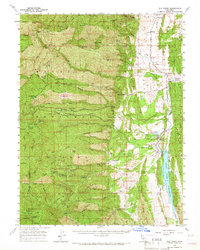
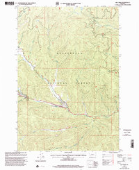
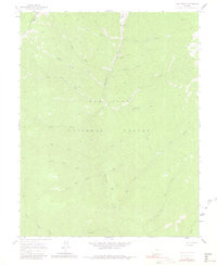
USGS Historical Quadrangle in GeoPDF.
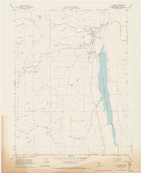
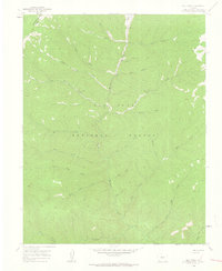
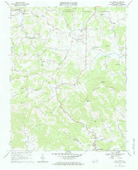
USGS Historical Quadrangle in GeoPDF.
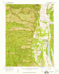
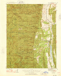
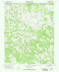
USGS Historical Quadrangle in GeoPDF.

USGS Historical Quadrangle in GeoPDF.
USGS Historical Quadrangle in GeoPDF.
USGS Historical Quadrangle in GeoPDF.
USGS Historical Quadrangle in GeoPDF.
USGS Historical Quadrangle in GeoPDF.
USGS Historical Quadrangle in GeoPDF.
USGS Historical Quadrangle in GeoPDF.
This U.S. Geological Survey (USGS) data release contains analytical data from a suite of rock and mineral samples collected from drill core within the Elk Creek alkaline complex, southeast Nebraska. This complex hosts the Elk Creek carbonatite, a multilithologic carbonatite enriched in niobium, rare earth elements (REEs), scandium, and titanium. Mineralized carbonatites are the world’s primary source of rare earth elements (REEs) and niobium, but only a few deposits are responsible for meeting the current demand of these critical elements such that there is increasing interest in other carbonatites that have the potential to help meet future demands. This study focuses on the Elk Creek carbonatite, the largest...
Categories: Data;
Types: Downloadable,
Map Service,
OGC WFS Layer,
OGC WMS Layer,
Shapefile;
Tags: Economic Geology,
Elk Creek,
Elk Creek carbonatite,
Geochemistry,
Johnson County,
USGS Historical Quadrangle in GeoPDF.
USGS Historical Quadrangle in GeoPDF.
USGS Historical Quadrangle in GeoPDF.
USGS Historical Quadrangle in GeoPDF.
USGS Historical Quadrangle in GeoPDF.
USGS Historical Quadrangle in GeoPDF.

USGS Historical Quadrangle in GeoPDF.
USGS Historical Quadrangle in GeoPDF.
|

|
