Filters: Tags: Ewing (X)
17 results (111ms)|
Filters
Date Range
Contacts
Tag Types Tag Schemes |
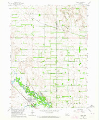
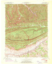
USGS Historical Quadrangle in GeoPDF.
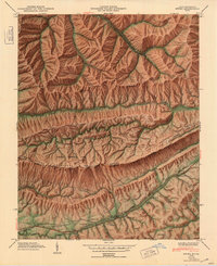
USGS Historical Quadrangle in GeoPDF.
This dataset contains a compilation of concentrations of chlorinated volatile organic compounds (VOCs) and per- and polyfluoroalkyl substances (PFAS) in groundwater and surface water sampled at the former Naval Air Warfare Center, West Trenton, New Jersey. Measured VOCs include trichloroethene (TCE), cis- 1,2-dichloroethene (cisDCE), and vinyl chloride (VC). Semi-volatile organic compound 1,4-dioxane is also included. Measured PFAS include perfluorooctane sulfonate (PFOS), perfluorooctanoic acid (PFOA), perfluorononanoic acid (PFNA), perfluorobutane sulfonate (PFBS), perfluorohexane sulfonate (PFHxS), perfluorohexanoic acid (PFHxA), perfluoroheptanoic acid (PFHpA), perfluorodecanoic acid (PFDA), perfluoroundecanoic...
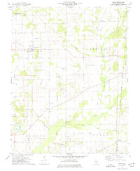
USGS Historical Quadrangle in GeoPDF.
This dataset includes positional data (latitude, longitude, altitude), construction details, and other relevant information for each borehole located at the former Naval Air Warfare Center, West Trenton, New Jersey. Cores, sealed wells, and test interval zones are also included.
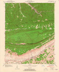
USGS Historical Quadrangle in GeoPDF.
This dataset contains U.S. Navy contractor-reported groundwater level data measured on June 18, 2018 and reported daily total groundwater pump-and-treat withdrawal volumes for calendar year 2018 at the former Naval Air Warfare Center, West Trenton, New Jersey. This data release supports: Fiore, A.R., and Lacombe, P.J., 2020, Groundwater levels and generalized potentiometric surfaces, former Naval Air Warfare Center, West Trenton, New Jersey, 2018: U.S. Geological Survey Open-File Report 2020-1016, 28 p., https://doi.org/10.3133/ofr20201016
USGS Historical Quadrangle in GeoPDF.

USGS Historical Quadrangle in GeoPDF.
USGS Historical Quadrangle in GeoPDF.
USGS Historical Quadrangle in GeoPDF.
USGS Historical Quadrangle in GeoPDF.
USGS Historical Quadrangle in GeoPDF.
USGS Historical Quadrangle in GeoPDF.
USGS Historical Quadrangle in GeoPDF.
USGS Historical Quadrangle in GeoPDF.
USGS Historical Quadrangle in GeoPDF.
|

|
