Filters: Tags: FARMINGTON (X)
64 results (296ms)|
Filters
Date Range
Extensions Types Contacts
Categories Tag Types Tag Schemes |
The USGS Central Region Energy Team assesses oil and gas resources of the United States. The onshore and State water areas of the United States comprise 71 provinces. Within these provinces, Total Petroleum Systems are defined and Assessment Units are defined and assessed. Each of these provinces is defined geologically, and most province boundaries are defined by major geologic changes. The San Juan Basin Province is located in South Western Colorado and North Western New Mexico, encompassing all or parts of Montezuma, La Plata, and Archuletta Counties in Colorado and all or parts of San Juan, Rio Arriba, Sandoval, Mckinley, Bernalillo, and Cibola Counties in New Mexico. The main population centers within the study...
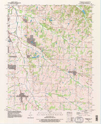
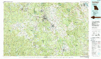
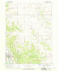
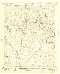
USGS Historical Quadrangle in GeoPDF.

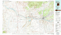
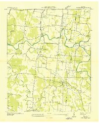
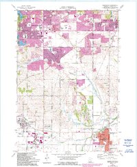
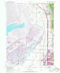
USGS Historical Quadrangle in GeoPDF.

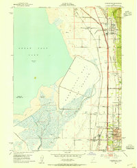
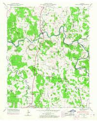
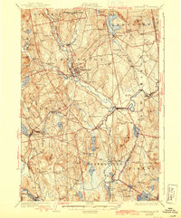
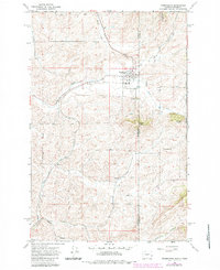
USGS Historical Quadrangle in GeoPDF.
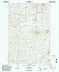
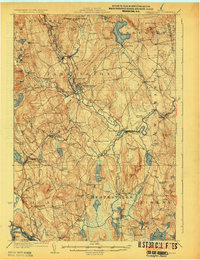
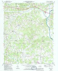
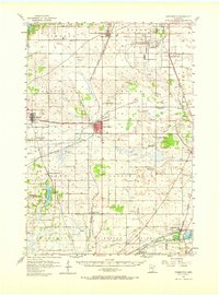
USGS Historical Quadrangle in GeoPDF.
USGS Historical Quadrangle in GeoPDF.
USGS Historical Quadrangle in GeoPDF.
USGS Historical Quadrangle in GeoPDF.
USGS Historical Quadrangle in GeoPDF.
USGS Historical Quadrangle in GeoPDF.
USGS Historical Quadrangle in GeoPDF.
The Total Petroleum System is used in the National Assessment Project and incorporates the Assessment Unit, which is the fundamental geologic unit used for the assessment of undiscovered oil and gas resources. The Total Petroleum System is shown here as a geographic boundary defined and mapped by the geologist responsible for the province and incorporates not only the set of known or postulated oil and (or) gas accumulations, but also the geologic interpretation of the essential elements and processes within the petroleum system that relate to source, generation, migration, accumulation, and trapping of the discovered and undiscovered petroleum resource(s).
USGS Historical Quadrangle in GeoPDF.
USGS Historical Quadrangle in GeoPDF.
USGS Historical Quadrangle in GeoPDF.
USGS Historical Quadrangle in GeoPDF.
USGS Historical Quadrangle in GeoPDF.
USGS Historical Quadrangle in GeoPDF.
USGS Historical Quadrangle in GeoPDF.
USGS Historical Quadrangle in GeoPDF.
|

|
