Filters: Tags: Fernando (X)
10 results (83ms)|
Filters
Date Range
Contacts Categories Tag Types Tag Schemes |
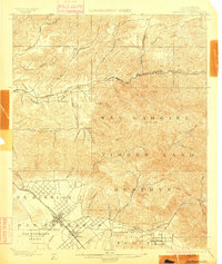
USGS Historical Quadrangle in GeoPDF.
ADMMR map collection: Bender Mine; 1 in. to 50 feet; 23 x 13 in.
This location is part of the Arizona Mineral Industry Location System (AzMILS), an inventory of mineral occurences, prospects and mine locations in Arizona. SantaCruz49B is located in T23S R16E Sec 9 N2 in the Harshaw - 7.5 Min quad. This collection consists of various reports, maps, records and related materials acquired by the Arizona Department of Mines and Mineral Resources regarding mining properties in Arizona. Information was obtained by various means, including the property owners, exploration companies, consultants, verbal interviews, field visits, newspapers and publications. Some sections may be redacted for copyright. Please see the access statement.

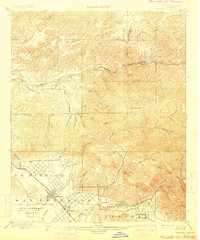
USGS Historical Quadrangle in GeoPDF.

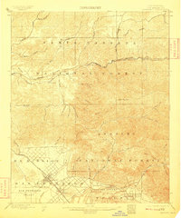
USGS Historical Quadrangle in GeoPDF.
ADMMR map collection: Fernando (Bender) Mine Section; 1 in. to 20 feet; 36 x 24 in.
USGS Historical Quadrangle in GeoPDF.
ADMMR map collection: Fernando (Bender) Mine Plan Map with Assay Data; 1 in. to 20 feet; 36 x 24 in.
ADMMR map collection: Patagonia Area Topographic Map Showing Principal Mines; 1 in. to 500 feet; 37 x 25 in.
USGS Historical Quadrangle in GeoPDF.
|

|
