Filters: Tags: Fountain (X)
111 results (27ms)|
Filters
Date Range
Types Contacts
Categories Tag Types Tag Schemes |

Geospatial data is comprised of government boundaries.
The U.S. Geological Survey, in cooperation with Colorado Springs Utilities, has been collecting topographic data annually since 2012 at 10 study areas along Fountain Creek, Colorado. The 10 study areas are located along Fountain Creek between Colorado Springs and the confluence of Fountain Creek and the Arkansas River in Pueblo. This data release presents topographic survey data, Light Detection and Ranging (lidar) survey data, and elevation rasters collected or generated during 2020 as part of that monitoring effort. Topographic survey points were collected using real-time kinematic Global Navigation Satellite Systems (RTK-GNSS). These point data, along with lidar point clouds, were used to generate 2020 digital...
Categories: Data;
Types: Map Service,
OGC WFS Layer,
OGC WMS Layer,
OGC WMS Service;
Tags: Colorado,
Colorado Springs,
El Paso County,
Fountain,
Fountain Creek,
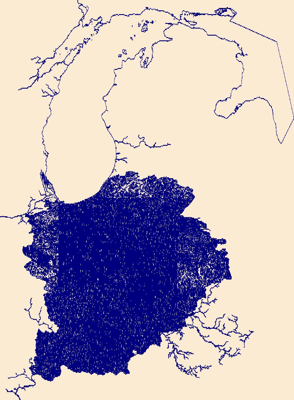
The National Hydrography Dataset (NHD) is a feature-based database that interconnects and uniquely identifies the stream segments or reaches that make up the nation's surface water drainage system. NHD data was originally developed at 1:100,000-scale and exists at that scale for the whole country. This high-resolution NHD, generally developed at 1:24,000/1:12,000 scale, adds detail to the original 1:100,000-scale NHD. (Data for Alaska, Puerto Rico and the Virgin Islands was developed at high-resolution, not 1:100,000 scale.) Local resolution NHD is being developed where partners and data exist. The NHD contains reach codes for networked features, flow direction, names, and centerline representations for areal water...
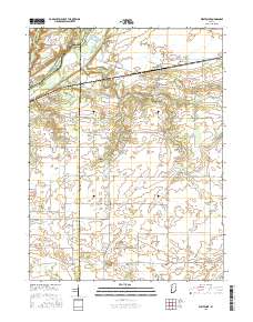
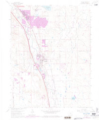
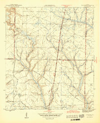
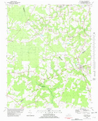
Layered geospatial PDF Map. Layers of geospatial data include orthoimagery, roads, grids, geographic names, elevation contours, hydrography, and other selected map features.
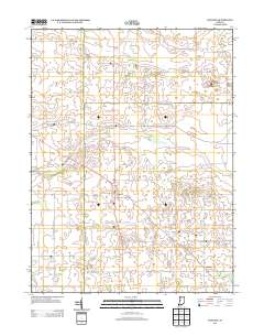
Layered GeoPDF 7.5 Minute Quadrangle Map. Layers of geospatial data include orthoimagery, roads, grids, geographic names, elevation contours, hydrography, and other selected map features.
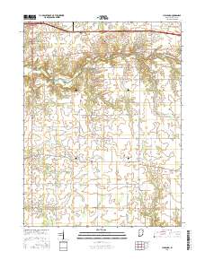
Layered geospatial PDF Map. Layers of geospatial data include orthoimagery, roads, grids, geographic names, elevation contours, hydrography, and other selected map features.
In 2012, the U.S. Geological Survey (USGS) in cooperation with Colorado Springs Utilities selected 10 reaches or study areas along Fountain Creek between Colorado Springs and the confluence of Fountain Creek at the Arkansas River for annual bed and bank characterization and topographic surveys. The 10 selected study areas are approximately 5 to 20 bank-full channel widths in length. The topographic surveys collected point data of location and elevation in the active channel and along both left and right banks and flood plains. Starting in 2012, USGS personnel have collected topographic survey data annually during the winter, spring, or summer using real-time kinematic Global Navigation Satellite Systems. These point...
Types: Citation,
Map Service,
OGC WFS Layer,
OGC WMS Layer,
OGC WMS Service;
Tags: Colorado,
Colorado Springs,
El Paso County,
Fountain,
Fountain Creek,
In 2012, the U.S. Geological Survey (USGS) Colorado Water Science Center in cooperation with Colorado Springs Utilities selected 10 reaches or study area along Fountain Creek between Colorado Springs and the confluence of Fountain Creek at the Arkansas River for annual bed and bank characterization and topographic surveys. The 10 selected study areas are approximately 5 to 20 bank-full channel widths in length. The topographic surveys collected point data of location and elevation in the active channel and along both left and right banks and flood plains. Historically, the topographic data have been collected exclusively using real-time kinematic Global Navigation Satellite Systems. However, on January 12, 2017,...
Types: Citation,
Map Service,
OGC WFS Layer,
OGC WMS Layer,
OGC WMS Service;
Tags: Colorado,
Colorado Springs,
El Paso County,
Fountain,
Fountain Creek,
In 2012, the U.S. Geological Survey (USGS) in cooperation with Colorado Springs Utilities selected 10 reaches or study areas along Fountain Creek between Colorado Springs and the confluence of Fountain Creek at the Arkansas River for annual bed and bank characterization and topographic surveys. The 10 selected study areas are approximately 5 to 20 bank-full channel widths in length. The topographic surveys collected point data of location and elevation in the active channel and along both left and right banks and flood plains. Starting in 2012, USGS personnel have collected topographic survey data annually during the winter, spring, spring, or summer using real-time kinematic Global Navigation Satellite Systems....
Types: Citation,
Map Service,
OGC WFS Layer,
OGC WMS Layer,
OGC WMS Service;
Tags: Colorado,
Colorado Springs,
El Paso County,
Fountain,
Fountain Creek,
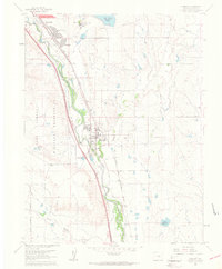
USGS Historical Quadrangle in GeoPDF.
USGS Historical Quadrangle in GeoPDF.

USGS Historical Quadrangle in GeoPDF.
USGS Historical Quadrangle in GeoPDF.
USGS Historical Quadrangle in GeoPDF.
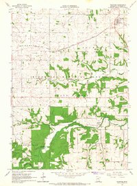
USGS Historical Quadrangle in GeoPDF.

The National Hydrography Dataset (NHD) is a feature-based database that interconnects and uniquely identifies the stream segments or reaches that make up the nation's surface water drainage system. NHD data was originally developed at 1:100,000-scale and exists at that scale for the whole country. This high-resolution NHD, generally developed at 1:24,000/1:12,000 scale, adds detail to the original 1:100,000-scale NHD. (Data for Alaska, Puerto Rico and the Virgin Islands was developed at high-resolution, not 1:100,000 scale.) Local resolution NHD is being developed where partners and data exist. The NHD contains reach codes for networked features, flow direction, names, and centerline representations for areal water...

Geospatial data includes structures and other selected map features.
Geospatial data includes structures and other selected map features.
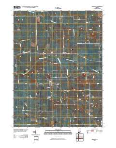
Layered GeoPDF 7.5 Minute Quadrangle Map. Layers of geospatial data include orthoimagery, roads, grids, geographic names, elevation contours, hydrography, and other selected map features.
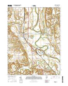
Layered geospatial PDF Map. Layers of geospatial data include orthoimagery, roads, grids, geographic names, elevation contours, hydrography, and other selected map features.
|

|
