Filters: Tags: GRAND CHENIER (X)
5 results (24ms)|
Filters
Date Range
Contacts Categories Tag Types Tag Schemes |
We characterized coastal wetland responses to flooding stress by measuring vegetation cover, wetland elevation and water elevation in healthy and degrading wetlands dominated by Spartina patens. Wetland elevation was measured using real-time kinematic survey methods. Vegetation cover was determined by visual estimation methods, and water elevation was measured using in situ continuous recorders. In addition to these local-scale responses, we also measured landscape-scale patterns of land and water aggregation or fragmentation using remotely sensed data (Jones et al., 2018). Associated products: Jones, W.R., Hartley, S.B., Stagg, C.L., and Osland, M.J. 2018. Land-water classification for selected sites in McFaddin...
Categories: Data;
Tags: Grand Chenier,
Land Use Change,
Texas,
USGS Science Data Catalog (SDC),
aggregation,

USGS Historical Quadrangle in GeoPDF.
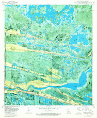
USGS Historical Quadrangle in GeoPDF.

USGS Historical Quadrangle in GeoPDF.
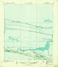
USGS Historical Quadrangle in GeoPDF.
|

|
