Filters: Tags: Groton (X)
38 results (125ms)|
Filters
Date Range
Extensions Types Contacts
Categories Tag Types
|
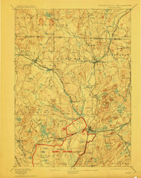
USGS Historical Quadrangle in GeoPDF.
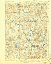
USGS Historical Quadrangle in GeoPDF.
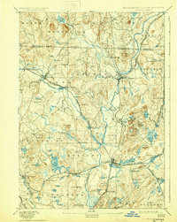
USGS Historical Quadrangle in GeoPDF.
This child item dataset contains a shapefile detailing the extent of a major lineament feature that crosses the Owasco Inlet watershed from southwest to northeast.
Categories: Data;
Types: Downloadable,
Map Service,
OGC WFS Layer,
OGC WMS Layer,
Shapefile;
Tags: Aquifer Mapping,
Basin & Hydrogeologic Characterization,
Cayuga County,
Freeville,
Groton,
This child item dataset contains a shapefile of well and test-boring data from the Owasco Inlet watershed.
Categories: Data;
Types: Downloadable,
Map Service,
OGC WFS Layer,
OGC WMS Layer,
Shapefile;
Tags: Aquifer Mapping,
Basin & Hydrogeologic Characterization,
Cayuga County,
Freeville,
Groton,
This child item dataset contains a shapefile that delineates traces of hydrogeologic sections illustrated in Heisig, 2023 (figure 3, plate 1). The "Section_id" attribute lists letter-number designations of each section. A second shapefile contains the map labels for the hydrogeologic sections in the format x - x'. By convention, the x is on the west side and the x' is on the east side of generally horizontal sections. In generally vertical sections, the x is the westernmost of the section ends and the x' is the eastermost end of the section line.
Categories: Data;
Types: Downloadable,
Map Service,
OGC WFS Layer,
OGC WMS Layer,
Shapefile;
Tags: Aquifer Mapping,
Basin & Hydrogeologic Characterization,
Cayuga County,
Freeville,
Groton,
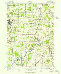
USGS Historical Quadrangle in GeoPDF.
This child item dataset contains a shapefile that delineates glacially streamlined unconsolidated deposits (mega flutes) that are indicative of the direction of rapid ice flow.
Categories: Data;
Types: Downloadable,
Map Service,
OGC WFS Layer,
OGC WMS Layer,
Shapefile;
Tags: Aquifer Mapping,
Basin & Hydrogeologic Characterization,
Cayuga County,
Freeville,
Groton,
This child item dataset contains a shapefile that delineates areas of thick upland overburden within the Owasco Inlet watershed.
Categories: Data;
Types: Downloadable,
Map Service,
OGC WFS Layer,
OGC WMS Layer,
Shapefile;
Tags: Aquifer Mapping,
Basin & Hydrogeologic Characterization,
Cayuga County,
Freeville,
Groton,
In 2015, the U.S. Geological Survey (USGS), in cooperation with the New York State Department of Environmental Conservation (NYSDEC), began an appraisal of the sand and gravel aquifers within the Owasco Inlet watershed, which covers about 117 square miles (mi2) and drains north directly to Owasco Lake, one of New York’s Finger Lakes. About three-quarters of the watershed is within Cayuga County; the remaining area (southern end) is in Tompkins County. The Owasco Inlet valley stretches about 18 miles (mi) from Owasco Lake south to the divide at Freeville. Major tributaries include Hemlock Creek on the west side of the watershed and Dresserville and Decker Creeks on the east side. A variety of data were compiled,...

USGS Historical Quadrangle in GeoPDF.
USGS Historical Quadrangle in GeoPDF.
USGS Historical Quadrangle in GeoPDF.
USGS Historical Quadrangle in GeoPDF.
USGS Historical Quadrangle in GeoPDF.
In 2016, the U.S. Geological Survey, in cooperation with the New York State Department of Environmental Conservation, collected horizontal-to-vertical seismic soundings at 31 locations in the Owasco Inlet valley, Cayuga and Tompkins Counties, New York to help determine thickness of the unconsolidated deposits. The HVSR technique, commonly referred to as the passive-seismic method, is used to estimate the thickness of unconsolidated sediments and the depth to bedrock (Lane and others, 2008; Fairchild and others, 2013). The passive-seismic method uses a single, broad-band three-component (two horizontal and one vertical) seismometer to record ambient seismic noise. In areas that have a strong acoustic contrast between...
Categories: Data;
Types: Downloadable,
Map Service,
OGC WFS Layer,
OGC WMS Layer,
Shapefile;
Tags: Aquifer,
Aquifer Mapping,
Basin & Hydrogeologic Characterization,
Cayuga County,
Groton,
This child item dataset contains a shapefile that delineates areas of known or inferred unconfined and semiconfined aquifers within the Owasco Inlet watershed.
Categories: Data;
Types: Downloadable,
Map Service,
OGC WFS Layer,
OGC WMS Layer,
Shapefile;
Tags: Aquifer Mapping,
Basin & Hydrogeologic Characterization,
Cayuga County,
Freeville,
Groton,
This child item dataset contains a shapefile that delineates former and active gravel pits and quarries within the Owasco Inlet watershed.
Categories: Data;
Types: Downloadable,
Map Service,
OGC WFS Layer,
OGC WMS Layer,
Shapefile;
Tags: Aquifer Mapping,
Basin & Hydrogeologic Characterization,
Cayuga County,
Freeville,
Groton,
|

|
