Filters: Tags: Hawaii (X)
2,976 results (152ms)|
Filters
Date Range
Extensions
Types
Contacts
Categories Tag Types
|

"USDA has purchased a Enterprise Premium license for this Orthoimagery dataset from DigitalGlobe, Inc. Any government, education, not-for-profit agency and public/individuals not engaged in using the "Product for Commercial Exploitation or Commercial Purposes" can use this licensed data. Use of this product for Commercial Purposes by a person/company/organization for a profit or fee is strictly prohibited. Please refer to the separately attached license from DigitalGlobe, Inc. for additional information. Digital orthoimagery combines the image characteristics of a digital image with the geometric qualities of a map. The primary dynamic digital orthophoto is a 60 centimeter ground resolution, image cast to the customer...

"USDA has purchased a Enterprise Premium license for this Orthoimagery dataset from DigitalGlobe, Inc. Any government, education, not-for-profit agency and public/individuals not engaged in using the "Product for Commercial Exploitation or Commercial Purposes" can use this licensed data. Use of this product for Commercial Purposes by a person/company/organization for a profit or fee is strictly prohibited. Please refer to the separately attached license from DigitalGlobe, Inc. for additional information. Digital orthoimagery combines the image characteristics of a digital image with the geometric qualities of a map. The primary dynamic digital orthophoto is a 60 centimeter ground resolution, image cast to the customer...

"USDA has purchased a Enterprise Premium license for this Orthoimagery dataset from DigitalGlobe, Inc. Any government, education, not-for-profit agency and public/individuals not engaged in using the "Product for Commercial Exploitation or Commercial Purposes" can use this licensed data. Use of this product for Commercial Purposes by a person/company/organization for a profit or fee is strictly prohibited. Please refer to the separately attached license from DigitalGlobe, Inc. for additional information. Digital orthoimagery combines the image characteristics of a digital image with the geometric qualities of a map. The primary dynamic digital orthophoto is a 60 centimeter ground resolution, image cast to the customer...

"USDA has purchased a Enterprise Premium license for this Orthoimagery dataset from DigitalGlobe, Inc. Any government, education, not-for-profit agency and public/individuals not engaged in using the "Product for Commercial Exploitation or Commercial Purposes" can use this licensed data. Use of this product for Commercial Purposes by a person/company/organization for a profit or fee is strictly prohibited. Please refer to the separately attached license from DigitalGlobe, Inc. for additional information. Digital orthoimagery combines the image characteristics of a digital image with the geometric qualities of a map. The primary dynamic digital orthophoto is a 60 centimeter ground resolution, image cast to the customer...

"USDA has purchased a Enterprise Premium license for this Orthoimagery dataset from DigitalGlobe, Inc. Any government, education, not-for-profit agency and public/individuals not engaged in using the "Product for Commercial Exploitation or Commercial Purposes" can use this licensed data. Use of this product for Commercial Purposes by a person/company/organization for a profit or fee is strictly prohibited. Please refer to the separately attached license from DigitalGlobe, Inc. for additional information. Digital orthoimagery combines the image characteristics of a digital image with the geometric qualities of a map. The primary dynamic digital orthophoto is a 60 centimeter ground resolution, image cast to the customer...
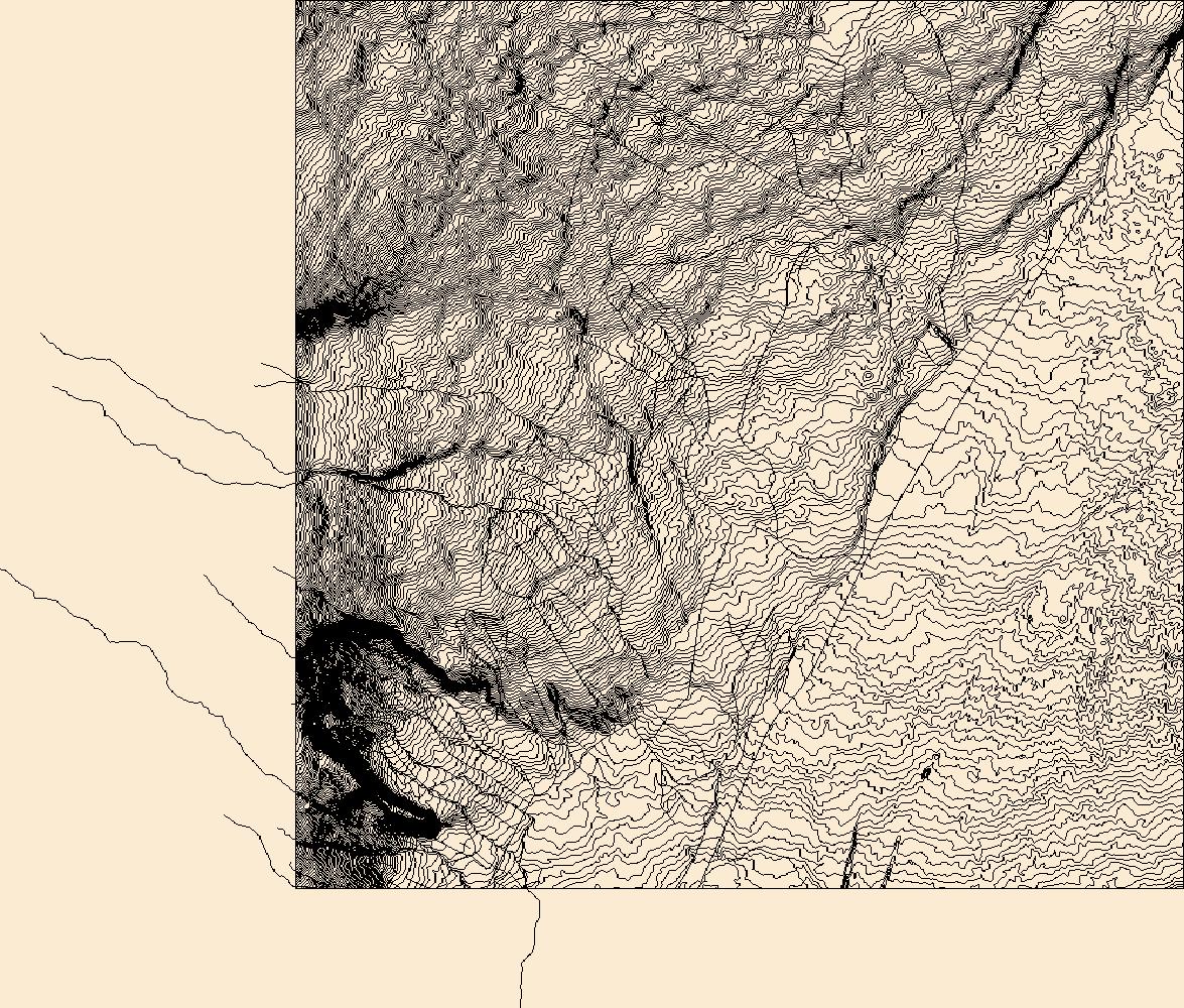
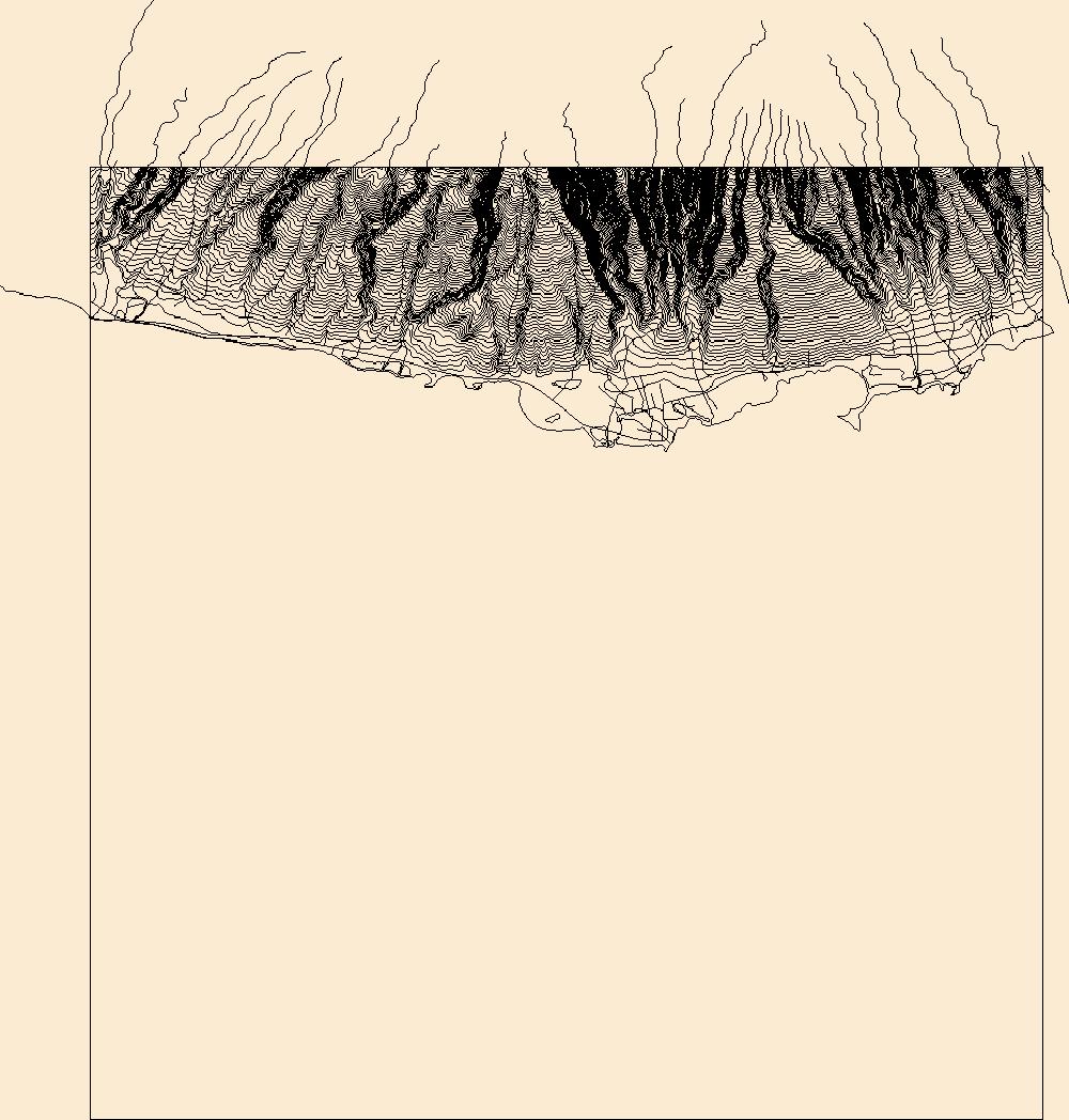
USGS Topo Map Vector Data (Vector) 49729 Wood Valley, Hawaii 20180208 for 7.5 x 7.5 minute Shapefile
Layers of geospatial data include contours, boundaries, land cover, hydrography, roads, transportation, geographic names, structures, and other selected map features.
Layers of geospatial data include contours, boundaries, land cover, hydrography, roads, transportation, geographic names, structures, and other selected map features.
This dataset contains the Digital Elevation Model (DEM) for Australasia from the Hydrologic Derivatives for Modeling and Analysis (HDMA) database. The data were developed and distributed by processing units. There are 11 processing units for Australasia. The distribution files have the number of the processing unit appended to the end of the zip file name (e.g. au_dem_3_2.zip contains the DEM data for unit 3-2). The HDMA database provides comprehensive and consistent global coverage of raster and vector topographically derived layers, including raster layers of digital elevation model (DEM) data, flow direction, flow accumulation, slope, and compound topographic index (CTI); and vector layers of streams and catchment...

"USDA has purchased a Enterprise Premium license for this Orthoimagery dataset from DigitalGlobe, Inc. Any government, education, not-for-profit agency and public/individuals not engaged in using the "Product for Commercial Exploitation or Commercial Purposes" can use this licensed data. Use of this product for Commercial Purposes by a person/company/organization for a profit or fee is strictly prohibited. Please refer to the separately attached license from DigitalGlobe, Inc. for additional information. Digital orthoimagery combines the image characteristics of a digital image with the geometric qualities of a map. The primary dynamic digital orthophoto is a 60 centimeter ground resolution, image cast to the customer...

"USDA has purchased a Enterprise Premium license for this Orthoimagery dataset from DigitalGlobe, Inc. Any government, education, not-for-profit agency and public/individuals not engaged in using the "Product for Commercial Exploitation or Commercial Purposes" can use this licensed data. Use of this product for Commercial Purposes by a person/company/organization for a profit or fee is strictly prohibited. Please refer to the separately attached license from DigitalGlobe, Inc. for additional information. Digital orthoimagery combines the image characteristics of a digital image with the geometric qualities of a map. The primary dynamic digital orthophoto is a 60 centimeter ground resolution, image cast to the customer...

"USDA has purchased a Enterprise Premium license for this Orthoimagery dataset from DigitalGlobe, Inc. Any government, education, not-for-profit agency and public/individuals not engaged in using the "Product for Commercial Exploitation or Commercial Purposes" can use this licensed data. Use of this product for Commercial Purposes by a person/company/organization for a profit or fee is strictly prohibited. Please refer to the separately attached license from DigitalGlobe, Inc. for additional information. Digital orthoimagery combines the image characteristics of a digital image with the geometric qualities of a map. The primary dynamic digital orthophoto is a 60 centimeter ground resolution, image cast to the customer...

"USDA has purchased a Enterprise Premium license for this Orthoimagery dataset from DigitalGlobe, Inc. Any government, education, not-for-profit agency and public/individuals not engaged in using the "Product for Commercial Exploitation or Commercial Purposes" can use this licensed data. Use of this product for Commercial Purposes by a person/company/organization for a profit or fee is strictly prohibited. Please refer to the separately attached license from DigitalGlobe, Inc. for additional information. Digital orthoimagery combines the image characteristics of a digital image with the geometric qualities of a map. The primary dynamic digital orthophoto is a 60 centimeter ground resolution, image cast to the customer...

"USDA has purchased a Enterprise Premium license for this Orthoimagery dataset from DigitalGlobe, Inc. Any government, education, not-for-profit agency and public/individuals not engaged in using the "Product for Commercial Exploitation or Commercial Purposes" can use this licensed data. Use of this product for Commercial Purposes by a person/company/organization for a profit or fee is strictly prohibited. Please refer to the separately attached license from DigitalGlobe, Inc. for additional information. Digital orthoimagery combines the image characteristics of a digital image with the geometric qualities of a map. The primary dynamic digital orthophoto is a 60 centimeter ground resolution, image cast to the customer...

"USDA has purchased a Enterprise Premium license for this Orthoimagery dataset from DigitalGlobe, Inc. Any government, education, not-for-profit agency and public/individuals not engaged in using the "Product for Commercial Exploitation or Commercial Purposes" can use this licensed data. Use of this product for Commercial Purposes by a person/company/organization for a profit or fee is strictly prohibited. Please refer to the separately attached license from DigitalGlobe, Inc. for additional information. Digital orthoimagery combines the image characteristics of a digital image with the geometric qualities of a map. The primary dynamic digital orthophoto is a 60 centimeter ground resolution, image cast to the customer...

This map layer consists of federally owned or administered lands of the United States, Puerto Rico, and the U.S. Virgin Islands. For the most part, only areas of 320 acres or more are included; some smaller areas deemed to be important or significant are also included. There may be private inholdings within the boundaries of Federal lands in this map layer. Some established Federal lands which are larger than 320 acres are not included in this map layer, because their boundaries were not available from the owning or administering agency.

"USDA has purchased a Enterprise Premium license for this Orthoimagery dataset from DigitalGlobe, Inc. Any government, education, not-for-profit agency and public/individuals not engaged in using the "Product for Commercial Exploitation or Commercial Purposes" can use this licensed data. Use of this product for Commercial Purposes by a person/company/organization for a profit or fee is strictly prohibited. Please refer to the separately attached license from DigitalGlobe, Inc. for additional information. Digital orthoimagery combines the image characteristics of a digital image with the geometric qualities of a map. The primary dynamic digital orthophoto is a 60 centimeter ground resolution, image cast to the customer...

"USDA has purchased a Enterprise Premium license for this Orthoimagery dataset from DigitalGlobe, Inc. Any government, education, not-for-profit agency and public/individuals not engaged in using the "Product for Commercial Exploitation or Commercial Purposes" can use this licensed data. Use of this product for Commercial Purposes by a person/company/organization for a profit or fee is strictly prohibited. Please refer to the separately attached license from DigitalGlobe, Inc. for additional information. Digital orthoimagery combines the image characteristics of a digital image with the geometric qualities of a map. The primary dynamic digital orthophoto is a 60 centimeter ground resolution, image cast to the customer...

"USDA has purchased a Enterprise Premium license for this Orthoimagery dataset from DigitalGlobe, Inc. Any government, education, not-for-profit agency and public/individuals not engaged in using the "Product for Commercial Exploitation or Commercial Purposes" can use this licensed data. Use of this product for Commercial Purposes by a person/company/organization for a profit or fee is strictly prohibited. Please refer to the separately attached license from DigitalGlobe, Inc. for additional information. Digital orthoimagery combines the image characteristics of a digital image with the geometric qualities of a map. The primary dynamic digital orthophoto is a 60 centimeter ground resolution, image cast to the customer...

"USDA has purchased a Enterprise Premium license for this Orthoimagery dataset from DigitalGlobe, Inc. Any government, education, not-for-profit agency and public/individuals not engaged in using the "Product for Commercial Exploitation or Commercial Purposes" can use this licensed data. Use of this product for Commercial Purposes by a person/company/organization for a profit or fee is strictly prohibited. Please refer to the separately attached license from DigitalGlobe, Inc. for additional information. Digital orthoimagery combines the image characteristics of a digital image with the geometric qualities of a map. The primary dynamic digital orthophoto is a 60 centimeter ground resolution, image cast to the customer...

"USDA has purchased a Enterprise Premium license for this Orthoimagery dataset from DigitalGlobe, Inc. Any government, education, not-for-profit agency and public/individuals not engaged in using the "Product for Commercial Exploitation or Commercial Purposes" can use this licensed data. Use of this product for Commercial Purposes by a person/company/organization for a profit or fee is strictly prohibited. Please refer to the separately attached license from DigitalGlobe, Inc. for additional information. Digital orthoimagery combines the image characteristics of a digital image with the geometric qualities of a map. The primary dynamic digital orthophoto is a 60 centimeter ground resolution, image cast to the customer...
|

|
