Filters
Date Types (for Date Range)
Contacts
Tag Types
Tag Schemes
|
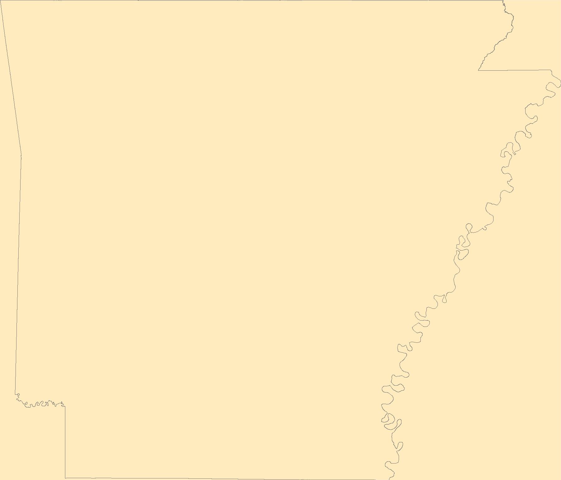
The Geographic Names Information System (GNIS) is the Federal standard for geographic nomenclature. The U.S. Geological Survey developed the GNIS for the U.S. Board on Geographic Names, a Federal inter-agency body chartered by public law to maintain uniform feature name usage throughout the Government and to promulgate standard names to the public. The GNIS is the official repository of domestic geographic names data; the official vehicle for geographic names use by all departments of the Federal Government; and the source for applying geographic names to Federal electronic and printed products of all types.
Tags: AR,
Antarctica,
Antarctica,
Arkansas,
Arkansas, All tags...
Ashley,
BGN,
Baxter,
Benton,
Board on Geographic Names,
Boone,
Borough,
Bradley,
Calhoun,
Carroll,
Census Area,
Chicot,
Clark,
Clay,
Cleburne,
Cleveland,
Columbia,
Commonwealth,
Conway,
County,
Craighead,
Crawford,
Crittenden,
Cross,
Dallas,
Desha,
District,
Downloadable Data,
Drew,
Faulkner,
Feature class,
Feature coordinates,
Feature county,
Feature description,
Feature designation,
Feature history,
Feature indentification,
Feature name,
Feature state,
Franklin,
Fulton,
GNIS,
Garland,
Geographic Names,
Geographic Names Domestic Names,
Geographic Names Information System,
Geographic feature,
Geographic name,
Geographical feature,
Geographical name,
Grant,
Greene,
Hempstead,
Hot Spring,
Howard,
Independence,
Izard,
Jackson,
Jefferson,
Johnson,
Lafayette,
Lawrence,
Lee,
Lincoln,
Little River,
Logan,
Lonoke,
Madison,
Marion,
Miller,
Mississippi,
Monroe,
Montgomery,
Municipio,
National Geographic Names Information System (GNIS),
National Geographic Names Information System (GNIS),
Nevada,
Newton,
Official feature name,
Ouachita,
Outlying Area,
Parish,
Perry,
Phillips,
Pike,
Place name,
Poinsett,
Polk,
Pope,
Populated Place,
Prairie,
Pulaski,
Randolph,
Saline,
Scott,
Searcy,
Sebastian,
Sevier,
Sharp,
St. Francis,
State,
Stone,
TXT (pipes),
Territories,
Territory,
Topographic Map,
U.S. Board on Geographic Names,
U.S. Geological Survey,
US,
USA,
USBGN,
USGS,
UTF-8 Pipe Delimited Text File nan,
Union,
United States,
United States,
United States,
Van Buren,
Variant name,
Washington,
White,
Woodruff,
Yell,
antarctic,
database,
economy,
environment,
feature,
gazetteer,
geographic,
geographic names,
geographical,
geography,
geospatial,
imageryBaseMapsEarthCover,
inlandWaters,
location,
map,
name,
place,
placename,
society,
structure,
topographic map,
toponymy, Fewer tags
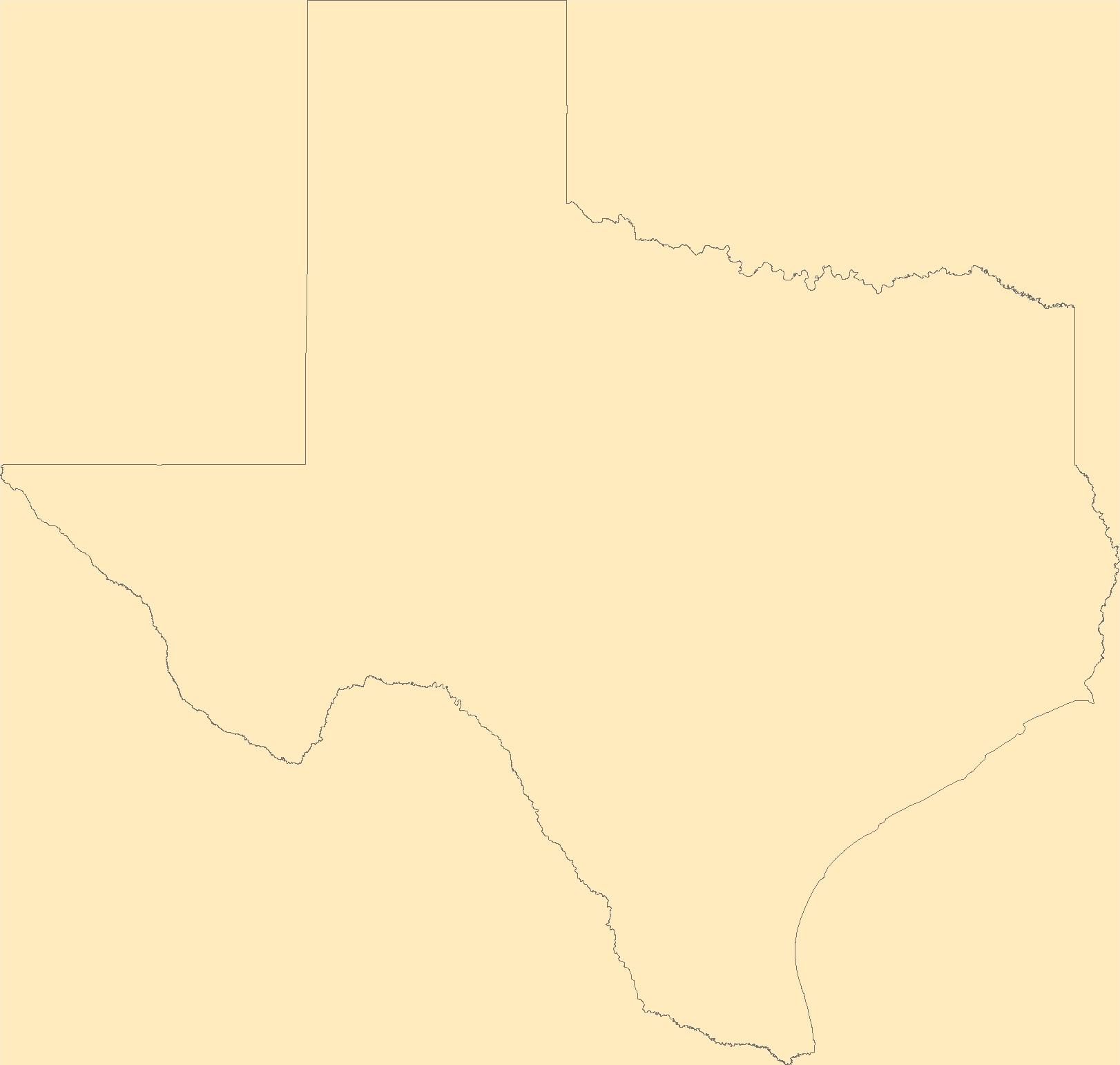
The Geographic Names Information System (GNIS) is the Federal standard for geographic nomenclature. The U.S. Geological Survey developed the GNIS for the U.S. Board on Geographic Names, a Federal inter-agency body chartered by public law to maintain uniform feature name usage throughout the Government and to promulgate standard names to the public. The GNIS is the official repository of domestic geographic names data; the official vehicle for geographic names use by all departments of the Federal Government; and the source for applying geographic names to Federal electronic and printed products of all types.
Tags: Anderson,
Andrews,
Angelina,
Antarctica,
Antarctica, All tags...
Aransas,
Archer,
Armstrong,
Atascosa,
Austin,
BGN,
Bailey,
Bandera,
Bastrop,
Baylor,
Bee,
Bell,
Bexar,
Blanco,
Board on Geographic Names,
Borden,
Borough,
Bosque,
Bowie,
Brazoria,
Brazos,
Brewster,
Briscoe,
Brooks,
Brown,
Burleson,
Burnet,
Caldwell,
Calhoun,
Callahan,
Cameron,
Camp,
Carson,
Cass,
Castro,
Census Area,
Chambers,
Cherokee,
Childress,
Clay,
Cochran,
Coke,
Coleman,
Collin,
Collingsworth,
Colorado,
Comal,
Comanche,
Commonwealth,
Concho,
Cooke,
Coryell,
Cottle,
County,
Crane,
Crockett,
Crosby,
Culberson,
Dallam,
Dallas,
Dawson,
DeWitt,
Deaf Smith,
Delta,
Denton,
Dickens,
Dimmit,
District,
Donley,
Downloadable Data,
Duval,
Eastland,
Ector,
Edwards,
El Paso,
Ellis,
Erath,
Falls,
Fannin,
Fayette,
Feature class,
Feature coordinates,
Feature county,
Feature description,
Feature designation,
Feature history,
Feature indentification,
Feature name,
Feature state,
Fisher,
Floyd,
Foard,
Fort Bend,
Franklin,
Freestone,
Frio,
GNIS,
Gaines,
Galveston,
Garza,
Geographic Names,
Geographic Names Domestic Names,
Geographic Names Information System,
Geographic feature,
Geographic name,
Geographical feature,
Geographical name,
Gillespie,
Glasscock,
Goliad,
Gonzales,
Gray,
Grayson,
Gregg,
Grimes,
Guadalupe,
Hale,
Hall,
Hamilton,
Hansford,
Hardeman,
Hardin,
Harris,
Harrison,
Hartley,
Haskell,
Hays,
Hemphill,
Henderson,
Hidalgo,
Hill,
Hockley,
Hood,
Hopkins,
Houston,
Howard,
Hudspeth,
Hunt,
Hutchinson,
Irion,
Jack,
Jackson,
Jasper,
Jeff Davis,
Jefferson,
Jim Hogg,
Jim Wells,
Johnson,
Jones,
Karnes,
Kaufman,
Kendall,
Kenedy,
Kent,
Kerr,
Kimble,
King,
Kinney,
Kleberg,
Knox,
La Salle,
Lamar,
Lamb,
Lampasas,
Lavaca,
Lee,
Leon,
Liberty,
Limestone,
Lipscomb,
Live Oak,
Llano,
Loving,
Lubbock,
Lynn,
Madison,
Marion,
Martin,
Mason,
Matagorda,
Maverick,
McCulloch,
McLennan,
McMullen,
Medina,
Menard,
Midland,
Milam,
Mills,
Mitchell,
Montague,
Montgomery,
Moore,
Morris,
Motley,
Municipio,
Nacogdoches,
National Geographic Names Information System (GNIS),
National Geographic Names Information System (GNIS),
Navarro,
Newton,
Nolan,
Nueces,
Ochiltree,
Official feature name,
Oldham,
Orange,
Outlying Area,
Palo Pinto,
Panola,
Parish,
Parker,
Parmer,
Pecos,
Place name,
Polk,
Populated Place,
Potter,
Presidio,
Rains,
Randall,
Reagan,
Real,
Red River,
Reeves,
Refugio,
Roberts,
Robertson,
Rockwall,
Runnels,
Rusk,
Sabine,
San Augustine,
San Jacinto,
San Patricio,
San Saba,
Schleicher,
Scurry,
Shackelford,
Shelby,
Sherman,
Smith,
Somervell,
Starr,
State,
Stephens,
Sterling,
Stonewall,
Sutton,
Swisher,
TX,
TXT (pipes),
Tarrant,
Taylor,
Terrell,
Territories,
Territory,
Terry,
Texas,
Throckmorton,
Titus,
Tom Green,
Topographic Map,
Travis,
Trinity,
Tyler,
U.S. Board on Geographic Names,
U.S. Geological Survey,
US,
USA,
USBGN,
USGS,
UTF-8 Pipe Delimited Text File nan,
United States,
United States,
United States,
Upshur,
Upton,
Uvalde,
Val Verde,
Van Zandt,
Variant name,
Victoria,
Walker,
Waller,
Ward,
Washington,
Webb,
Wharton,
Wheeler,
Wichita,
Wilbarger,
Willacy,
Williamson,
Wilson,
Winkler,
Wise,
Wood,
Yoakum,
Young,
Zapata,
Zavala,
antarctic,
database,
economy,
environment,
feature,
gazetteer,
geographic,
geographic names,
geographical,
geography,
geospatial,
imageryBaseMapsEarthCover,
inlandWaters,
location,
map,
name,
place,
placename,
society,
structure,
topographic map,
toponymy, Fewer tags
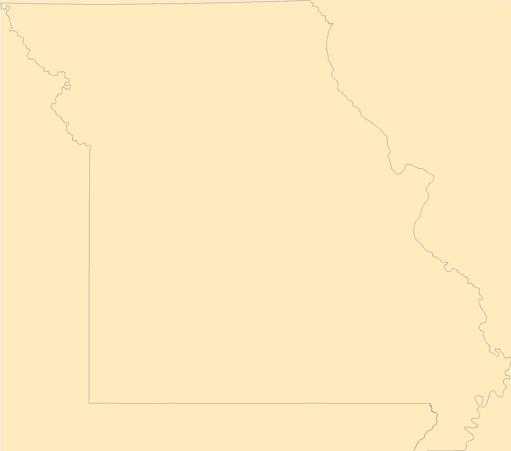
The Geographic Names Information System (GNIS) is the Federal standard for geographic nomenclature. The U.S. Geological Survey developed the GNIS for the U.S. Board on Geographic Names, a Federal inter-agency body chartered by public law to maintain uniform feature name usage throughout the Government and to promulgate standard names to the public. The GNIS is the official repository of domestic geographic names data; the official vehicle for geographic names use by all departments of the Federal Government; and the source for applying geographic names to Federal electronic and printed products of all types.
Tags: Adair,
Adams,
Allamakee,
Antarctica,
Antarctica, All tags...
Appanoose,
Audubon,
BGN,
Benton,
Black Hawk,
Board on Geographic Names,
Boone,
Borough,
Bremer,
Buchanan,
Buena Vista,
Butler,
Calhoun,
Carroll,
Cass,
Cedar,
Census Area,
Cerro Gordo,
Cherokee,
Chickasaw,
Clarke,
Clay,
Clayton,
Clinton,
Commonwealth,
County,
Crawford,
Dallas,
Davis,
Decatur,
Delaware,
Des Moines,
Dickinson,
District,
Downloadable Data,
Dubuque,
Emmet,
Fayette,
Feature class,
Feature coordinates,
Feature county,
Feature description,
Feature designation,
Feature history,
Feature indentification,
Feature name,
Feature state,
Floyd,
Franklin,
Fremont,
GNIS,
Geographic Names,
Geographic Names Domestic Names,
Geographic Names Information System,
Geographic feature,
Geographic name,
Geographical feature,
Geographical name,
Greene,
Grundy,
Guthrie,
Hamilton,
Hancock,
Hardin,
Harrison,
Henry,
Howard,
Humboldt,
IA,
Ida,
Iowa,
Iowa,
Jackson,
Jasper,
Jefferson,
Johnson,
Jones,
Keokuk,
Kossuth,
Lee,
Linn,
Louisa,
Lucas,
Lyon,
Madison,
Mahaska,
Marion,
Marshall,
Mills,
Mitchell,
Monona,
Monroe,
Montgomery,
Municipio,
Muscatine,
National Geographic Names Information System (GNIS),
National Geographic Names Information System (GNIS),
O'Brien,
Official feature name,
Osceola,
Outlying Area,
Page,
Palo Alto,
Parish,
Place name,
Plymouth,
Pocahontas,
Polk,
Populated Place,
Pottawattamie,
Poweshiek,
Ringgold,
Sac,
Scott,
Shelby,
Sioux,
State,
Story,
TXT (pipes),
Tama,
Taylor,
Territories,
Territory,
Topographic Map,
U.S. Board on Geographic Names,
U.S. Geological Survey,
US,
USA,
USBGN,
USGS,
UTF-8 Pipe Delimited Text File nan,
Union,
United States,
United States,
United States,
Van Buren,
Variant name,
Wapello,
Warren,
Washington,
Wayne,
Webster,
Winnebago,
Winneshiek,
Woodbury,
Worth,
Wright,
antarctic,
database,
economy,
environment,
feature,
gazetteer,
geographic,
geographic names,
geographical,
geography,
geospatial,
imageryBaseMapsEarthCover,
inlandWaters,
location,
map,
name,
place,
placename,
society,
structure,
topographic map,
toponymy, Fewer tags
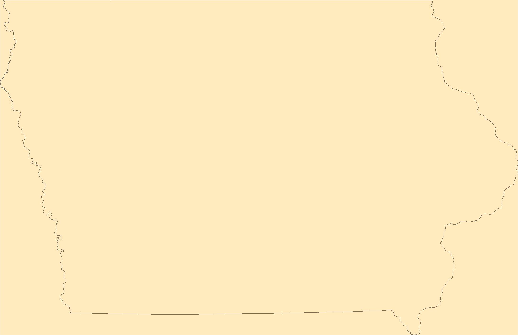
The Geographic Names Information System (GNIS) is the Federal standard for geographic nomenclature. The U.S. Geological Survey developed the GNIS for the U.S. Board on Geographic Names, a Federal inter-agency body chartered by public law to maintain uniform feature name usage throughout the Government and to promulgate standard names to the public. The GNIS is the official repository of domestic geographic names data; the official vehicle for geographic names use by all departments of the Federal Government; and the source for applying geographic names to Federal electronic and printed products of all types.
Tags: Adair,
Andrew,
Antarctica,
Antarctica,
Atchison, All tags...
Audrain,
BGN,
Barry,
Barton,
Bates,
Benton,
Board on Geographic Names,
Bollinger,
Boone,
Borough,
Buchanan,
Butler,
Caldwell,
Callaway,
Camden,
Cape Girardeau,
Carroll,
Carter,
Cass,
Cedar,
Census Area,
Chariton,
Christian,
Clark,
Clay,
Clinton,
Cole,
Commonwealth,
Cooper,
County,
Crawford,
Dade,
Dallas,
Daviess,
DeKalb,
Dent,
District,
Douglas,
Downloadable Data,
Dunklin,
Feature class,
Feature coordinates,
Feature county,
Feature description,
Feature designation,
Feature history,
Feature indentification,
Feature name,
Feature state,
Franklin,
GNIS,
Gasconade,
Gentry,
Geographic Names,
Geographic Names Domestic Names,
Geographic Names Information System,
Geographic feature,
Geographic name,
Geographical feature,
Geographical name,
Greene,
Grundy,
Harrison,
Henry,
Hickory,
Holt,
Howard,
Howell,
Iron,
Jackson,
Jasper,
Jefferson,
Johnson,
Knox,
Laclede,
Lafayette,
Lawrence,
Lewis,
Lincoln,
Linn,
Livingston,
MO,
Macon,
Madison,
Maries,
Marion,
McDonald,
Mercer,
Miller,
Mississippi,
Missouri,
Moniteau,
Monroe,
Montgomery,
Morgan,
Municipio,
National Geographic Names Information System (GNIS),
National Geographic Names Information System (GNIS),
New Madrid,
Newton,
Nodaway,
Official feature name,
Oregon,
Osage,
Outlying Area,
Ozark,
Parish,
Pemiscot,
Perry,
Pettis,
Phelps,
Pike,
Place name,
Platte,
Polk,
Populated Place,
Pulaski,
Putnam,
Ralls,
Randolph,
Ray,
Reynolds,
Ripley,
Saline,
Schuyler,
Scotland,
Scott,
Shannon,
Shelby,
St. Charles,
St. Clair,
St. Francois,
St. Louis,
State,
Ste. Genevieve,
Stoddard,
Stone,
Sullivan,
TXT (pipes),
Taney,
Territories,
Territory,
Texas,
Topographic Map,
U.S. Board on Geographic Names,
U.S. Geological Survey,
US,
USA,
USBGN,
USGS,
UTF-8 Pipe Delimited Text File nan,
United States,
United States,
United States,
Variant name,
Vernon,
Warren,
Washington,
Wayne,
Webster,
Worth,
Wright,
antarctic,
database,
economy,
environment,
feature,
gazetteer,
geographic,
geographic names,
geographical,
geography,
geospatial,
imageryBaseMapsEarthCover,
inlandWaters,
location,
map,
name,
place,
placename,
society,
structure,
topographic map,
toponymy, Fewer tags
The Geographic Names Information System (GNIS) is the Federal standard for geographic nomenclature. The U.S. Geological Survey developed the GNIS for the U.S. Board on Geographic Names, a Federal inter-agency body chartered by public law to maintain uniform feature name usage throughout the Government and to promulgate standard names to the public. The GNIS is the official repository of domestic geographic names data; the official vehicle for geographic names use by all departments of the Federal Government; and the source for applying geographic names to Federal electronic and printed products of all types.
Tags: Adams,
Allen,
Antarctica,
Antarctica,
BGN, All tags...
Bartholomew,
Benton,
Blackford,
Board on Geographic Names,
Boone,
Borough,
Brown,
Carroll,
Cass,
Census Area,
Clark,
Clay,
Clinton,
Commonwealth,
County,
Crawford,
Daviess,
DeKalb,
Dearborn,
Decatur,
Delaware,
District,
Downloadable Data,
Dubois,
Elkhart,
Fayette,
Feature class,
Feature coordinates,
Feature county,
Feature description,
Feature designation,
Feature history,
Feature indentification,
Feature name,
Feature state,
Floyd,
Fountain,
Franklin,
Fulton,
GNIS,
Geographic Names,
Geographic Names Domestic Names,
Geographic Names Information System,
Geographic feature,
Geographic name,
Geographical feature,
Geographical name,
Gibson,
Grant,
Greene,
Hamilton,
Hancock,
Harrison,
Hendricks,
Henry,
Howard,
Huntington,
IN,
Indiana,
Jackson,
Jasper,
Jay,
Jefferson,
Jennings,
Johnson,
Knox,
Kosciusko,
LaGrange,
LaPorte,
Lake,
Lawrence,
Madison,
Marion,
Marshall,
Martin,
Miami,
Monroe,
Montgomery,
Morgan,
Municipio,
National Geographic Names Information System (GNIS),
National Geographic Names Information System (GNIS),
Newton,
Noble,
Official feature name,
Ohio,
Orange,
Outlying Area,
Owen,
Parish,
Parke,
Perry,
Pike,
Place name,
Populated Place,
Porter,
Posey,
Pulaski,
Putnam,
Randolph,
Ripley,
Rush,
Scott,
Shelby,
Spencer,
St. Joseph,
Starke,
State,
Steuben,
Sullivan,
Switzerland,
TXT (pipes),
Territories,
Territory,
Tippecanoe,
Tipton,
Topographic Map,
U.S. Board on Geographic Names,
U.S. Geological Survey,
US,
USA,
USBGN,
USGS,
UTF-8 Pipe Delimited Text File nan,
Union,
United States,
United States,
United States,
Vanderburgh,
Variant name,
Vermillion,
Vigo,
Wabash,
Warren,
Warrick,
Washington,
Wayne,
Wells,
White,
Whitley,
antarctic,
database,
economy,
environment,
feature,
gazetteer,
geographic,
geographic names,
geographical,
geography,
geospatial,
imageryBaseMapsEarthCover,
inlandWaters,
location,
map,
name,
place,
placename,
society,
structure,
topographic map,
toponymy, Fewer tags
The Geographic Names Information System (GNIS) is the Federal standard for geographic nomenclature. The U.S. Geological Survey developed the GNIS for the U.S. Board on Geographic Names, a Federal inter-agency body chartered by public law to maintain uniform feature name usage throughout the Government and to promulgate standard names to the public. The GNIS is the official repository of domestic geographic names data; the official vehicle for geographic names use by all departments of the Federal Government; and the source for applying geographic names to Federal electronic and printed products of all types.
Tags: Adams,
Antarctica,
Antarctica,
Antelope,
Arthur, All tags...
BGN,
Banner,
Blaine,
Board on Geographic Names,
Boone,
Borough,
Box Butte,
Boyd,
Brown,
Buffalo,
Burt,
Butler,
Cass,
Cedar,
Census Area,
Chase,
Cherry,
Cheyenne,
Clay,
Colfax,
Commonwealth,
County,
Cuming,
Custer,
Dakota,
Dawes,
Dawson,
Deuel,
District,
Dixon,
Dodge,
Douglas,
Downloadable Data,
Dundy,
Feature class,
Feature coordinates,
Feature county,
Feature description,
Feature designation,
Feature history,
Feature indentification,
Feature name,
Feature state,
Fillmore,
Franklin,
Frontier,
Furnas,
GNIS,
Gage,
Garden,
Garfield,
Geographic Names,
Geographic Names Domestic Names,
Geographic Names Information System,
Geographic feature,
Geographic name,
Geographical feature,
Geographical name,
Gosper,
Grant,
Greeley,
Hall,
Hamilton,
Harlan,
Hayes,
Hitchcock,
Holt,
Hooker,
Howard,
Jefferson,
Johnson,
Kearney,
Keith,
Keya Paha,
Kimball,
Knox,
Lancaster,
Lincoln,
Logan,
Loup,
Madison,
McPherson,
Merrick,
Morrill,
Municipio,
NE,
Nance,
National Geographic Names Information System (GNIS),
National Geographic Names Information System (GNIS),
Nebraska,
Nemaha,
Nuckolls,
Official feature name,
Otoe,
Outlying Area,
Parish,
Pawnee,
Perkins,
Phelps,
Pierce,
Place name,
Platte,
Polk,
Populated Place,
Red Willow,
Richardson,
Rock,
Saline,
Sarpy,
Saunders,
Scotts Bluff,
Seward,
Sheridan,
Sherman,
Sioux,
Stanton,
State,
TXT (pipes),
Territories,
Territory,
Thayer,
Thomas,
Thurston,
Topographic Map,
U.S. Board on Geographic Names,
U.S. Geological Survey,
US,
USA,
USBGN,
USGS,
UTF-8 Pipe Delimited Text File nan,
United States,
United States,
United States,
Valley,
Variant name,
Washington,
Wayne,
Webster,
Wheeler,
York,
antarctic,
database,
economy,
environment,
feature,
gazetteer,
geographic,
geographic names,
geographical,
geography,
geospatial,
imageryBaseMapsEarthCover,
inlandWaters,
location,
map,
name,
place,
placename,
society,
structure,
topographic map,
toponymy, Fewer tags

The Geographic Names Information System (GNIS) is the Federal standard for geographic nomenclature. The U.S. Geological Survey developed the GNIS for the U.S. Board on Geographic Names, a Federal inter-agency body chartered by public law to maintain uniform feature name usage throughout the Government and to promulgate standard names to the public. The GNIS is the official repository of domestic geographic names data; the official vehicle for geographic names use by all departments of the Federal Government; and the source for applying geographic names to Federal electronic and printed products of all types.
Tags: Allegany,
Anne Arundel,
Antarctica,
Antarctica,
BGN, All tags...
Baltimore,
Board on Geographic Names,
Borough,
Calvert,
Caroline,
Carroll,
Cecil,
Census Area,
Charles,
Commonwealth,
County,
District,
Dorchester,
Downloadable Data,
Feature class,
Feature coordinates,
Feature county,
Feature description,
Feature designation,
Feature history,
Feature indentification,
Feature name,
Feature state,
Frederick,
GNIS,
Garrett,
Geographic Names,
Geographic Names Domestic Names,
Geographic Names Information System,
Geographic feature,
Geographic name,
Geographical feature,
Geographical name,
Harford,
Howard,
Kent,
MD,
Maryland,
Montgomery,
Municipio,
National Geographic Names Information System (GNIS),
National Geographic Names Information System (GNIS),
Official feature name,
Outlying Area,
Parish,
Place name,
Populated Place,
Prince George's,
Queen Anne's,
Somerset,
St. Mary's,
State,
TXT (pipes),
Talbot,
Territories,
Territory,
Topographic Map,
U.S. Board on Geographic Names,
U.S. Geological Survey,
US,
USA,
USBGN,
USGS,
UTF-8 Pipe Delimited Text File nan,
United States,
United States,
United States,
Variant name,
Washington,
Wicomico,
Worcester,
antarctic,
database,
economy,
environment,
feature,
gazetteer,
geographic,
geographic names,
geographical,
geography,
geospatial,
imageryBaseMapsEarthCover,
inlandWaters,
location,
map,
name,
place,
placename,
society,
structure,
topographic map,
toponymy, Fewer tags
|
|

