Filters: Tags: IVANPAH (X)
80 results (35ms)|
Filters
Date Range
Extensions Types Contacts
Categories Tag Types Tag Schemes |
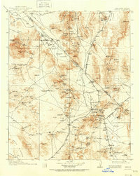
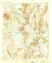
USGS Historical Quadrangle in GeoPDF.
USGS Historical Quadrangle in GeoPDF.
This dataset consists of 65 magnetotelluric (MT) stations collected in 2015 near Mountain Pass, California. The U.S. Geological Survey acquired these data to create a regional conductivity model near the Mountain Pass mine. This work is in support of characterizing mineral deposits.
This dataset consists of 65 magnetotelluric (MT) stations collected in 2015 near Mountain Pass, California. The U.S. Geological Survey acquired these data to create a regional conductivity model near the Mountain Pass mine. This work is in support of characterizing mineral deposits.
This dataset consists of 65 magnetotelluric (MT) stations collected in 2015 near Mountain Pass, California. The U.S. Geological Survey acquired these data to create a regional conductivity model near the Mountain Pass mine. This work is in support of characterizing mineral deposits.
This dataset consists of 65 magnetotelluric (MT) stations collected in 2015 near Mountain Pass, California. The U.S. Geological Survey acquired these data to create a regional conductivity model near the Mountain Pass mine. This work is in support of characterizing mineral deposits.
This dataset consists of 65 magnetotelluric (MT) stations collected in 2015 near Mountain Pass, California. The U.S. Geological Survey acquired these data to create a regional conductivity model near the Mountain Pass mine. This work is in support of characterizing mineral deposits.
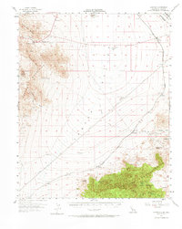
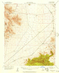
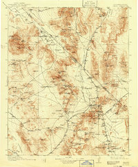
USGS Historical Quadrangle in GeoPDF.
This dataset consists of 65 magnetotelluric (MT) stations collected in 2015 near Mountain Pass, California. The U.S. Geological Survey acquired these data to create a regional conductivity model near the Mountain Pass mine. This work is in support of characterizing mineral deposits.
This dataset consists of 65 magnetotelluric (MT) stations collected in 2015 near Mountain Pass, California. The U.S. Geological Survey acquired these data to create a regional conductivity model near the Mountain Pass mine. This work is in support of characterizing mineral deposits.
This dataset consists of 65 magnetotelluric (MT) stations collected in 2015 near Mountain Pass, California. The U.S. Geological Survey acquired these data to create a regional conductivity model near the Mountain Pass mine. This work is in support of characterizing mineral deposits.
This dataset consists of 65 magnetotelluric (MT) stations collected in 2015 near Mountain Pass, California. The U.S. Geological Survey acquired these data to create a regional conductivity model near the Mountain Pass mine. This work is in support of characterizing mineral deposits.
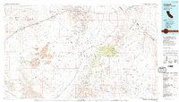
USGS Historical Quadrangle in GeoPDF.
USGS Historical Quadrangle in GeoPDF.
|

|
