Filters
Date Range
Contacts
Tag Types
Tag Schemes
|

Geospatial data is comprised of government boundaries.
Types: Citation;
Tags: Adams,
Allen,
Bartholomew,
Benton,
Blackford, All tags...
Boone,
Boundaries,
Brown,
Carroll,
Cass,
Clark,
Clay,
Clinton,
County or Equivalent,
Crawford,
Daviess,
DeKalb,
Dearborn,
Decatur,
Delaware,
Downloadable Data,
Dubois,
Elkhart,
Esri File GeoDatabase 10,
Fayette,
FileGDB,
Floyd,
Fountain,
Franklin,
Fulton,
Gibson,
Grant,
Greene,
Hamilton,
Hancock,
Harrison,
Hendricks,
Henry,
Howard,
Huntington,
IN,
Incorporated Place,
Indiana,
Jackson,
Jasper,
Jay,
Jefferson,
Jennings,
Johnson,
Jurisdictional,
Knox,
Kosciusko,
LaGrange,
LaPorte,
Lake,
Lawrence,
Madison,
Marion,
Marshall,
Martin,
Miami,
Minor Civil Division,
Monroe,
Montgomery,
Morgan,
National Boundary Dataset (NBD),
National Boundary Dataset (NBD),
Native American Area,
Newton,
Noble,
Ohio,
Orange,
Owen,
PLSS First Division,
PLSS Special Survey,
PLSS Township,
Parke,
Perry,
Pike,
Porter,
Posey,
Public Land Survey System,
Pulaski,
Putnam,
Randolph,
Reserve,
Ripley,
Rush,
Scott,
Shelby,
Spencer,
St. Joseph,
Starke,
State,
State,
State or Territory,
Steuben,
Sullivan,
Switzerland,
Tippecanoe,
Tipton,
U.S. National Grid,
US,
Unincorporated Place,
Union,
United States,
Vanderburgh,
Vermillion,
Vigo,
Wabash,
Warren,
Warrick,
Washington,
Wayne,
Wells,
White,
Whitley,
boundaries,
boundary,
cadastral surveys,
geographic names,
land ownership,
land use maps,
legal land descriptions,
political and administrative boundaries,
zoning maps, Fewer tags

Geospatial data is comprised of government boundaries.
Types: Citation;
Tags: Adams,
Allen,
Ashland,
Ashtabula,
Athens, All tags...
Auglaize,
Belmont,
Boundaries,
Brown,
Butler,
Carroll,
Champaign,
Clark,
Clermont,
Clinton,
Columbiana,
Coshocton,
County or Equivalent,
Crawford,
Cuyahoga,
Darke,
Defiance,
Delaware,
Downloadable Data,
Erie,
Esri File GeoDatabase 10,
Fairfield,
Fayette,
FileGDB,
Franklin,
Fulton,
Gallia,
Geauga,
Greene,
Guernsey,
Hamilton,
Hancock,
Hardin,
Harrison,
Henry,
Highland,
Hocking,
Holmes,
Huron,
Incorporated Place,
Jackson,
Jefferson,
Jurisdictional,
Knox,
Lake,
Lawrence,
Licking,
Logan,
Lorain,
Lucas,
Madison,
Mahoning,
Marion,
Medina,
Meigs,
Mercer,
Miami,
Minor Civil Division,
Monroe,
Montgomery,
Morgan,
Morrow,
Muskingum,
National Boundary Dataset (NBD),
National Boundary Dataset (NBD),
Native American Area,
Noble,
OH,
Ohio,
Ottawa,
PLSS First Division,
PLSS Special Survey,
PLSS Township,
Paulding,
Perry,
Pickaway,
Pike,
Portage,
Preble,
Public Land Survey System,
Putnam,
Reserve,
Richland,
Ross,
Sandusky,
Scioto,
Seneca,
Shelby,
Stark,
State,
State,
State or Territory,
Summit,
Trumbull,
Tuscarawas,
U.S. National Grid,
US,
Unincorporated Place,
Union,
United States,
Van Wert,
Vinton,
Warren,
Washington,
Wayne,
Williams,
Wood,
Wyandot,
boundaries,
boundary,
cadastral surveys,
geographic names,
land ownership,
land use maps,
legal land descriptions,
political and administrative boundaries,
zoning maps, Fewer tags

Geospatial data is comprised of government boundaries.
Types: Citation;
Tags: Alcona,
Alger,
Allegan,
Alpena,
Antrim, All tags...
Arenac,
Baraga,
Barry,
Bay,
Benzie,
Berrien,
Boundaries,
Branch,
Calhoun,
Cass,
Charlevoix,
Cheboygan,
Chippewa,
Clare,
Clinton,
County or Equivalent,
Crawford,
Delta,
Dickinson,
Downloadable Data,
Eaton,
Emmet,
Esri File GeoDatabase 10,
FileGDB,
Genesee,
Gladwin,
Gogebic,
Grand Traverse,
Gratiot,
Hillsdale,
Houghton,
Huron,
Incorporated Place,
Ingham,
Ionia,
Iosco,
Iron,
Isabella,
Jackson,
Jurisdictional,
Kalamazoo,
Kalkaska,
Kent,
Keweenaw,
Lake,
Lapeer,
Leelanau,
Lenawee,
Livingston,
Luce,
MI,
Mackinac,
Macomb,
Manistee,
Marquette,
Mason,
Mecosta,
Menominee,
Michigan,
Midland,
Minor Civil Division,
Missaukee,
Monroe,
Montcalm,
Montmorency,
Muskegon,
National Boundary Dataset (NBD),
National Boundary Dataset (NBD),
Native American Area,
Newaygo,
Oakland,
Oceana,
Ogemaw,
Ontonagon,
Osceola,
Oscoda,
Otsego,
Ottawa,
PLSS First Division,
PLSS Special Survey,
PLSS Township,
Presque Isle,
Public Land Survey System,
Reserve,
Roscommon,
Saginaw,
Sanilac,
Schoolcraft,
Shiawassee,
St. Clair,
St. Joseph,
State,
State,
State or Territory,
Tuscola,
U.S. National Grid,
US,
Unincorporated Place,
United States,
Van Buren,
Washtenaw,
Wayne,
Wexford,
boundaries,
boundary,
cadastral surveys,
geographic names,
land ownership,
land use maps,
legal land descriptions,
political and administrative boundaries,
zoning maps, Fewer tags

Geospatial data is comprised of government boundaries.
Types: Citation;
Tags: Adair,
Alfalfa,
Atoka,
Beaver,
Beckham, All tags...
Blaine,
Boundaries,
Bryan,
Caddo,
Canadian,
Carter,
Cherokee,
Choctaw,
Cimarron,
Cleveland,
Coal,
Comanche,
Cotton,
County or Equivalent,
Craig,
Creek,
Custer,
Delaware,
Dewey,
Downloadable Data,
Ellis,
Esri File GeoDatabase 10,
FileGDB,
Garfield,
Garvin,
Grady,
Grant,
Greer,
Harmon,
Harper,
Haskell,
Hughes,
Incorporated Place,
Jackson,
Jefferson,
Johnston,
Jurisdictional,
Kay,
Kingfisher,
Kiowa,
Latimer,
Le Flore,
Lincoln,
Logan,
Love,
Major,
Marshall,
Mayes,
McClain,
McCurtain,
McIntosh,
Minor Civil Division,
Murray,
Muskogee,
National Boundary Dataset (NBD),
National Boundary Dataset (NBD),
Native American Area,
Noble,
Nowata,
OK,
Okfuskee,
Oklahoma,
Oklahoma,
Okmulgee,
Osage,
Ottawa,
PLSS First Division,
PLSS Special Survey,
PLSS Township,
Pawnee,
Payne,
Pittsburg,
Pontotoc,
Pottawatomie,
Public Land Survey System,
Pushmataha,
Reserve,
Roger Mills,
Rogers,
Seminole,
Sequoyah,
State,
State,
State or Territory,
Stephens,
Texas,
Tillman,
Tulsa,
U.S. National Grid,
US,
Unincorporated Place,
United States,
Wagoner,
Washington,
Washita,
Woods,
Woodward,
boundaries,
boundary,
cadastral surveys,
geographic names,
land ownership,
land use maps,
legal land descriptions,
political and administrative boundaries,
zoning maps, Fewer tags

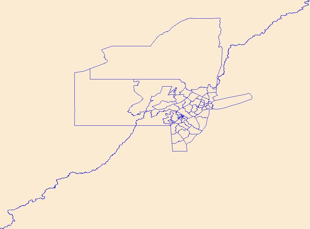
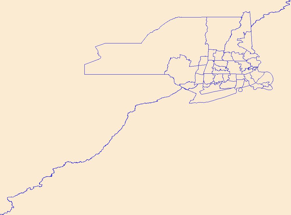
Geospatial data is comprised of government boundaries.
Types: Citation;
Tags: Albany,
Allegany,
Boundaries,
Bronx,
Broome, All tags...
Cattaraugus,
Cayuga,
Chautauqua,
Chemung,
Chenango,
Clinton,
Columbia,
Cortland,
County or Equivalent,
Delaware,
Downloadable Data,
Dutchess,
Erie,
Esri File GeoDatabase 10,
Essex,
FileGDB,
Franklin,
Fulton,
Genesee,
Greene,
Hamilton,
Herkimer,
Incorporated Place,
Jefferson,
Jurisdictional,
Kings,
Lewis,
Livingston,
Madison,
Minor Civil Division,
Monroe,
Montgomery,
NY,
Nassau,
National Boundary Dataset (NBD),
National Boundary Dataset (NBD),
Native American Area,
New York,
New York,
Niagara,
Oneida,
Onondaga,
Ontario,
Orange,
Orleans,
Oswego,
Otsego,
PLSS First Division,
PLSS Special Survey,
PLSS Township,
Public Land Survey System,
Putnam,
Queens,
Rensselaer,
Reserve,
Richmond,
Rockland,
Saratoga,
Schenectady,
Schoharie,
Schuyler,
Seneca,
St. Lawrence,
State,
State,
State or Territory,
Steuben,
Suffolk,
Sullivan,
Tioga,
Tompkins,
U.S. National Grid,
US,
Ulster,
Unincorporated Place,
United States,
Warren,
Washington,
Wayne,
Westchester,
Wyoming,
Yates,
boundaries,
boundary,
cadastral surveys,
geographic names,
land ownership,
land use maps,
legal land descriptions,
political and administrative boundaries,
zoning maps, Fewer tags

Geospatial data is comprised of government boundaries.
Types: Citation;
Tags: AS,
American Samoa,
Boundaries,
County or Equivalent,
Downloadable Data, All tags...
Eastern,
Esri File GeoDatabase 10,
FileGDB,
Incorporated Place,
Jurisdictional,
Manu'a,
Minor Civil Division,
National Boundary Dataset (NBD),
National Boundary Dataset (NBD),
Native American Area,
PLSS First Division,
PLSS Special Survey,
PLSS Township,
Public Land Survey System,
Reserve,
Rose Island,
State,
State,
State or Territory,
Swains Island,
U.S. National Grid,
US,
Unincorporated Place,
United States,
Western,
boundaries,
boundary,
cadastral surveys,
geographic names,
land ownership,
land use maps,
legal land descriptions,
political and administrative boundaries,
zoning maps, Fewer tags

Geospatial data is comprised of government boundaries.
Types: Citation;
Tags: AZ,
Apache,
Arizona,
Boundaries,
Cochise, All tags...
Coconino,
County or Equivalent,
Downloadable Data,
Esri File GeoDatabase 10,
FileGDB,
Gila,
Graham,
Greenlee,
Incorporated Place,
Jurisdictional,
La Paz,
Maricopa,
Minor Civil Division,
Mohave,
National Boundary Dataset (NBD),
National Boundary Dataset (NBD),
Native American Area,
Navajo,
PLSS First Division,
PLSS Special Survey,
PLSS Township,
Pima,
Pinal,
Public Land Survey System,
Reserve,
Santa Cruz,
State,
State,
State or Territory,
U.S. National Grid,
US,
Unincorporated Place,
United States,
Yavapai,
Yuma,
boundaries,
boundary,
cadastral surveys,
geographic names,
land ownership,
land use maps,
legal land descriptions,
political and administrative boundaries,
zoning maps, Fewer tags
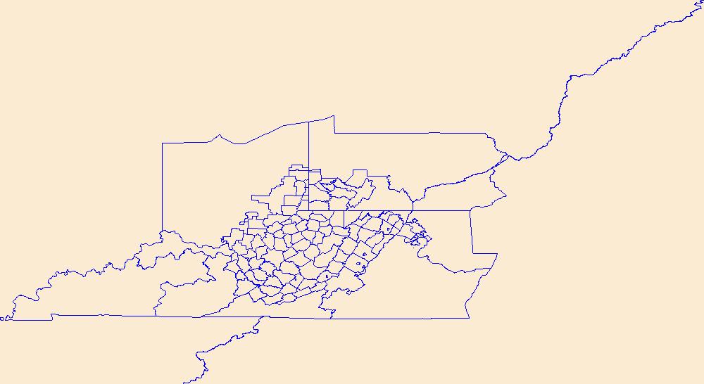
Geospatial data is comprised of government boundaries.
Types: Citation;
Tags: Barbour,
Berkeley,
Boone,
Boundaries,
Braxton, All tags...
Brooke,
Cabell,
Calhoun,
Clay,
County or Equivalent,
Doddridge,
Downloadable Data,
Esri File GeoDatabase 10,
Fayette,
FileGDB,
Gilmer,
Grant,
Greenbrier,
Hampshire,
Hancock,
Hardy,
Harrison,
Incorporated Place,
Jackson,
Jefferson,
Jurisdictional,
Kanawha,
Lewis,
Lincoln,
Logan,
Marion,
Marshall,
Mason,
McDowell,
Mercer,
Mineral,
Mingo,
Minor Civil Division,
Monongalia,
Monroe,
Morgan,
National Boundary Dataset (NBD),
National Boundary Dataset (NBD),
Native American Area,
Nicholas,
Ohio,
PLSS First Division,
PLSS Special Survey,
PLSS Township,
Pendleton,
Pleasants,
Pocahontas,
Preston,
Public Land Survey System,
Putnam,
Raleigh,
Randolph,
Reserve,
Ritchie,
Roane,
State,
State,
State or Territory,
Summers,
Taylor,
Tucker,
Tyler,
U.S. National Grid,
US,
Unincorporated Place,
United States,
Upshur,
WV,
Wayne,
Webster,
West Virginia,
Wetzel,
Wirt,
Wood,
Wyoming,
boundaries,
boundary,
cadastral surveys,
geographic names,
land ownership,
land use maps,
legal land descriptions,
political and administrative boundaries,
zoning maps, Fewer tags
Geospatial data is comprised of government boundaries.
Types: Citation;
Tags: Boundaries,
Bristol,
County or Equivalent,
Downloadable Data,
Esri File GeoDatabase 10, All tags...
FileGDB,
Incorporated Place,
Jurisdictional,
Kent,
Minor Civil Division,
National Boundary Dataset (NBD),
National Boundary Dataset (NBD),
Native American Area,
Newport,
PLSS First Division,
PLSS Special Survey,
PLSS Township,
Providence,
Public Land Survey System,
RI,
Reserve,
Rhode Island,
State,
State,
State or Territory,
U.S. National Grid,
US,
Unincorporated Place,
United States,
Washington,
boundaries,
boundary,
cadastral surveys,
geographic names,
land ownership,
land use maps,
legal land descriptions,
political and administrative boundaries,
zoning maps, Fewer tags
Geospatial data is comprised of government boundaries.
Types: Citation;
Tags: Atlantic,
Bergen,
Boundaries,
Burlington,
Camden, All tags...
Cape May,
County or Equivalent,
Cumberland,
Downloadable Data,
Esri File GeoDatabase 10,
Essex,
FileGDB,
Gloucester,
Hudson,
Hunterdon,
Incorporated Place,
Jurisdictional,
Mercer,
Middlesex,
Minor Civil Division,
Monmouth,
Morris,
NJ,
National Boundary Dataset (NBD),
National Boundary Dataset (NBD),
Native American Area,
New Jersey,
Ocean,
PLSS First Division,
PLSS Special Survey,
PLSS Township,
Passaic,
Public Land Survey System,
Reserve,
Salem,
Somerset,
State,
State,
State or Territory,
Sussex,
U.S. National Grid,
US,
Unincorporated Place,
Union,
United States,
Warren,
boundaries,
boundary,
cadastral surveys,
geographic names,
land ownership,
land use maps,
legal land descriptions,
political and administrative boundaries,
zoning maps, Fewer tags
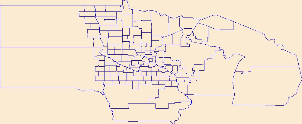
Geospatial data is comprised of government boundaries.
Types: Citation;
Tags: Aitkin,
Anoka,
Becker,
Beltrami,
Benton, All tags...
Big Stone,
Blue Earth,
Boundaries,
Brown,
Carlton,
Carver,
Cass,
Chippewa,
Chisago,
Clay,
Clearwater,
Cook,
Cottonwood,
County or Equivalent,
Crow Wing,
Dakota,
Dodge,
Douglas,
Downloadable Data,
Esri File GeoDatabase 10,
Faribault,
FileGDB,
Fillmore,
Freeborn,
Goodhue,
Grant,
Hennepin,
Houston,
Hubbard,
Incorporated Place,
Isanti,
Itasca,
Jackson,
Jurisdictional,
Kanabec,
Kandiyohi,
Kittson,
Koochiching,
Lac qui Parle,
Lake,
Lake of the Woods,
Le Sueur,
Lincoln,
Lyon,
MN,
Mahnomen,
Marshall,
Martin,
McLeod,
Meeker,
Mille Lacs,
Minnesota,
Minor Civil Division,
Morrison,
Mower,
Murray,
National Boundary Dataset (NBD),
National Boundary Dataset (NBD),
Native American Area,
Nicollet,
Nobles,
Norman,
Olmsted,
Otter Tail,
PLSS First Division,
PLSS Special Survey,
PLSS Township,
Pennington,
Pine,
Pipestone,
Polk,
Pope,
Public Land Survey System,
Ramsey,
Red Lake,
Redwood,
Renville,
Reserve,
Rice,
Rock,
Roseau,
Scott,
Sherburne,
Sibley,
St. Louis,
State,
State,
State or Territory,
Stearns,
Steele,
Stevens,
Swift,
Todd,
Traverse,
U.S. National Grid,
US,
Unincorporated Place,
United States,
Wabasha,
Wadena,
Waseca,
Washington,
Watonwan,
Wilkin,
Winona,
Wright,
Yellow Medicine,
boundaries,
boundary,
cadastral surveys,
geographic names,
land ownership,
land use maps,
legal land descriptions,
political and administrative boundaries,
zoning maps, Fewer tags
Geospatial data is comprised of government boundaries.
Types: Citation;
Tags: AR,
Arkansas,
Arkansas,
Ashley,
Baxter, All tags...
Benton,
Boone,
Boundaries,
Bradley,
Calhoun,
Carroll,
Chicot,
Clark,
Clay,
Cleburne,
Cleveland,
Columbia,
Conway,
County or Equivalent,
Craighead,
Crawford,
Crittenden,
Cross,
Dallas,
Desha,
Downloadable Data,
Drew,
Esri File GeoDatabase 10,
Faulkner,
FileGDB,
Franklin,
Fulton,
Garland,
Grant,
Greene,
Hempstead,
Hot Spring,
Howard,
Incorporated Place,
Independence,
Izard,
Jackson,
Jefferson,
Johnson,
Jurisdictional,
Lafayette,
Lawrence,
Lee,
Lincoln,
Little River,
Logan,
Lonoke,
Madison,
Marion,
Miller,
Minor Civil Division,
Mississippi,
Monroe,
Montgomery,
National Boundary Dataset (NBD),
National Boundary Dataset (NBD),
Native American Area,
Nevada,
Newton,
Ouachita,
PLSS First Division,
PLSS Special Survey,
PLSS Township,
Perry,
Phillips,
Pike,
Poinsett,
Polk,
Pope,
Prairie,
Public Land Survey System,
Pulaski,
Randolph,
Reserve,
Saline,
Scott,
Searcy,
Sebastian,
Sevier,
Sharp,
St. Francis,
State,
State,
State or Territory,
Stone,
U.S. National Grid,
US,
Unincorporated Place,
Union,
United States,
Van Buren,
Washington,
White,
Woodruff,
Yell,
boundaries,
boundary,
cadastral surveys,
geographic names,
land ownership,
land use maps,
legal land descriptions,
political and administrative boundaries,
zoning maps, Fewer tags
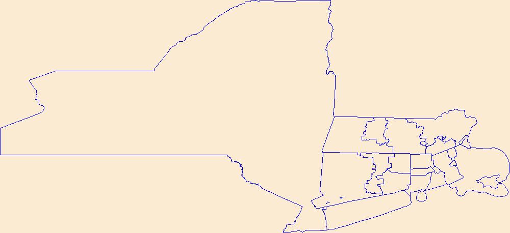
Geospatial data is comprised of government boundaries.
Types: Citation;
Tags: Barnstable,
Berkshire,
Boundaries,
Bristol,
County or Equivalent, All tags...
Downloadable Data,
Dukes,
Esri File GeoDatabase 10,
Essex,
FileGDB,
Franklin,
Hampden,
Hampshire,
Incorporated Place,
Jurisdictional,
MA,
Massachusetts,
Middlesex,
Minor Civil Division,
Nantucket,
National Boundary Dataset (NBD),
National Boundary Dataset (NBD),
Native American Area,
Norfolk,
PLSS First Division,
PLSS Special Survey,
PLSS Township,
Plymouth,
Public Land Survey System,
Reserve,
State,
State,
State or Territory,
Suffolk,
U.S. National Grid,
US,
Unincorporated Place,
United States,
Worcester,
boundaries,
boundary,
cadastral surveys,
geographic names,
land ownership,
land use maps,
legal land descriptions,
political and administrative boundaries,
zoning maps, Fewer tags

Geospatial data is comprised of government boundaries.
Types: Citation;
Tags: Boundaries,
County or Equivalent,
Downloadable Data,
Esri File GeoDatabase 10,
FileGDB, All tags...
HI,
Hawaii,
Hawaii,
Honolulu,
Incorporated Place,
Jurisdictional,
Kalawao,
Kauai,
Maui,
Minor Civil Division,
National Boundary Dataset (NBD),
National Boundary Dataset (NBD),
Native American Area,
PLSS First Division,
PLSS Special Survey,
PLSS Township,
Public Land Survey System,
Reserve,
State,
State,
State or Territory,
U.S. National Grid,
US,
Unincorporated Place,
United States,
boundaries,
boundary,
cadastral surveys,
geographic names,
land ownership,
land use maps,
legal land descriptions,
political and administrative boundaries,
zoning maps, Fewer tags

The USGS Governmental Unit Boundaries service from The National Map (TNM) represents major civil areas for the Nation, including States or Territories, counties (or equivalents), Federal and Native American areas, congressional districts, minor civil divisions, incorporated places (such as cities and towns), and unincorporated places. Boundaries data are useful for understanding the extent of jurisdictional or administrative areas for a wide range of applications, including mapping or managing resources, and responding to natural disasters. Boundaries data also include extents of forest, grassland, park, wilderness, wildlife, and other reserve areas useful for recreational activities, such as hiking and backpacking....
Types: Citation;
Tags: Boundaries,
NGP-TNM,
Overlay Map Service,
REST,
US, All tags...
United States,
WFS,
WMS,
administrative,
borough,
boundaries,
boundary,
city,
city and borough,
congressional district,
county,
federal,
gazetteer,
government,
governmental unit,
incorporated place,
minor civil division,
municipal,
municipio,
native american area,
parish,
reserve,
state,
statistical,
territory,
town,
unincorporated place,
village, Fewer tags
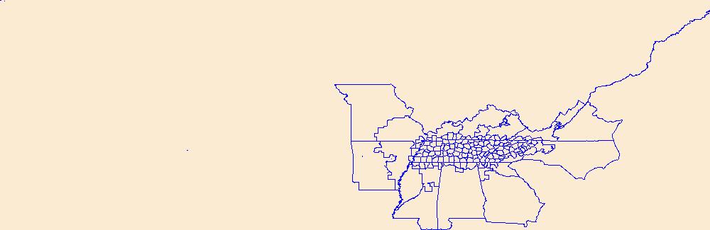
Geospatial data is comprised of government boundaries.
Types: Citation;
Tags: Anderson,
Bedford,
Benton,
Bledsoe,
Blount, All tags...
Boundaries,
Bradley,
Campbell,
Cannon,
Carroll,
Carter,
Cheatham,
Chester,
Claiborne,
Clay,
Cocke,
Coffee,
County or Equivalent,
Crockett,
Cumberland,
Davidson,
DeKalb,
Decatur,
Dickson,
Downloadable Data,
Dyer,
Esri File GeoDatabase 10,
Fayette,
Fentress,
FileGDB,
Franklin,
Gibson,
Giles,
Grainger,
Greene,
Grundy,
Hamblen,
Hamilton,
Hancock,
Hardeman,
Hardin,
Hawkins,
Haywood,
Henderson,
Henry,
Hickman,
Houston,
Humphreys,
Incorporated Place,
Jackson,
Jefferson,
Johnson,
Jurisdictional,
Knox,
Lake,
Lauderdale,
Lawrence,
Lewis,
Lincoln,
Loudon,
Macon,
Madison,
Marion,
Marshall,
Maury,
McMinn,
McNairy,
Meigs,
Minor Civil Division,
Monroe,
Montgomery,
Moore,
Morgan,
National Boundary Dataset (NBD),
National Boundary Dataset (NBD),
Native American Area,
Obion,
Overton,
PLSS First Division,
PLSS Special Survey,
PLSS Township,
Perry,
Pickett,
Polk,
Public Land Survey System,
Putnam,
Reserve,
Rhea,
Roane,
Robertson,
Rutherford,
Scott,
Sequatchie,
Sevier,
Shelby,
Smith,
State,
State,
State or Territory,
Stewart,
Sullivan,
Sumner,
TN,
Tennessee,
Tipton,
Trousdale,
U.S. National Grid,
US,
Unicoi,
Unincorporated Place,
Union,
United States,
Van Buren,
Warren,
Washington,
Wayne,
Weakley,
White,
Williamson,
Wilson,
boundaries,
boundary,
cadastral surveys,
geographic names,
land ownership,
land use maps,
legal land descriptions,
political and administrative boundaries,
zoning maps, Fewer tags
Geospatial data is comprised of government boundaries.
Types: Citation;
Tags: Boundaries,
Carson City,
Churchill,
Clark,
County or Equivalent, All tags...
Douglas,
Downloadable Data,
Elko,
Esmeralda,
Esri File GeoDatabase 10,
Eureka,
FileGDB,
Humboldt,
Incorporated Place,
Jurisdictional,
Lander,
Lincoln,
Lyon,
Mineral,
Minor Civil Division,
NV,
National Boundary Dataset (NBD),
National Boundary Dataset (NBD),
Native American Area,
Nevada,
Nye,
PLSS First Division,
PLSS Special Survey,
PLSS Township,
Pershing,
Public Land Survey System,
Reserve,
State,
State,
State or Territory,
Storey,
U.S. National Grid,
US,
Unincorporated Place,
United States,
Washoe,
White Pine,
boundaries,
boundary,
cadastral surveys,
geographic names,
land ownership,
land use maps,
legal land descriptions,
political and administrative boundaries,
zoning maps, Fewer tags
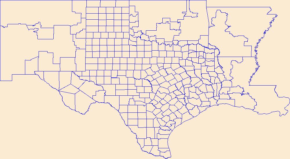
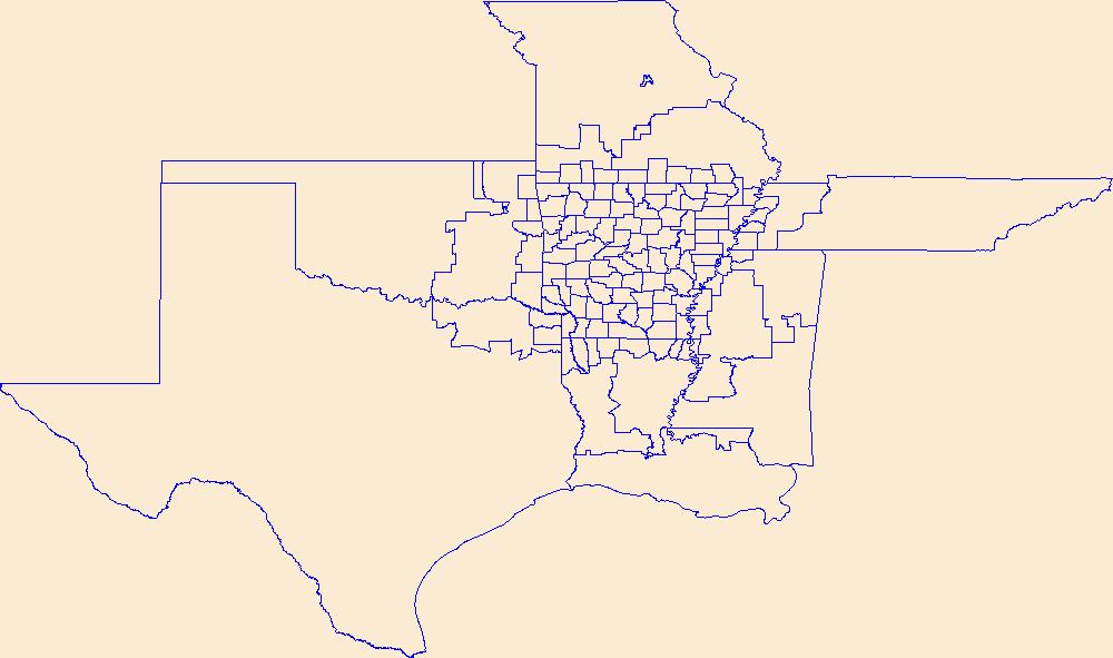
Geospatial data is comprised of government boundaries.
Types: Citation;
Tags: Anderson,
Andrews,
Angelina,
Aransas,
Archer, All tags...
Armstrong,
Atascosa,
Austin,
Bailey,
Bandera,
Bastrop,
Baylor,
Bee,
Bell,
Bexar,
Blanco,
Borden,
Bosque,
Boundaries,
Bowie,
Brazoria,
Brazos,
Brewster,
Briscoe,
Brooks,
Brown,
Burleson,
Burnet,
Caldwell,
Calhoun,
Callahan,
Cameron,
Camp,
Carson,
Cass,
Castro,
Chambers,
Cherokee,
Childress,
Clay,
Cochran,
Coke,
Coleman,
Collin,
Collingsworth,
Colorado,
Comal,
Comanche,
Concho,
Cooke,
Coryell,
Cottle,
County or Equivalent,
Crane,
Crockett,
Crosby,
Culberson,
Dallam,
Dallas,
Dawson,
DeWitt,
Deaf Smith,
Delta,
Denton,
Dickens,
Dimmit,
Donley,
Downloadable Data,
Duval,
Eastland,
Ector,
Edwards,
El Paso,
Ellis,
Erath,
Esri File GeoDatabase 10,
Falls,
Fannin,
Fayette,
FileGDB,
Fisher,
Floyd,
Foard,
Fort Bend,
Franklin,
Freestone,
Frio,
Gaines,
Galveston,
Garza,
Gillespie,
Glasscock,
Goliad,
Gonzales,
Gray,
Grayson,
Gregg,
Grimes,
Guadalupe,
Hale,
Hall,
Hamilton,
Hansford,
Hardeman,
Hardin,
Harris,
Harrison,
Hartley,
Haskell,
Hays,
Hemphill,
Henderson,
Hidalgo,
Hill,
Hockley,
Hood,
Hopkins,
Houston,
Howard,
Hudspeth,
Hunt,
Hutchinson,
Incorporated Place,
Irion,
Jack,
Jackson,
Jasper,
Jeff Davis,
Jefferson,
Jim Hogg,
Jim Wells,
Johnson,
Jones,
Jurisdictional,
Karnes,
Kaufman,
Kendall,
Kenedy,
Kent,
Kerr,
Kimble,
King,
Kinney,
Kleberg,
Knox,
La Salle,
Lamar,
Lamb,
Lampasas,
Lavaca,
Lee,
Leon,
Liberty,
Limestone,
Lipscomb,
Live Oak,
Llano,
Loving,
Lubbock,
Lynn,
Madison,
Marion,
Martin,
Mason,
Matagorda,
Maverick,
McCulloch,
McLennan,
McMullen,
Medina,
Menard,
Midland,
Milam,
Mills,
Minor Civil Division,
Mitchell,
Montague,
Montgomery,
Moore,
Morris,
Motley,
Nacogdoches,
National Boundary Dataset (NBD),
National Boundary Dataset (NBD),
Native American Area,
Navarro,
Newton,
Nolan,
Nueces,
Ochiltree,
Oldham,
Orange,
PLSS First Division,
PLSS Special Survey,
PLSS Township,
Palo Pinto,
Panola,
Parker,
Parmer,
Pecos,
Polk,
Potter,
Presidio,
Public Land Survey System,
Rains,
Randall,
Reagan,
Real,
Red River,
Reeves,
Refugio,
Reserve,
Roberts,
Robertson,
Rockwall,
Runnels,
Rusk,
Sabine,
San Augustine,
San Jacinto,
San Patricio,
San Saba,
Schleicher,
Scurry,
Shackelford,
Shelby,
Sherman,
Smith,
Somervell,
Starr,
State,
State,
State or Territory,
Stephens,
Sterling,
Stonewall,
Sutton,
Swisher,
TX,
Tarrant,
Taylor,
Terrell,
Terry,
Texas,
Throckmorton,
Titus,
Tom Green,
Travis,
Trinity,
Tyler,
U.S. National Grid,
US,
Unincorporated Place,
United States,
Upshur,
Upton,
Uvalde,
Val Verde,
Van Zandt,
Victoria,
Walker,
Waller,
Ward,
Washington,
Webb,
Wharton,
Wheeler,
Wichita,
Wilbarger,
Willacy,
Williamson,
Wilson,
Winkler,
Wise,
Wood,
Yoakum,
Young,
Zapata,
Zavala,
boundaries,
boundary,
cadastral surveys,
geographic names,
land ownership,
land use maps,
legal land descriptions,
political and administrative boundaries,
zoning maps, Fewer tags
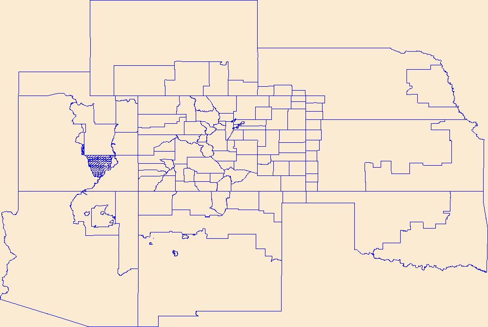
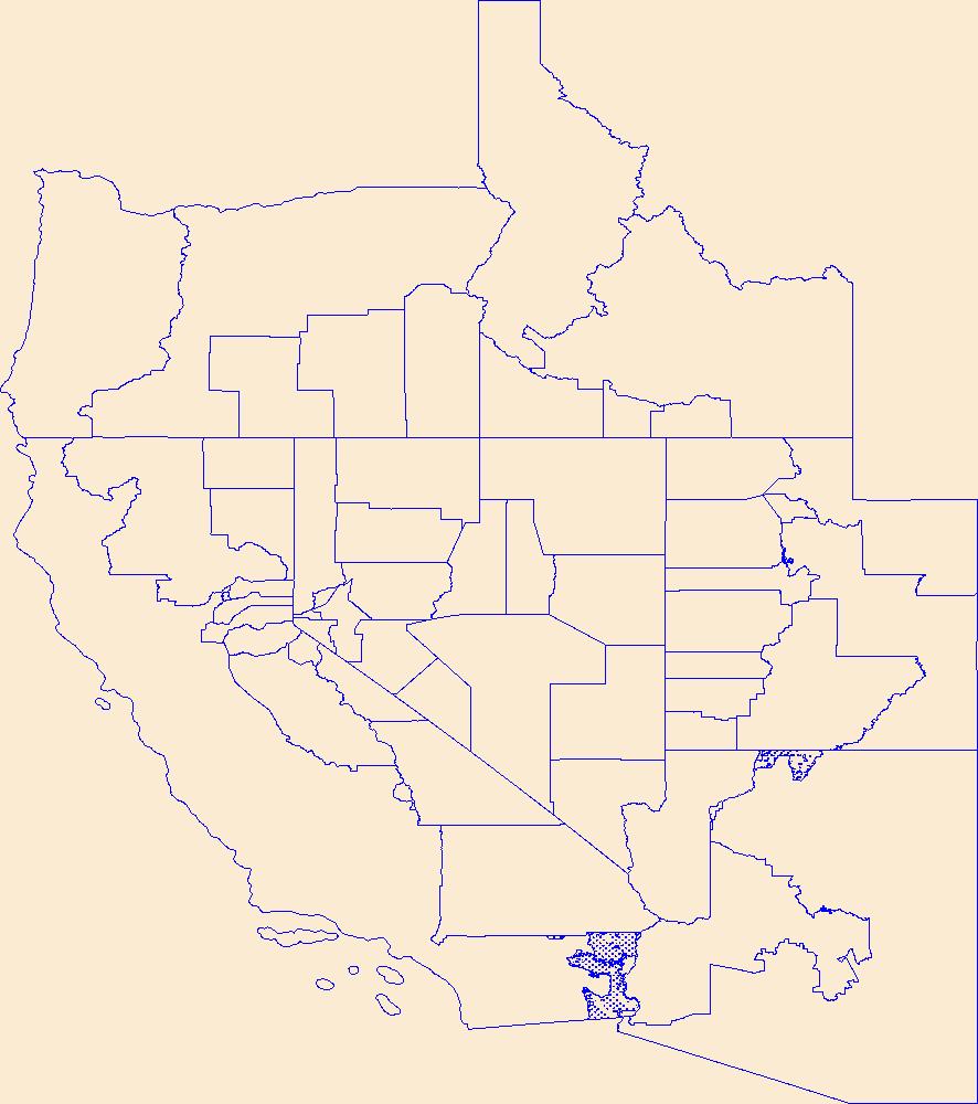
Geospatial data is comprised of government boundaries.
Types: Citation;
Tags: Adams,
Alamosa,
Arapahoe,
Archuleta,
Baca, All tags...
Bent,
Boulder,
Boundaries,
Broomfield,
CO,
Chaffee,
Cheyenne,
Clear Creek,
Colorado,
Conejos,
Costilla,
County or Equivalent,
Crowley,
Custer,
Delta,
Denver,
Dolores,
Douglas,
Downloadable Data,
Eagle,
El Paso,
Elbert,
Esri File GeoDatabase 10,
FileGDB,
Fremont,
Garfield,
Gilpin,
Grand,
Gunnison,
Hinsdale,
Huerfano,
Incorporated Place,
Jackson,
Jefferson,
Jurisdictional,
Kiowa,
Kit Carson,
La Plata,
Lake,
Larimer,
Las Animas,
Lincoln,
Logan,
Mesa,
Mineral,
Minor Civil Division,
Moffat,
Montezuma,
Montrose,
Morgan,
National Boundary Dataset (NBD),
National Boundary Dataset (NBD),
Native American Area,
Otero,
Ouray,
PLSS First Division,
PLSS Special Survey,
PLSS Township,
Park,
Phillips,
Pitkin,
Prowers,
Public Land Survey System,
Pueblo,
Reserve,
Rio Blanco,
Rio Grande,
Routt,
Saguache,
San Juan,
San Miguel,
Sedgwick,
State,
State,
State or Territory,
Summit,
Teller,
U.S. National Grid,
US,
Unincorporated Place,
United States,
Washington,
Weld,
Yuma,
boundaries,
boundary,
cadastral surveys,
geographic names,
land ownership,
land use maps,
legal land descriptions,
political and administrative boundaries,
zoning maps, Fewer tags
Geospatial data is comprised of government boundaries.
Types: Citation;
Tags: Abbeville,
Aiken,
Allendale,
Anderson,
Bamberg, All tags...
Barnwell,
Beaufort,
Berkeley,
Boundaries,
Calhoun,
Charleston,
Cherokee,
Chester,
Chesterfield,
Clarendon,
Colleton,
County or Equivalent,
Darlington,
Dillon,
Dorchester,
Downloadable Data,
Edgefield,
Esri File GeoDatabase 10,
Fairfield,
FileGDB,
Florence,
Georgetown,
Greenville,
Greenwood,
Hampton,
Horry,
Incorporated Place,
Jasper,
Jurisdictional,
Kershaw,
Lancaster,
Laurens,
Lee,
Lexington,
Marion,
Marlboro,
McCormick,
Minor Civil Division,
National Boundary Dataset (NBD),
National Boundary Dataset (NBD),
Native American Area,
Newberry,
Oconee,
Orangeburg,
PLSS First Division,
PLSS Special Survey,
PLSS Township,
Pickens,
Public Land Survey System,
Reserve,
Richland,
SC,
Saluda,
South Carolina,
Spartanburg,
State,
State,
State or Territory,
Sumter,
U.S. National Grid,
US,
Unincorporated Place,
Union,
United States,
Williamsburg,
York,
boundaries,
boundary,
cadastral surveys,
geographic names,
land ownership,
land use maps,
legal land descriptions,
political and administrative boundaries,
zoning maps, Fewer tags
|