Filters: Tags: Iowa City (X)
9 results (113ms)|
Filters
Date Range
Types Contacts
Tag Types Tag Schemes |
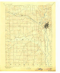
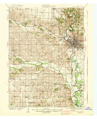
USGS Historical Quadrangle in GeoPDF.
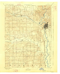
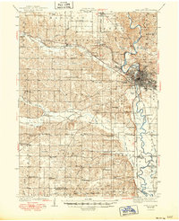
USGS Historical Quadrangle in GeoPDF.
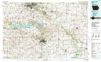
USGS Historical Quadrangle in GeoPDF.

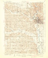
USGS Historical Quadrangle in GeoPDF.
USGS Historical Quadrangle in GeoPDF.
USGS Historical Quadrangle in GeoPDF.
USGS Historical Quadrangle in GeoPDF.
These geospatial data were collected during the August 31, 2016 topographic and hydrographic survey of Old Man's Creek in the vicinity of Iowa State Route 1 near Iowa City, IA.

USGS Historical Quadrangle in GeoPDF.
|

|
