Filters: Tags: Jersey Shore (X)
7 results (52ms)|
Filters
Date Range
Contacts Categories Tag Types Tag Schemes |
The U.S. Geological Survey has been forecasting sea-level rise impacts on the landscape to evaluate where coastal land will be available for future use. The purpose of this project is to develop a spatially explicit, probabilistic model of coastal response for the Northeastern U.S. to a variety of sea-level scenarios that take into account the variable nature of the coast and provides outputs at spatial and temporal scales suitable for decision support. Model results provide predictions of adjusted land elevation ranges (AE) with respect to forecast sea-levels, a likelihood estimate of this outcome (PAE), and a probability of coastal response (CR) characterized as either static or dynamic. The predictions span the...
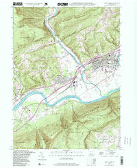
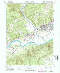
USGS Historical Quadrangle in GeoPDF.
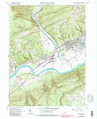
USGS Historical Quadrangle in GeoPDF.
The U.S. Geological Survey has been forecasting sea-level rise impacts on the landscape to evaluate where coastal land will be available for future use. The purpose of this project is to develop a spatially explicit, probabilistic model of coastal response for the Northeastern U.S. to a variety of sea-level scenarios that take into account the variable nature of the coast and provides outputs at spatial and temporal scales suitable for decision support. Model results provide predictions of adjusted land elevation ranges (AE) with respect to forecast sea-levels, a likelihood estimate of this outcome (PAE), and a probability of coastal response (CR) characterized as either static or dynamic. The predictions span the...
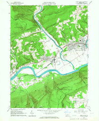
USGS Historical Quadrangle in GeoPDF.
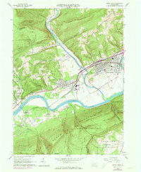
USGS Historical Quadrangle in GeoPDF.
USGS Historical Quadrangle in GeoPDF.
|

|
