Filters: Tags: Kauai County (X)
34 results (45ms)|
Filters
Date Range
Extensions Types
Contacts
Categories Tag Types Tag Schemes |
Hawai‘i’s endangered waterbirds have experienced epizootics caused by ingestion of prey that accumulated a botulinum neurotoxin produced by the anaerobic bacterium Clostridium botulinum (avian botulism; Type C). Waterbird carcasses, necrophagous flies, and their larvae initiate and spread avian botulism, a food-borne paralytic disease lethal to waterbirds. Each new carcass has potential to develop toxin-accumulating necrophagous vectors amplifying outbreaks and killing hundreds of endangered birds. Early carcass removal is an effective mitigation strategy for preventing avian intoxication, toxin concentration in necrophagous and secondary food webs, and reducing the magnitude of epizootics. However, rapid detection...
Time-series data of water-surface elevation, wave height, water-column currents, temperature were acquired for 6 days off the north coast of the island of Kauai, Hawaii in support of a study on the coastal circulation patterns and groundwater input to the coral reefs of Makua.
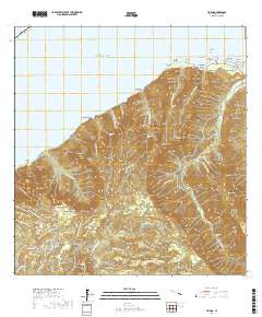
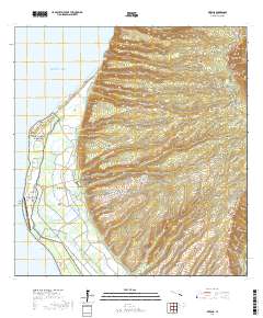
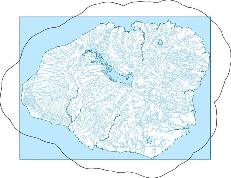
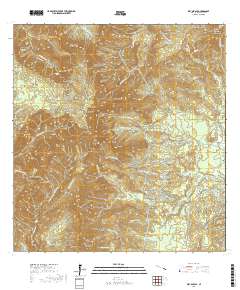
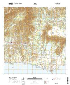
Layered geospatial PDF 7.5 Minute Quadrangle Map. Layers of geospatial data include orthoimagery, roads, grids, geographic names, elevation contours, hydrography, and other selected map features. This map is derived from GIS (geospatial information system) data. It represents a repackaging of GIS data in traditional map form, not creation of new information. The geospatial data in this map are from selected National Map data holdings and other government sources.
Types: Citation;
Tags: 7.5 x 7.5 minute,
Downloadable Data,
EarthCover,
Geospatial PDF,
Geospatial PDF,
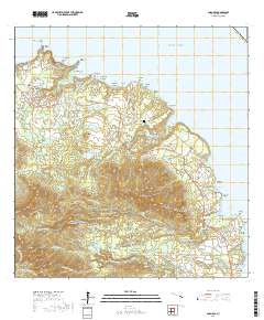
We have incorporated the Hawaiian language spellings of place names however, software limitations for metadata files did not allow for inclusion of the appropriate diacritical markings. Among important seabird breeding sites in the main Hawaiian Islands (MHI), Lehua Island off Niʻihau, and Moku Manu Islets off O'ahu support diverse and abundant seabird breeding populations. Both offshore islands provide excellent nesting habitat for surface nesting boobies (Sula spp.) and Moku Manu also supports nesting habitat for relatively large breeding populations of Sooty Tern (Onychoprion fuscatus) and Brown Noddy (Anous stolidus). Additionally, Ulupa'u Crater, near Moku Manu on O'ahu, is one of only a few main island sites...
The High Resolution National Hydrography Dataset Plus (NHDPlus HR) is an integrated set of geospatial data layers, including the best available National Hydrography Dataset (NHD), the 10-meter 3D Elevation Program Digital Elevation Model (3DEP DEM), and the National Watershed Boundary Dataset (WBD). The NHDPlus HR combines the NHD, 3DEP DEMs, and WBD to create a stream network with linear referencing, feature naming, "value added attributes" (VAAs), elevation-derived catchments, and other features for hydrologic data analysis. The stream network with linear referencing is a system of data relationships applied to hydrographic systems so that one stream reach "flows" into another and "events" can be tied to and traced...
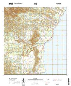
Layered geospatial PDF 7.5 Minute Quadrangle Map. Layers of geospatial data include orthoimagery, roads, grids, geographic names, elevation contours, hydrography, and other selected map features. This map is derived from GIS (geospatial information system) data. It represents a repackaging of GIS data in traditional map form, not creation of new information. The geospatial data in this map are from selected National Map data holdings and other government sources.
Types: Citation;
Tags: 7.5 x 7.5 minute,
Downloadable Data,
EarthCover,
Geospatial PDF,
Geospatial PDF,
Along-shore surface-based 2D electrical resistivity tomography (ERT) surveys were collected in the nearshore region of Makua, Kauai.
Hawai‘i’s endangered waterbirds have experienced epizootics caused by ingestion of prey that accumulated a botulinum neurotoxin produced by the anaerobic bacterium Clostridium botulinum (avian botulism; Type C). Waterbird carcasses, necrophagous flies, and their larvae initiate and spread avian botulism, a food-borne paralytic disease lethal to waterbirds. Each new carcass has potential to develop toxin-accumulating necrophagous vectors amplifying outbreaks and killing hundreds of endangered birds. Early carcass removal is an effective mitigation strategy for preventing avian intoxication, toxin concentration in necrophagous and secondary food webs, and reducing the magnitude of epizootics. However, rapid detection...
This digital publication contains all the geologic map information used to publish U.S. Geological Survey Geologic Investigations Map Series SIM-3143 (Sherrod and others, 2021). This geologic map shows the distribution and stratigraphic relation of volcanic, intrusive, and sedimentary units emplaced in the past 8 million years across the eight principal islands of the Hawaiian archipelago, State of Hawaii, U.S.A. This geologic map database is accompanied by a report, which includes the formatted geologic map and explanatory pamphlet, available at https://doi.org/10.3133/sim3143. The authors ask that users of the geologic map database cite both the report and the database: Report: Sherrod, D.R., Sinton, J.M.,...
Categories: Data;
Types: ArcGIS Map Package,
ArcGIS REST Map Service,
ArcGIS Service Definition,
Downloadable,
Map Service;
Tags: Hana,
Hawaii,
Honolulu,
Kahoolawe,
Kauai County,
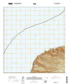
Layered geospatial PDF 7.5 Minute Quadrangle Map. Layers of geospatial data include orthoimagery, roads, grids, geographic names, elevation contours, hydrography, and other selected map features. This map is derived from GIS (geospatial information system) data. It represents a repackaging of GIS data in traditional map form, not creation of new information. The geospatial data in this map are from selected National Map data holdings and other government sources.
Types: Citation;
Tags: 7.5 x 7.5 minute,
Downloadable Data,
EarthCover,
Geospatial PDF,
Geospatial PDF,
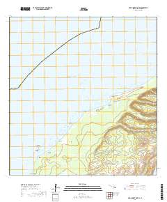
Layered geospatial PDF 7.5 Minute Quadrangle Map. Layers of geospatial data include orthoimagery, roads, grids, geographic names, elevation contours, hydrography, and other selected map features. This map is derived from GIS (geospatial information system) data. It represents a repackaging of GIS data in traditional map form, not creation of new information. The geospatial data in this map are from selected National Map data holdings and other government sources.
Types: Citation;
Tags: 7.5 x 7.5 minute,
Anahola, HI,
Downloadable Data,
EarthCover,
Geospatial PDF,
Hawai‘i’s endangered waterbirds have experienced epizootics caused by ingestion of prey that accumulated a botulinum neurotoxin produced by the anaerobic bacterium Clostridium botulinum (avian botulism; Type C). Waterbird carcasses, necrophagous flies, and their larvae initiate and spread avian botulism, a food-borne paralytic disease lethal to waterbirds. Each new carcass has potential to develop toxin-accumulating necrophagous vectors amplifying outbreaks and killing hundreds of endangered birds. Early carcass removal is an effective mitigation strategy for preventing avian intoxication, toxin concentration in necrophagous and secondary food webs, and reducing the magnitude of epizootics. However, rapid detection...
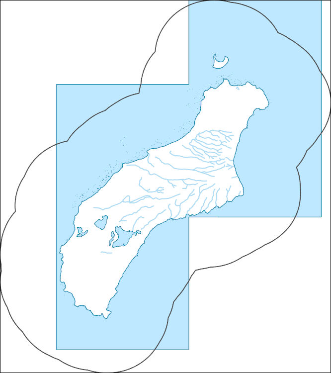
Layered geospatial PDF 7.5 Minute Quadrangle Map. Layers of geospatial data include orthoimagery, roads, grids, geographic names, elevation contours, hydrography, and other selected map features. This map is derived from GIS (geospatial information system) data. It represents a repackaging of GIS data in traditional map form, not creation of new information. The geospatial data in this map are from selected National Map data holdings and other government sources.
Types: Citation;
Tags: 7.5 x 7.5 minute,
Downloadable Data,
EarthCover,
Geospatial PDF,
Geospatial PDF,
Satellite-tracked, DGPS-equipped Lagrangian surface-current drifter deployments were conducted over 6 days between 30 July and 4 August 2016 at various locations and stages of the tide over the coral reef off Makua, HI. The drifters internally logged their location every 1 minute, and they transmitted their positions to satellites every 5 minutes. A drogue was attached to the drifters at 1 m below sea level in order to track the currents at that depth.
The High Resolution National Hydrography Dataset Plus (NHDPlus HR) is an integrated set of geospatial data layers, including the best available National Hydrography Dataset (NHD), the 10-meter 3D Elevation Program Digital Elevation Model (3DEP DEM), and the National Watershed Boundary Dataset (WBD). The NHDPlus HR combines the NHD, 3DEP DEMs, and WBD to create a stream network with linear referencing, feature naming, "value added attributes" (VAAs), elevation-derived catchments, and other features for hydrologic data analysis. The stream network with linear referencing is a system of data relationships applied to hydrographic systems so that one stream reach "flows" into another and "events" can be tied to and traced...
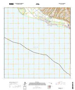
Layered geospatial PDF 7.5 Minute Quadrangle Map. Layers of geospatial data include orthoimagery, roads, grids, geographic names, elevation contours, hydrography, and other selected map features. This map is derived from GIS (geospatial information system) data. It represents a repackaging of GIS data in traditional map form, not creation of new information. The geospatial data in this map are from selected National Map data holdings and other government sources.
Types: Citation;
Tags: 7.5 x 7.5 minute,
Downloadable Data,
EarthCover,
Geospatial PDF,
Geospatial PDF,
|

|
