Filters: Tags: Kotzebue (X)
13 results (78ms)|
Filters
Date Range
Extensions Types Contacts
Categories Tag Types
|
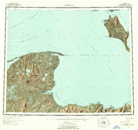
USGS Historical Quadrangle in GeoPDF.
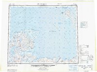
USGS Historical Quadrangle in GeoPDF.
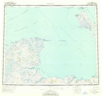
USGS Historical Quadrangle in GeoPDF.
USGS Historical Quadrangle in GeoPDF.
This part of the data release presents orthoimagery spanning the ocean shoreline of Alaska from Icy Cape to Cape Prince of Wales. Aerial images were collected, and data were processed, by Fairbanks Fodar (https://www.fairbanksfodar.com) in Fairbanks, Alaska, for the U.S. Geological Survey. The aerial images, from which the orthoimages were created, were collected in 2016 between August 29 and September 4 and extend from the shoreline to 400-4000 meters inland. The aerial images were collected with precise Global Positioning System (GPS) navigation data from a manned aircraft and were then processed into orthoimages photogrammetrically and using structure-from-motion (SFM) processing methods as described in Nolan...
USGS Historical Quadrangle in GeoPDF.
This part of the data release presents a shapefile that includes a spatial index of orthoimagery and elevation data describing the Alaskan coastline from Icy Cape to Cape Prince of Wales. The data products referenced in this index include orthoimagery, digital surface models, and elevation point clouds which were generated from aerial imagery using structure-from-motion methods. Fairbanks Fodar, a contracted mapping service, collected the aerial imagery in 2016 and created all of the data products referenced here. Due to the enormous extent of this dataset, the products are split into separate files with more manageable sizes. Each polygon in this shapefile index provides a geographic outline of a data file’s coverage,...
Categories: Data;
Types: Downloadable,
Map Service,
OGC WFS Layer,
OGC WMS Layer,
Shapefile;
Tags: CMHRP,
Cape Beaufort,
Cape Espenberg,
Cape Krusenstern,
Cape Lewis,
This part of the data release presents digital elevation models (DEMs) spanning the ocean shoreline of Alaska from Icy Cape to Cape Prince of Wales. Aerial images were collected, and data were processed, by Fairbanks Fodar (https://www.fairbanksfodar.com) in Fairbanks, Alaska, for the U.S. Geological Survey. The aerial images, from which the DEMs were created, were collected in 2016 between August 29 and September 4 and extend from the shoreline to 400-4000 meters inland. The aerial images were collected with precise Global Positioning System (GPS) navigation data from a manned aircraft and were then processed into DEMs photogrammetrically using structure-from-motion (SFM) processing methods as described in Nolan...
This part of the data release presents georeferenced elevation point clouds spanning the ocean shoreline of Alaska from Icy Cape to Cape Prince of Wales. Aerial images were collected, and data were processed, by Fairbanks Fodar (https://www.fairbanksfodar.com) in Fairbanks, Alaska, for the U.S. Geological Survey. The aerial images, from which the point clouds were derived, were collected in 2016 between August 29 and September 4 and extend from the shoreline to 400-4000 meters inland. The aerial images were collected with precise Global Positioning System (GPS) navigation data from a manned aircraft and were then processed using structure-from-motion (SFM) methods as described in Nolan and others, 2015 . The included...
USGS Historical Quadrangle in GeoPDF.
Frequency domain electromagnetic induction (FDEM) data were collected in September 2016 near the Agashashok River and its tributaries, within the Noatak National Preserve near Kotzebue, AK to aid in local permafrost mapping. Data were collected with a GEM-2 instrument (1.6 m coil separation, Geophex, Ltd.); a broadband sensor that measures the bulk conductivity and magnetic susceptibility of the subsurface to approximately 5-10 meters depth. The instrument is hand carried by a single operator and data are collected at walking speeds.
USGS Historical Quadrangle in GeoPDF.
This dataset includes stable carbon and nitrogen isotope values for the tissues and parasites of California sea lions and ice seals from California and Alaska coastal waters necropsied and harvested in 2009-2010 respectively. Stable carbon and nitrogen isotope data are useful for clarifying trophic relationships in host-parasite systems. These data were used in tandem with tissue mercury concentrations to explore the role of gastrointestinal parasites on pinniped mercury exposure. There are two files in this dataset: 1) A comma delimited machine-readable file (*.csv) that represents the data dictionary, and 2) a comma delimited machine-readable file (*.csv) containing the data.
Categories: Data;
Tags: California,
Kotzebue,
USGS Science Data Catalog (SDC),
biota,
isotope geochemistry,
|

|
