Filters: Tags: LA GRANGE (X)
30 results (121ms)|
Filters
Date Range
Extensions Types Contacts
Categories Tag Types Tag Schemes |

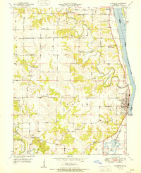
USGS Historical Quadrangle in GeoPDF.
The U.S. Army Corps of Engineers' Upper Mississippi River Restoration (UMRR) Program Long Term Resource Monitoring (LTRM) element has overseen the collection, processing, and serving of bathymetric data since 1989. A systemic data collection for the Upper Mississippi River System (UMRS) was completed in 2010. Water depth in aquatic systems is important for describing the physical characteristics of a river. Bathymetric maps are used for conducting spatial inventories of the aquatic habitat and detecting bed and elevation changes due to sedimentation. Bathymetric data is widely used, specifically for studies of water level management alternatives, modeling navigation impacts and hydraulic conditions, and environmental...
Categories: Data;
Types: Citation,
Downloadable,
Map Service,
OGC WFS Layer,
OGC WMS Layer,
Shapefile;
Tags: Illinois,
Illinois River,
Illinois Waterway,
LIDAR,
La Grange,

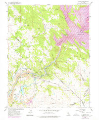
USGS Historical Quadrangle in GeoPDF.
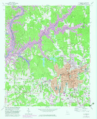
USGS Historical Quadrangle in GeoPDF.
USGS Historical Quadrangle in GeoPDF.
USGS Historical Quadrangle in GeoPDF.
USGS Historical Quadrangle in GeoPDF.
USGS Historical Quadrangle in GeoPDF.
USGS Historical Quadrangle in GeoPDF.
USGS Historical Quadrangle in GeoPDF.
|

|
