Filters: Tags: LARAMIE (X)
238 results (85ms)|
Filters
Date Range
Extensions (Less) Types (Less)
Contacts (Less)
Categories (Less) Tag Types Tag Schemes
|
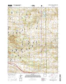
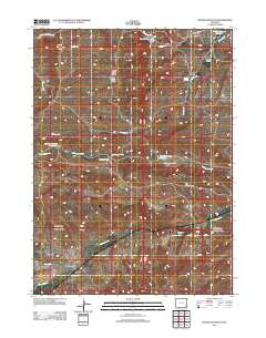
Layered GeoPDF 7.5 Minute Quadrangle Map. Layers of geospatial data include orthoimagery, roads, grids, geographic names, elevation contours, hydrography, and other selected map features.
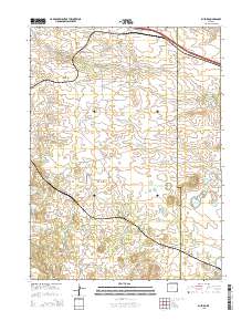
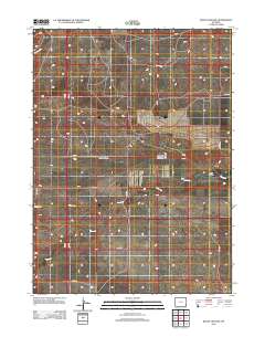
Layered GeoPDF 7.5 Minute Quadrangle Map. Layers of geospatial data include orthoimagery, roads, grids, geographic names, elevation contours, hydrography, and other selected map features.
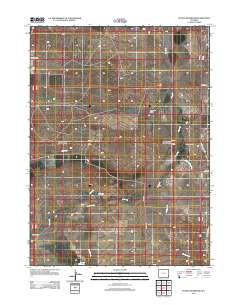
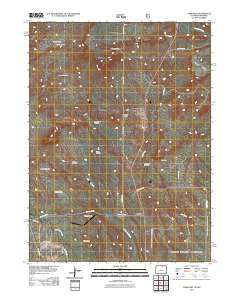
Layered GeoPDF 7.5 Minute Quadrangle Map. Layers of geospatial data include orthoimagery, roads, grids, geographic names, elevation contours, hydrography, and other selected map features.
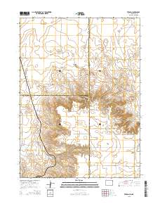
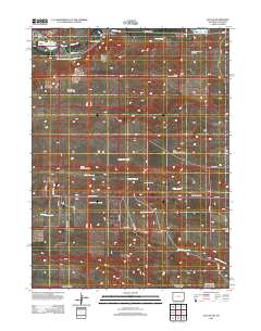
Layered GeoPDF 7.5 Minute Quadrangle Map. Layers of geospatial data include orthoimagery, roads, grids, geographic names, elevation contours, hydrography, and other selected map features.
Layered GeoPDF 7.5 Minute Quadrangle Map. Layers of geospatial data include orthoimagery, roads, grids, geographic names, elevation contours, hydrography, and other selected map features.
Layered GeoPDF 7.5 Minute Quadrangle Map. Layers of geospatial data include orthoimagery, roads, grids, geographic names, elevation contours, hydrography, and other selected map features.
Layered GeoPDF 7.5 Minute Quadrangle Map. Layers of geospatial data include orthoimagery, roads, grids, geographic names, elevation contours, hydrography, and other selected map features.
Layered GeoPDF 7.5 Minute Quadrangle Map. Layers of geospatial data include orthoimagery, roads, grids, geographic names, elevation contours, hydrography, and other selected map features.
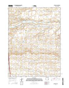
Layered GeoPDF 7.5 Minute Quadrangle Map. Layers of geospatial data include orthoimagery, roads, grids, geographic names, elevation contours, hydrography, and other selected map features.
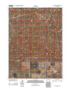
Layered GeoPDF 7.5 Minute Quadrangle Map. Layers of geospatial data include orthoimagery, roads, grids, geographic names, elevation contours, hydrography, and other selected map features.
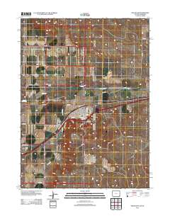
Layered GeoPDF 7.5 Minute Quadrangle Map. Layers of geospatial data include orthoimagery, roads, grids, geographic names, elevation contours, hydrography, and other selected map features.
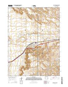
Layered GeoPDF 7.5 Minute Quadrangle Map. Layers of geospatial data include orthoimagery, roads, grids, geographic names, elevation contours, hydrography, and other selected map features.
Core Research Center, core U927, from well operated by GOODSON & ASSOCIATESRaw Properties from download, web scrape, MapServer, and Macrostrat API{"Lib Num": "U927", "API Num": null, "Operator": "GOODSON & ASSOCIATES", "Well Name": "CH-8 SUBSIDENCE STUDY", "Field": "VIRGINIA MINE", "State": "CO", "County": "JEFFERSON", "Type": "FULL", "Photos": "F", "Thin Sec": "F", "Analysis": "T", "Latitude": "39.57528", "Longitude": "-105.09325", "coordinates_geohash": "9xj30s3qtych", "Source": "CENTER OF QUARTER SECTION", "Security Flag": "NO SPECIAL RESTRICTIONS", "crc_collection_name": "core", "sb_parent_id": "4f4e49dae4b07f02db5e0486", "intervals": [{"Formation": "LARAMIE", "Age": "CRET", "Min Depth": "0", "Max Depth": "335"}],...
Core Research Center, core R948, from well operated by RWI-NOAARaw Properties from download, web scrape, MapServer, and Macrostrat API{"Lib Num": "R948", "API Num": null, "Operator": "RWI-NOAA", "Well Name": "1-2220 TOWER SITE", "Field": "BOULDER-WELD COAL", "State": "CO", "County": "WELD", "Type": "FULL", "Photos": "F", "Thin Sec": "F", "Analysis": "F", "Latitude": "40.08219", "Longitude": "-104.9488", "coordinates_geohash": "9xjk5bdxetyb", "Source": "CENTER OF QUARTER SECTION", "Security Flag": "NO SPECIAL RESTRICTIONS", "crc_collection_name": "core", "sb_parent_id": "4f4e49dae4b07f02db5e0486", "intervals": [{"Formation": "LARAMIE", "Age": "CRET", "Min Depth": "31", "Max Depth": "358"}], "crcwc_url": "https://my.usgs.gov/crcwc/core/report/13285",...
Core Research Center, core R944, from well operated by RWI-NOAARaw Properties from download, web scrape, MapServer, and Macrostrat API{"Lib Num": "R944", "API Num": null, "Operator": "RWI-NOAA", "Well Name": "5-2220 TOWER SITE", "Field": "BOULDER-WELD COAL", "State": "CO", "County": "WELD", "Type": "FULL", "Photos": "T", "Thin Sec": "F", "Analysis": "F", "Latitude": "40.05298", "Longitude": "-105.00081", "coordinates_geohash": "9xj7fektxb9k", "Source": "CENTER OF QUARTER SECTION", "Security Flag": "NO SPECIAL RESTRICTIONS", "crc_collection_name": "core", "sb_parent_id": "4f4e49dae4b07f02db5e0486", "intervals": [{"Formation": "LARAMIE", "Age": "CRET", "Min Depth": "32", "Max Depth": "106"}, {"Formation": "FOX HILLS",...
Categories: Physical Item;
Tags: CRET,
CRET,
Eolium (Windblown Clay, Silt (Loess), Sand And Granules),
FOX HILLS,
LARAMIE,
Core Research Center, core E805, from well operated by ALPHA OMEGARaw Properties from download, web scrape, MapServer, and Macrostrat API{"Lib Num": "E805", "API Num": "0512307733", "Operator": "ALPHA OMEGA", "Well Name": "1 CACTUS HILL", "Field": "WILDCAT", "State": "CO", "County": "WELD", "Type": "SLABBED", "Photos": "T", "Thin Sec": "F", "Analysis": "T", "Latitude": "40.557892", "Longitude": "-104.905547", "coordinates_geohash": "9xjqsz64ge49", "Source": "FROM STATE RECORDS", "Security Flag": "NO SPECIAL RESTRICTIONS", "crc_collection_name": "core", "sb_parent_id": "4f4e49dae4b07f02db5e0486", "intervals": [{"Formation": "LARAMIE", "Age": "CRET", "Min Depth": "4152", "Max Depth": "4176"}, {"Formation": "SUSSEX",...
Categories: Physical Item;
Tags: CRET,
CRET,
LARAMIE,
Pierre Shale,
Pierre Shale, Upper Transition Member,
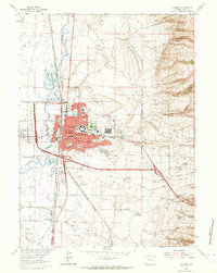
USGS Historical Quadrangle in GeoPDF.
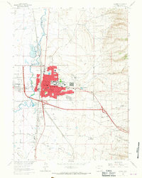
USGS Historical Quadrangle in GeoPDF.
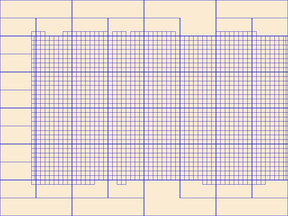
This data represents the map extent for current and historical USGS topographic maps for the United States and Territories, including 1 X 2 Degree, 1 X 1 Degree, 30 X 60 Minute, 15 X 15 Minute, 7.5 X 7.5 Minute, and 3.75 X 3.75 Minute. The grid was generated using ESRI ArcInfo GIS software.
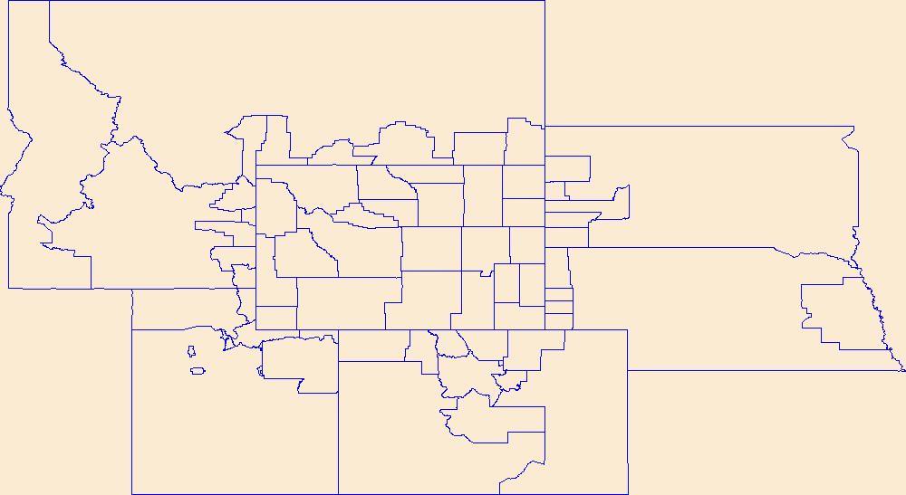
Geospatial data is comprised of government boundaries.
|

|
