Filters
Date Types (for Date Range)
Contacts
Categories
Tag Types
Tag Schemes
|
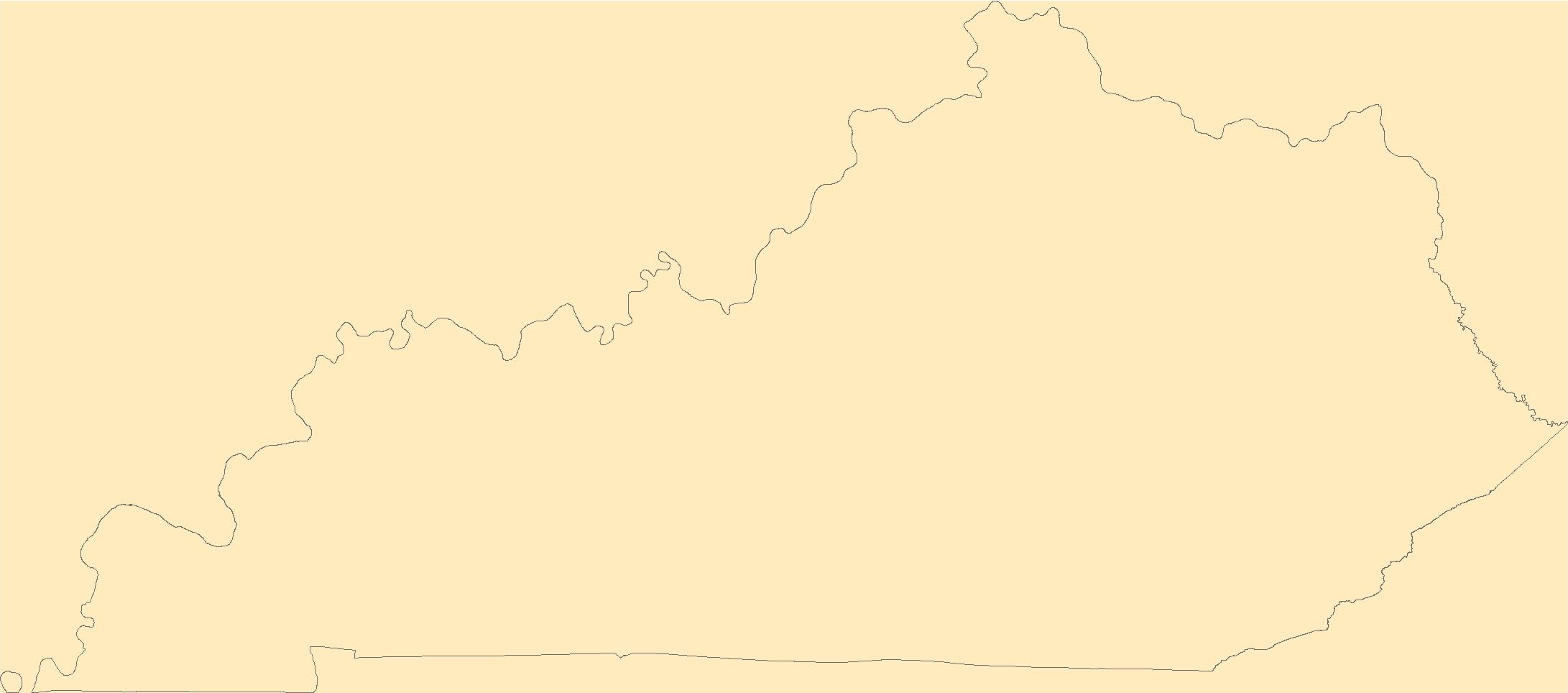
The Geographic Names Information System (GNIS) is the Federal standard for geographic nomenclature. The U.S. Geological Survey developed the GNIS for the U.S. Board on Geographic Names, a Federal inter-agency body chartered by public law to maintain uniform feature name usage throughout the Government and to promulgate standard names to the public. The GNIS is the official repository of domestic geographic names data; the official vehicle for geographic names use by all departments of the Federal Government; and the source for applying geographic names to Federal electronic and printed products of all types.
Tags: Adair,
Allen,
Anderson,
Antarctica,
Antarctica, All tags...
BGN,
Ballard,
Barren,
Bath,
Bell,
Board on Geographic Names,
Boone,
Borough,
Bourbon,
Boyd,
Boyle,
Bracken,
Breathitt,
Breckinridge,
Bullitt,
Butler,
Caldwell,
Calloway,
Campbell,
Carlisle,
Carroll,
Carter,
Casey,
Census Area,
Christian,
Clark,
Clay,
Clinton,
Commonwealth,
County,
Crittenden,
Cumberland,
Daviess,
District,
Downloadable Data,
Edmonson,
Elliott,
Estill,
Fayette,
Feature class,
Feature coordinates,
Feature county,
Feature description,
Feature designation,
Feature history,
Feature indentification,
Feature name,
Feature state,
Fleming,
Floyd,
Franklin,
Fulton,
GNIS,
Gallatin,
Garrard,
Geographic Names,
Geographic Names Domestic Names,
Geographic Names Information System,
Geographic feature,
Geographic name,
Geographical feature,
Geographical name,
Grant,
Graves,
Grayson,
Green,
Greenup,
Hancock,
Hardin,
Harlan,
Harrison,
Hart,
Henderson,
Henry,
Hickman,
Hopkins,
Jackson,
Jefferson,
Jessamine,
Johnson,
KY,
Kenton,
Kentucky,
Knott,
Knox,
Larue,
Laurel,
Lawrence,
Lee,
Leslie,
Letcher,
Lewis,
Lincoln,
Livingston,
Logan,
Lyon,
Madison,
Magoffin,
Marion,
Marshall,
Martin,
Mason,
McCracken,
McCreary,
McLean,
Meade,
Menifee,
Mercer,
Metcalfe,
Monroe,
Montgomery,
Morgan,
Muhlenberg,
Municipio,
National Geographic Names Information System (GNIS),
National Geographic Names Information System (GNIS),
Nelson,
Nicholas,
Official feature name,
Ohio,
Oldham,
Outlying Area,
Owen,
Owsley,
Parish,
Pendleton,
Perry,
Pike,
Place name,
Populated Place,
Powell,
Pulaski,
Robertson,
Rockcastle,
Rowan,
Russell,
Scott,
Shelby,
Simpson,
Spencer,
State,
TXT (pipes),
Taylor,
Territories,
Territory,
Todd,
Topographic Map,
Trigg,
Trimble,
U.S. Board on Geographic Names,
U.S. Geological Survey,
US,
USA,
USBGN,
USGS,
UTF-8 Pipe Delimited Text File nan,
Union,
United States,
United States,
United States,
Variant name,
Warren,
Washington,
Wayne,
Webster,
Whitley,
Wolfe,
Woodford,
antarctic,
database,
economy,
environment,
feature,
gazetteer,
geographic,
geographic names,
geographical,
geography,
geospatial,
imageryBaseMapsEarthCover,
inlandWaters,
location,
map,
name,
place,
placename,
society,
structure,
topographic map,
toponymy, Fewer tags

Kuskokwim airborne magnetic and radiometric geophysical survey, northern Kuskokwim Mountains, Geophysical Report 2023-1, covers parts of the Tanana, Norton Bay, Nulato, Ruby, Kantishna River, Medfra, and Mt. McKinley quadrangles west of Nenana, Alaska (fig. 1). Magnetic and radiometric data were collected with a fixed-wing aircraft from May 14 to August 31, 2023, by MPX Geophysics LTD. The survey contains a single block. A total of 86,712 line-kilometers were collected. The block covers 29,361 km2. The magnetometer was mounted to a rear-facing fixed boom ("tail stinger"). The radiometric crystals were located in the cabin of the aircraft. The block was flown with a line spacing of 400 m. The mean ground clearance...
Categories: Data;
Tags: Aeromagnetic,
Aeromagnetic Data,
Aeromagnetic Map,
Aeromagnetic Survey,
Airborne Geophysical Survey, All tags...
Airborne Geophysical/Geological Mineral Inventory,
Analytic Signal,
Anvik Mining District,
Bearpaw River,
Big Mud River,
Bitzshtini Mountains,
Chentansitztan,
Chitanana River,
Chitanatala Mountains,
Cosna,
Cosna River,
DGGS,
Davenport,
Eightmile Point,
Exploration,
Fish River,
Foraker River,
Geologic,
Geology,
Geophysical Map,
Geophysics,
Geophysics Search Tag,
Giles Bay,
Gold Run,
Gridded Data,
Herron River,
Hot Springs Mining District,
Hughes Mining District,
Innoko Mining District,
Kaiyuh Mining District,
Kaltag River,
Kantishna Mining District,
Kantishna River,
Khotol River,
Lake Minchumina,
Lake Snohomish,
Lewis,
Line Data,
Lost River,
Louden,
Magitchlie Range,
Magnetic Contours,
Magnetic Data,
Magnetic Survey,
Magnetic Susceptibility,
Magnetics,
McGrath Mining District,
Melozi,
Melozitna Mining District,
Melozitna River,
Mineral Development,
Mineral Exploration,
Mineral Resources,
Mineral Resources,
Monzonite Hills,
Muddy River,
Munsatli Mountains,
New Lowden,
Ninemile Point,
Nowitna River,
Placerville,
Poorman,
Remote Sensing,
Resistivity,
Rodo River,
Rodokakat,
Ruby,
Ruby Mining District,
Ses Chaget,
Sethkokna River,
Shisloiso Hills,
Shisnona River,
Snohomish Hills,
Sulatna River,
Sulukna River,
Swift Fork Kuskokwim River,
Tanana River,
Tdlogaiyakh,
Telida Mountains,
Telsitna River,
Titna River,
Twin Buttes,
USGS Science Data Catalog (SDC),
Yokakek,
Yuki River,
Yukon River,
Zitziana River,
geoscientificInformation, Fewer tags
The Geographic Names Information System (GNIS) is the Federal standard for geographic nomenclature. The U.S. Geological Survey developed the GNIS for the U.S. Board on Geographic Names, a Federal inter-agency body chartered by public law to maintain uniform feature name usage throughout the Government and to promulgate standard names to the public. The GNIS is the official repository of domestic geographic names data; the official vehicle for geographic names use by all departments of the Federal Government; and the source for applying geographic names to Federal electronic and printed products of all types.
Tags: Ada,
Adams,
Antarctica,
Antarctica,
BGN, All tags...
Bannock,
Bear Lake,
Benewah,
Bingham,
Blaine,
Board on Geographic Names,
Boise,
Bonner,
Bonneville,
Borough,
Boundary,
Butte,
Camas,
Canyon,
Caribou,
Cassia,
Census Area,
Clark,
Clearwater,
Commonwealth,
County,
Custer,
District,
Downloadable Data,
Elmore,
Feature class,
Feature coordinates,
Feature county,
Feature description,
Feature designation,
Feature history,
Feature indentification,
Feature name,
Feature state,
Franklin,
Fremont,
GNIS,
Gem,
Geographic Names,
Geographic Names Domestic Names,
Geographic Names Information System,
Geographic feature,
Geographic name,
Geographical feature,
Geographical name,
Gooding,
ID,
Idaho,
Idaho,
Jefferson,
Jerome,
Kootenai,
Latah,
Lemhi,
Lewis,
Lincoln,
Madison,
Minidoka,
Municipio,
National Geographic Names Information System (GNIS),
National Geographic Names Information System (GNIS),
Nez Perce,
Official feature name,
Oneida,
Outlying Area,
Owyhee,
Parish,
Payette,
Place name,
Populated Place,
Power,
Shoshone,
State,
TXT (pipes),
Territories,
Territory,
Teton,
Topographic Map,
Twin Falls,
U.S. Board on Geographic Names,
U.S. Geological Survey,
US,
USA,
USBGN,
USGS,
UTF-8 Pipe Delimited Text File nan,
United States,
United States,
United States,
Valley,
Variant name,
Washington,
antarctic,
database,
economy,
environment,
feature,
gazetteer,
geographic,
geographic names,
geographical,
geography,
geospatial,
imageryBaseMapsEarthCover,
inlandWaters,
location,
map,
name,
place,
placename,
society,
structure,
topographic map,
toponymy, Fewer tags
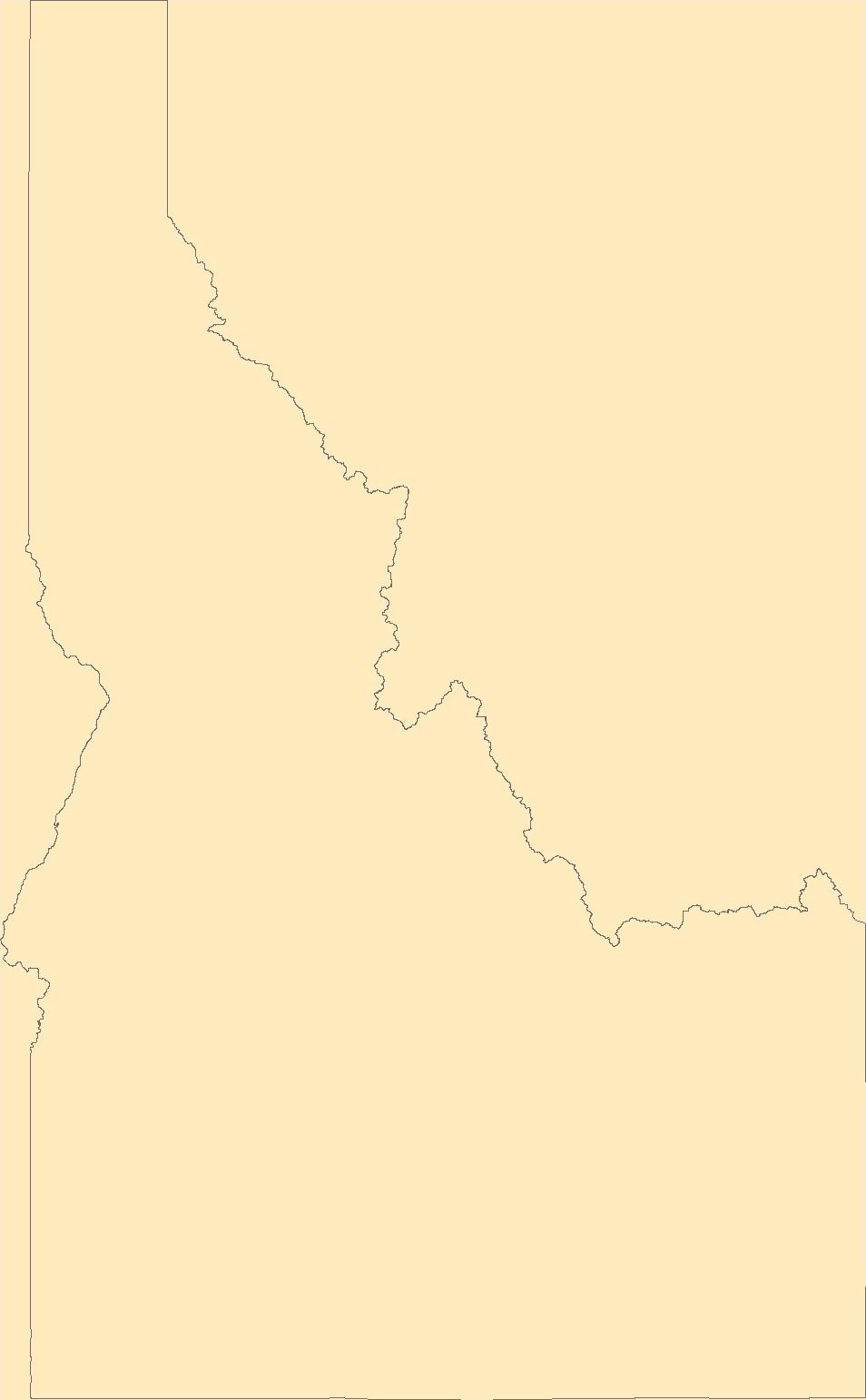
The Geographic Names Information System (GNIS) is the Federal standard for geographic nomenclature. The U.S. Geological Survey developed the GNIS for the U.S. Board on Geographic Names, a Federal inter-agency body chartered by public law to maintain uniform feature name usage throughout the Government and to promulgate standard names to the public. The GNIS is the official repository of domestic geographic names data; the official vehicle for geographic names use by all departments of the Federal Government; and the source for applying geographic names to Federal electronic and printed products of all types.
Tags: Adams,
Antarctica,
Antarctica,
Asotin,
BGN, All tags...
Benton,
Board on Geographic Names,
Borough,
Census Area,
Chelan,
Clallam,
Clark,
Columbia,
Commonwealth,
County,
Cowlitz,
District,
Douglas,
Downloadable Data,
Feature class,
Feature coordinates,
Feature county,
Feature description,
Feature designation,
Feature history,
Feature indentification,
Feature name,
Feature state,
Ferry,
Franklin,
GNIS,
Garfield,
Geographic Names,
Geographic Names Domestic Names,
Geographic Names Information System,
Geographic feature,
Geographic name,
Geographical feature,
Geographical name,
Grant,
Grays Harbor,
Island,
Jefferson,
King,
Kitsap,
Kittitas,
Klickitat,
Lewis,
Lincoln,
Mason,
Municipio,
National Geographic Names Information System (GNIS),
National Geographic Names Information System (GNIS),
Official feature name,
Okanogan,
Outlying Area,
Pacific,
Parish,
Pend Oreille,
Pierce,
Place name,
Populated Place,
San Juan,
Skagit,
Skamania,
Snohomish,
Spokane,
State,
Stevens,
TXT (pipes),
Territories,
Territory,
Thurston,
Topographic Map,
U.S. Board on Geographic Names,
U.S. Geological Survey,
US,
USA,
USBGN,
USGS,
UTF-8 Pipe Delimited Text File nan,
United States,
United States,
United States,
Variant name,
WA,
Wahkiakum,
Walla Walla,
Washington,
Whatcom,
Whitman,
Yakima,
antarctic,
database,
economy,
environment,
feature,
gazetteer,
geographic,
geographic names,
geographical,
geography,
geospatial,
imageryBaseMapsEarthCover,
inlandWaters,
location,
map,
name,
place,
placename,
society,
structure,
topographic map,
toponymy, Fewer tags
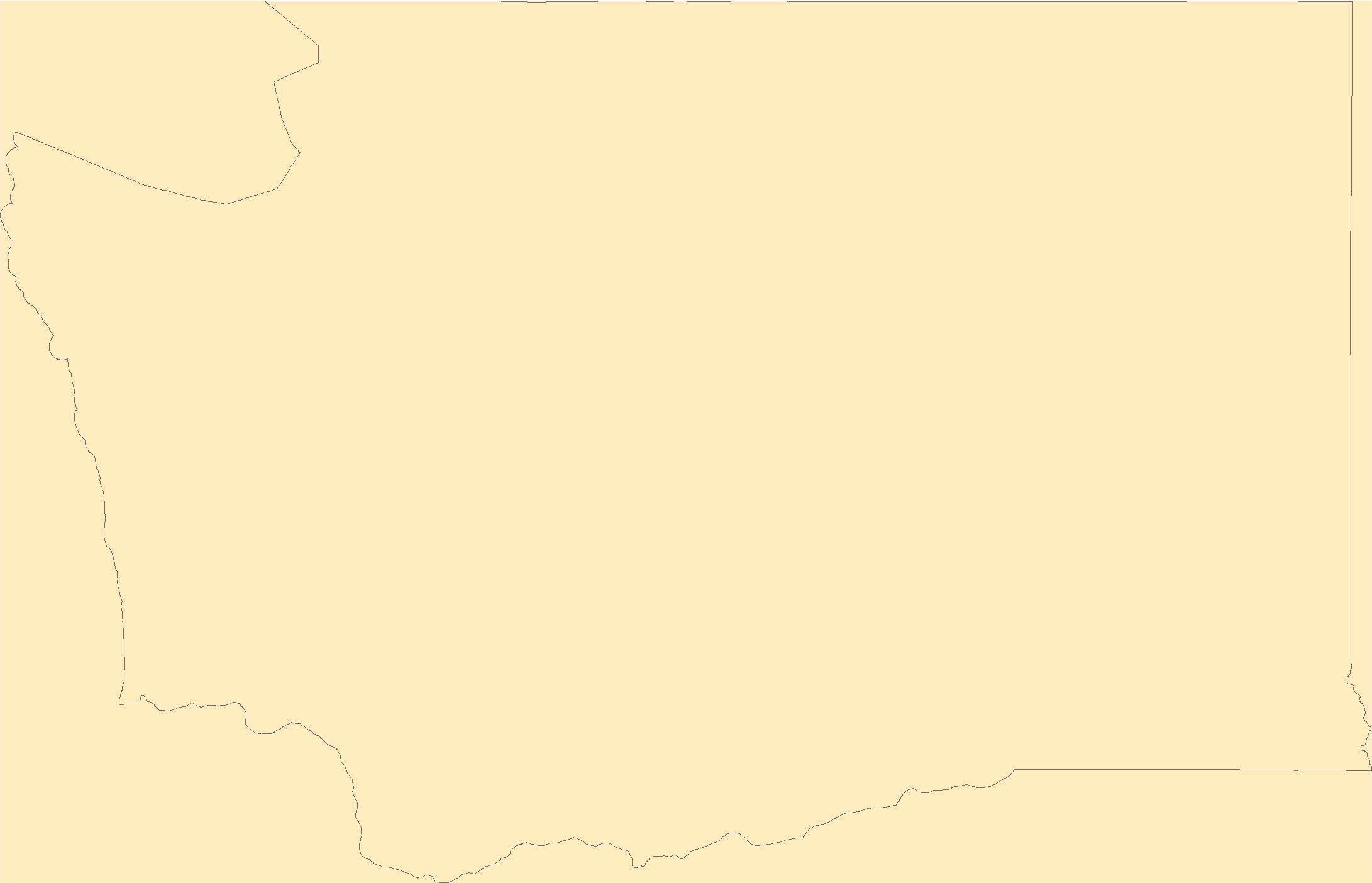
The Geographic Names Information System (GNIS) is the Federal standard for geographic nomenclature. The U.S. Geological Survey developed the GNIS for the U.S. Board on Geographic Names, a Federal inter-agency body chartered by public law to maintain uniform feature name usage throughout the Government and to promulgate standard names to the public. The GNIS is the official repository of domestic geographic names data; the official vehicle for geographic names use by all departments of the Federal Government; and the source for applying geographic names to Federal electronic and printed products of all types.
Tags: Albany,
Allegany,
Antarctica,
Antarctica,
BGN, All tags...
Board on Geographic Names,
Borough,
Bronx,
Broome,
Cattaraugus,
Cayuga,
Census Area,
Chautauqua,
Chemung,
Chenango,
Clinton,
Columbia,
Commonwealth,
Cortland,
County,
Delaware,
District,
Downloadable Data,
Dutchess,
Erie,
Essex,
Feature class,
Feature coordinates,
Feature county,
Feature description,
Feature designation,
Feature history,
Feature indentification,
Feature name,
Feature state,
Franklin,
Fulton,
GNIS,
Genesee,
Geographic Names,
Geographic Names Domestic Names,
Geographic Names Information System,
Geographic feature,
Geographic name,
Geographical feature,
Geographical name,
Greene,
Hamilton,
Herkimer,
Jefferson,
Kings,
Lewis,
Livingston,
Madison,
Monroe,
Montgomery,
Municipio,
NY,
Nassau,
National Geographic Names Information System (GNIS),
National Geographic Names Information System (GNIS),
New York,
New York,
Niagara,
Official feature name,
Oneida,
Onondaga,
Ontario,
Orange,
Orleans,
Oswego,
Otsego,
Outlying Area,
Parish,
Place name,
Populated Place,
Putnam,
Queens,
Rensselaer,
Richmond,
Rockland,
Saratoga,
Schenectady,
Schoharie,
Schuyler,
Seneca,
St. Lawrence,
State,
Steuben,
Suffolk,
Sullivan,
TXT (pipes),
Territories,
Territory,
Tioga,
Tompkins,
Topographic Map,
U.S. Board on Geographic Names,
U.S. Geological Survey,
US,
USA,
USBGN,
USGS,
UTF-8 Pipe Delimited Text File nan,
Ulster,
United States,
United States,
United States,
Variant name,
Warren,
Washington,
Wayne,
Westchester,
Wyoming,
Yates,
antarctic,
database,
economy,
environment,
feature,
gazetteer,
geographic,
geographic names,
geographical,
geography,
geospatial,
imageryBaseMapsEarthCover,
inlandWaters,
location,
map,
name,
place,
placename,
society,
structure,
topographic map,
toponymy, Fewer tags
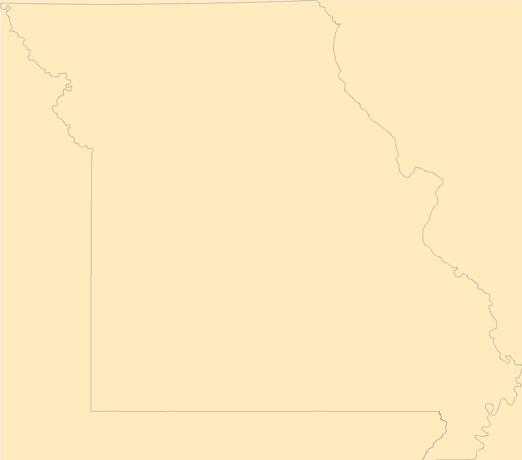
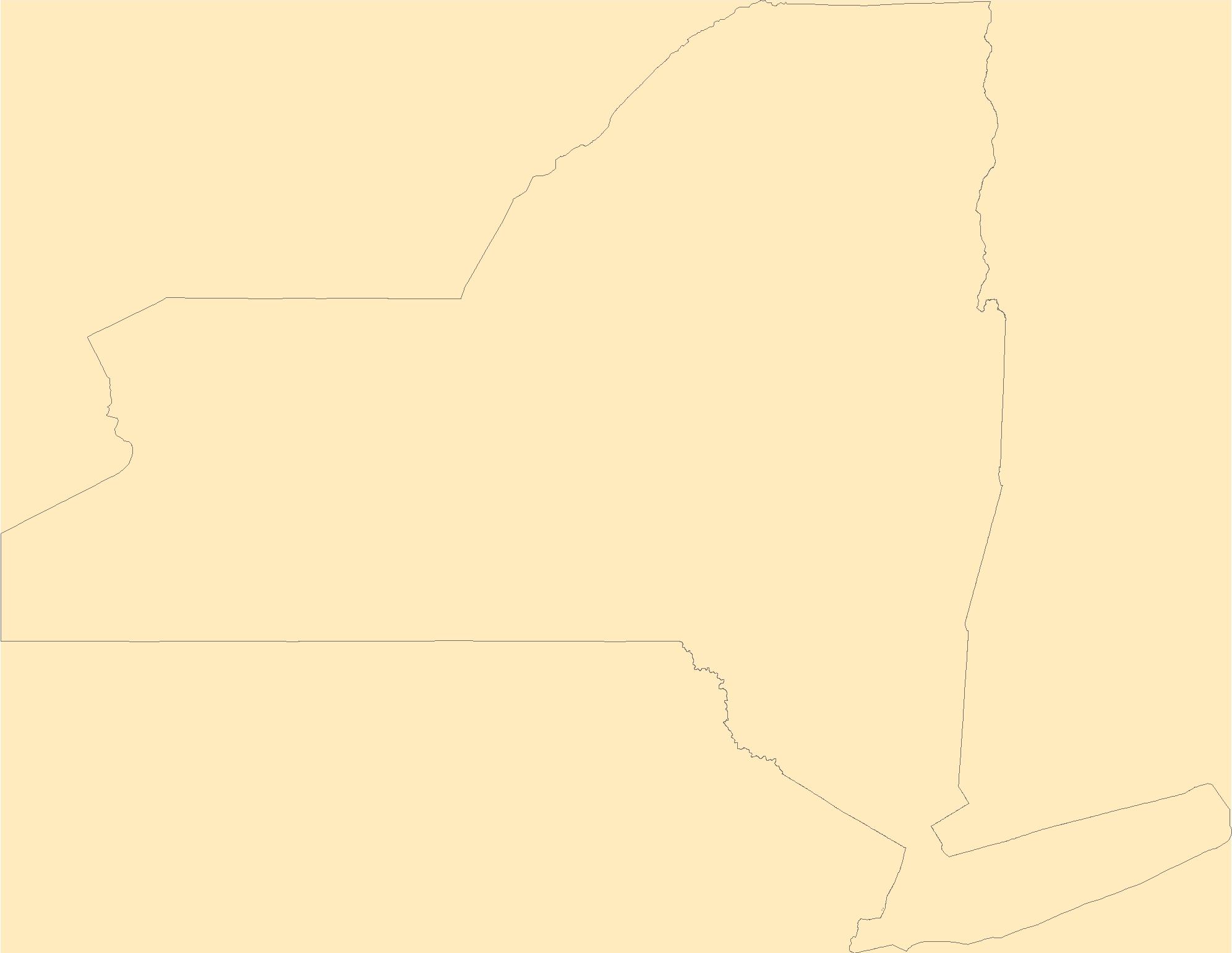
The Geographic Names Information System (GNIS) is the Federal standard for geographic nomenclature. The U.S. Geological Survey developed the GNIS for the U.S. Board on Geographic Names, a Federal inter-agency body chartered by public law to maintain uniform feature name usage throughout the Government and to promulgate standard names to the public. The GNIS is the official repository of domestic geographic names data; the official vehicle for geographic names use by all departments of the Federal Government; and the source for applying geographic names to Federal electronic and printed products of all types.
Tags: Adair,
Andrew,
Antarctica,
Antarctica,
Atchison, All tags...
Audrain,
BGN,
Barry,
Barton,
Bates,
Benton,
Board on Geographic Names,
Bollinger,
Boone,
Borough,
Buchanan,
Butler,
Caldwell,
Callaway,
Camden,
Cape Girardeau,
Carroll,
Carter,
Cass,
Cedar,
Census Area,
Chariton,
Christian,
Clark,
Clay,
Clinton,
Cole,
Commonwealth,
Cooper,
County,
Crawford,
Dade,
Dallas,
Daviess,
DeKalb,
Dent,
District,
Douglas,
Downloadable Data,
Dunklin,
Feature class,
Feature coordinates,
Feature county,
Feature description,
Feature designation,
Feature history,
Feature indentification,
Feature name,
Feature state,
Franklin,
GNIS,
Gasconade,
Gentry,
Geographic Names,
Geographic Names Domestic Names,
Geographic Names Information System,
Geographic feature,
Geographic name,
Geographical feature,
Geographical name,
Greene,
Grundy,
Harrison,
Henry,
Hickory,
Holt,
Howard,
Howell,
Iron,
Jackson,
Jasper,
Jefferson,
Johnson,
Knox,
Laclede,
Lafayette,
Lawrence,
Lewis,
Lincoln,
Linn,
Livingston,
MO,
Macon,
Madison,
Maries,
Marion,
McDonald,
Mercer,
Miller,
Mississippi,
Missouri,
Moniteau,
Monroe,
Montgomery,
Morgan,
Municipio,
National Geographic Names Information System (GNIS),
National Geographic Names Information System (GNIS),
New Madrid,
Newton,
Nodaway,
Official feature name,
Oregon,
Osage,
Outlying Area,
Ozark,
Parish,
Pemiscot,
Perry,
Pettis,
Phelps,
Pike,
Place name,
Platte,
Polk,
Populated Place,
Pulaski,
Putnam,
Ralls,
Randolph,
Ray,
Reynolds,
Ripley,
Saline,
Schuyler,
Scotland,
Scott,
Shannon,
Shelby,
St. Charles,
St. Clair,
St. Francois,
St. Louis,
State,
Ste. Genevieve,
Stoddard,
Stone,
Sullivan,
TXT (pipes),
Taney,
Territories,
Territory,
Texas,
Topographic Map,
U.S. Board on Geographic Names,
U.S. Geological Survey,
US,
USA,
USBGN,
USGS,
UTF-8 Pipe Delimited Text File nan,
United States,
United States,
United States,
Variant name,
Vernon,
Warren,
Washington,
Wayne,
Webster,
Worth,
Wright,
antarctic,
database,
economy,
environment,
feature,
gazetteer,
geographic,
geographic names,
geographical,
geography,
geospatial,
imageryBaseMapsEarthCover,
inlandWaters,
location,
map,
name,
place,
placename,
society,
structure,
topographic map,
toponymy, Fewer tags
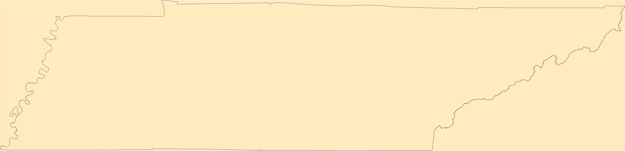
The Geographic Names Information System (GNIS) is the Federal standard for geographic nomenclature. The U.S. Geological Survey developed the GNIS for the U.S. Board on Geographic Names, a Federal inter-agency body chartered by public law to maintain uniform feature name usage throughout the Government and to promulgate standard names to the public. The GNIS is the official repository of domestic geographic names data; the official vehicle for geographic names use by all departments of the Federal Government; and the source for applying geographic names to Federal electronic and printed products of all types.
Tags: Anderson,
Antarctica,
Antarctica,
BGN,
Bedford, All tags...
Benton,
Bledsoe,
Blount,
Board on Geographic Names,
Borough,
Bradley,
Campbell,
Cannon,
Carroll,
Carter,
Census Area,
Cheatham,
Chester,
Claiborne,
Clay,
Cocke,
Coffee,
Commonwealth,
County,
Crockett,
Cumberland,
Davidson,
DeKalb,
Decatur,
Dickson,
District,
Downloadable Data,
Dyer,
Fayette,
Feature class,
Feature coordinates,
Feature county,
Feature description,
Feature designation,
Feature history,
Feature indentification,
Feature name,
Feature state,
Fentress,
Franklin,
GNIS,
Geographic Names,
Geographic Names Domestic Names,
Geographic Names Information System,
Geographic feature,
Geographic name,
Geographical feature,
Geographical name,
Gibson,
Giles,
Grainger,
Greene,
Grundy,
Hamblen,
Hamilton,
Hancock,
Hardeman,
Hardin,
Hawkins,
Haywood,
Henderson,
Henry,
Hickman,
Houston,
Humphreys,
Jackson,
Jefferson,
Johnson,
Knox,
Lake,
Lauderdale,
Lawrence,
Lewis,
Lincoln,
Loudon,
Macon,
Madison,
Marion,
Marshall,
Maury,
McMinn,
McNairy,
Meigs,
Monroe,
Montgomery,
Moore,
Morgan,
Municipio,
National Geographic Names Information System (GNIS),
National Geographic Names Information System (GNIS),
Obion,
Official feature name,
Outlying Area,
Overton,
Parish,
Perry,
Pickett,
Place name,
Polk,
Populated Place,
Putnam,
Rhea,
Roane,
Robertson,
Rutherford,
Scott,
Sequatchie,
Sevier,
Shelby,
Smith,
State,
Stewart,
Sullivan,
Sumner,
TN,
TXT (pipes),
Tennessee,
Territories,
Territory,
Tipton,
Topographic Map,
Trousdale,
U.S. Board on Geographic Names,
U.S. Geological Survey,
US,
USA,
USBGN,
USGS,
UTF-8 Pipe Delimited Text File nan,
Unicoi,
Union,
United States,
United States,
United States,
Van Buren,
Variant name,
Warren,
Washington,
Wayne,
Weakley,
White,
Williamson,
Wilson,
antarctic,
database,
economy,
environment,
feature,
gazetteer,
geographic,
geographic names,
geographical,
geography,
geospatial,
imageryBaseMapsEarthCover,
inlandWaters,
location,
map,
name,
place,
placename,
society,
structure,
topographic map,
toponymy, Fewer tags
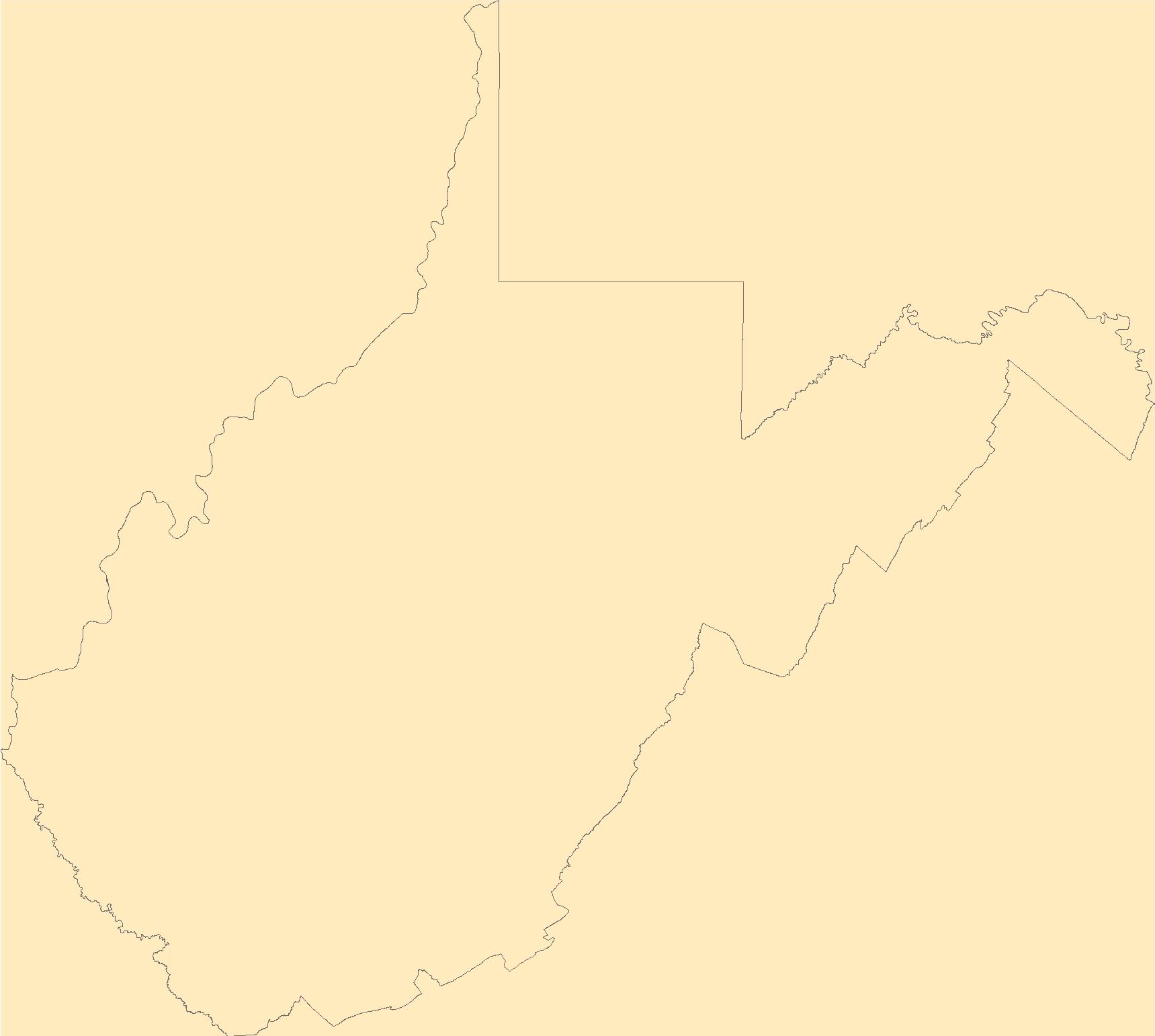
The Geographic Names Information System (GNIS) is the Federal standard for geographic nomenclature. The U.S. Geological Survey developed the GNIS for the U.S. Board on Geographic Names, a Federal inter-agency body chartered by public law to maintain uniform feature name usage throughout the Government and to promulgate standard names to the public. The GNIS is the official repository of domestic geographic names data; the official vehicle for geographic names use by all departments of the Federal Government; and the source for applying geographic names to Federal electronic and printed products of all types.
Tags: Antarctica,
Antarctica,
BGN,
Barbour,
Berkeley, All tags...
Board on Geographic Names,
Boone,
Borough,
Braxton,
Brooke,
Cabell,
Calhoun,
Census Area,
Clay,
Commonwealth,
County,
District,
Doddridge,
Downloadable Data,
Fayette,
Feature class,
Feature coordinates,
Feature county,
Feature description,
Feature designation,
Feature history,
Feature indentification,
Feature name,
Feature state,
GNIS,
Geographic Names,
Geographic Names Domestic Names,
Geographic Names Information System,
Geographic feature,
Geographic name,
Geographical feature,
Geographical name,
Gilmer,
Grant,
Greenbrier,
Hampshire,
Hancock,
Hardy,
Harrison,
Jackson,
Jefferson,
Kanawha,
Lewis,
Lincoln,
Logan,
Marion,
Marshall,
Mason,
McDowell,
Mercer,
Mineral,
Mingo,
Monongalia,
Monroe,
Morgan,
Municipio,
National Geographic Names Information System (GNIS),
National Geographic Names Information System (GNIS),
Nicholas,
Official feature name,
Ohio,
Outlying Area,
Parish,
Pendleton,
Place name,
Pleasants,
Pocahontas,
Populated Place,
Preston,
Putnam,
Raleigh,
Randolph,
Ritchie,
Roane,
State,
Summers,
TXT (pipes),
Taylor,
Territories,
Territory,
Topographic Map,
Tucker,
Tyler,
U.S. Board on Geographic Names,
U.S. Geological Survey,
US,
USA,
USBGN,
USGS,
UTF-8 Pipe Delimited Text File nan,
United States,
United States,
United States,
Upshur,
Variant name,
WV,
Wayne,
Webster,
West Virginia,
Wetzel,
Wirt,
Wood,
Wyoming,
antarctic,
database,
economy,
environment,
feature,
gazetteer,
geographic,
geographic names,
geographical,
geography,
geospatial,
imageryBaseMapsEarthCover,
inlandWaters,
location,
map,
name,
place,
placename,
society,
structure,
topographic map,
toponymy, Fewer tags
|
|

