|
|
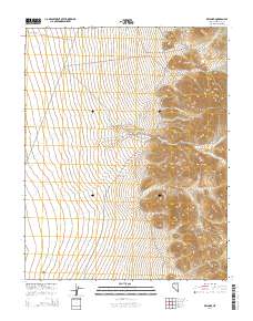
Layered GeoPDF 7.5 Minute Quadrangle Map. Layers of geospatial data include orthoimagery, roads, grids, geographic names, elevation contours, hydrography, and other selected map features.
Tags: 7.5 x 7.5 minute,
Delamar, NV,
Downloadable Data,
EarthCover,
GeoPDF, All tags...
Imagery and Base Maps,
Lincoln,
Map,
Nevada,
Public Land Survey System,
U.S. National Grid,
US,
US Topo,
US Topo Historical,
United States,
boundary,
contour,
geographic names,
hydrography,
imageryBaseMapsEarthCover,
orthoimage,
structures,
topographic,
transportation,
woodland, Fewer tags
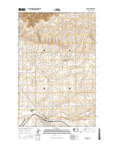
Layered geospatial PDF Map. Layers of geospatial data include orthoimagery, roads, grids, geographic names, elevation contours, hydrography, and other selected map features.
Tags: 7.5 x 7.5 minute,
Downloadable Data,
EarthCover,
GeoPDF,
Imagery and Base Maps, All tags...
Lincoln,
Map,
Public Land Survey System,
U.S. National Grid,
US,
US Topo,
US Topo Historical,
United States,
Washington,
Wilbur, WA,
boundary,
contour,
geographic names,
hydrography,
imageryBaseMapsEarthCover,
orthoimage,
structures,
topographic,
transportation,
woodland, Fewer tags
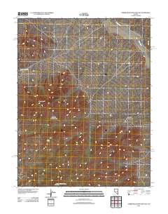
Layered GeoPDF 7.5 Minute Quadrangle Map. Layers of geospatial data include orthoimagery, roads, grids, geographic names, elevation contours, hydrography, and other selected map features.
Tags: 7.5 x 7.5 minute,
Downloadable Data,
EarthCover,
GeoPDF,
Imagery and Base Maps, All tags...
Lincoln,
Map,
Nevada,
Nye,
Timber Mountain Pass East, NV,
U.S. National Grid,
US,
US Topo,
US Topo Historical,
United States,
contour,
geographic names,
hydrography,
imageryBaseMapsEarthCover,
orthoimage,
structures,
topographic,
transportation, Fewer tags
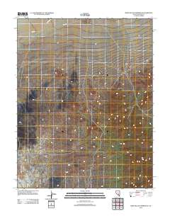
Layered GeoPDF 7.5 Minute Quadrangle Map. Layers of geospatial data include orthoimagery, roads, grids, geographic names, elevation contours, hydrography, and other selected map features.
Tags: 7.5 x 7.5 minute,
Downloadable Data,
EarthCover,
GeoPDF,
Imagery and Base Maps, All tags...
Lincoln,
Map,
Nevada,
U.S. National Grid,
US,
US Topo,
US Topo Historical,
United States,
White Blotch Springs SE, NV,
contour,
geographic names,
hydrography,
imageryBaseMapsEarthCover,
orthoimage,
structures,
topographic,
transportation, Fewer tags
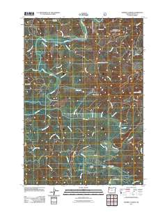
Layered GeoPDF 7.5 Minute Quadrangle Map. Layers of geospatial data include orthoimagery, roads, grids, geographic names, elevation contours, hydrography, and other selected map features.
Tags: 7.5 x 7.5 minute,
Downloadable Data,
EarthCover,
GeoPDF,
Imagery and Base Maps, All tags...
Lincoln,
Map,
Mowrey Landing, OR,
Oregon,
U.S. National Grid,
US,
US Topo,
US Topo Historical,
United States,
contour,
geographic names,
hydrography,
imageryBaseMapsEarthCover,
orthoimage,
structures,
topographic,
transportation, Fewer tags
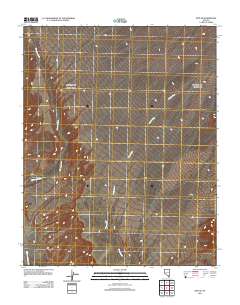
Layered GeoPDF 7.5 Minute Quadrangle Map. Layers of geospatial data include orthoimagery, roads, grids, geographic names, elevation contours, hydrography, and other selected map features.
Tags: 7.5 x 7.5 minute,
Clark,
Downloadable Data,
EarthCover,
GeoPDF, All tags...
Imagery and Base Maps,
Lincoln,
Map,
Nevada,
Rox SE, NV,
U.S. National Grid,
US,
US Topo,
US Topo Historical,
United States,
contour,
geographic names,
hydrography,
imageryBaseMapsEarthCover,
orthoimage,
structures,
topographic,
transportation, Fewer tags
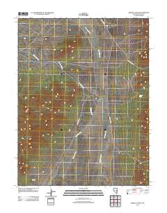
Layered GeoPDF 7.5 Minute Quadrangle Map. Layers of geospatial data include orthoimagery, roads, grids, geographic names, elevation contours, hydrography, and other selected map features.
Tags: 7.5 x 7.5 minute,
Downloadable Data,
EarthCover,
GeoPDF,
Imagery and Base Maps, All tags...
Lincoln,
Map,
Nevada,
Shingle Pass SE, NV,
U.S. National Grid,
US,
US Topo,
US Topo Historical,
United States,
contour,
geographic names,
hydrography,
imageryBaseMapsEarthCover,
orthoimage,
structures,
topographic,
transportation, Fewer tags
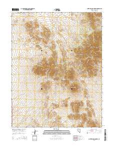
Layered GeoPDF 7.5 Minute Quadrangle Map. Layers of geospatial data include orthoimagery, roads, grids, geographic names, elevation contours, hydrography, and other selected map features.
Tags: 7.5 x 7.5 minute,
Downloadable Data,
EarthCover,
GeoPDF,
Imagery and Base Maps, All tags...
Lincoln,
Map,
Nevada,
Public Land Survey System,
Silver King Mountain, NV,
U.S. National Grid,
US,
US Topo,
US Topo Historical,
United States,
boundary,
contour,
geographic names,
hydrography,
imageryBaseMapsEarthCover,
orthoimage,
structures,
topographic,
transportation,
woodland, Fewer tags
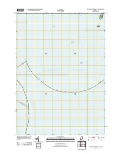
Layered GeoPDF 7.5 Minute Quadrangle Map. Layers of geospatial data include orthoimagery, roads, grids, geographic names, elevation contours, hydrography, and other selected map features.
Tags: 7.5 x 7.5 minute,
Downloadable Data,
EarthCover,
GeoPDF,
Imagery and Base Maps, All tags...
Knox,
Lincoln,
Maine,
Map,
Tenants Harbor OE S, ME,
U.S. National Grid,
US,
US Topo,
US Topo Historical,
United States,
contour,
geographic names,
hydrography,
imageryBaseMapsEarthCover,
orthoimage,
structures,
topographic,
transportation, Fewer tags
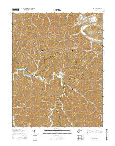
Layered GeoPDF 7.5 Minute Quadrangle Map. Layers of geospatial data include orthoimagery, roads, grids, geographic names, elevation contours, hydrography, and other selected map features.
Tags: 7.5 x 7.5 minute,
Cabell,
Downloadable Data,
EarthCover,
GeoPDF, All tags...
Imagery and Base Maps,
Lincoln,
Map,
Public Land Survey System,
U.S. National Grid,
US,
US Topo,
US Topo Historical,
United States,
Wayne,
West Virginia,
Winslow, WV,
boundary,
contour,
geographic names,
hydrography,
imageryBaseMapsEarthCover,
orthoimage,
structures,
topographic,
transportation,
woodland, Fewer tags
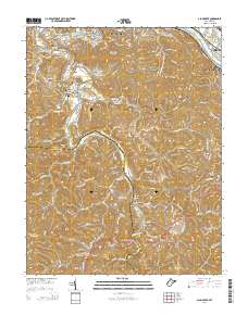
Layered GeoPDF 7.5 Minute Quadrangle Map. Layers of geospatial data include orthoimagery, roads, grids, geographic names, elevation contours, hydrography, and other selected map features.
Tags: 7.5 x 7.5 minute,
Alum Creek, WV,
Downloadable Data,
EarthCover,
GeoPDF, All tags...
Imagery and Base Maps,
Kanawha,
Lincoln,
Map,
Public Land Survey System,
U.S. National Grid,
US,
US Topo,
US Topo Historical,
United States,
West Virginia,
boundary,
contour,
geographic names,
hydrography,
imageryBaseMapsEarthCover,
orthoimage,
structures,
topographic,
transportation,
woodland, Fewer tags
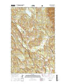
Layered geospatial PDF Map. Layers of geospatial data include orthoimagery, roads, grids, geographic names, elevation contours, hydrography, and other selected map features.
Tags: 7.5 x 7.5 minute,
Downloadable Data,
EarthCover,
Fortine, MT,
GeoPDF, All tags...
Imagery and Base Maps,
Lincoln,
Map,
Montana,
Public Land Survey System,
U.S. National Grid,
US,
US Topo,
US Topo Historical,
United States,
boundary,
contour,
geographic names,
hydrography,
imageryBaseMapsEarthCover,
orthoimage,
structures,
topographic,
transportation,
woodland, Fewer tags
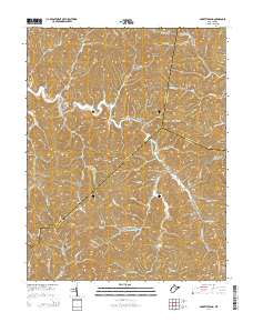
Layered GeoPDF 7.5 Minute Quadrangle Map. Layers of geospatial data include orthoimagery, roads, grids, geographic names, elevation contours, hydrography, and other selected map features.
Tags: 7.5 x 7.5 minute,
Downloadable Data,
EarthCover,
Garretts Bend, WV,
GeoPDF, All tags...
Imagery and Base Maps,
Kanawha,
Lincoln,
Map,
Public Land Survey System,
Putnam,
U.S. National Grid,
US,
US Topo,
US Topo Historical,
United States,
West Virginia,
boundary,
contour,
geographic names,
hydrography,
imageryBaseMapsEarthCover,
orthoimage,
structures,
topographic,
transportation,
woodland, Fewer tags
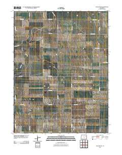
Layered GeoPDF 7.5 Minute Quadrangle Map. Layers of geospatial data include orthoimagery, roads, grids, geographic names, elevation contours, hydrography, and other selected map features.
Tags: 7.5 x 7.5 minute,
Colorado,
Downloadable Data,
EarthCover,
Flagler NW, CO, All tags...
GeoPDF,
Imagery and Base Maps,
Kit Carson,
Lincoln,
Map,
U.S. National Grid,
US,
US Topo,
US Topo Historical,
United States,
contour,
geographic names,
hydrography,
imageryBaseMapsEarthCover,
orthoimage,
topographic,
transportation, Fewer tags
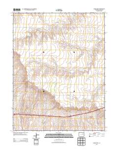
Layered GeoPDF 7.5 Minute Quadrangle Map. Layers of geospatial data include orthoimagery, roads, grids, geographic names, elevation contours, hydrography, and other selected map features.
Tags: 7.5 x 7.5 minute,
Colorado,
Downloadable Data,
EarthCover,
Genoa West, CO, All tags...
GeoPDF,
Imagery and Base Maps,
Lincoln,
Map,
Public Land Survey System,
U.S. National Grid,
US,
US Topo,
US Topo Historical,
United States,
boundary,
contour,
geographic names,
hydrography,
imageryBaseMapsEarthCover,
orthoimage,
structures,
topographic,
transportation,
woodland, Fewer tags
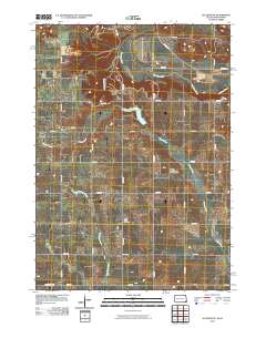
Layered GeoPDF 7.5 Minute Quadrangle Map. Layers of geospatial data include orthoimagery, roads, grids, geographic names, elevation contours, hydrography, and other selected map features.
Tags: 7.5 x 7.5 minute,
Alcester NE, SD-IA,
Downloadable Data,
EarthCover,
GeoPDF, All tags...
Imagery and Base Maps,
Iowa,
Lincoln,
Map,
Sioux,
South Dakota,
U.S. National Grid,
US,
US Topo,
US Topo Historical,
United States,
contour,
geographic names,
hydrography,
orthoimage,
topographic,
transportation, Fewer tags
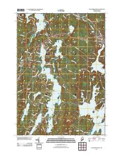
Layered GeoPDF 7.5 Minute Quadrangle Map. Layers of geospatial data include orthoimagery, roads, grids, geographic names, elevation contours, hydrography, and other selected map features.
Tags: 7.5 x 7.5 minute,
Downloadable Data,
EarthCover,
GeoPDF,
Imagery and Base Maps, All tags...
Lincoln,
Maine,
Map,
U.S. National Grid,
US,
US Topo,
US Topo Historical,
United States,
Waldoboro West, ME,
contour,
geographic names,
hydrography,
imageryBaseMapsEarthCover,
orthoimage,
structures,
topographic,
transportation, Fewer tags
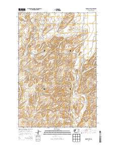
Layered GeoPDF 7.5 Minute Quadrangle Map. Layers of geospatial data include orthoimagery, roads, grids, geographic names, elevation contours, hydrography, and other selected map features.
Tags: 7.5 x 7.5 minute,
Downloadable Data,
EarthCover,
GeoPDF,
Imagery and Base Maps, All tags...
Lincoln,
Map,
Public Land Survey System,
Rocklyn SE, WA,
U.S. National Grid,
US,
US Topo,
US Topo Historical,
United States,
Washington,
boundary,
contour,
geographic names,
hydrography,
imageryBaseMapsEarthCover,
orthoimage,
structures,
topographic,
transportation,
woodland, Fewer tags
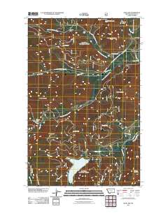
Layered GeoPDF 7.5 Minute Quadrangle Map. Layers of geospatial data include orthoimagery, roads, grids, geographic names, elevation contours, hydrography, and other selected map features.
Tags: 7.5 x 7.5 minute,
Downloadable Data,
EarthCover,
GeoPDF,
Imagery and Base Maps, All tags...
Lincoln,
Map,
Montana,
Spar Lake, MT,
U.S. National Grid,
US,
US Topo,
US Topo Historical,
United States,
contour,
geographic names,
hydrography,
imageryBaseMapsEarthCover,
orthoimage,
structures,
topographic,
transportation, Fewer tags
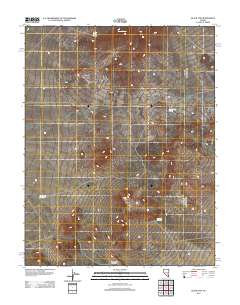
Layered GeoPDF 7.5 Minute Quadrangle Map. Layers of geospatial data include orthoimagery, roads, grids, geographic names, elevation contours, hydrography, and other selected map features.
Tags: 7.5 x 7.5 minute,
Black Top, NV,
Downloadable Data,
EarthCover,
GeoPDF, All tags...
Imagery and Base Maps,
Lincoln,
Map,
Nevada,
Nye,
U.S. National Grid,
US,
US Topo,
US Topo Historical,
United States,
contour,
geographic names,
hydrography,
imageryBaseMapsEarthCover,
orthoimage,
structures,
topographic,
transportation, Fewer tags
|
|