Filters
Date Range
Contacts
Tag Types
Tag Schemes
|
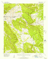
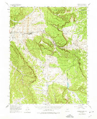
USGS Historical Quadrangle in GeoPDF.
Tags: 15 x 15 minute,
Downloadable Data,
GeoPDF,
GeoTIFF,
Historical Topographic Maps, All tags...
Historical Topographic Maps 15 x 15 Minute Map Series,
Lumberton,
Map,
NM,
imageryBaseMapsEarthCover, Fewer tags
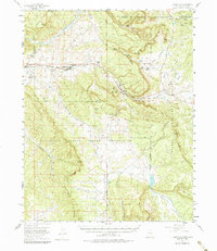
USGS Historical Quadrangle in GeoPDF.
Tags: 15 x 15 minute,
Downloadable Data,
GeoPDF,
GeoTIFF,
Historical Topographic Maps, All tags...
Historical Topographic Maps 15 x 15 Minute Map Series,
Lumberton,
Map,
NM,
imageryBaseMapsEarthCover, Fewer tags
These polygon boundaries, inundation extents, and depth rasters were created to provide an extent of flood inundation along the Lumber River within the community of Lumberton, North Carolina. The upstream and downstream reach extent is determined by the location of high-water marks, not extending the boundary far past the outermost high-water marks. In areas of uncertainty of flood extent, the model boundary is lined up with the flood inundation polygon extent. This boundary polygon was used to extract the final flood inundation polygon and depth layer from the flood water surface raster file. The passage of Hurricane Matthew through central and eastern North Carolina during October 7-9, 2016, brought heavy rainfall...
Tags: Lumberton,
North Carolina,
boundary,
extent,
flood, All tags...
flood inundation maps,
flooded area,
geospatial analysis,
high-water marks,
river/stream,
study area, Fewer tags
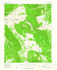
USGS Historical Quadrangle in GeoPDF.
Tags: 15 x 15 minute,
Downloadable Data,
GeoPDF,
GeoTIFF,
Historical Topographic Maps, All tags...
Historical Topographic Maps 15 x 15 Minute Map Series,
Lumberton,
Map,
NM,
imageryBaseMapsEarthCover, Fewer tags
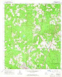
USGS Historical Quadrangle in GeoPDF.
Tags: 7.5 x 7.5 minute,
Downloadable Data,
GeoPDF,
GeoTIFF,
Historical Topographic Maps, All tags...
Historical Topographic Maps 7.5 x 7.5 Minute Map Series,
Lumberton,
MS,
Map,
imageryBaseMapsEarthCover, Fewer tags
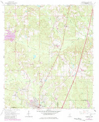
USGS Historical Quadrangle in GeoPDF.
Tags: 7.5 x 7.5 minute,
Downloadable Data,
GeoPDF,
GeoTIFF,
Historical Topographic Maps, All tags...
Historical Topographic Maps 7.5 x 7.5 Minute Map Series,
Lumberton,
MS,
Map,
imageryBaseMapsEarthCover, Fewer tags
USGS Historical Quadrangle in GeoPDF.
Tags: 15 x 15 minute,
Downloadable Data,
GeoPDF,
GeoTIFF,
Historical Topographic Maps, All tags...
Historical Topographic Maps 15 x 15 Minute Map Series,
Lumberton,
Map,
NM,
imageryBaseMapsEarthCover, Fewer tags
|
|

