Filters
Date Range
Extensions
Types
Contacts
Categories
Tag Types
Tag Schemes
|
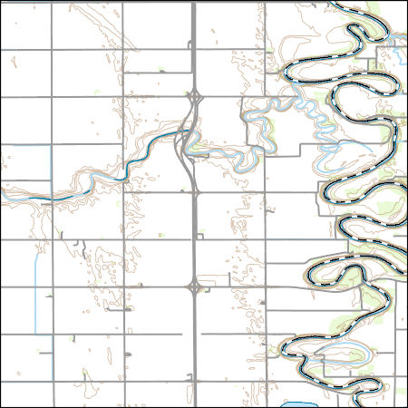
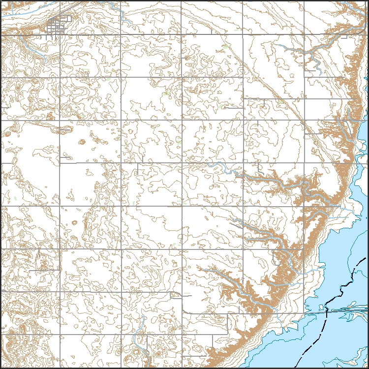
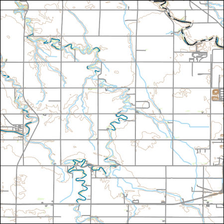
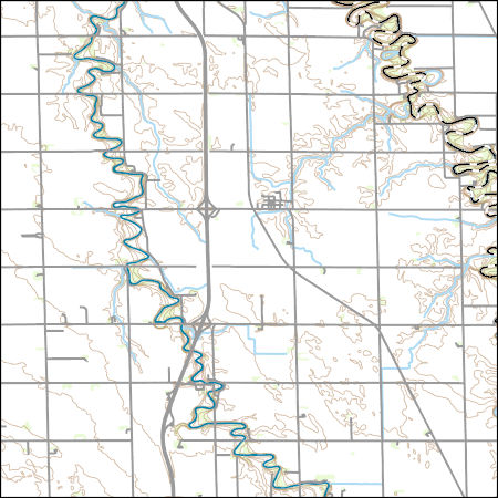
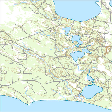
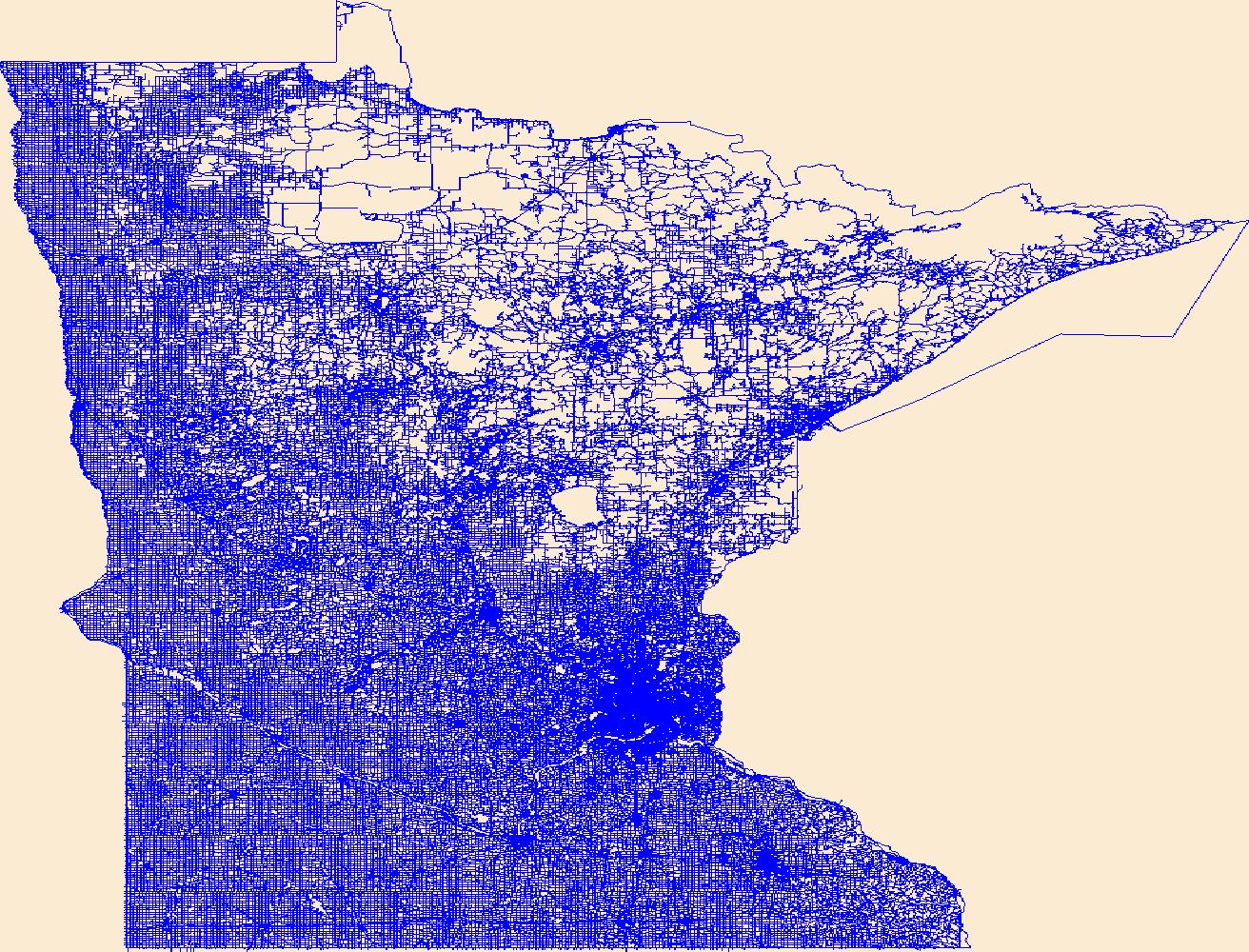
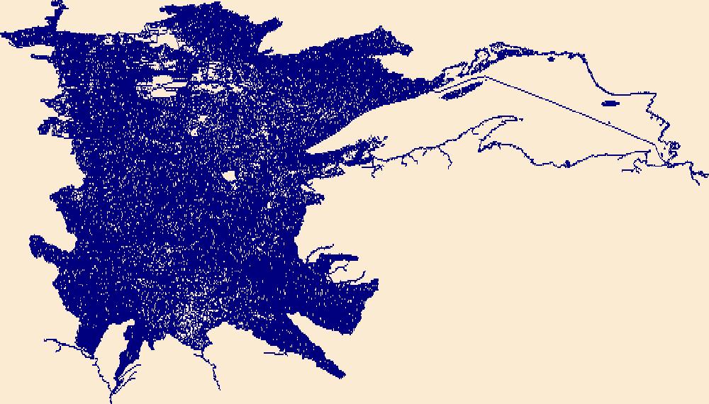
Layers of geospatial data include contours, boundaries, land cover, hydrography, roads, transportation, geographic names, structures, and other selected map features.
Types: Citation;
Tags: 7.5 x 7.5 minute,
7.5 x 7.5 minute,
Combined Vector,
Combined Vector,
Combined Vector, All tags...
Downloadable Data,
MN,
Marshall County,
Minnesota,
ND,
North Dakota,
Public Land Survey System,
Shapefile,
Shapefile,
US,
United States,
Walsh County,
boundary,
contours,
geographic names,
hydrography,
structures,
transportation,
woodland, Fewer tags

Layers of geospatial data include contours, boundaries, land cover, hydrography, roads, transportation, geographic names, structures, and other selected map features.
Types: Citation;
Tags: 7.5 x 7.5 minute,
7.5 x 7.5 minute,
Combined Vector,
Combined Vector,
Combined Vector, All tags...
Downloadable Data,
FileGDB 10.1,
FileGDB 10.1,
MN,
Marshall County,
Minnesota,
ND,
North Dakota,
Public Land Survey System,
US,
United States,
Walsh County,
boundary,
contours,
geographic names,
hydrography,
structures,
transportation,
woodland, Fewer tags
Layers of geospatial data include contours, boundaries, land cover, hydrography, roads, transportation, geographic names, structures, and other selected map features.
Types: Citation;
Tags: 7.5 x 7.5 minute,
7.5 x 7.5 minute,
Combined Vector,
Combined Vector,
Combined Vector, All tags...
Cook County,
Downloadable Data,
FileGDB 10.1,
FileGDB 10.1,
Keweenaw County,
MI,
MN,
Michigan,
Minnesota,
Public Land Survey System,
US,
United States,
boundary,
contours,
geographic names,
hydrography,
structures,
transportation,
woodland, Fewer tags
Layers of geospatial data include contours, boundaries, land cover, hydrography, roads, transportation, geographic names, structures, and other selected map features.
Tags: 7.5 x 7.5 minute,
7.5 x 7.5 minute,
Combined Vector,
Combined Vector,
Combined Vector, All tags...
Downloadable Data,
FileGDB 10.1,
FileGDB 10.1,
MN,
Minnesota,
Public Land Survey System,
Roberts County,
SD,
South Dakota,
Traverse County,
US,
United States,
boundary,
contours,
geographic names,
hydrography,
structures,
transportation,
woodland, Fewer tags

This dataset provides timeseries data on water quality and quantity, as collected or computed from outside sources. The format is many tables with one row per time series observation (1 tab-delimited file per site-variable combination, 1 zip file per site). This compilation of data is intended for use in estimating or interpreting metabolism. Sites were included if they met the initial criteria of having at least 100 dissolved oxygen observations and one of the accepted NWIS site types ('ST','ST-CA','ST-DCH','ST-TS', or 'SP'). This dataset is part of a larger data release of metabolism model inputs and outputs for 356 streams and rivers across the United States (https://doi.org/10.5066/F70864KX). The complete release...
Tags: 007,
012,
AK,
AL,
AR, All tags...
Aerobic respiration,
Alabama,
Alaska,
Arkansas,
CA,
CO,
CT,
California,
Carbon,
Carbon dioxide,
Colorado,
Connecticut,
DC,
DE,
Delaware,
Dissolved oxygen,
District of Columbia,
Energy metabolism,
FL,
Florida,
GA,
Gas exchange,
Georgia,
IA,
ID,
IL,
IN,
Idaho,
Illinois,
Indiana,
Iowa,
KS,
KY,
Kansas,
Kentucky,
LA,
Louisiana,
MA,
MD,
ME,
MI,
MN,
MO,
MS,
MT,
Maine,
Maryland,
Massachusetts,
Michigan,
Minnesota,
Mississippi,
Missouri,
Montana,
NC,
ND,
NE,
NJ,
NM,
NY,
Nebraska,
New Jersey,
New Mexico,
New York,
North Carolina,
North Dakota,
OH,
OK,
OR,
Ohio,
Oklahoma,
Oregon,
Oxygen,
PA,
PR,
Pennsylvania,
Photosynthesis,
Primary production,
Puerto Rico,
Rivers,
SC,
SD,
South Carolina,
South Dakota,
Streams,
TN,
TX,
Tennessee,
Texas,
US,
UT,
United States,
Utah,
VA,
Virginia,
WA,
WI,
WV,
WY,
Washington,
Water courses,
West Virginia,
Wisconsin,
Wyoming,
environment,
inlandWaters, Fewer tags
Layers of geospatial data include contours, boundaries, land cover, hydrography, roads, transportation, geographic names, structures, and other selected map features.
Types: Citation;
Tags: 7.5 x 7.5 minute,
7.5 x 7.5 minute,
Combined Vector,
Combined Vector,
Combined Vector, All tags...
Downloadable Data,
MN,
Minnesota,
ND,
North Dakota,
Public Land Survey System,
Richland County,
Shapefile,
Shapefile,
US,
United States,
Wilkin County,
boundary,
contours,
geographic names,
hydrography,
structures,
transportation,
woodland, Fewer tags
Layers of geospatial data include contours, boundaries, land cover, hydrography, roads, transportation, geographic names, structures, and other selected map features.
Types: Citation;
Tags: 7.5 x 7.5 minute,
7.5 x 7.5 minute,
Combined Vector,
Combined Vector,
Combined Vector, All tags...
Downloadable Data,
FileGDB 10.1,
FileGDB 10.1,
MN,
Minnesota,
ND,
North Dakota,
Public Land Survey System,
Richland County,
US,
United States,
Wilkin County,
boundary,
contours,
geographic names,
hydrography,
structures,
transportation,
woodland, Fewer tags

Geospatial data that is a derivative land cover product depicting woodland on topographic maps.
Tags: Agricultural land,
Barren land,
Downloadable Data,
FileGDB 10.1,
FileGDB 10.1, All tags...
Forest land,
Land Cover,
Land Cover - Woodland,
Land Cover - Woodland,
MN,
Minnesota,
Not Classified,
Orthoimage,
Range land,
State,
State,
US,
US,
United States,
United States,
Urban and built-up land,
Water,
Wetland,
Woodland,
annotations,
biota,
ecology,
environment,
farming,
flora,
habitat,
imagery,
imageryBaseMapsEarthCover,
land cover, Fewer tags
These vector contour lines are derived from the 3D Elevation Program using automated and semi-automated processes. They were created to support 1:24,000-scale CONUS and Hawaii, 1:25,000-scale Alaska, and 1:20,000-scale Puerto Rico / US Virgin Island topographic map products, but are also published in this GIS vector format. Contour intervals are assigned by 7.5-minute quadrangle, so this vector dataset is not visually seamless across quadrangle boundaries. The vector lines have elevation attributes (in feet above mean sea level on NAVD88), but this dataset does not carry line symbols or annotation.
Tags: 1 x 1 degree,
1 x 1 degree,
Big Stone County,
Chippewa County,
Codington County, All tags...
Downloadable Data,
Elevation,
Elevation Terrestrial,
FileGDB 10.1,
FileGDB 10.1,
Grant County,
Grant County,
Lac qui Parle County,
MN,
Minnesota,
ND,
National Elevation Dataset (NED),
National Elevation Dataset (NED) 1/3 arc-second - Contours,
National Elevation Dataset (NED) 1/3 arc-second - Contours,
North Dakota,
Richland County,
Roberts County,
SD,
South Dakota,
Stevens County,
Swift County,
Traverse County,
US,
US,
United States,
United States,
elevation,
ngda, Fewer tags
Layers of geospatial data include contours, boundaries, land cover, hydrography, roads, transportation, geographic names, structures, and other selected map features.
Types: Citation;
Tags: 7.5 x 7.5 minute,
7_5_Min,
Combined Vector,
Combined Vector,
Combined Vector, All tags...
Downloadable Data,
Esri File GeoDatabase 10,
FileGDB,
Itasca,
MN,
Minnesota,
Public Land Survey System,
Topo Map Vector Data,
US,
United States,
boundary,
contours,
geographic names,
hydrography,
structures,
transportation,
woodland, Fewer tags

This coverage includes arcs, polygons and polygon labels that describe U.S. Geological Survey defined geologic provinces of Europe including Turkey. (Albania, Andorra, Austria, Belgium, Bosnia and Herzegovina, Bulgaria, Croatia, Cyprus, Czech Republic, Denmark, Finland, France, Germany, Greece, Hungary, Iceland, Ireland, Italy, Liechtenstein, Luxembourg, The Former Yugoslav Republic of Macedonia, Malta, Monaco, Netherlands, Norway, Poland, Portugal, Romania, San Marino, Serbia and Montenegro, Slovakia, Slovenia, Spain, Sweden, Switzerland, Turkey, United Kingdom and Vatican City.) Each province has a set of geologic characteristics distinguishing it from surrounding provinces. These characteristics may include the...
Categories: Data,
pre-SM502.8;
Types: Downloadable,
Map Service,
OGC WFS Layer,
OGC WMS Layer,
Shapefile;
Tags: AL,
AN,
AU,
Adana/Sivas, Province 2079,
Adriatic Basin, Province 4058, All tags...
Aegean, Province 4075,
Albania,
Alentejo-Guadalquivir Basin, Province 4077,
Alps, Province 4051,
Andalucia, Province 4088,
Andorra,
Anglo-Dutch Basin, Province 4036,
Anglo-Paris Basin, Province 4040,
Apulia Platform, Province 4059,
Aquitaine Basin, Province 4045,
Araks, Province 2080,
Armoricia, Province 4041,
Austria,
BE,
BK,
BU,
Baltic Depression, Province 4021,
Baltic Shield-Norwegian Caledonides, Province 4016,
Barents Continental Slope, Province 4013,
Belgium,
Belorussian-Voronezh High, Province 1004,
Betic Zone, Province 4078,
Black Sea Continental Slope, Province 1107,
Bohemia, Province 4046,
Bosnia and Herzegovina,
Bresse Depression, Province 4054,
Bulgaria,
CY,
Carpathian-Balkanian Basin, Province 4061,
Corsican-Sardinian Basins, Province 4067,
Crete, Province 4076,
Croatia,
Cyprus,
Czech Republic,
DA,
Denmark,
Dinaric Alps, Province 4071,
Dobrogea Foreland, Province 1103,
Dobrogean Orogen, Province 4063,
EI,
EZ,
Earth Science,
Economic geology,
Euphrates/Mardin, Province 2075,
Europe,
FI,
FO,
FR,
Faeroes-Shetland-Orkney Basin, Province 4019,
Faroe Islands,
Fennoscandian Border-Danish-Polish Margin, Province 4022,
Finland,
France,
GI,
GK,
GM,
GR,
Galician Basin, Province 4073,
Gas,
Geologic province,
Geology,
German-Polish Basin, Province 4033,
Germany,
Gibraltar,
Greece,
Guernsey,
HR,
HU,
Haleb, Province 2076,
Hammerfest-Varanger Basin, Province 4015,
Hatton-Rockall Basin, Province 4020,
Horda-Norwegian-Danish Basin, Province 4023,
Hungary,
IC,
IM,
IT,
Iberian Massif, Province 4072,
Iberic Cordillera, Province 4083,
Iceland,
Ireland,
Ireland-Scotland Platform, Province 4026,
Irish Sea, Province 4030,
Isle of Man,
Italy,
JE,
Jersey,
Jura, Province 4052,
Kardiff/Menders Massif, Province 2084,
Kola Monocline-Finnmark Platform, Province 1051,
LO,
LS,
LU,
Lesser Caucasus, Province 2081,
Liechtenstein,
Lion-Camargue, Province 4056,
London-Brabant Platform, Province 4037,
Lusitanian Basin, Province 4074,
Luxembourg,
MK,
MN,
MW,
Malta,
Massif Central, Province 4043,
Mediterranean Basin, Province 2070,
Mid-North Sea High, Province 4028,
Midland Valley-Forth Approaches Basin, Province 4027,
Molasse Basin, Province 4049,
Monaco,
Munsterland Basin, Province 4038,
NL,
NO,
Natural Gas,
Natural Resources,
Natural gas resources,
Netherlands,
North Carpathian Basin, Province 4047,
North Sea Graben, Province 4025,
Northwest German Basin, Province 4035,
Norway,
Oil,
Oil,
Oil sand resources,
Oil shale resources,
PL,
PO,
Pannonian Basin, Province 4048,
Pelagian Basin, Province 2048,
Petroleum,
Po Basin, Province 4060,
Poland,
Portugal,
Provence Basin, Province 4068,
Pyrenean Foothills-Ebro Basin, Province 4044,
RO,
Resource Assessment,
Rhine Graben, Province 4055,
Rif Basin, Province 2072,
Romania,
Russian Craton Margin, Province 1011,
SI,
SM,
SP,
SR,
SV,
SW,
SZ,
San Marino,
Serbia and Montenegro,
Sicily, Province 4066,
Slovakia,
Slovenia,
Southwest German Basin, Province 4039,
Spain,
Spanish Trough-Cantabrian Zone, Province 4070,
Svalbard,
Sweden,
Switzerland,
TU,
Tajo-Duero Basin, Province 4082,
The Former Yugoslav Republic of Macedonia,
Thrace/Samsun, Province 2085,
Trans-Graben, Province 4053,
Transylvanian Basin, Province 4057,
Troms-Bjornoya, Province 4014,
Turkey,
Tuscany-Latium-Paola, Province 4062,
Tuz/Corum, Province 2083,
Tyrrhenian Basin, Province 4069,
U.S. Geological Survey,
UK,
USGS,
USGS Science Data Catalog (SDC),
Ukrainian Shield, Province 1013,
United Kingdom,
VT,
Vatican City,
Vestford-Helgeland, Province 4017,
West Black Sea Basin, Province 4064,
Zagros Fold Belt, Province 2030,
Zagros Thrust Zone, Province 2031,
environment,
europe,
geoscientificInformation,
oilgas,
wep,
worldgeologicmaps, Fewer tags
Geospatial data includes structures and other selected map features.
Tags: Aitkin,
Anoka,
Becker,
Beltrami,
Benton, All tags...
Big Stone,
Blue Earth,
Brown,
Campground,
Carlton,
Carver,
Cass,
Chippewa,
Chisago,
Clay,
Clearwater,
College / University,
Cook,
Cottonwood,
Courthouse,
Crow Wing,
Dakota,
Dodge,
Douglas,
Downloadable Data,
Faribault,
Fillmore,
Fire Station/ EMS Station,
Freeborn,
GeoPackage,
Goodhue,
Grant,
Hennepin,
Hospital/Medical Center,
Houston,
Hubbard,
Information Center,
Isanti,
Itasca,
Jackson,
Kanabec,
Kandiyohi,
Kittson,
Koochiching,
Lac qui Parle,
Lake,
Lake of the Woods,
Law Enforcement,
Le Sueur,
Lincoln,
Lyon,
MN,
Mahnomen,
Marshall,
Martin,
McLeod,
Meeker,
Mille Lacs,
Minnesota,
Morrison,
Mower,
Murray,
National Structures Dataset (NSD),
National Structures Dataset (NSD),
Nicollet,
Nobles,
Norman,
Olmsted,
Open Geospatial Consortium GeoPackage 1.2,
Otter Tail,
Pennington,
Pine,
Pipestone,
Polk,
Pope,
Post Office,
Prison/ Correctional Facility,
Ramsey,
Red Lake,
Redwood,
Renville,
Rice,
Rock,
Roseau,
School,
School:Elementary,
School:High School,
School:Middle School,
Scott,
Sherburne,
Sibley,
St. Louis,
State,
State,
State Capitol,
Stearns,
Steele,
Stevens,
Structures,
Swift,
Technical School,
Todd,
Town Hall,
Trade School,
Trailhead,
Traverse,
US,
United States,
Visitor Center,
Wabasha,
Wadena,
Waseca,
Washington,
Watonwan,
Wilkin,
Winona,
Wright,
Yellow Medicine,
structure, Fewer tags
Layers of geospatial data include roads, airports, trails, and railroads.
Tags: Airport Complex,
Airport Point,
Airport Runway,
Airports,
Airstrips, All tags...
Aitkin,
Anoka,
Becker,
Beltrami,
Benton,
Big Stone,
Blue Earth,
Brown,
Carlton,
Carver,
Cass,
Chippewa,
Chisago,
Clay,
Clearwater,
Cook,
Cottonwood,
Crow Wing,
Dakota,
Dodge,
Douglas,
Downloadable Data,
Faribault,
Fillmore,
Freeborn,
GeoPackage,
Geographic names,
Goodhue,
Grant,
Hennepin,
Houston,
Hubbard,
Isanti,
Itasca,
Jackson,
Kanabec,
Kandiyohi,
Kittson,
Koochiching,
Lac qui Parle,
Lake,
Lake of the Woods,
Le Sueur,
Lincoln,
Lyon,
MN,
Mahnomen,
Marshall,
Martin,
McLeod,
Meeker,
Mille Lacs,
Minnesota,
Morrison,
Mower,
Murray,
National Transportation Dataset (NTD),
National Transportation Dataset (NTD),
Nicollet,
Nobles,
Norman,
Olmsted,
Open Geospatial Consortium GeoPackage 1.2,
Otter Tail,
Pennington,
Pine,
Pipestone,
Polk,
Pope,
Railways,
Ramsey,
Red Lake,
Redwood,
Renville,
Rice,
Roads,
Rock,
Roseau,
Scott,
Sherburne,
Sibley,
St. Louis,
State,
State,
Stearns,
Steele,
Stevens,
Swift,
Todd,
Trail,
Trails,
Transportation,
Transportation,
Traverse,
US,
United States,
Wabasha,
Wadena,
Waseca,
Washington,
Waterway,
Watonwan,
Wilkin,
Winona,
Wright,
Yellow Medicine,
transportation, Fewer tags

The Watershed Boundary Dataset (WBD) is a comprehensive aggregated collection of hydrologic unit data consistent with the national criteria for delineation and resolution. It defines the areal extent of surface water drainage to a point except in coastal or lake front areas where there could be multiple outlets as stated by the "Federal Standards and Procedures for the National Watershed Boundary Dataset (WBD)" "Standard" (https://pubs.usgs.gov/tm/11/a3/). Watershed boundaries are determined solely upon science-based hydrologic principles, not favoring any administrative boundaries or special projects, nor particular program or agency. This dataset represents the hydrologic unit boundaries to the 12-digit (6th level)...
Tags: 10-digit,
12-digit,
14-digit,
16-digit,
2-digit, All tags...
4-digit,
6-digit,
8-digit,
Adair,
Adams,
Albany,
Allen,
Anderson,
Andrew,
Antelope,
Appanoose,
Arapahoe,
Arthur,
Atchison,
Audrain,
Audubon,
Aurora,
Banner,
Barnes,
Barton,
Basin,
Bates,
Beadle,
Beaverhead,
Bennett,
Benton,
Big Horn,
Billings,
Blaine,
Bon Homme,
Boone,
Boulder,
Bourbon,
Bowman,
Box Butte,
Boyd,
Broadwater,
Brookings,
Broomfield,
Brown,
Brule,
Buchanan,
Buena Vista,
Buffalo,
Burke,
Burleigh,
Burt,
Butler,
Butte,
CO,
Caldwell,
Callaway,
Camden,
Campbell,
Carbon,
Carroll,
Carter,
Cascade,
Cass,
Cedar,
Chaffee,
Chariton,
Charles Mix,
Chase,
Cherokee,
Cherry,
Cheyenne,
Chouteau,
Christian,
Clark,
Clarke,
Clay,
Clear Creek,
Clinton,
Cloud,
Codington,
Coffey,
Cole,
Colfax,
Colorado,
Converse,
Cooper,
Corson,
Crawford,
Crook,
Cuming,
Custer,
Dade,
Dakota,
Dallas,
Daniels,
Daviess,
Davis,
Davison,
Dawes,
Dawson,
Day,
DeKalb,
Decatur,
Deer Lodge,
Dent,
Denver,
Deuel,
Dewey,
Dickey,
Dickinson,
Divide,
Dixon,
Dodge,
Doniphan,
Douglas,
Downloadable Data,
Dundy,
Dunn,
Eddy,
Edmunds,
El Paso,
Elbert,
Ellis,
Ellsworth,
Emmet,
Emmons,
Fall River,
Fallon,
Faulk,
Fergus,
Fillmore,
Flathead,
Foster,
Franklin,
Fremont,
Frontier,
Furnas,
Gage,
Gallatin,
Garden,
Garfield,
Gasconade,
Geary,
Gentry,
GeoPackage,
Gilpin,
Glacier,
Golden Valley,
Goshen,
Gosper,
Gove,
Graham,
Grand,
Granite,
Grant,
Greeley,
Greene,
Gregory,
Grundy,
Guthrie,
HU-2,
HU-2 Region,
HU2_10,
HUC,
Haakon,
Hall,
Hamilton,
Hamlin,
Hand,
Hanson,
Harding,
Harlan,
Harrison,
Hayes,
Henry,
Hettinger,
Hickory,
Hill,
Hitchcock,
Holt,
Hooker,
Hot Springs,
Howard,
Howell,
Hughes,
Hutchinson,
Hyde,
Hydrography,
Hydrologic Unit Code,
Hydrologic Units,
IA,
ID,
Ida,
Idaho,
Iowa,
Jackson,
Jefferson,
Jerauld,
Jewell,
Johnson,
Jones,
Judith Basin,
KS,
Kansas,
Kearney,
Keith,
Keya Paha,
Kidder,
Kimball,
Kingsbury,
Kit Carson,
Knox,
LaMoure,
Laclede,
Lafayette,
Lake,
Lancaster,
Lane,
Laramie,
Larimer,
Lawrence,
Leavenworth,
Lemhi,
Lewis and Clark,
Liberty,
Lincoln,
Linn,
Livingston,
Logan,
Loup,
Lucas,
Lyman,
Lyon,
MN,
MO,
MT,
Macon,
Madison,
Maries,
Marion,
Marshall,
McCone,
McCook,
McHenry,
McIntosh,
McKenzie,
McLean,
McPherson,
Meade,
Meagher,
Mellette,
Mercer,
Merrick,
Miami,
Miller,
Mills,
Miner,
Minnehaha,
Minnesota,
Missouri,
Mitchell,
Moniteau,
Monona,
Monroe,
Montana,
Montgomery,
Moody,
Morgan,
Morrill,
Morris,
Morton,
Mountrail,
Murray,
Musselshell,
ND,
NE,
Nance,
National Watershed Boundary Dataset (WBD),
National Watershed Boundary Dataset (WBD),
Natrona,
Nebraska,
Nemaha,
Ness,
Niobrara,
Nobles,
Nodaway,
North Dakota,
Norton,
Nuckolls,
O'Brien,
Oglala Lakota,
Oliver,
Open Geospatial Consortium GeoPackage 1.2,
Osage,
Osborne,
Osceola,
Otoe,
Ottawa,
Page,
Palo Alto,
Park,
Pawnee,
Pennington,
Perkins,
Petroleum,
Pettis,
Phelps,
Phillips,
Pierce,
Pipestone,
Platte,
Plymouth,
Polk,
Pondera,
Pottawatomie,
Pottawattamie,
Potter,
Powder River,
Powell,
Prairie,
Pulaski,
Putnam,
Randolph,
Ransom,
Ravalli,
Rawlins,
Ray,
Red Willow,
Region,
Republic,
Rice,
Richardson,
Richland,
Riley,
Ringgold,
Roberts,
Rock,
Rooks,
Roosevelt,
Rosebud,
Routt,
Rush,
Russell,
SD,
Sac,
Saline,
Sanborn,
Sargent,
Sarpy,
Saunders,
Schuyler,
Scott,
Scotts Bluff,
Sedgwick,
Seward,
Shawnee,
Shelby,
Sheridan,
Sherman,
Silver Bow,
Sioux,
Slope,
Smith,
South Dakota,
Spink,
St. Charles,
St. Clair,
St. Louis,
Stanley,
Stanton,
Stark,
Stillwater,
Stutsman,
Sub-basin,
Sub-region,
Sublette,
Subwatershed,
Sullivan,
Sully,
Summit,
Sweet Grass,
Sweetwater,
Taylor,
Teller,
Teton,
Texas,
Thayer,
Thomas,
Thurston,
Todd,
Toole,
Treasure,
Trego,
Tripp,
Turner,
US,
Union,
United States,
Valley,
Vernon,
WBD,
WY,
Wabaunsee,
Wallace,
Walworth,
Ward,
Warren,
Washakie,
Washington,
Watershed,
Watershed Boundary Dataset,
Wayne,
Webster,
Weld,
Wells,
Weston,
Wheatland,
Wheeler,
Wibaux,
Wichita,
Williams,
Woodbury,
Worth,
Wright,
Wyandotte,
Wyoming,
Yankton,
Yellowstone,
York,
Yuma,
Ziebach,
inlandWaters, Fewer tags

The Geographic Names Information System (GNIS) is the Federal standard for geographic nomenclature. The U.S. Geological Survey developed the GNIS for the U.S. Board on Geographic Names, a Federal inter-agency body chartered by public law to maintain uniform feature name usage throughout the Government and to promulgate standard names to the public. The GNIS is the official repository of domestic geographic names data; the official vehicle for geographic names use by all departments of the Federal Government; and the source for applying geographic names to Federal electronic and printed products of all types.
Tags: AK,
AL,
AR,
AS,
AZ, All tags...
Alabama,
Alaska,
American Samoa,
Antarctica,
Antarctica,
Arizona,
Arkansas,
BGN,
Board on Geographic Names,
Borough,
CA,
CO,
CT,
California,
Census Area,
Colorado,
Commonwealth,
Connecticut,
County,
DC,
DE,
Delaware,
District,
District of Columbia,
Downloadable Data,
Esri File GeoDatabase 10,
FL,
Feature class,
Feature coordinates,
Feature county,
Feature description,
Feature designation,
Feature history,
Feature indentification,
Feature name,
Feature state,
FileGDB,
Florida,
GA,
GNIS,
GU,
Geographic Names,
Geographic Names Full Model,
Geographic Names Information System,
Geographic feature,
Geographic name,
Geographical feature,
Geographical name,
Georgia,
Guam,
HI,
Hawaii,
IA,
ID,
IL,
IN,
Idaho,
Illinois,
Indiana,
Iowa,
KS,
KY,
Kansas,
Kentucky,
LA,
Louisiana,
MA,
MD,
ME,
MI,
MN,
MO,
MP,
MS,
MT,
Maine,
Maryland,
Massachusetts,
Michigan,
Minnesota,
Mississippi,
Missouri,
Montana,
Municipio,
NC,
ND,
NE,
NH,
NJ,
NM,
NV,
NY,
National,
National,
National Geographic Names Information System (GNIS),
National Geographic Names Information System (GNIS),
Nebraska,
Nevada,
New Hampshire,
New Jersey,
New Mexico,
New York,
North Carolina,
North Dakota,
Northern Mariana Islands,
OH,
OK,
OR,
Official feature name,
Ohio,
Oklahoma,
Oregon,
Outlying Area,
PA,
PR,
Parish,
Pennsylvania,
Place name,
Populated Place,
Puerto Rico,
RI,
Rhode Island,
SC,
SD,
South Carolina,
South Dakota,
TN,
TX,
Tennessee,
Territories,
Territory,
Texas,
Topographic Map,
U.S. Board on Geographic Names,
U.S. Geological Survey,
US,
USA,
USBGN,
USGS,
UT,
United States,
United States,
United States,
Utah,
VA,
VI,
VT,
Variant name,
Vermont,
Virgin Islands,
Virginia,
WA,
WI,
WV,
WY,
Washington,
West Virginia,
Wisconsin,
Wyoming,
antarctic,
database,
economy,
environment,
feature,
gazetteer,
geographic,
geographic names,
geographical,
geography,
geospatial,
imageryBaseMapsEarthCover,
inlandWaters,
location,
map,
name,
place,
placename,
society,
structure,
topographic map,
toponymy, Fewer tags
The National Hydrography Dataset (NHD) is a feature-based database that interconnects and uniquely identifies the stream segments or reaches that make up the nation's surface water drainage system. NHD data was originally developed at 1:100,000-scale and exists at that scale for the whole country. This high-resolution NHD, generally developed at 1:24,000/1:12,000 scale, adds detail to the original 1:100,000-scale NHD. (Data for Alaska, Puerto Rico and the Virgin Islands was developed at high-resolution, not 1:100,000 scale.) Local resolution NHD is being developed where partners and data exist. The NHD contains reach codes for networked features, flow direction, names, and centerline representations for areal water...
Tags: Administrative watershed units,
Administrative watershed units,
Alger,
Area of Complex Channels,
Area to be submerged, All tags...
Ashland,
Baraga,
Basin,
Basin,
Bay/Inlet,
Bayfield,
Boundaries,
Boundary,
Bridge,
Canal/Ditch,
Chippewa,
Coastline,
Connector,
Cook,
Dam/Weir,
Douglas,
Downloadable Data,
Drainage areas for surface water,
Drainageway,
Esri Shapefile nan,
Estuary,
Flow direction network,
Flume,
ForeShore,
Gaging Station,
Gate,
Gogebic,
HU-4,
HU-4 Subregion,
HU10,
HU12,
HU14,
HU16,
HU2,
HU4,
HU4_0418,
HU6,
HU8,
HUC,
Hazard Zone,
Houghton,
Hydrographic,
Hydrography,
Hydrography,
Hydrography,
Hydrologic Unit Code,
Hydrologic Units,
Ice mass,
Inundation Area,
Iron,
Keweenaw,
Lake,
Levee,
Line,
Lock Chamber,
Luce,
MI,
MN,
Marquette,
Marsh,
Michigan,
Minnesota,
National Hydrography Dataset (NHD),
National Hydrography Dataset (NHD) Best Resolution,
National Hydrography Dataset (NHD) Best Resolution,
Nonearthen Shore,
Ontonagon,
Orthoimage,
Playa,
Point,
PointEvent,
Pond,
Rapids,
Rapids,
Reach,
Reach code,
Reef,
Region,
Reservoir,
Rock,
Sea/Ocean,
Shapefile,
Sink/Rise,
Sounding Datum Line,
Special Use Zone,
Special Use Zone Limit,
Spillway,
St. Louis,
Stream,
Stream/River,
Sub-basin,
Sub-region,
Subbasin,
Submerged Stream,
Subregion,
Subwatershed,
Surface water systems,
Swamp,
Topographic,
Tunnel,
US,
Underground Conduit,
United States,
WBD,
WBD,
WI,
Wall,
Wash,
Water Intake Outflow,
Waterfall,
Watershed,
Watershed Boundaries,
Watershed Boundary Dataset,
Watershed Boundary Dataset,
Well,
Wisconsin,
artificial path,
boundaries,
dams,
drainage systems and characteristics,
inlandWaters,
lakes,
ngda,
rivers, Fewer tags
These vector contour lines are derived from the 3D Elevation Program using automated and semi-automated processes. They were created to support 1:24,000-scale CONUS and Hawaii, 1:25,000-scale Alaska, and 1:20,000-scale Puerto Rico / US Virgin Island topographic map products, but are also published in this GIS vector format. Contour intervals are assigned by 7.5-minute quadrangle, so this vector dataset is not visually seamless across quadrangle boundaries. The vector lines have elevation attributes (in feet above mean sea level on NAVD88), but this dataset does not carry line symbols or annotation.
Tags: 1 x 1 degree,
1X1,
Ashland,
Bayfield,
Cook, All tags...
Downloadable Data,
Elevation,
Elevation Terrestrial,
GeoPackage,
Gogebic,
Lake,
MI,
MN,
Michigan,
Minnesota,
National Elevation Dataset (NED),
National Elevation Dataset (NED) 1/3 arc-second - Contours,
National Elevation Dataset (NED) 1/3 arc-second - Contours,
Ontonagon,
Open Geospatial Consortium GeoPackage 1.2,
US,
United States,
WI,
Wisconsin,
elevation,
ngda, Fewer tags
The National Hydrography Dataset (NHD) is a feature-based database that interconnects and uniquely identifies the stream segments or reaches that make up the nation's surface water drainage system. NHD data was originally developed at 1:100,000-scale and exists at that scale for the whole country. This high-resolution NHD, generally developed at 1:24,000/1:12,000 scale, adds detail to the original 1:100,000-scale NHD. (Data for Alaska, Puerto Rico and the Virgin Islands was developed at high-resolution, not 1:100,000 scale.) Local resolution NHD is being developed where partners and data exist. The NHD contains reach codes for networked features, flow direction, names, and centerline representations for areal water...
Tags: Administrative watershed units,
Administrative watershed units,
Aitkin,
Anoka,
Area of Complex Channels, All tags...
Area to be submerged,
Basin,
Basin,
Bay/Inlet,
Becker,
Beltrami,
Benton,
Big Stone,
Blue Earth,
Boundaries,
Boundary,
Bridge,
Brown,
Canal/Ditch,
Carlton,
Carver,
Cass,
Chippewa,
Chisago,
Clay,
Clearwater,
Coastline,
Connector,
Cook,
Cottonwood,
Crow Wing,
Dakota,
Dam/Weir,
Dodge,
Douglas,
Downloadable Data,
Drainage areas for surface water,
Drainageway,
Esri File GeoDatabase 10,
Estuary,
Faribault,
FileGDB,
Fillmore,
Flow direction network,
Flume,
ForeShore,
Freeborn,
Gaging Station,
Gate,
Goodhue,
Grant,
HU10,
HU12,
HU14,
HU16,
HU2,
HU4,
HU6,
HU8,
HUC,
Hazard Zone,
Hennepin,
Houston,
Hubbard,
Hydrographic,
Hydrography,
Hydrography,
Hydrography,
Hydrologic Unit Code,
Hydrologic Units,
Ice mass,
Inundation Area,
Isanti,
Itasca,
Jackson,
Kanabec,
Kandiyohi,
Kittson,
Koochiching,
Lac qui Parle,
Lake,
Lake of the Woods,
Le Sueur,
Levee,
Lincoln,
Line,
Lock Chamber,
Lyon,
MN,
Mahnomen,
Marsh,
Marshall,
Martin,
McLeod,
Meeker,
Mille Lacs,
Minnesota,
Morrison,
Mower,
Murray,
National Hydrography Dataset (NHD),
National Hydrography Dataset (NHD) Best Resolution,
National Hydrography Dataset (NHD) Best Resolution,
Nicollet,
Nobles,
Nonearthen Shore,
Norman,
Olmsted,
Orthoimage,
Otter Tail,
Pennington,
Pine,
Pipestone,
Playa,
Point,
PointEvent,
Polk,
Pond,
Pope,
Ramsey,
Rapids,
Rapids,
Reach,
Reach code,
Red Lake,
Redwood,
Reef,
Region,
Renville,
Reservoir,
Rice,
Rock,
Rock,
Roseau,
Scott,
Sea/Ocean,
Sherburne,
Sibley,
Sink/Rise,
Sounding Datum Line,
Special Use Zone,
Special Use Zone Limit,
Spillway,
St. Louis,
State,
State,
State_Minnesota,
Stearns,
Steele,
Stevens,
Stream,
Stream/River,
Sub-basin,
Sub-region,
Subbasin,
Submerged Stream,
Subregion,
Subwatershed,
Surface water systems,
Swamp,
Swift,
Todd,
Topographic,
Traverse,
Tunnel,
US,
Underground Conduit,
United States,
WBD,
WBD,
Wabasha,
Wadena,
Wall,
Waseca,
Wash,
Washington,
Water Intake Outflow,
Waterfall,
Watershed,
Watershed Boundaries,
Watershed Boundary Dataset,
Watershed Boundary Dataset,
Watonwan,
Well,
Wilkin,
Winona,
Wright,
Yellow Medicine,
artificial path,
boundaries,
dams,
drainage systems and characteristics,
inlandWaters,
lakes,
ngda,
rivers, Fewer tags
The National Hydrography Dataset (NHD) is a feature-based database that interconnects and uniquely identifies the stream segments or reaches that make up the nation's surface water drainage system. NHD data was originally developed at 1:100,000-scale and exists at that scale for the whole country. This high-resolution NHD, generally developed at 1:24,000/1:12,000 scale, adds detail to the original 1:100,000-scale NHD. (Data for Alaska, Puerto Rico and the Virgin Islands was developed at high-resolution, not 1:100,000 scale.) Local resolution NHD is being developed where partners and data exist. The NHD contains reach codes for networked features, flow direction, names, and centerline representations for areal water...
Tags: Administrative watershed units,
Administrative watershed units,
Area of Complex Channels,
Area to be submerged,
Basin, All tags...
Basin,
Bay/Inlet,
Boundaries,
Boundary,
Bridge,
Canal/Ditch,
Coastline,
Connector,
Dam/Weir,
Dodge,
Downloadable Data,
Drainage areas for surface water,
Drainageway,
Estuary,
Flow direction network,
Flume,
ForeShore,
Gaging Station,
Gate,
GeoPackage,
Goodhue,
HU-8,
HU-8 Subbasin,
HU10,
HU12,
HU14,
HU16,
HU2,
HU4,
HU6,
HU8,
HU8_07040004,
HUC,
Hazard Zone,
Hydrographic,
Hydrography,
Hydrography,
Hydrography,
Hydrologic Unit Code,
Hydrologic Units,
Ice mass,
Inundation Area,
Levee,
Line,
Lock Chamber,
MN,
Marsh,
Minnesota,
Mower,
National Hydrography Dataset (NHD),
National Hydrography Dataset (NHD) Best Resolution,
National Hydrography Dataset (NHD) Best Resolution,
Nonearthen Shore,
Olmsted,
Open Geospatial Consortium GeoPackage 1.2,
Orthoimage,
Playa,
Point,
PointEvent,
Pond,
Rapids,
Rapids,
Reach,
Reach code,
Reef,
Region,
Reservoir,
Rice,
Rock,
Sea/Ocean,
Sink/Rise,
Sounding Datum Line,
Special Use Zone,
Special Use Zone Limit,
Spillway,
Steele,
Stream,
Stream/River,
Sub-basin,
Sub-region,
Subbasin,
Submerged Stream,
Subregion,
Subwatershed,
Surface water systems,
Swamp,
Topographic,
Tunnel,
US,
Underground Conduit,
United States,
WBD,
WBD,
Wabasha,
Wall,
Wash,
Water Intake Outflow,
Waterfall,
Watershed,
Watershed Boundaries,
Watershed Boundary Dataset,
Watershed Boundary Dataset,
Well,
artificial path,
boundaries,
dams,
drainage systems and characteristics,
inlandWaters,
lakes,
ngda,
rivers, Fewer tags
Layers of geospatial data include contours, boundaries, land cover, hydrography, roads, transportation, geographic names, structures, and other selected map features.
Types: Citation;
Tags: 7.5 x 7.5 minute,
7.5 x 7.5 minute,
Combined Vector,
Combined Vector,
Combined Vector, All tags...
Downloadable Data,
Lake of the Woods County,
MN,
Minnesota,
Public Land Survey System,
Shapefile,
Shapefile,
US,
United States,
boundary,
contours,
geographic names,
hydrography,
structures,
transportation,
woodland, Fewer tags
|
|

