Filters: Tags: Memphis (X)
30 results (23ms)|
Filters
Date Range
Extensions Types Contacts
Categories Tag Types
|
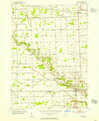
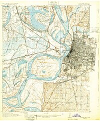
USGS Historical Quadrangle in GeoPDF.
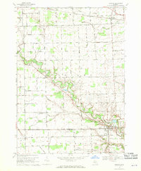
USGS Historical Quadrangle in GeoPDF.
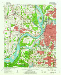
USGS Historical Quadrangle in GeoPDF.
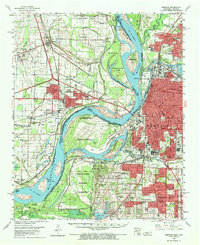
USGS Historical Quadrangle in GeoPDF.

USGS Historical Quadrangle in GeoPDF.
USGS Historical Quadrangle in GeoPDF.
Water supply lakes are the primary source of water for many communities in northern and western Missouri. Therefore, accurate and up-to-date estimates of lake capacity are important for managing and predicting adequate water supply. Many of the water supply lakes in Missouri were previously surveyed by the U.S. Geological Survey in the early 2000s (Richards, 2013) and in 2013 (Huizinga, 2014); however, years of potential sedimentation may have resulted in reduced water storage capacity. Periodic bathymetric surveys are useful to update the area/capacity table and to determine changes in the bathymetric surface. Memphis Reservoir is a water supply lake used by the city of Memphis in northeastern Missouri. The surface...
Types: Map Service,
OGC WFS Layer,
OGC WMS Layer,
OGC WMS Service;
Tags: Bathymetry,
Bathymetry and Elevation,
Memphis,
Memphis Reservoir,
Missouri,
USGS Historical Quadrangle in GeoPDF.
USGS Historical Quadrangle in GeoPDF.
USGS Historical Quadrangle in GeoPDF.
USGS Historical Quadrangle in GeoPDF.
Seven Landscape Conservation Cooperatives (LCCs) are working together to identify key scientific uncertainties associated with design and management of a sustainable ecosystem/floodplain landscape that provides multiple benefits for agricultural productivity, water quality, and wildlife conservation—both locally and in the Gulf of Mexico. Online meetings through the summer are preparing for a Mississippi River Basin / Gulf Hypoxia Structured Decision Making Workshop to be held August 12 – 14, 2014 at the Ducks Unlimited Headquarters in Memphis, TN, to convene 30 key representatives integrating a range of perspectives. The ultimate goal of this multi-LCC effort is to prioritize agricultural conservation areas by...
Categories: Data,
Project;
Types: Map Service,
OGC WFS Layer,
OGC WMS Layer,
OGC WMS Service;
Tags: 2013,
2014,
2015,
AR-01,
CO-04,

USGS Historical Quadrangle in GeoPDF.
USGS Historical Quadrangle in GeoPDF.
USGS Historical Quadrangle in GeoPDF.
USGS Historical Quadrangle in GeoPDF.
This text file (Reference_List_V1.txt) lists references that describe relevant characteristics for reservoir thermal energy storage (RTES) research in the United States. References are grouped by corresponding city, including: Albuquerque, New Mexico; Charleston, South Carolina; Chicago, Illinois; Decatur, Illinois; Lansing, Michigan; Memphis, Tennessee; Phoenix, Arizona; and Portland, Oregon. The document includes hyphenated lines and headers to distinguish city-specific subsections. Internet links are provided for each reference in the event that the reference was accessible online (as of January 28, 2021).
Types: Map Service,
OGC WFS Layer,
OGC WMS Layer,
OGC WMS Service;
Tags: Albuquerque,
Arizona,
Charleston,
Chicago,
Decatur,
USGS Historical Quadrangle in GeoPDF.

USGS Historical Quadrangle in GeoPDF.

USGS Historical Quadrangle in GeoPDF.
|

|
