Filters: Tags: Minden (X)
17 results (53ms)|
Filters
Date Range
Types Contacts
Tag Types Tag Schemes |
Heavy rainfall occurred across Louisiana during March 8-19, 2016, as a result of a massive, slow-moving southward dip in the jet stream, which moved eastward across Mexico, then neared the Gulf Coast, funneling deep tropical moisture into parts of the Gulf States and the Mississippi River Valley. The storm caused major flooding in north-central and southeastern Louisiana. Digital flood-inundation maps for a 20.1-mile reach within the community of Minden near Lake Bistineau in Bossier Parish and Bienville Parish, LA was created by the U.S. Geological Survey (USGS) in cooperation with Federal Emergency Management Agency (FEMA) to support response and recovery operations following a March 8-19, 2016 flood event. The...
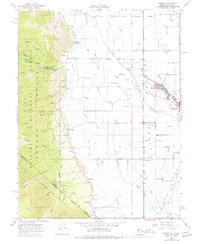
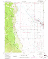
USGS Historical Quadrangle in GeoPDF.
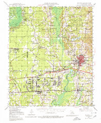
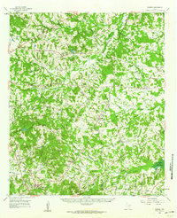
USGS Historical Quadrangle in GeoPDF.
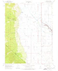
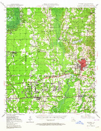
USGS Historical Quadrangle in GeoPDF.
This data release contains two tabular data sets of water-quality data collected on the East Fork Carson River. EFCR_CQW.xlsx is a Microsoft Excel workbook containing continuous water-quality data collected by the Nevada Division of Environmental Protection (NDEP) at a site on the East Fork Carson River over two time periods in 2010 and 2012. Data were collected at U.S. Geological Survey site number 385755119473704, East Fork Carson River near Muller Lane downstream transect, also referred to as "SDT" in the larger work. Stream temperature, pH, dissolved oxygen, and specific conductance were measured at 5 to 10 minute intervals from August 3-September 29, 2010 and from July 20-August 17, 2012. EFCR_StreamProfiles.xlsx...
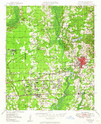
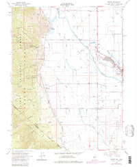
USGS Historical Quadrangle in GeoPDF.

USGS Historical Quadrangle in GeoPDF.
Over the past 15 years Douglas County, NV has removed production wells in northern Carson Valley from use due to relatively high arsenic concentrations (Carl Ruschmeyer, January 2013, Douglas County Public Works Director, verbal communication). To maintain the supply of water to the public, the town of Minden has been providing water to Douglas County and Carson City. Due to the projected increases in municipal demand, water resource managers are concerned that increasing pumping rates from wells in Minden may change groundwater chemistry and degrade the resource by potentially drawing in arsenic enriched water. Naturally occurring arsenic is one of the most common contaminants in groundwater in the western United...
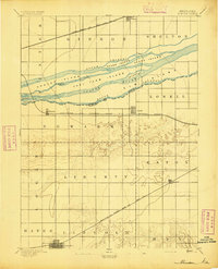
USGS Historical Quadrangle in GeoPDF.
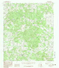
USGS Historical Quadrangle in GeoPDF.
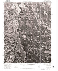
USGS Historical Quadrangle in GeoPDF.
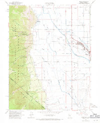
USGS Historical Quadrangle in GeoPDF.
USGS Historical Quadrangle in GeoPDF.
USGS Historical Quadrangle in GeoPDF.
USGS Historical Quadrangle in GeoPDF.
USGS Historical Quadrangle in GeoPDF.
USGS Historical Quadrangle in GeoPDF.
|

|
