Filters: Tags: Nebraska (X)
8,000 results (94ms)
Filters
Date Range
Extensions Types Contacts
Categories
Tag Types
|
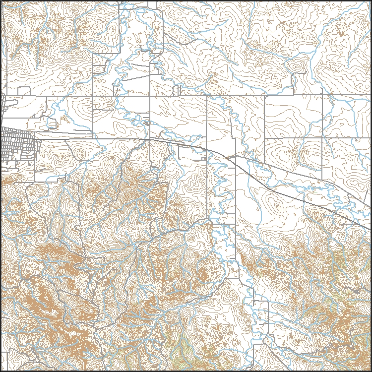
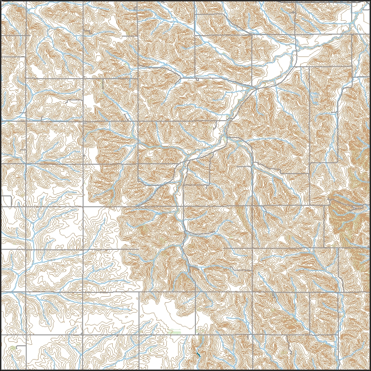
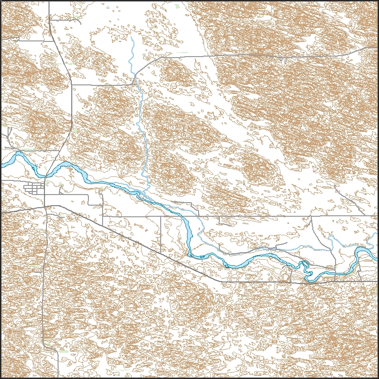
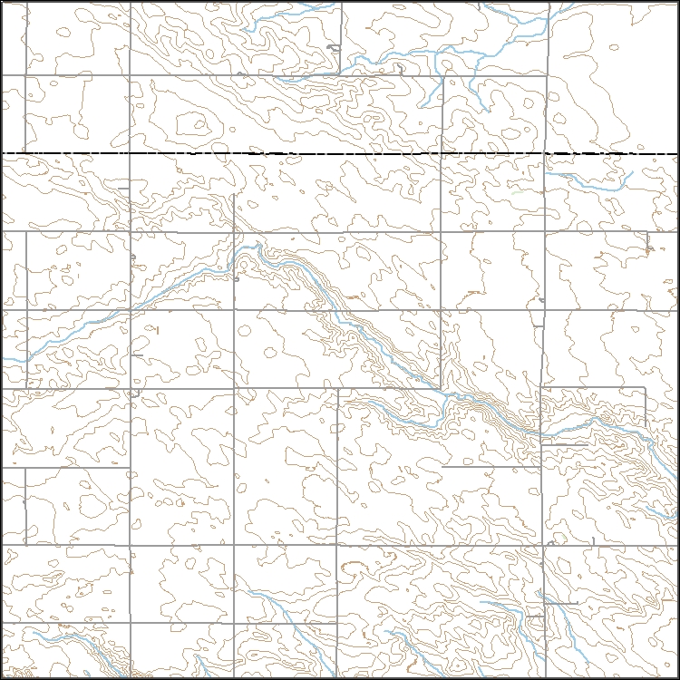
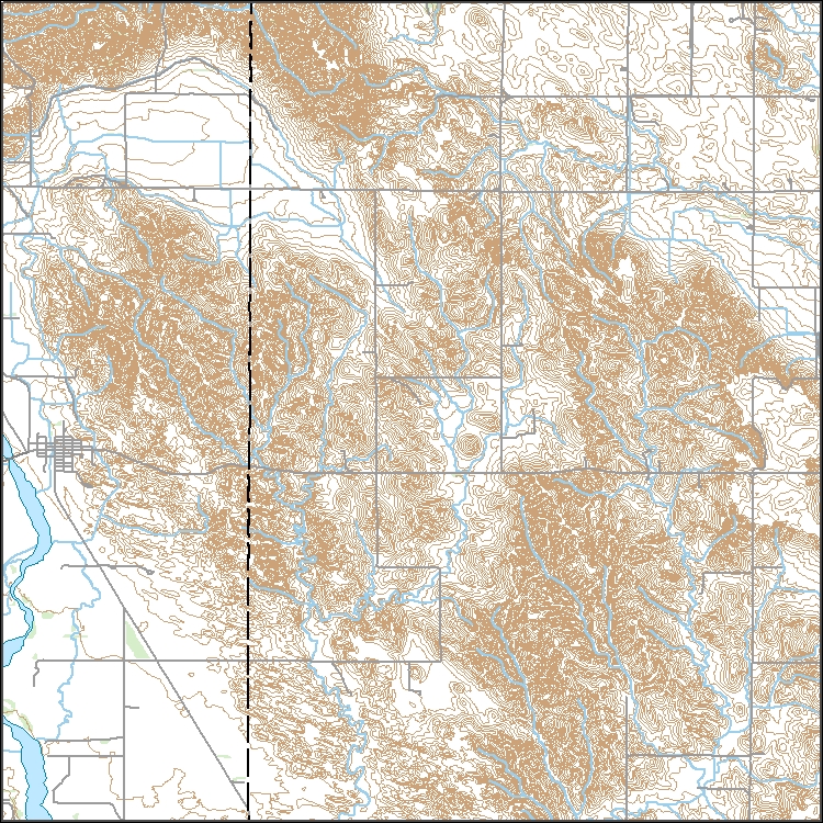
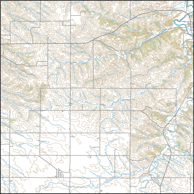
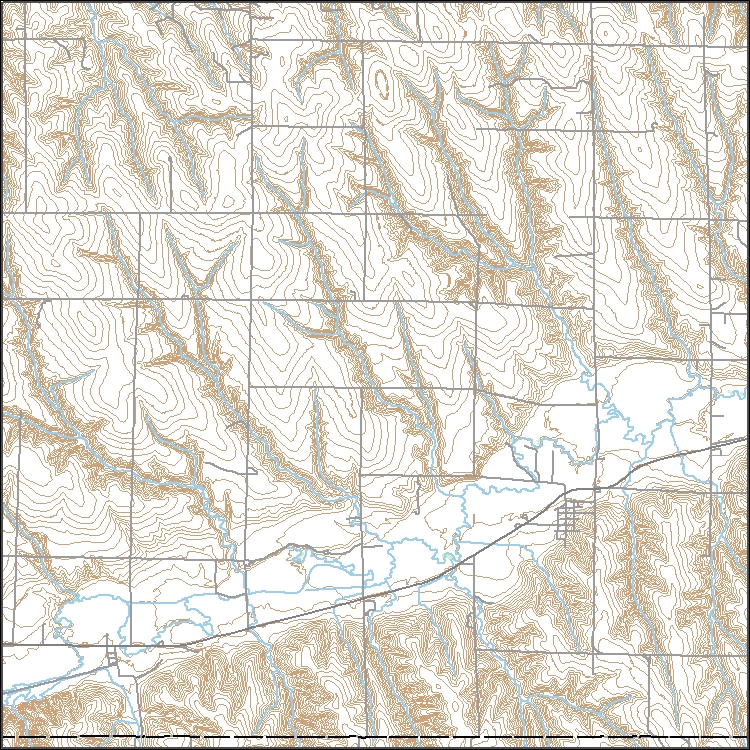
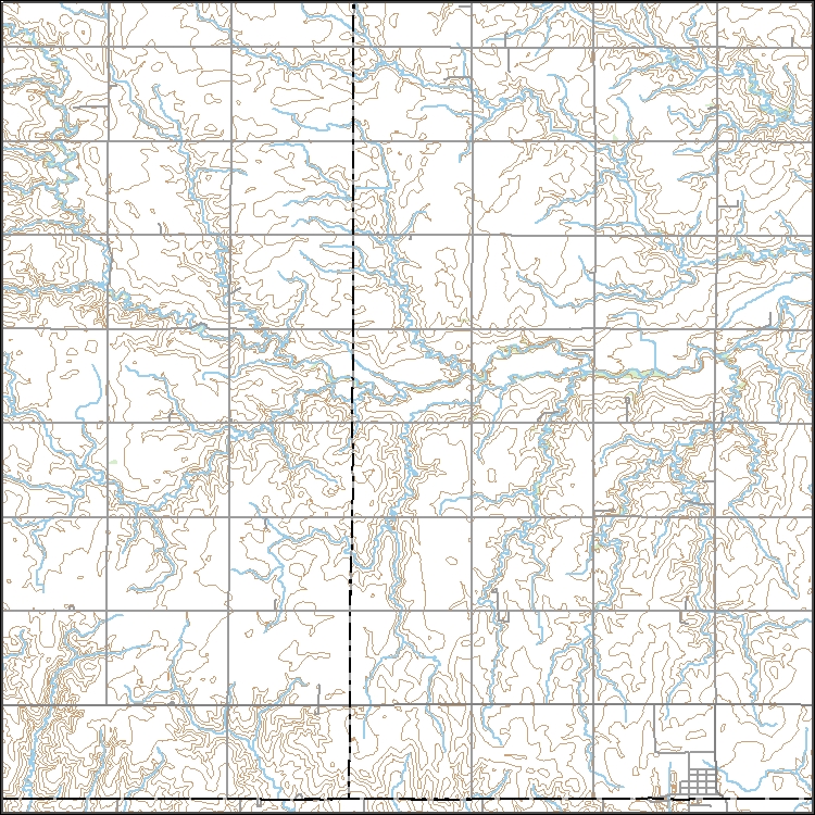
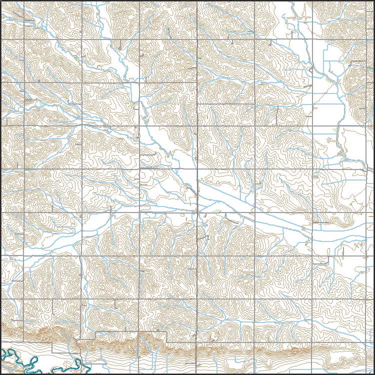
![]() These vector contour lines are derived from the 3D Elevation Program using automated and semi-automated processes. They were created to support 1:24,000-scale CONUS and Hawaii, 1:25,000-scale Alaska, and 1:20,000-scale Puerto Rico / US Virgin Island topographic map products, but are also published in this GIS vector format. Contour intervals are assigned by 7.5-minute quadrangle, so this vector dataset is not visually seamless across quadrangle boundaries. The vector lines have elevation attributes (in feet above mean sea level on NAVD88), but this dataset does not carry line symbols or annotation.
Concern over the status of species associated with prairie dog colonies has increased with the recent proposed listing of black-tailed prairie dogs (Cynomys ludovicianus). We monitored burrowing owl (Athene cunicularia) populations and prairie dog densities in 17 black-tailed prairie dog colonies in the Nebraska panhandle between 1990 and 1996. All prairie dog colonies were controlled at least once during the study. We observed a 63% decline in nesting pairs of burrowing owls and significant declines in burrow densities. Results indicated a time lag in owl response to changes in active burrow densities. However, in the later years of the study when burrow densities were lowest, owl numbers were positively correlated...
Categories: Publication;
Types: Citation,
Journal Citation;
Tags: Athene cunicularia,
Cynomys ludovicianus,
Great Plains,
Journal of Wildlife Management,
Nebraska,
Synopsis: This article outlines how wetlands can significantly reduce flooding in the Upper Mississippi watershed. The authors first provide a historical context by estimating the original and lost wetland storage capacities of the Upper Mississippi and Missouri River Basins. Historically, about 10% of the basin would have been classified as wetland in 1780. By 1980, wetland acreage had been reduced to only 4% of the basin, representing about 26 million acres of wetlands eliminated since 1780. The area of wetland restoration required to reduce the risk of future flooding adequately was estimated based on the total amount of excess floodwater beyond bank-full discharge that passed through the City of St. Louis during...
Categories: Publication;
Types: Citation,
Map Service,
OGC WFS Layer,
OGC WMS Layer,
OGC WMS Service;
Tags: Illinois,
Iowa,
Kansas,
Minnesota,
Missouri,
Classified probability of suitable habitat for Black Tailed Prairie Dogs for each cell of raster. Classification is based on 4 probability cutoff levels with category 1 being low habitat suitability and category 4 being high habitat suitability. Categorized probability data is created from fitting a global second-order model to county level raster data. For details on model fitting and data used to produce categorized probability raster see report. http://www.greatplainslcc.org/wp-content/uploads/2012/11/BTPD-Habitat-Suitability-Final-Report.pdf
Probability of suitable habitat for Black Tailed Prairie Dogs for each cell of raster. Probability is measured from 0 to 1 with 0 being low habitat suitability and 1 being high suitability. Probability data is created from fitting a global second-order model to county level raster data. For details on model fitting and data used to produce probability raster see report. http://www.greatplainslcc.org/wp-content/uploads/2012/11/BTPD-Habitat-Suitability-Final-Report.pdf
Probability of suitable habitat for Black Tailed Prairie Dogs for each cell of raster. Probability is measured from 0 to 1 with 0 being low habitat suitability and 1 being high suitability. Probability data is created from fitting a global third-order model to county level raster data. For details on model fitting and data used to produce probability raster see report. http://www.greatplainslcc.org/wp-content/uploads/2012/11/BTPD-Habitat-Suitability-Final-Report.pdf
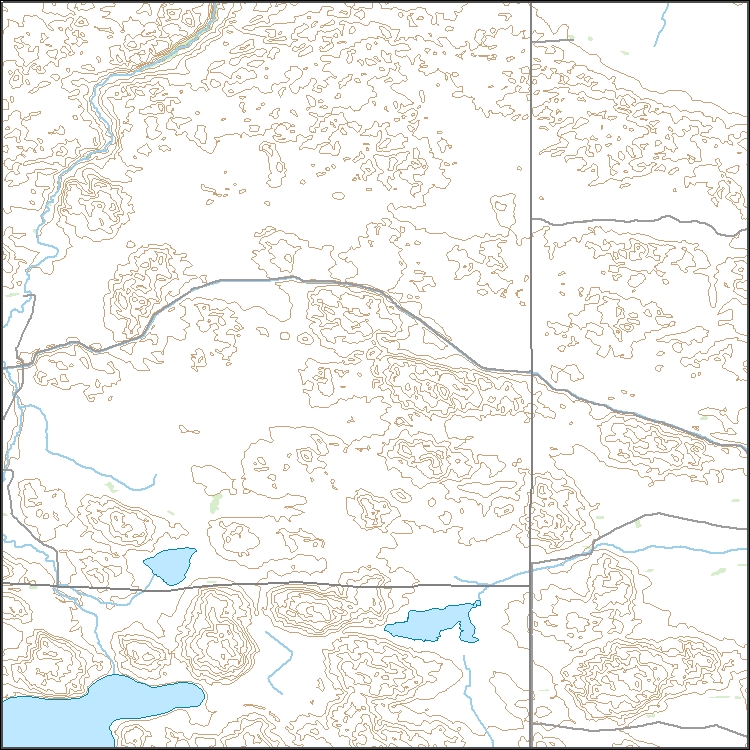
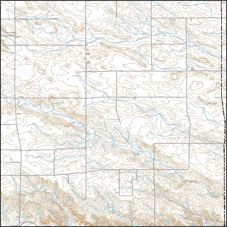
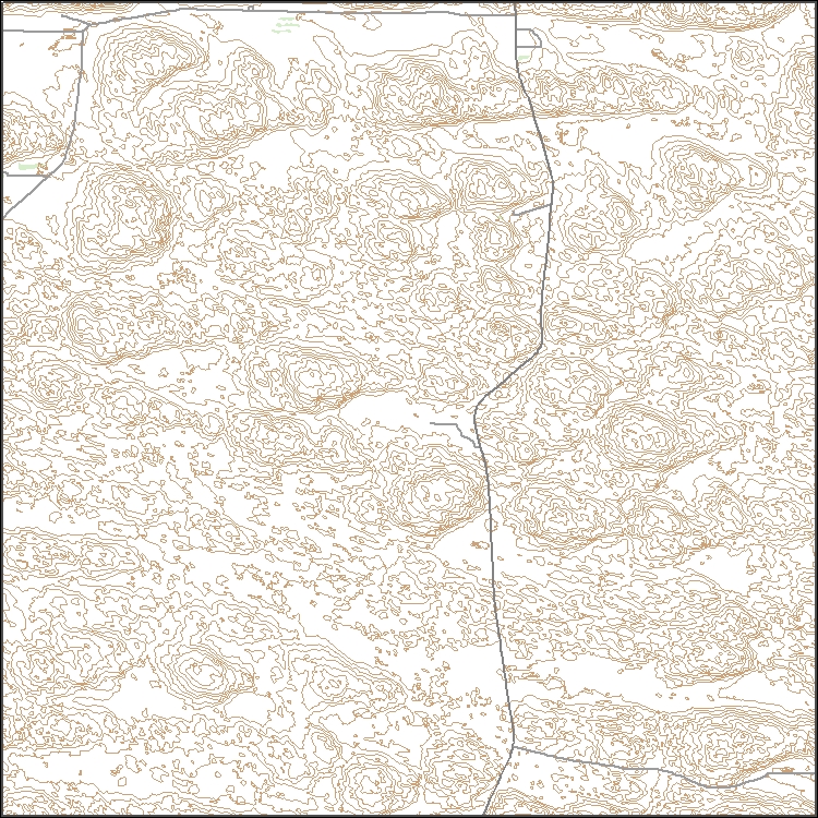
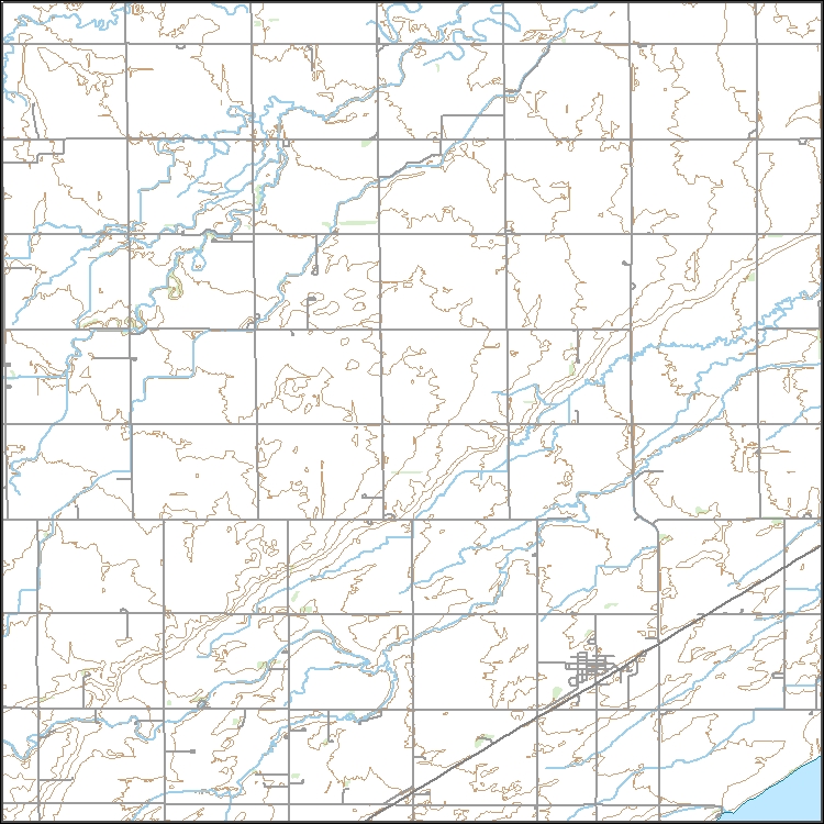
![]() Layers of geospatial data include contours, boundaries, land cover, hydrography, roads, transportation, geographic names, structures, and other selected map features.
![]()
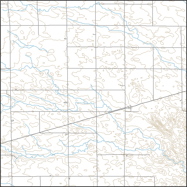
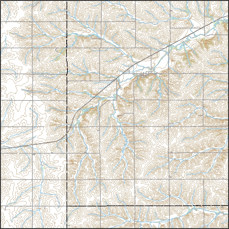
USGS Topo Map Vector Data (Vector) 40576 Seneca SW, Nebraska 20180209 for 7.5 x 7.5 minute Shapefile
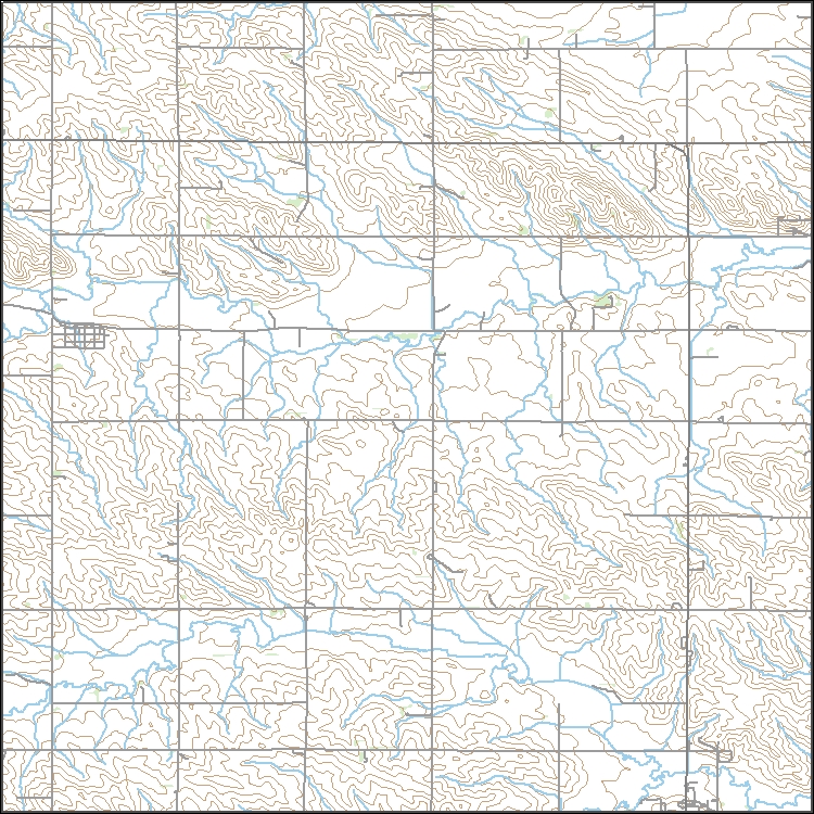
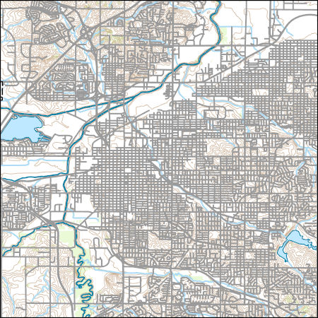
Layers of geospatial data include contours, boundaries, land cover, hydrography, roads, transportation, geographic names, structures, and other selected map features.
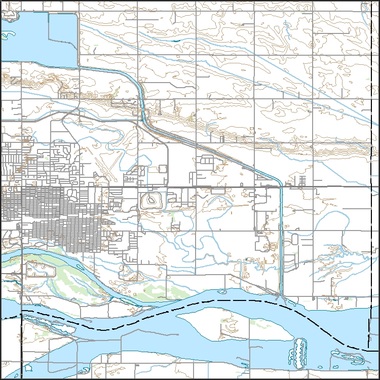
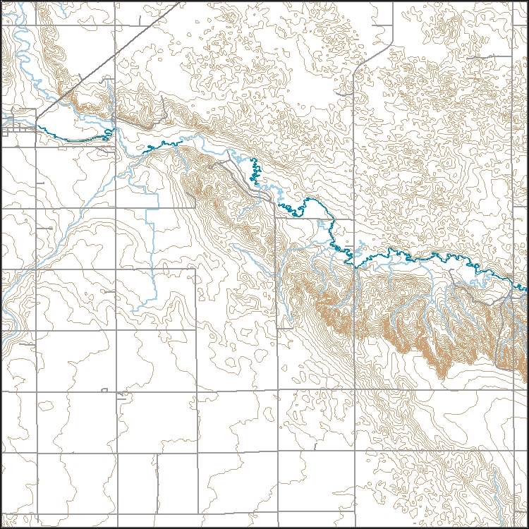
![]() Layers of geospatial data include contours, boundaries, land cover, hydrography, roads, transportation, geographic names, structures, and other selected map features.
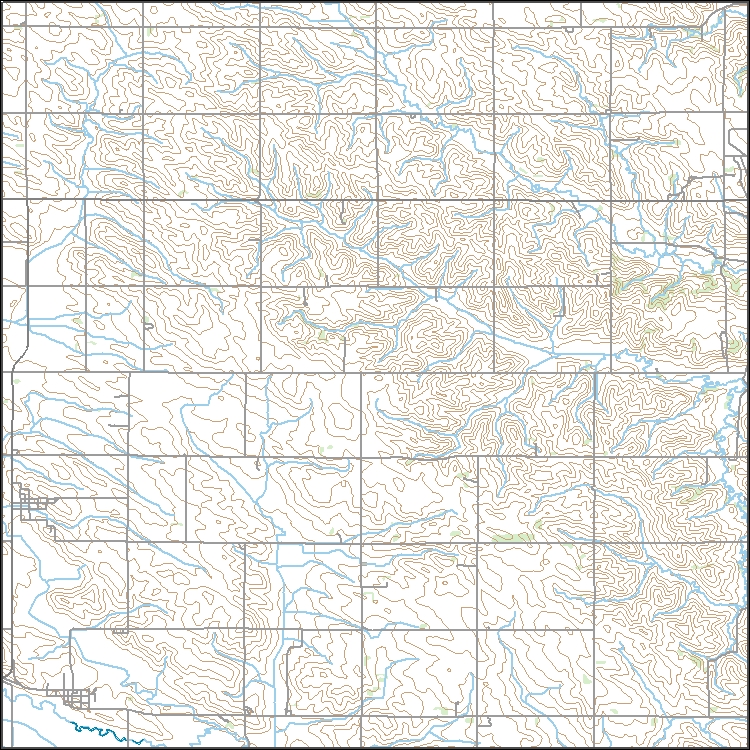
![]() Layered geospatial PDF 7.5 Minute Quadrangle Map. Layers of geospatial data include orthoimagery, roads, grids, geographic names, elevation contours, hydrography, and other selected map features. This map is derived from GIS (geospatial information system) data. It represents a repackaging of GIS data in traditional map form, not creation of new information. The geospatial data in this map are from selected National Map data holdings and other government sources.
We obtained statewide spatially explicit gridded soil survey data for Nebraska from the Soil Survey Geographic (SSURGO) database. The ‘chorizon,’ ‘chtexture,’ ‘chtexturegrp,’ ‘mapunit,’ and ‘mutext’ tables in the Gridded SSURGO database were joined together using the “mukey” attribute field in a geographic information system (GIS). The representative values for slope (rvslope) and slope length (rvslopelenusle), the susceptibility of the soil to water erosion (Kw), and the soil loss tolerance (t_fact) values were obtained from the set of joined tables and were included in the Water Erosion Index calculation. We acquired county-specific rainfall and runoff factor values (R) from the U.S. Department ofAgriculture’s...
The Central Platte River Image Library is an extensive dataset of historic 1860's surveys by the Government Land Office and aerial photographs from 1938-2012. All datasets are either public domain property of the U.S. Government or published by the Rainwater Basin Joint Venture (RWBJV) with permission from the respective owner (specifically the Platte River Recovery Implementation Program or Central Platte Natural Resources District). The Central Platte River region of Nebraska extends from approximately Jeffery Reservoir (Western Extent) to Columbus (Eastern Extent). The library was completed May 2014 - Sept 2016 by the Rainwater Basin Joint Venture.
Categories: Data;
Types: Citation,
Downloadable,
Map Service,
OGC WFS Layer,
OGC WMS Layer,
Shapefile;
Tags: Land Use,
Nebraska,
imageryBaseMapsEarthCover
The Central Platte River Image Library is an extensive dataset of historic 1860's surveys by the Government Land Office and aerial photographs from 1938-2012. All datasets are either public domain property of the U.S. Government or published by the Rainwater Basin Joint Venture (RWBJV) with permission from the respective owner (specifically the Platte River Recovery Implementation Program or Central Platte Natural Resources District). The Central Platte River region of Nebraska extends from approximately Jeffery Reservoir (Western Extent) to Columbus (Eastern Extent). The library was completed May 2014 - Sept 2016 by the Rainwater Basin Joint Venture.
![]() Layers of geospatial data include contours, boundaries, land cover, hydrography, roads, transportation, geographic names, structures, and other selected map features.
|
![]() |