Filters: Tags: OXFORD (X) > Types: Citation (X)
10 results (7ms)|
Filters
Date Range
Contacts
Categories Tag Types Tag Schemes |
The collection of borehole geophysical logs data was conducted by the U.S. Geological Survey South Atlantic Water Science Center in the vicinity of the Cristex Drum National Priorities List Superfund Site near Oxford, North Carolina, during January through March 2016. In an effort to assist the U.S. Environmental Protection Agency in the development of a conceptual groundwater model for the assessment of current contaminant distribution and future migration of contaminants, borehole geophysical log and image data collection, which included the delineation of more than 150 subsurface features (primarily fracture orientations) in 3 open borehole wells.
The data within this page contain .csv files with caliper, natural gamma, resistivity, fluid temperature, fluid specific conductance, and heat-pulse flow measurements (ambient and stressed conditions).
Categories: Data;
Types: Citation;
Tags: Granville County,
North Carolina,
Oxford,
fractured-rock aquifer,
geophysical logging,
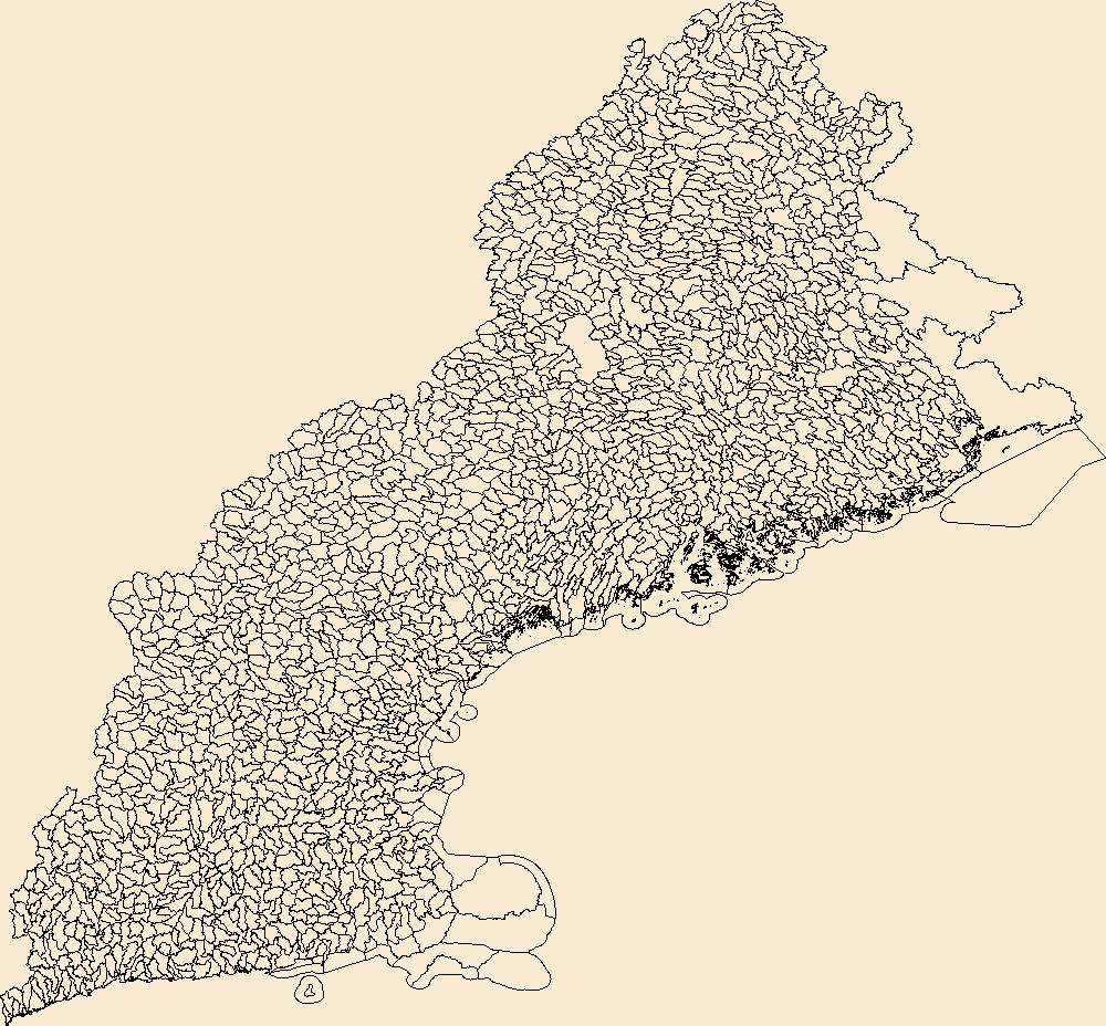
The Watershed Boundary Dataset (WBD) is a comprehensive aggregated collection of hydrologic unit data consistent with the national criteria for delineation and resolution. It defines the areal extent of surface water drainage to a point except in coastal or lake front areas where there could be multiple outlets as stated by the "Federal Standards and Procedures for the National Watershed Boundary Dataset (WBD)" "Standard" (https://pubs.usgs.gov/tm/11/a3/). Watershed boundaries are determined solely upon science-based hydrologic principles, not favoring any administrative boundaries or special projects, nor particular program or agency. This dataset represents the hydrologic unit boundaries to the 12-digit (6th level)...
The data on this page contain .pdf files of field sheets that show water level and pumping flow rate during heat-pulse flow meter measurements during stressed conditions.
Types: Citation;
Tags: Granville County,
North Carolina,
Oxford,
fractured-rock aquifer,
geophysical logging,
The data on this page consists of .csv and .xlsx files with water-level information collected from a pressure transducer within the borehole during pumping conditions for the "stressed" heat-pulse flow measurements. The water-levels were used for drawdown calculations.
Categories: Data;
Types: Citation;
Tags: Granville County,
North Carolina,
Oxford,
fractured-rock aquifer,
geophysical logging,
The data on this page contain borehole structural feature data measured on the optical and acoustic televiewer logs. Dip direction and dip angle, along with depth of feature and feature type are described within each spreadsheet.
Categories: Data;
Types: Citation;
Tags: Granville County,
North Carolina,
Oxford,
fractured-rock aquifer,
geophysical logging,
The data within this page contain .csv files with caliper, optical, acoustic, and tadpole plots of structure measurements.
Types: Citation;
Tags: Granville County,
North Carolina,
Oxford,
fractured-rock aquifer,
geophysical logging,
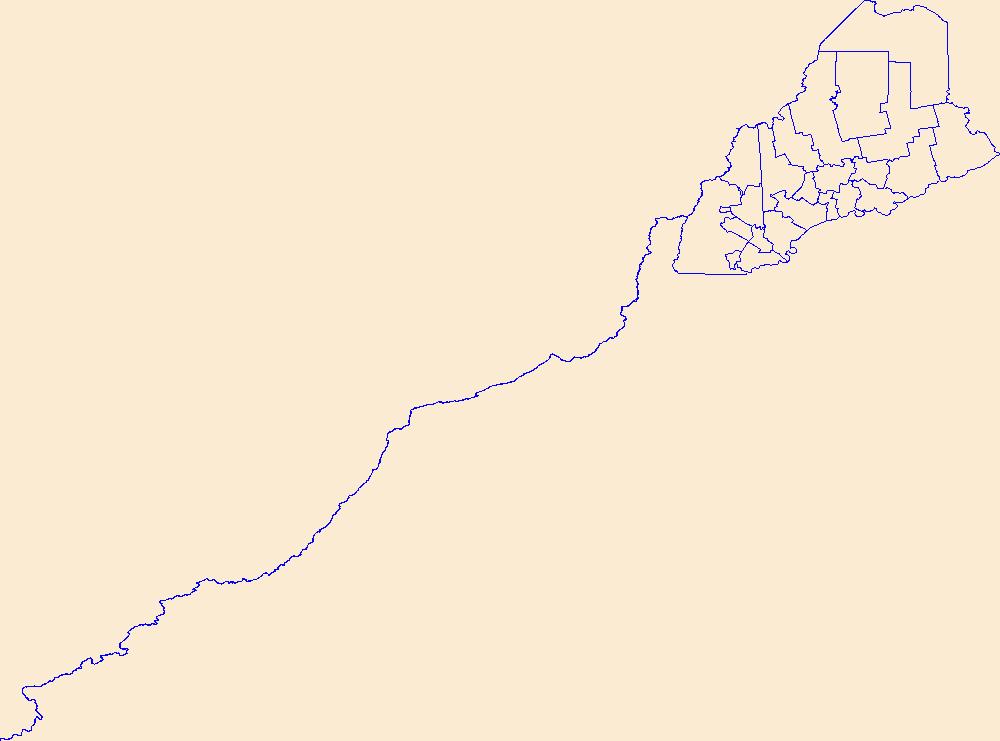
Geospatial data is comprised of government boundaries.
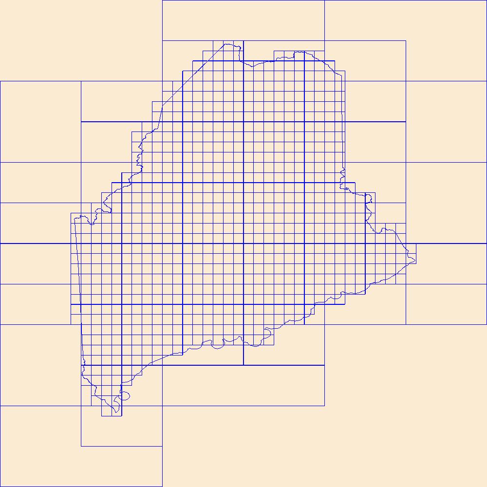
This data represents the map extent for current and historical USGS topographic maps for the United States and Territories, including 1 X 2 Degree, 1 X 1 Degree, 30 X 60 Minute, 15 X 15 Minute, 7.5 X 7.5 Minute, and 3.75 X 3.75 Minute. The grid was generated using ESRI ArcInfo GIS software.
The data on this page consists of .csv files that contain vertical flow measurements within the borehole and the associated depth below land surface. Measurements recorded under both ambient and stressed conditions are contained in each file.
Categories: Data;
Types: Citation;
Tags: Granville County,
North Carolina,
Oxford,
fractured-rock aquifer,
geophysical logging,
|

|
