Filters: Tags: Oak Orchard (X)
7 results (41ms)|
Filters
Date Range
Types Contacts
Categories Tag Types Tag Schemes |
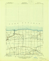
USGS Historical Quadrangle in GeoPDF.
This dataset consists of select contaminants of emerging concern (CEC) including pesticides and transformation products, pharmaceuticals and transformation products, and wastewater indicator compound results measured in 131 surface water, 129 bottom sediment, 7 field replicate, and 6 field blank samples collected from 131 sites located on 27 tributaries of the Great Lakes during the summer of 2019. Samples were analyzed at the U.S. Geological Survey National Water Quality Laboratory (NWQL). Surface water samples were collected and analyzed for 238 pesticides, pesticide transformation products, and surrogate compounds (NWQL laboratory schedule 2437; Sandstrom and others, 2015), 152 pharmaceuticals, pharmaceutical...
Categories: Data;
Types: Map Service,
OGC WFS Layer,
OGC WMS Layer,
OGC WMS Service;
Tags: Au Gres River,
Buffalo River,
Cattaraugus River,
Chippewa River,
East Twin River,
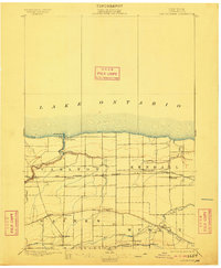
USGS Historical Quadrangle in GeoPDF.
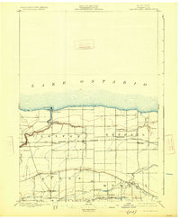
USGS Historical Quadrangle in GeoPDF.
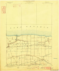
USGS Historical Quadrangle in GeoPDF.
USGS Historical Quadrangle in GeoPDF.
USGS Historical Quadrangle in GeoPDF.
|

|
