Filters: Tags: Orchard (X) > partyWithName: U.S. Geological Survey (X)
20 results (45ms)|
Filters
Date Range
Contacts
Categories Tag Types Tag Schemes
|
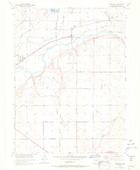
USGS Historical Quadrangle in GeoPDF.
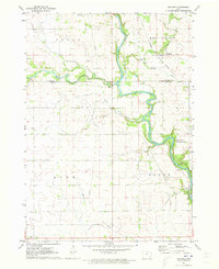
USGS Historical Quadrangle in GeoPDF.
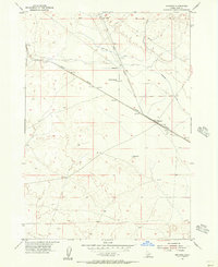
USGS Historical Quadrangle in GeoPDF.
The Weldona 7.5' quadrangle is located on the semiarid plains of northeastern Colorado, along the South Platte River corridor where the river has incised into Upper Cretaceous Pierre Shale. The Pierre Shale is largely covered by surficial deposits that formed from alluvial, eolian, and hillslope processes operating in concert with environmental changes from the Pleistocene to the present. The South Platte River, originating high in the Colorado Rocky Mountains, has played a major role in shaping surficial geology in the map area, which is several tens of kilometers downstream from where headwater tributaries join the river. Recurrent glaciation (and deglaciation) of basin headwaters has affected river discharge...
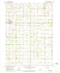
USGS Historical Quadrangle in GeoPDF.
The Fort Morgan 7.5' quadrangle is located on the semiarid plains of northeastern Colorado, along the South Platte River corridor where the river has incised into Upper Cretaceous Pierre Shale. The Pierre Shale is largely covered by surficial deposits that formed from alluvial, eolian, and hillslope processes operating in concert with environmental changes from the late Pliocene to the present. The South Platte River, originating high in the Colorado Rocky Mountains, has played a major role in shaping surficial geology in the map area, which is several tens of kilometers downstream from where headwater tributaries join the river. Recurrent glaciation (and deglaciation) of basin headwaters has affected river discharge...
USGS Historical Quadrangle in GeoPDF.
USGS Historical Quadrangle in GeoPDF.
USGS Historical Quadrangle in GeoPDF.
USGS Historical Quadrangle in GeoPDF.
USGS Historical Quadrangle in GeoPDF.
USGS Historical Quadrangle in GeoPDF.
USGS Historical Quadrangle in GeoPDF.
In conjunction with geologic mapping of four 7.5′ quadrangles along the South Platte River corridor in northeastern Colorado (Masters, Orchard, Weldona, and Fort Morgan), geochronology samples were collected and analyzed using optically stimulated luminescence (OSL), radiocarbon (14C), or U-series methods to provide age control for mapping units. This section of river corridor is largely covered by surficial deposits that formed from alluvial, eolian, and hillslope processes operating in concert with environmental changes from the Pleistocene to the present. The South Platte River originates high in the Colorado Rocky Mountains and recurrent glaciation of basin headwaters has affected river discharge and sediment...
USGS Historical Quadrangle in GeoPDF.
USGS Historical Quadrangle in GeoPDF.
USGS Historical Quadrangle in GeoPDF.
USGS Historical Quadrangle in GeoPDF.
USGS Historical Quadrangle in GeoPDF.
USGS Historical Quadrangle in GeoPDF.
|

|
