Filters: Tags: PARKER SW (X)
5 results (116ms)|
Filters
Date Range
Contacts (Less)
Tag Types Tag Schemes
|
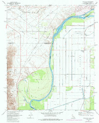
USGS Historical Quadrangle in GeoPDF.
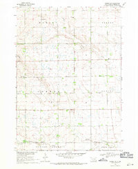
USGS Historical Quadrangle in GeoPDF.
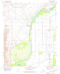
USGS Historical Quadrangle in GeoPDF.
This geologic database is a digitized version of the original 1:24,000-scale analog geologic map titled "Geologic map of the Vidal, California, and Parker SW, California-Arizona quadrangles", published by the U.S. Geological Survey (USGS) in 1980. The map area straddles the Arizona-California border, and is located approximately 9.0 km (5.6 mi) west-southwest of Parker, CA, immediately south of the unincorporated communities of Vidal and Vidal Junction, CA. The map area includes the northern Riverside Mountains, which contain a prominent suite of Permian, Mesozoic, and potentially Precambrian metamorphic and metasedimentary rocks. These rocks predominantly consist of gneisses, schists, limestones, and dolomites,...
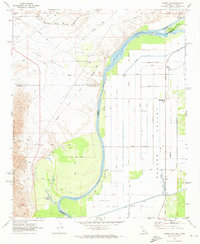
USGS Historical Quadrangle in GeoPDF.
|

|
