Filters: Tags: PAULDEN (X)
15 results (6ms)|
Filters
Contacts
(Less)
|
These data were compiled as part of a larger study to evaluate post-stocking survival of hatchery-reared Roundtail Chub. We conducted a two year study (Dec. 2015 – Mar. 2017) in the upper Verde River at the Burnt Ranch stocking location near Paulden, Arizona. Young of year Roundtail Chub were acquired from the Arizona Research and Conservation Center in Cornville, Arizona. Passive integrated transponder (PIT) tags (BioMark, 12.5 mm 134.2 kHz FDX) were implanted into Roundtail Chub each year (n = 333, Year 1; n = 2177, Year 2) prior to stocking. Each year, fish were measured (total length, TL, mm) before release (reflected in Pre-Stocking data table). We used two methods to recapture stocked fish, one passive and...
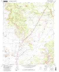
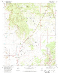
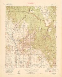
USGS Historical Quadrangle in GeoPDF.
Controlled source audio-frequency magnetotellurics (CSAMT) data were collected in the Big Chino Valley and Paulden areas, Yavapai County, Arizona, to better understand the hydrogeology of the area. CSAMT data provide vertical cross-section (profile) data about the resistivity of the subsurface, which may be related to lithologic boundaries and (or) grain-size distribution in the subsurface. CSAMT involves transmitting a current at various frequencies in one location, and measuring resistivity differences between electrodes spaced along a receiver line several kilometers from the transmitter. Data were collected using a GGT-30 transmitter and GDP32-II receiver (Zonge international. Inc.). Data processing and inversions...
This dataset contains absolute-gravity measurements made using an A-10 absolute gravity meter (Micro-g Lacoste, Inc.) between 2009 and 2017 in the Big Chino Subbasin, Yavapai County, Arizona. Measurements were made about 3 times per year at a total of 33 different stations. Data are presented in tabular form, including relevant parameters used for processing. Data were output by g software (Micro-g Lacoste, Inc.) version 9.12.04.23. A correction for laser-frequency drift was applied, based on regular calibration of the HeNe laser used in the A-10 against an iodine-stabilized laser. A second soil-moisture correction was applied based on satellite soil-moisture measurements, an infiltration model, and the elevation...
Categories: Data;
Types: Map Service,
OGC WFS Layer,
OGC WMS Layer,
OGC WMS Service;
Tags: Arizona,
Big Chino-Williamson Valley,
Geophysics,
Hydrogeology,
Paulden,
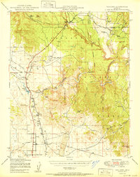
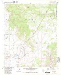
USGS Historical Quadrangle in GeoPDF.
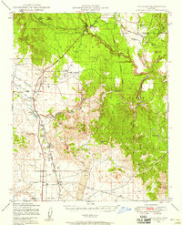
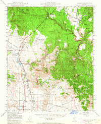
USGS Historical Quadrangle in GeoPDF.
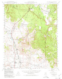
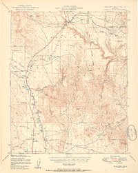
USGS Historical Quadrangle in GeoPDF.
Controlled source audio-frequency magnetotellurics (CSAMT) data were collected in the Big Chino Valley and Paulden areas, Yavapai County, Arizona, to better understand the hydrogeology of the area. CSAMT data provide vertical cross-section (profile) data about the resistivity of the subsurface, which may be related to lithologic boundaries and (or) grain-size distribution in the subsurface. CSAMT involves transmitting a current at various frequencies in one location, and measuring resistivity differences between electrodes spaced along a receiver line several kilometers from the transmitter. Data were collected using a GGT-30 transmitter and GDP32-II receiver (Zonge international. Inc.). Data processing and inversions...
USGS Historical Quadrangle in GeoPDF.
USGS Historical Quadrangle in GeoPDF.
USGS Historical Quadrangle in GeoPDF.
USGS Historical Quadrangle in GeoPDF.
USGS Historical Quadrangle in GeoPDF.
Controlled source audio-frequency magnetotellurics (CSAMT) data were collected in the Big Chino Valley and Paulden areas, Yavapai County, Arizona, to better understand the hydrogeology of the area. CSAMT data provide vertical cross-section (profile) data about the resistivity of the subsurface, which may be related to lithologic boundaries and (or) grain-size distribution in the subsurface. CSAMT involves transmitting a current at various frequencies in one location, and measuring resistivity differences between electrodes spaced along a receiver line several kilometers from the transmitter. . Big_Chino_Valley_CSAMT_InversionData.zip: Text files of inverted resistivity values, starting model values, and corresponding...
Controlled source audio-frequency magnetotellurics (CSAMT) data were collected in the Big Chino Valley and Paulden areas, Yavapai County, Arizona, to better understand the hydrogeology of the area. CSAMT data provide vertical cross-section (profile) data about the resistivity of the subsurface, which may be related to lithologic boundaries and (or) grain-size distribution in the subsurface. CSAMT involves transmitting a current at various frequencies in one location, and measuring resistivity differences between electrodes spaced along a receiver line several kilometers from the transmitter. Big_Chino_Valley_CSAMT_RawData.zip: These are text files output by the data-collection instrument (GDP-32, Zonge International,...
|

|
