Filters: Tags: PENNSYLVANIA (X) > Date Range: {"choice":"month"} (X)
44 results (109ms)|
Filters
Date Types (for Date Range)
Types
Contacts
Categories Tag Types Tag Schemes |
The data release consists of two companion air and water temperature datasets collected as part of the U.S. Geological Survey (USGS) Next Generation Water Observing System (NGWOS) program with data from both the Little Lehigh and White Clay Creek Watersheds in the Delaware River Basin. Data consists of 15-minute temperature data during the 7/2021 – 12/2022 study period for 21 air and 49 water locations (which include 6 continuous monitoring USGS streamgages) in the Little Lehigh Creek watershed and 8/2021 – 1/2023 for 28 air and 36 surface water locations (including 6 continuous monitoring USGS streamgages) in the White Clay Creek watershed. Datalogger installation locations for surface water locations were targeted...
Categories: Data;
Tags: Air Temperature,
Continuous Data,
Delaware River Basin,
Hydrology,
Pennsylvania,
Slickened vertical joints crossing bedding of crushed Chambersburg limestone. Pennsylvania. No Date.
Slickened vertical joints crossing bedding of crushed Chambersburg limestone. Road cut at Riverton, opposite Harrisburg (A 1). New Cumberland quadrangle. Pennsylvania. No date.
This dataset details individual species and natural habitat vulnerability rankings, including contextual study-specific information. This data was collected from original publications found through a literature search. Information is cumulative to include climate change vulnerability assessment (CCVA) results summarized in Staudinger et al. (2015) and published as of December 2023.
Categories: Data;
Tags: CCVA,
Climate Change Vulnerability Assessment,
Climatology,
Connecticut,
Delaware,
This data release contains three 10-meter resolution GeoTIFFs representing 10-meter (35-foot), 30-meter (100-foot) and 90-meter (300-foot) riparian buffer zones along shorelines, rivers, streams, and other lotic (flowing) water features. The layers are binary, where the value of each cell represents the presence or absence of the buffer zone. In addition, the data release contains shapefile layers that document the extent of corrections that were made to the data to address errors in the stream network (see processing steps section for more details). The methodology combines various fine-scale input layers, including a 1:24k stream network and Chesapeake Bay 1-meter resolution Land Use/Land Cover to approximate...
Types: Map Service,
OGC WFS Layer,
OGC WMS Layer,
OGC WMS Service;
Tags: Chesapeake,
Delaware,
District of Columbia,
Ecology,
Forestry,
Slag dump of steel plant southeast of Steelton (B 8). New Cumberland quadrangle. Pennsylvania. No date.
Magnesite deposit in Pennsylvania about two miles north-northwest of Rising Sun. Old working reopened by Max Junghandel (at cobbing table). Shows old trench on left and in right center on veins crossing at right angles. Pennsylvania. September 19, 1921.
Panorama with image 854. Gap of Susquehanna River in North Mountains, north of Harrisburg. Blue Mountain in foreground, Second Mountain in middle ground, Peters Mountain in distance. Harrisburg quadrangle. Pennsylvania. No date.
Sampling is conducted by the U.S. Geological Survey (USGS) at nine wells, eight surface water sites, three bed sediment retention ponds, and two fields for soil samples at areas near and within the Open Burning/Open Detonation (OB/OD) areas in the Ammunition Area (AA) of Letterkenny Army Depot. Analytical results for groundwater samples collected from 2018-2021 are provided in “OBOD_wells_data_2018-2021.xlsx”. Analytical results for surface-water samples from 2018-2021 are provided in “OBOD_sw_data_2018-2021.xlsx”. Benthic macroinvertebrate taxonomic data collected from 2018-2021 at three streams are provided in “OBOD_benthic_taxa_2018-2021.xlsx”. The field and habitat data for benthic-macroinvertebrate sampling...
Categories: Data,
Data Release - Revised;
Tags: Franklin County,
NCCWSC,
Pennsylvania,
USGS Science Data Catalog (SDC),
bed-sediment chemical quality,
In response to Executive Order 13817 of December 20, 2017, the U.S. Geological Survey (USGS) coordinated with the Bureau of Land Management (BLM) to identify 36 nonfuel minerals or mineral materials considered critical to the economic and national security of the United States (U.S.) (https://pubs.usgs.gov/of/2018/1021/ofr20181021.pdf). Acquiring information on possible domestic sources of these critical minerals is the rationale for the USGS Earth Mapping Resources Initiative (Earth MRI). The program, which partners the USGS with State Geological Surveys, Federal agencies, and the private sector, aims to collect new geological, geophysical, and topographic (lidar) data in key areas of the U.S. to stimulate mineral...
Siliceous network residual of siliceous banded limestone of Stonehenge member of Beekmantown limestone, two miles southeast of Mechanicsburg (A 12). New Cumberland quadrangle. Pennsylvania. No date.

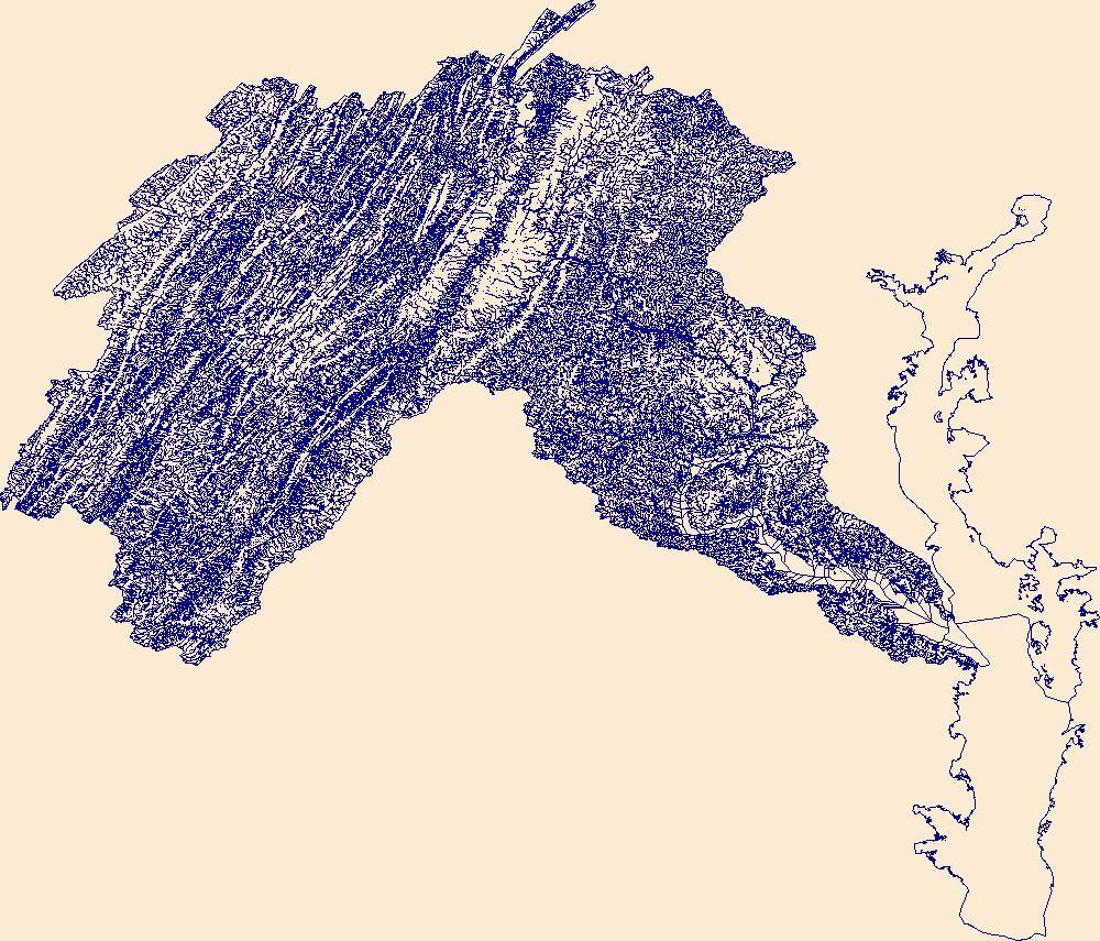
The High Resolution National Hydrography Dataset Plus (NHDPlus HR) is an integrated set of geospatial data layers, including the National Hydrography Dataset (NHD), National Watershed Boundary Dataset (WBD), and 3D Elevation Program Digital Elevation Model (3DEP DEM). The NHDPlus HR combines the NHD, 3DEP DEMs, and WBD to a data suite that includes the NHD stream network with linear referencing functionality, the WBD hydrologic units, elevation-derived catchment areas for each stream segment, "value added attributes" (VAAs), and other features that enhance hydrologic data analysis and routing.
Chronic Wasting Disease distribution in the United States by state and county (ver. 2.0, April 2024)
Chronic Wasting Disease (CWD) is a fatal, contagious, neuro-degenerative disease affecting multiple members of the Family Cervidae. First detected in 1967, the disease has, as of April 2024, been documented in free-ranging and/or captive cervid populations in 33 states, five Canadian provinces, the Republic of South Korea, Norway, Sweden, and Finland. The data provided here contains information on the known, available, documented distribution of CWD in the United States that is current as of the publication date. The USGS National Wildlife Health Center (NWHC) tracks changes to the known distribution of CWD in the form of a map (available on the NWHC website at https://www.usgs.gov/centers/nwhc/science/expanding-distribution-chronic-wasting-disease....
Categories: Data,
Data Release - Revised;
Types: Citation;
Tags: Alabama,
Alaska,
American Samoa,
Arizona,
Arkansas,
One-percent annual exceedance probability (AEP) flood-flow estimates were computed at flood insurance study (FIS) locations across Pennsylvania using methods identified in Scientific Investigation Report (SIR) 2019-5094. Following guidance outlined in SIR 2016-5149, valid statistical reaches (VSRs) were identified for streamgages, which were used to assist with the determination of the applicable method used to compute a USGS-derived 1-percent AEP flood-flow estimate at an FIS location. Methods included: weighting, weighting and transferring, and regression equations. The USGS-derived 1-percent AEP flood-flow estimates were then compared to 1-percent AEP flood-flow estimates published in FIS's and furnished by the...
Data in this dataset were collected as a part of the Student Network for Amphibian Pathogen Surveilance (SNAPs) program throughout the United States by undergraduate students in biology or ecology courses as a part of their curriculum. This data was collected in the field by students and sent to the USGS National Wildlife Health Center (NWHC) for testing of two amphibian fungal pathogens, Batrachochytrium dendrobatidis (Bd) and Batrachochytrium salamandrivorans (Bs). The dataset includes both the field records of the individual amphibians tested and the results for individuals for Bd and Bs. This is Product Number 209311 of the U.S. Geological Survey Amphibian Research and Monitoring Initiative (ARMI).
Categories: Data,
Data Release - Revised;
Tags: Alabama,
Batrachochytirum dendrobatidis,
Batrachochytirum salamandrivorans,
California,
Estado de México,

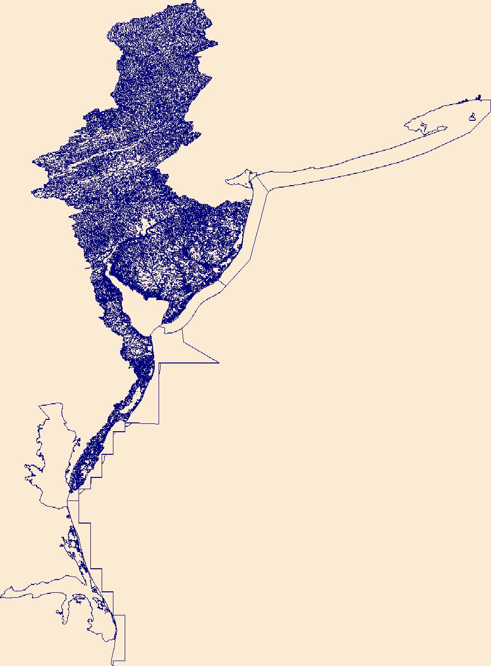
The High Resolution National Hydrography Dataset Plus (NHDPlus HR) is an integrated set of geospatial data layers, including the National Hydrography Dataset (NHD), National Watershed Boundary Dataset (WBD), and 3D Elevation Program Digital Elevation Model (3DEP DEM). The NHDPlus HR combines the NHD, 3DEP DEMs, and WBD to a data suite that includes the NHD stream network with linear referencing functionality, the WBD hydrologic units, elevation-derived catchment areas for each stream segment, "value added attributes" (VAAs), and other features that enhance hydrologic data analysis and routing.
Panorama with image 756. The Narrows, gap of Conewago Creek in Big Hill-Bear Mountain ridge, from the west. Fairfield quadrangle. Pennsylvania. No date.
Slag dump of steel plant southeast of Steelton (B 8). New Cumberland quadrangle. Pennsylvania. No date.
|

|