Filters: Tags: PRUDENCE ISLAND (X)
11 results (62ms)|
Filters
Date Range
Contacts
Tag Types Tag Schemes |
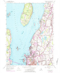
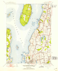
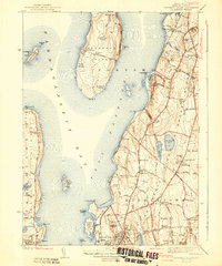
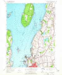
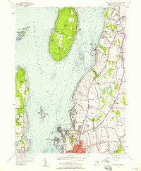
USGS Historical Quadrangle in GeoPDF.
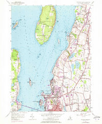
USGS Historical Quadrangle in GeoPDF.
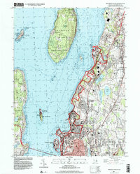
USGS Historical Quadrangle in GeoPDF.
This data release, RI_WRpts.gdb, consists of information from Rhode Island Ground-water maps published by the Rhode Island Water Resources Coordinating Board, the Rhode Island Port and Industrial Development Commission, Rhode Island Industrial Commission, and the Rhode Island Development Council; in cooperation with the U.S. Geological Survey. The point data on these maps have been digitized into a standard ArcGIS geodatabase format. Data about wells and test borings consists of geographic location, identification number, geologic material (bedrock or unconsolidated), altitude in feet of the bedrock surface or altitude of the bottom of well, and data source. Seismic survey locations and bedrock outcrops where they...
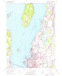
USGS Historical Quadrangle in GeoPDF.
USGS Historical Quadrangle in GeoPDF.
USGS Historical Quadrangle in GeoPDF.
USGS Historical Quadrangle in GeoPDF.
USGS Historical Quadrangle in GeoPDF.
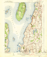
USGS Historical Quadrangle in GeoPDF.
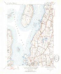
USGS Historical Quadrangle in GeoPDF.
|