Filters: Tags: Phoenix (X)
48 results (186ms)|
Filters
Date Range
Extensions Types Contacts
Categories Tag Types
|
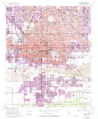
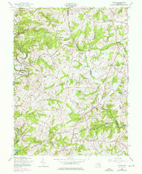
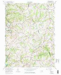
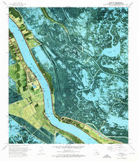
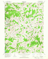
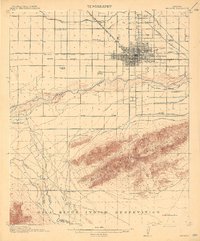
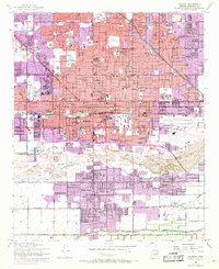
USGS Historical Quadrangle in GeoPDF.

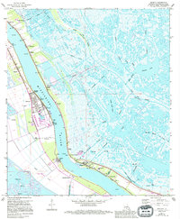
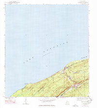
USGS Historical Quadrangle in GeoPDF.
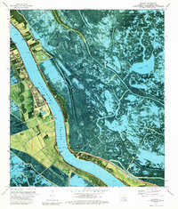
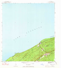
USGS Historical Quadrangle in GeoPDF.
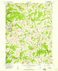
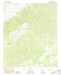
USGS Historical Quadrangle in GeoPDF.
USGS Historical Quadrangle in GeoPDF.

USGS Historical Quadrangle in GeoPDF.

USGS Historical Quadrangle in GeoPDF.
This text file (Reference_List_V1.txt) lists references that describe relevant characteristics for reservoir thermal energy storage (RTES) research in the United States. References are grouped by corresponding city, including: Albuquerque, New Mexico; Charleston, South Carolina; Chicago, Illinois; Decatur, Illinois; Lansing, Michigan; Memphis, Tennessee; Phoenix, Arizona; and Portland, Oregon. The document includes hyphenated lines and headers to distinguish city-specific subsections. Internet links are provided for each reference in the event that the reference was accessible online (as of January 28, 2021).
Types: Map Service,
OGC WFS Layer,
OGC WMS Layer,
OGC WMS Service;
Tags: Albuquerque,
Arizona,
Charleston,
Chicago,
Decatur,
USGS Historical Quadrangle in GeoPDF.
USGS Historical Quadrangle in GeoPDF.
USGS Historical Quadrangle in GeoPDF.
The Rainbow Valley mule deer (Odocoileus hemionus) reside in the expansive Sonoran Desert flat between the Sierra Estrella Mountains and the North Maricopa Mountains. The herd, which numbered 1,500 in 2017, is managed for hunting within Game Management Units (GMU) 39 and 40. The movements depicted in this report represent annual range for 3 mule deer which are part of a much larger research project along the Interstate 11 (I-11) Proposed Corridor Alternative. The research is being conducted by the Arizona Game and Fish Department (AZGFD), with funding from the U.S. Department of the Interior through Secretarial Order 3362. Although the Rainbow Valley mule deer are not migratory in the traditional sense, their annual...
Categories: Data;
Types: Downloadable,
Map Service,
OGC WFS Layer,
OGC WMS Layer,
Shapefile;
Tags: Arizona,
Phoenix,
United States,
animal behavior,
economy,
This location is part of the Arizona Mineral Industry Location System (AzMILS), an inventory of mineral occurences, prospects and mine locations in Arizona. Yavapai1089B is located in T12.5N R1W Sec 29 E2 in the Groom Creek - 7.5 Min quad. This collection consists of various reports, maps, records and related materials acquired by the Arizona Department of Mines and Mineral Resources regarding mining properties in Arizona. Information was obtained by various means, including the property owners, exploration companies, consultants, verbal interviews, field visits, newspapers and publications. Some sections may be redacted for copyright. Please see the access statement.
USGS Historical Quadrangle in GeoPDF.
USGS Historical Quadrangle in GeoPDF.
USGS Historical Quadrangle in GeoPDF.
USGS Historical Quadrangle in GeoPDF.
USGS Historical Quadrangle in GeoPDF.
USGS Historical Quadrangle in GeoPDF.
USGS Historical Quadrangle in GeoPDF.
|

|
