Filters: Tags: Pineville (X)
20 results (171ms)|
Filters
Date Range
Types (Less) Contacts (Less)
Categories (Less) Tag Types Tag Schemes
|
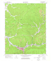
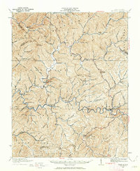
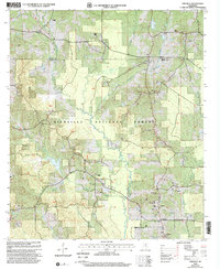
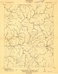
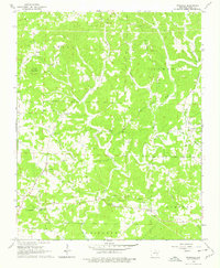
USGS Historical Quadrangle in GeoPDF.
USGS Historical Quadrangle in GeoPDF.
This dataset describes the Survey Data collected for the Planning Assistance to the States (PAS) study along Little Sugar Creek and selected tributaries, near Bella Vista, Arkansas, and Pineville, Missouri, December 2019. Little Sugar Creek is a tributary to the Elk River in Missouri that commences in Benton County, Arkansas and terminates in McDonald County, Missouri. The stream headwaters are located southeast of Garfield, Arkansas. Little Sugar Creek flows through Bella Vista, Arkansas, and runs north to its confluence with the Big Sugar Creek just south of Pineville, Missouri where it forms the Elk River. Browning Creek, Blowing Spring Creek, Spanker Creek and McKisic Creek are all tributaries to the Little...
Categories: Data;
Types: Map Service,
OGC WFS Layer,
OGC WMS Layer,
OGC WMS Service;
Tags: ASCII,
Arkansas,
Bella Vista,
Hydrology,
Missouri,
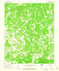
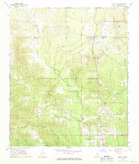
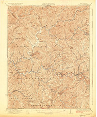
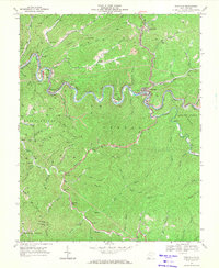
USGS Historical Quadrangle in GeoPDF.
USGS Historical Quadrangle in GeoPDF.
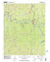
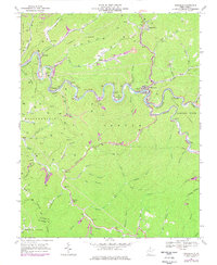
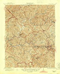
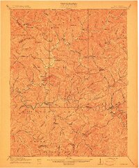
USGS Historical Quadrangle in GeoPDF.
USGS Historical Quadrangle in GeoPDF.
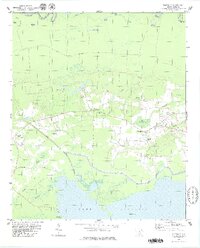
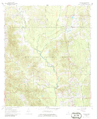
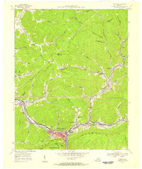
USGS Historical Quadrangle in GeoPDF.
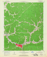
USGS Historical Quadrangle in GeoPDF.

USGS Historical Quadrangle in GeoPDF.
USGS Historical Quadrangle in GeoPDF.
USGS Historical Quadrangle in GeoPDF.
USGS Historical Quadrangle in GeoPDF.
USGS Historical Quadrangle in GeoPDF.

USGS Historical Quadrangle in GeoPDF.
USGS Historical Quadrangle in GeoPDF.
USGS Historical Quadrangle in GeoPDF.
USGS Historical Quadrangle in GeoPDF.
USGS Historical Quadrangle in GeoPDF.
USGS Historical Quadrangle in GeoPDF.
|

|
