Filters: Tags: RED SHIRT (X)
4 results (33ms)|
Filters
Date Range
Contacts
Tag Types Tag Schemes |
This metadata is for all coverages associated with the vegetation land cover and land use geospatial database for Badlands National Park and surrounding areas. The project is authorized as part of the USGS/NPS Vegetation Mapping Program http://www.usgs.gov/core_science_systems/csas/vip/index.html. The program is being administered by the Biological Resources Division (BRD) of the United States Geological Survey (USGS). The USGS/BRD is responsible for overall management and oversight of all ongoing mapping efforts. This mapping effort was performed by the US Bureau of Reclamation's (USBR) Remote Sensing and GIS Group, Technical Service Center, Denver, CO. The vegetation mapping program is part of a larger Inventory...
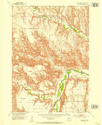
USGS Historical Quadrangle in GeoPDF.
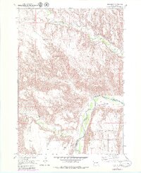
USGS Historical Quadrangle in GeoPDF.
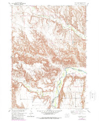
USGS Historical Quadrangle in GeoPDF.
|

|
