Filters: Tags: ROYAL GORGE (X)
15 results (72ms)|
Filters
Contacts
(Less)
|
This data release provides digital flight-line and gridded data for a high-resolution airborne magnetic and radiometric survey over the region surrounding the Wet Mountains of southern Colorado, including parts of Custer and Fremont Counties. Data for this survey were collected by Sander Geophysics Limited International (SGL) under contract with the USGS. The survey was flown in June and July of 2021 using a helicopter equipped with a magnetometer mounted in a stinger extending from the nose of the aircraft and a gamma-ray spectrometer stowed onboard. The helicopter pilots followed pre-planned flight paths in a grid-like pattern, with east-west lines spaced 150 meters apart and north-south lines spaced 1,000 meters...
Categories: Data;
Types: Downloadable,
Map Service,
OGC WFS Layer,
OGC WMS Layer,
Shapefile;
Tags: "Mineral Resources"],
AASG,
Antelope Creek,
Arkansas River,
Association of State Geologists,
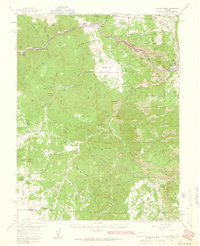
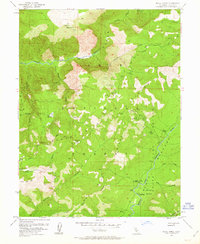
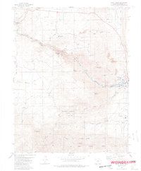
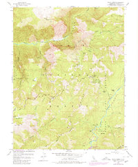
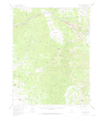
USGS Historical Quadrangle in GeoPDF.
USGS Historical Quadrangle in GeoPDF.
USGS Historical Quadrangle in GeoPDF.

USGS Historical Quadrangle in GeoPDF.
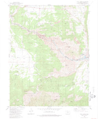
USGS Historical Quadrangle in GeoPDF.
USGS Historical Quadrangle in GeoPDF.
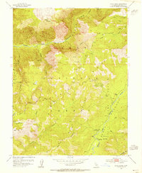
USGS Historical Quadrangle in GeoPDF.
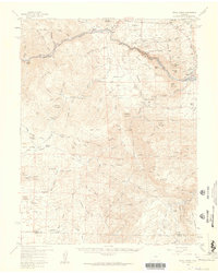
USGS Historical Quadrangle in GeoPDF.
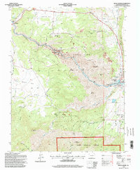
USGS Historical Quadrangle in GeoPDF.
Magnetic data collected as part of a high-resolution airborne magnetic and radiometric survey over the region surrounding the Wet Mountains of southern Colorado, including parts of Custer and Fremont Counties, are provided as digital flight-line and grid files. Magnetic surveys measure subtle variations in the Earth’s magnetic field and are sensitive to differences in the magnetic properties of rocks from ground level to many kilometers below. Data for this survey were collected by Sander Geophysics Limited International (SGL) under contract with the USGS. The survey was flown in June and July of 2021 using a helicopter equipped with a magnetometer mounted in a stinger extending from the nose of the aircraft. The...
Categories: Data;
Types: Downloadable,
GeoTIFF,
Map Service,
Raster;
Tags: AASG,
Antelope Creek,
Arkansas River,
Association of State Geologists,
Canon City,
Radiometric data collected as part of a high-resolution airborne magnetic and radiometric survey over the region surrounding the Wet Mountains of southern Colorado, including parts of Custer and Fremont Counties, are provided as digital flight-line and grid files. Radiometric (or gamma-ray) surveys measure naturally occurring low-level radiation and are sensitive to the presence of rocks near the surface that are enriched in uranium, thorium, or potassium. Data for this survey were collected by Sander Geophysics Limited International (SGL) under contract with the USGS. The survey was flown in June and July of 2021 using a helicopter equipped with a gamma-ray spectrometer stowed onboard. The helicopter pilots followed...
Categories: Data;
Types: Downloadable,
GeoTIFF,
Map Service,
Raster;
Tags: AASG,
Aeroradiometric survey,
Antelope Creek,
Arkansas River,
Association of State Geologists,
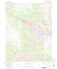
USGS Historical Quadrangle in GeoPDF.
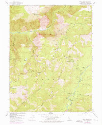
USGS Historical Quadrangle in GeoPDF.
USGS Historical Quadrangle in GeoPDF.
|

|
