Filters
Date Range
Extensions
Contacts
Categories
Tag Types
Tag Schemes
|
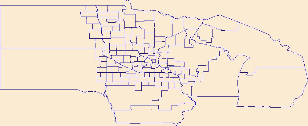
Geospatial data is comprised of government boundaries.
Types: Citation;
Tags: Aitkin,
Anoka,
Becker,
Beltrami,
Benton, All tags...
Big Stone,
Blue Earth,
Boundaries,
Brown,
Carlton,
Carver,
Cass,
Chippewa,
Chisago,
Clay,
Clearwater,
Cook,
Cottonwood,
County or Equivalent,
Crow Wing,
Dakota,
Dodge,
Douglas,
Downloadable Data,
Esri File GeoDatabase 10,
Faribault,
FileGDB,
Fillmore,
Freeborn,
Goodhue,
Grant,
Hennepin,
Houston,
Hubbard,
Incorporated Place,
Isanti,
Itasca,
Jackson,
Jurisdictional,
Kanabec,
Kandiyohi,
Kittson,
Koochiching,
Lac qui Parle,
Lake,
Lake of the Woods,
Le Sueur,
Lincoln,
Lyon,
MN,
Mahnomen,
Marshall,
Martin,
McLeod,
Meeker,
Mille Lacs,
Minnesota,
Minor Civil Division,
Morrison,
Mower,
Murray,
National Boundary Dataset (NBD),
National Boundary Dataset (NBD),
Native American Area,
Nicollet,
Nobles,
Norman,
Olmsted,
Otter Tail,
PLSS First Division,
PLSS Special Survey,
PLSS Township,
Pennington,
Pine,
Pipestone,
Polk,
Pope,
Public Land Survey System,
Ramsey,
Red Lake,
Redwood,
Renville,
Reserve,
Rice,
Rock,
Roseau,
Scott,
Sherburne,
Sibley,
St. Louis,
State,
State,
State or Territory,
Stearns,
Steele,
Stevens,
Swift,
Todd,
Traverse,
U.S. National Grid,
US,
Unincorporated Place,
United States,
Wabasha,
Wadena,
Waseca,
Washington,
Watonwan,
Wilkin,
Winona,
Wright,
Yellow Medicine,
boundaries,
boundary,
cadastral surveys,
geographic names,
land ownership,
land use maps,
legal land descriptions,
political and administrative boundaries,
zoning maps, Fewer tags
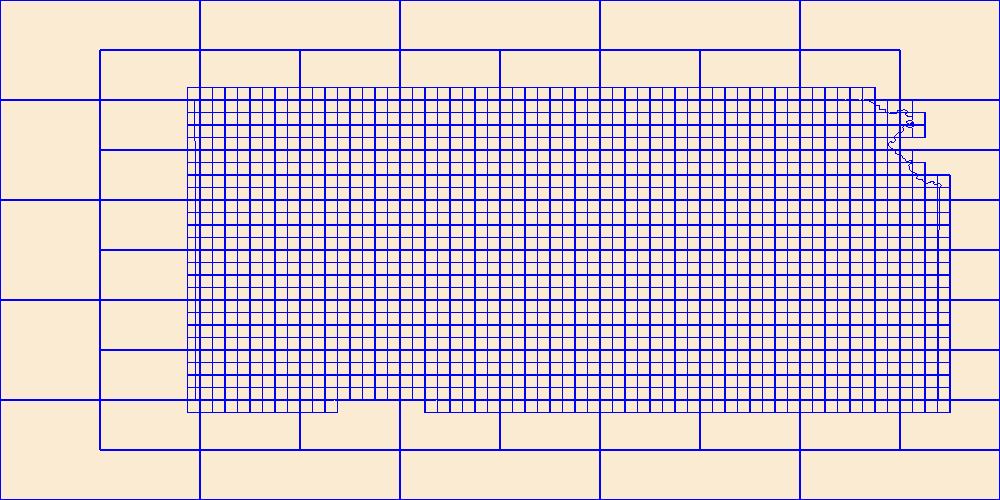
This data represents the map extent for current and historical USGS topographic maps for the United States and Territories, including 1 X 2 Degree, 1 X 1 Degree, 30 X 60 Minute, 15 X 15 Minute, 7.5 X 7.5 Minute, and 3.75 X 3.75 Minute. The grid was generated using ESRI ArcInfo GIS software.
Types: Citation;
Tags: Allen,
Anderson,
Atchison,
Barber,
Barton, All tags...
Boundaries,
Bourbon,
Brown,
Butler,
Chase,
Chautauqua,
Cherokee,
Cheyenne,
Clark,
Clay,
Cloud,
Coffey,
Comanche,
Cowley,
Crawford,
Decatur,
Dickinson,
Doniphan,
Douglas,
Downloadable Data,
Edwards,
Elk,
Ellis,
Ellsworth,
Esri Shapefile nan,
Finney,
Ford,
Franklin,
Geary,
Gove,
Graham,
Grant,
Gray,
Greeley,
Greenwood,
Hamilton,
Harper,
Harvey,
Haskell,
Hodgeman,
Jackson,
Jefferson,
Jewell,
Johnson,
KS,
Kansas,
Kearny,
Kingman,
Kiowa,
Labette,
Lane,
Leavenworth,
Lincoln,
Linn,
Logan,
Lyon,
Map Indices,
Map Indices,
Map Indices,
Marion,
Marshall,
McPherson,
Meade,
Miami,
Mitchell,
Montgomery,
Morris,
Morton,
Nemaha,
Neosho,
Ness,
Norton,
Osage,
Osborne,
Ottawa,
Pawnee,
Phillips,
Pottawatomie,
Pratt,
Rawlins,
Reno,
Republic,
Rice,
Riley,
Rooks,
Rush,
Russell,
Saline,
Scott,
Sedgwick,
Seward,
Shapefile,
Shawnee,
Sheridan,
Sherman,
Smith,
Stafford,
Stanton,
State,
State,
Stevens,
Sumner,
Thomas,
Trego,
US,
United States,
United States of America,
Wabaunsee,
Wallace,
Washington,
Wichita,
Wilson,
Woodson,
Wyandotte,
cells,
map indices,
polygon grid, Fewer tags
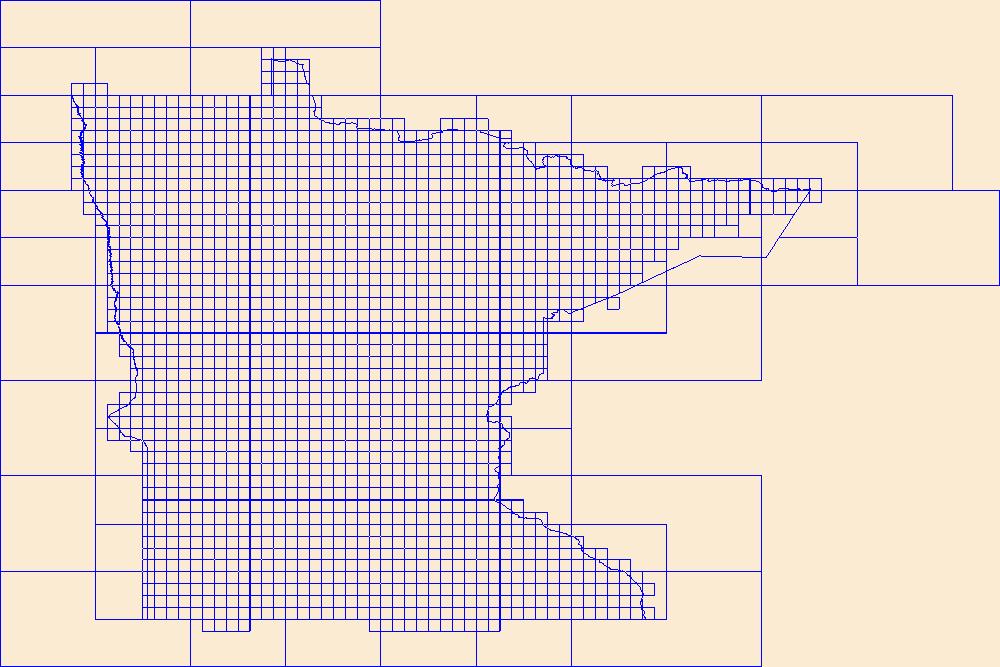
This data represents the map extent for current and historical USGS topographic maps for the United States and Territories, including 1 X 2 Degree, 1 X 1 Degree, 30 X 60 Minute, 15 X 15 Minute, 7.5 X 7.5 Minute, and 3.75 X 3.75 Minute. The grid was generated using ESRI ArcInfo GIS software.
Types: Citation;
Tags: Aitkin,
Anoka,
Becker,
Beltrami,
Benton, All tags...
Big Stone,
Blue Earth,
Boundaries,
Brown,
Carlton,
Carver,
Cass,
Chippewa,
Chisago,
Clay,
Clearwater,
Cook,
Cottonwood,
Crow Wing,
Dakota,
Dodge,
Douglas,
Downloadable Data,
Esri Shapefile nan,
Faribault,
Fillmore,
Freeborn,
Goodhue,
Grant,
Hennepin,
Houston,
Hubbard,
Isanti,
Itasca,
Jackson,
Kanabec,
Kandiyohi,
Kittson,
Koochiching,
Lac qui Parle,
Lake,
Lake of the Woods,
Le Sueur,
Lincoln,
Lyon,
MN,
Mahnomen,
Map Indices,
Map Indices,
Map Indices,
Marshall,
Martin,
McLeod,
Meeker,
Mille Lacs,
Minnesota,
Morrison,
Mower,
Murray,
Nicollet,
Nobles,
Norman,
Olmsted,
Otter Tail,
Pennington,
Pine,
Pipestone,
Polk,
Pope,
Ramsey,
Red Lake,
Redwood,
Renville,
Rice,
Rock,
Roseau,
Scott,
Shapefile,
Sherburne,
Sibley,
St. Louis,
State,
State,
Stearns,
Steele,
Stevens,
Swift,
Todd,
Traverse,
US,
United States,
United States of America,
Wabasha,
Wadena,
Waseca,
Washington,
Watonwan,
Wilkin,
Winona,
Wright,
Yellow Medicine,
cells,
map indices,
polygon grid, Fewer tags
We performed plant removal (devegetation) experiments across a suite of ecologically diverse wetland settings (tidal salt marshes, river floodplain, rotational rice fields, and freshwater wetlands with permanent or seasonal flooding) to determine the extent to which the presence (or absence) of actively growing plants influences the activity of the Hg(II)-methylating microbial community and the availability of Hg(II) to those microbes. Vegetated control plots were paired with neighboring devegetated plots in which photosynthetic input was terminated 4–8 months prior to measurements, through clipping aboveground biomass, severing belowground connections, and shading the sediment surface to prevent regrowth. Across...
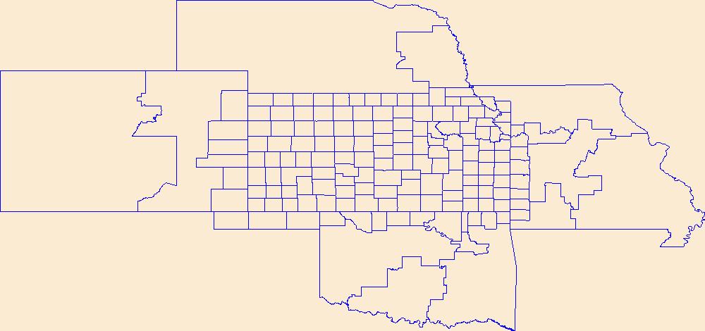
Geospatial data is comprised of government boundaries.
Types: Citation;
Tags: Allen,
Anderson,
Atchison,
Barber,
Barton, All tags...
Boundaries,
Bourbon,
Brown,
Butler,
Chase,
Chautauqua,
Cherokee,
Cheyenne,
Clark,
Clay,
Cloud,
Coffey,
Comanche,
County or Equivalent,
Cowley,
Crawford,
Decatur,
Dickinson,
Doniphan,
Douglas,
Downloadable Data,
Edwards,
Elk,
Ellis,
Ellsworth,
Esri File GeoDatabase 10,
FileGDB,
Finney,
Ford,
Franklin,
Geary,
Gove,
Graham,
Grant,
Gray,
Greeley,
Greenwood,
Hamilton,
Harper,
Harvey,
Haskell,
Hodgeman,
Incorporated Place,
Jackson,
Jefferson,
Jewell,
Johnson,
Jurisdictional,
KS,
Kansas,
Kearny,
Kingman,
Kiowa,
Labette,
Lane,
Leavenworth,
Lincoln,
Linn,
Logan,
Lyon,
Marion,
Marshall,
McPherson,
Meade,
Miami,
Minor Civil Division,
Mitchell,
Montgomery,
Morris,
Morton,
National Boundary Dataset (NBD),
National Boundary Dataset (NBD),
Native American Area,
Nemaha,
Neosho,
Ness,
Norton,
Osage,
Osborne,
Ottawa,
PLSS First Division,
PLSS Special Survey,
PLSS Township,
Pawnee,
Phillips,
Pottawatomie,
Pratt,
Public Land Survey System,
Rawlins,
Reno,
Republic,
Reserve,
Rice,
Riley,
Rooks,
Rush,
Russell,
Saline,
Scott,
Sedgwick,
Seward,
Shawnee,
Sheridan,
Sherman,
Smith,
Stafford,
Stanton,
State,
State,
State or Territory,
Stevens,
Sumner,
Thomas,
Trego,
U.S. National Grid,
US,
Unincorporated Place,
United States,
Wabaunsee,
Wallace,
Washington,
Wichita,
Wilson,
Woodson,
Wyandotte,
boundaries,
boundary,
cadastral surveys,
geographic names,
land ownership,
land use maps,
legal land descriptions,
political and administrative boundaries,
zoning maps, Fewer tags
|
|

