Filters: Tags: Roads (X)
316 results (78ms)|
Filters
|
The Great Plains Landscape Conservation Cooperative (GPLCC, https://www.fws.gov/science/catalog) is a partnership that provides applied science and decision support tools to assist natural resource managers conserve plants, fish and wildlife in the mid- and short-grass prairie of the southern Great Plains. It is part of a national network of public-private partnerships — known as Landscape Conservation Cooperatives (LCCs, http://www.fws.gov/science/shc/lcc.html) — that work collaboratively across jurisdictions and political boundaries to leverage resources and share science capacity. The Great Plains LCC identifies science priorities for the region and helps foster science that addresses these priorities to support...
U.S. Fish and Wildlife Service Road Inventory
Categories: Data;
Types: ArcGIS REST Map Service,
ArcGIS Service Definition,
Citation,
Downloadable,
Map Service,
OGC WFS Layer,
OGC WMS Layer,
Shapefile;
Tags: Bridge,
CRV,
Condition,
Culvert,
GIS,
This data set represents cattleguards in the BLM Cody Field Office area.
Categories: Data;
Types: Downloadable;
Tags: BLM,
BLM Cody Field Office,
Casper Field Office,
Cattleguards,
Federal Government,
This basedata service provides a cached service for users of Wyoming geospatial data using ESRI GIS. The service provides basedata for: Roads, Waterbodies, Rivers/Streams, Cities and County Boundaries. USE CONSTRAINTS: Users should follow use constraints found for each data layer available in the mapping service. Visit the Wyoming GeoLibrary for original metadata. WYGISC DOES NOT GUARANTEE 24/7 SUPPORT OF ITS UNFUNDED, FREE MAPPING SERVICES. WyGISC reserves the right to remove access to these services at any time.
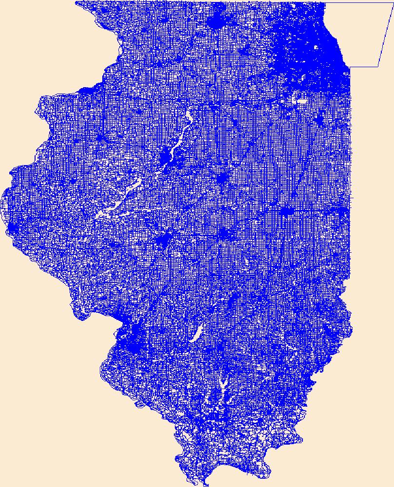
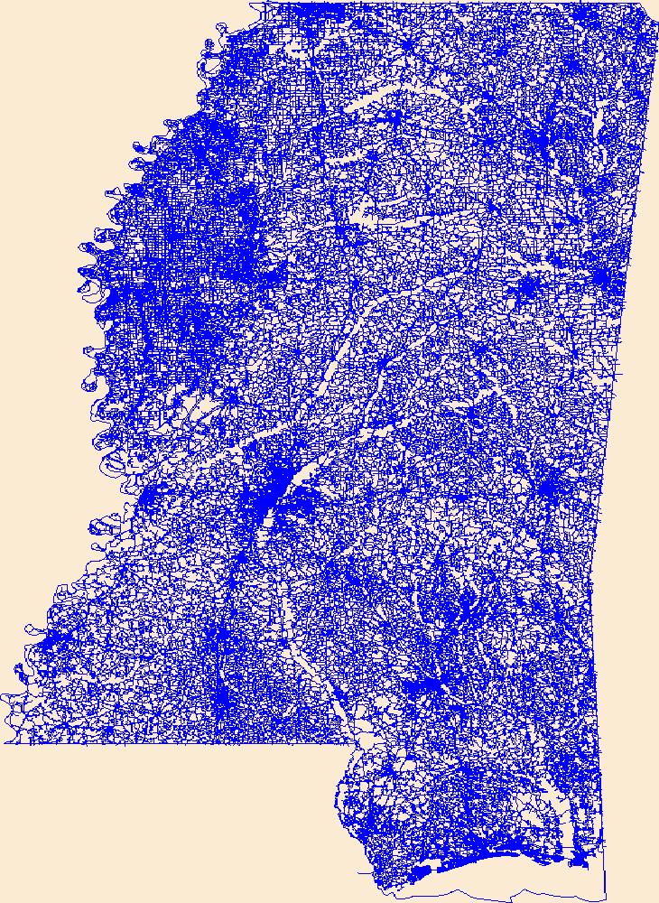
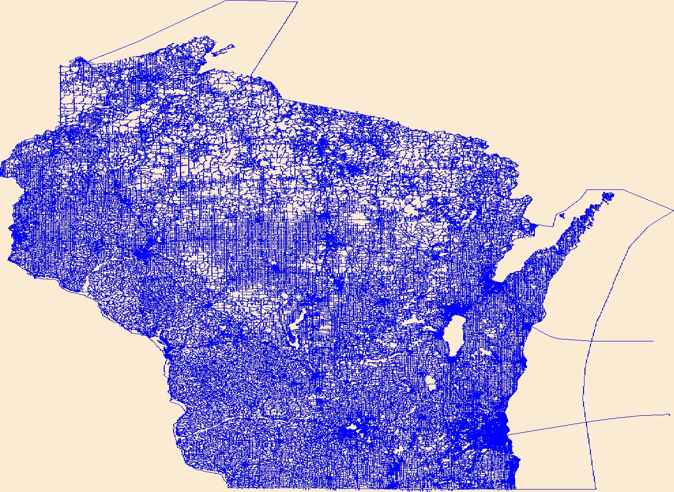
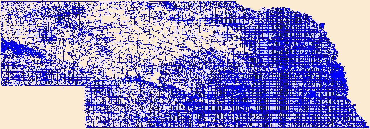
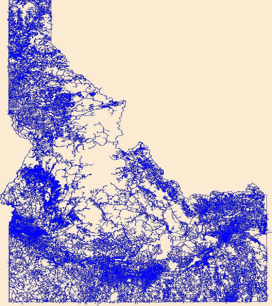
The TIGER/Line shapefiles and related database files (.dbf) are an extract of selected geographic and cartographic information from the U.S. Census Bureau's Master Address File / Topologically Integrated Geographic Encoding and Referencing (MAF/TIGER) Database (MTDB). The MTDB represents a seamless national file with no overlaps or gaps between parts, however, each TIGER/Line shapefile is designed to stand alone as an independent data set, or they can be combined to cover the entire nation. The All Roads Shapefile includes all features within the MTDB Super Class "Road/Path Features" distinguished where the MAF/TIGER Feature Classification Code (MTFCC) for the feature in MTDB that begins with "S". This includes...
Types: Downloadable;
Tags: Address Range,
BLM,
Bureau of Land Management,
County or equivalent entity,
DOI,
The TIGER/Line Files are shapefiles and related database files (.dbf) that are an extract of selected geographic and cartographic information from the U.S. Census Bureau's Master Address File / Topologically Integrated Geographic Encoding and Referencing (MAF/TIGER) Database (MTDB). The MTDB represents a seamless national file with no overlaps or gaps between parts, however, each TIGER/Line File is designed to stand alone as an independent data set, or they can be combined to cover the entire nation. The All Roads Shapefile includes all features within the MTDB Super Class "Road/Path Features" distinguished where the MAF/TIGER Feature Classification Code (MTFCC) for the feature in MTDB tha begin with "S". This includes...
Types: Downloadable;
Tags: Address Range,
BLM,
Bureau of Land Management,
County or equivalent entity,
DOI,
Road features were identified using TIGER line data and those features mapped as freeways, secondary roads and local roads were selected. A proximity analysis was performed and then assigned scores based on the metric values that included ratings where distance from roads greater than 1000 meters was scored as preferred, 300 - 1,000 meters was scored as moderate and less than 300 meters was considered lower quality.
Roads bioclimatic factor defined to graphically represent the affinities of terrestrial invasive species throughout the ecoregion
This map shows the trails and unpaved access roads in the study area. These data are provided by Bureau of Land Management (BLM) "as is" and may contain errors or omissions. The User assumes the entire risk associated with its use of these data and bears all responsibility in determining whether these data are fit for the User's intended use. These data may not have the accuracy, resolution, completeness, timeliness, or other characteristics appropriate for applications that potential users of the data may contemplate. The User is encouraged to carefully consider the content of the metadata file associated with these data. The BLM should be cited as the data source in any products derived from these data.
This data depicts infrastructure locations in Alaska as digitized primarily from 1:24,000, 1:63,360, and 1:250,000 USGS quadrangles. The source document that represented the newest information and best geographic location was used to capture the data. All infrastructure from the primary source document was digitized and then supplemented with the information from other source documents for additional or updated infrastructure or attributes.
USGS Historical Quadrangle in GeoPDF.
These case study sites are detailed in the report accompanying this data layer. The case studies are intended to serve as examples of how some of the opportunities for diverse stakeholders to engage in the process of mitigating road impacts on wildlife that are described in the report might be applied on the ground, as well as other considerations that come into play in selecting sites for possible mitigation and designing mitigation solutions for those sites. Through these case studies, we illustrate potential opportunities for mitigation and partner engagement for each of the four alternative priority sets identified in this study.Wildlife carcasses recorded by Montana Department of Transportation, Idaho Department...
Categories: Data;
Types: ArcGIS REST Map Service,
ArcGIS Service Definition,
Downloadable,
Map Service,
OGC WFS Layer,
OGC WMS Layer,
OGC WMS Service,
Shapefile;
Tags: AADT,
AADT,
Carnivores,
Carnivores,
Connectivity,
A vector line file of public/private streets compiled from orthoimagery and other sources that is attributed with street names, addresses, route numbers, routing attributes, and includes a related table of alternate/alias street names. If the purpose of using NYS Streets is for geocoding, the New York State Office of Information Technology Services (NYS ITS) has a publicly available geocoding service which includes the NYS Streets along with other layers. For more information about the geocoding service, please visit http://gis.ny.gov/gisdata/inventories/details.cfm?DSID=1278.
Categories: Data;
Types: ArcGIS REST Map Service,
ArcGIS Service Definition,
Citation,
Downloadable,
Map Service;
Tags: ALIS,
ALIS,
Accident Location Information System,
Accident Location Information System,
Centerline,
Layers of geospatial data include roads, airports, trails, and railroads.
Layers of geospatial data include roads, airports, trails, and railroads.

Layers of geospatial data include roads, airports, trails, and railroads.
Layers of geospatial data include roads, airports, trails, and railroads.
Layers of geospatial data include roads, airports, trails, and railroads.
Layers of geospatial data include roads, airports, trails, and railroads.
|

|
