Filters: Tags: SUSSEX (X)
599 results (94ms)|
Filters
Date Range
Types Contacts
Categories Tag Types Tag Schemes |
The Geographic Names Information System (GNIS) is the Federal standard for geographic nomenclature. The U.S. Geological Survey developed the GNIS for the U.S. Board on Geographic Names, a Federal inter-agency body chartered by public law to maintain uniform feature name usage throughout the Government and to promulgate standard names to the public. The GNIS is the official repository of domestic geographic names data; the official vehicle for geographic names use by all departments of the Federal Government; and the source for applying geographic names to Federal electronic and printed products of all types.
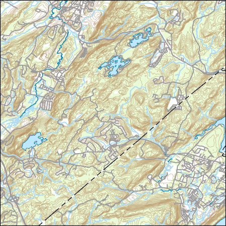
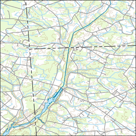
Layers of geospatial data include contours, boundaries, land cover, hydrography, roads, transportation, geographic names, structures, and other selected map features.
Types: Citation;
Tags: 7.5 x 7.5 minute,
7_5_Min,
Combined Vector,
Combined Vector,
Combined Vector,
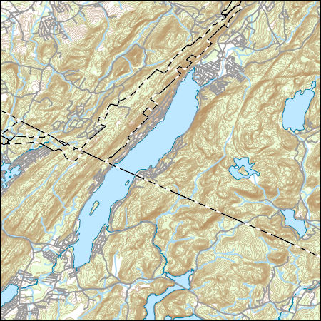
Layers of geospatial data include contours, boundaries, land cover, hydrography, roads, transportation, geographic names, structures, and other selected map features.
Types: Citation;
Tags: 7.5 x 7.5 minute,
7_5_Min,
Combined Vector,
Combined Vector,
Combined Vector,
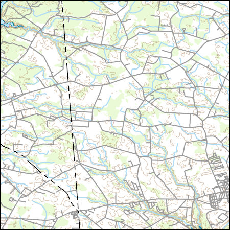
Layers of geospatial data include contours, boundaries, land cover, hydrography, roads, transportation, geographic names, structures, and other selected map features.

Layers of geospatial data include contours, boundaries, land cover, hydrography, roads, transportation, geographic names, structures, and other selected map features.
Layers of geospatial data include contours, boundaries, land cover, hydrography, roads, transportation, geographic names, structures, and other selected map features.
Types: Citation;
Tags: 7.5 x 7.5 minute,
7_5_Min,
Combined Vector,
Combined Vector,
Combined Vector,
Layers of geospatial data include contours, boundaries, land cover, hydrography, roads, transportation, geographic names, structures, and other selected map features.
Types: Citation;
Tags: 7.5 x 7.5 minute,
7_5_Min,
Combined Vector,
Combined Vector,
Combined Vector,
Layers of geospatial data include contours, boundaries, land cover, hydrography, roads, transportation, geographic names, structures, and other selected map features.
Layers of geospatial data include contours, boundaries, land cover, hydrography, roads, transportation, geographic names, structures, and other selected map features.
Types: Citation;
Tags: 7.5 x 7.5 minute,
7_5_Min,
Combined Vector,
Combined Vector,
Combined Vector,
Layers of geospatial data include contours, boundaries, land cover, hydrography, roads, transportation, geographic names, structures, and other selected map features.
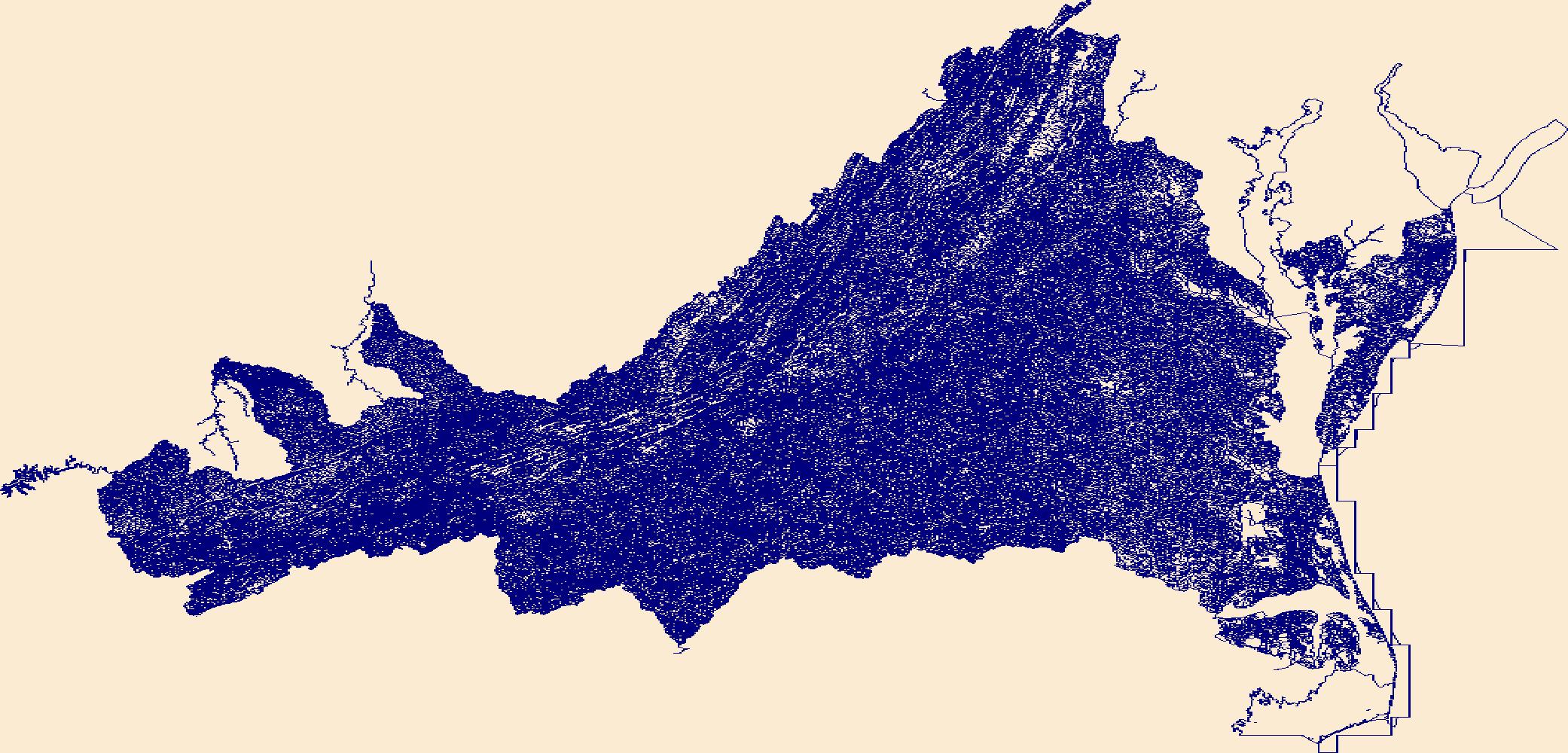
The National Hydrography Dataset (NHD) is a feature-based database that interconnects and uniquely identifies the stream segments or reaches that make up the nation's surface water drainage system. NHD data was originally developed at 1:100,000-scale and exists at that scale for the whole country. This high-resolution NHD, generally developed at 1:24,000/1:12,000 scale, adds detail to the original 1:100,000-scale NHD. (Data for Alaska, Puerto Rico and the Virgin Islands was developed at high-resolution, not 1:100,000 scale.) Local resolution NHD is being developed where partners and data exist. The NHD contains reach codes for networked features, flow direction, names, and centerline representations for areal water...
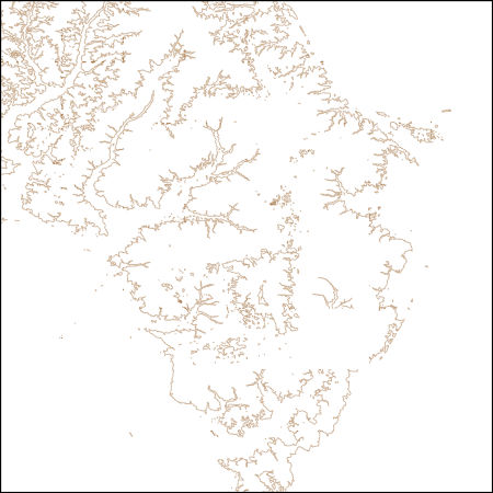
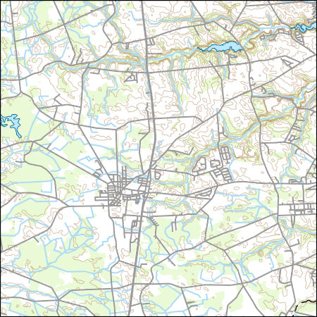
USGS NED 1/3 arc-second Contours for Salisbury W, Maryland 1 x 1 degree (published 20240112) FileGDB
These vector contour lines are derived from the 3D Elevation Program using automated and semi-automated processes. They were created to support 1:24,000-scale CONUS and Hawaii, 1:25,000-scale Alaska, and 1:20,000-scale Puerto Rico / US Virgin Island topographic map products, but are also published in this GIS vector format. Contour intervals are assigned by 7.5-minute quadrangle, so this vector dataset is not visually seamless across quadrangle boundaries. The vector lines have elevation attributes (in feet above mean sea level on NAVD88), but this dataset does not carry line symbols or annotation.
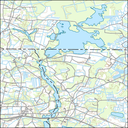
Layers of geospatial data include contours, boundaries, land cover, hydrography, roads, transportation, geographic names, structures, and other selected map features.
Types: Citation;
Tags: 7.5 x 7.5 minute,
7_5_Min,
Combined Vector,
Combined Vector,
Combined Vector,
Core Research Center, core A838, from well operated by BROOKS EXPLORATIONRaw Properties from download, web scrape, MapServer, and Macrostrat API{"Lib Num": "A838", "API Num": "0512308547", "Operator": "BROOKS EXPLORATION", "Well Name": "1 M LEFFLER", "Field": "WILDCAT", "State": "CO", "County": "WELD", "Type": "SLABBED", "Photos": "T", "Thin Sec": "F", "Analysis": "T", "Latitude": "40.479173", "Longitude": "-104.785343", "coordinates_geohash": "9xjqr918k8c0", "Source": "FROM STATE RECORDS", "Security Flag": "NO SPECIAL RESTRICTIONS", "crc_collection_name": "core", "sb_parent_id": "4f4e49dae4b07f02db5e0486", "intervals": [{"Formation": "SUSSEX", "Age": "CRET", "Min Depth": "4380", "Max Depth": "4412"}], "crcwc_url":...
Core Research Center, core F014, from well operated by LOUISIANA LAND & EXPRaw Properties from download, web scrape, MapServer, and Macrostrat API{"Lib Num": "F014", "API Num": "4900922400", "Operator": "LOUISIANA LAND & EXP", "Well Name": "43-3 HIGHLAND FLATS FEDERAL", "Field": "HORNBUCKLE", "State": "WY", "County": "CONVERSE", "Type": "SLABBED", "Photos": "T", "Thin Sec": "F", "Analysis": "T", "Latitude": "43.20587", "Longitude": "-105.60264", "coordinates_geohash": "9xsvucqs2jum", "Source": "FROM STATE RECORDS", "Security Flag": "NO SPECIAL RESTRICTIONS", "crc_collection_name": "core", "sb_parent_id": "4f4e49dae4b07f02db5e0486", "intervals": [{"Formation": "PARKMAN", "Age": "CRET", "Min Depth": "8676", "Max Depth":...
Core Research Center, core S141, from well operated by TEXAS AMERICAN OILRaw Properties from download, web scrape, MapServer, and Macrostrat API{"Lib Num": "S141", "API Num": "0500107678", "Operator": "TEXAS AMERICAN OIL", "Well Name": "15 JOHN EHLER", "Field": "SPINDLE", "State": "CO", "County": "ADAMS", "Type": "FULL", "Photos": "F", "Thin Sec": "F", "Analysis": "T", "Latitude": "39.963149", "Longitude": "-104.867741", "coordinates_geohash": "9xj7mejdhwbv", "Source": "FROM STATE RECORDS", "Security Flag": "NO SPECIAL RESTRICTIONS", "crc_collection_name": "core", "sb_parent_id": "4f4e49dae4b07f02db5e0486", "intervals": [{"Formation": "SUSSEX", "Age": "CRET", "Min Depth": "5042", "Max Depth": "5075"}], "crcwc_url":...
Core Research Center, core A781, from well operated by AMOCO PRODUCTIONRaw Properties from download, web scrape, MapServer, and Macrostrat API{"Lib Num": "A781", "API Num": "0512308819", "Operator": "AMOCO PRODUCTION", "Well Name": "3 MLYENEK", "Field": "SPINDLE", "State": "CO", "County": "WELD", "Type": "SLABBED", "Photos": "T", "Thin Sec": "F", "Analysis": "T", "Latitude": "40.108147", "Longitude": "-105.005556", "coordinates_geohash": "9xjk4t3qchw2", "Source": "FROM STATE RECORDS", "Security Flag": "NO SPECIAL RESTRICTIONS", "crc_collection_name": "core", "sb_parent_id": "4f4e49dae4b07f02db5e0486", "intervals": [{"Formation": "SUSSEX", "Age": "CRET", "Min Depth": "4493", "Max Depth": "4550"}], "crcwc_url": "https://my.usgs.gov/crcwc/core/report/8650",...
Core Research Center, core T031, from well operated by CELSIUS ENERGYRaw Properties from download, web scrape, MapServer, and Macrostrat API{"Lib Num": "T031", "API Num": "4900922276", "Operator": "CELSIUS ENERGY", "Well Name": "9-2 POWELL FEDERAL", "Field": "POWELL", "State": "WY", "County": "CONVERSE", "Type": "FULL", "Photos": "F", "Thin Sec": "F", "Analysis": "F", "Latitude": "43.368441", "Longitude": "-105.745763", "coordinates_geohash": "9xsy9wyr3pk5", "Source": "PROVIDED BY DONOR", "Security Flag": "NO SPECIAL RESTRICTIONS", "crc_collection_name": "core", "sb_parent_id": "4f4e49dae4b07f02db5e0486", "intervals": [{"Formation": "PARKMAN", "Age": "CRETACEOUS", "Min Depth": "8801", "Max Depth": "8855"}, {"Formation":...
Core Research Center, core F101, from well operated by AMOCORaw Properties from download, web scrape, MapServer, and Macrostrat API{"Lib Num": "F101", "API Num": "0512308069", "Operator": "AMOCO", "Well Name": "9 SUCKLA BROWN", "Field": "SPINDLE", "State": "CO", "County": "WELD", "Type": "SLABBED", "Photos": "T", "Thin Sec": "F", "Analysis": "T", "Latitude": "40.067108", "Longitude": "-104.879292", "coordinates_geohash": "9xj7vmvpz679", "Source": "PROVIDED BY DONOR", "Security Flag": "NO SPECIAL RESTRICTIONS", "crc_collection_name": "core", "sb_parent_id": "4f4e49dae4b07f02db5e0486", "intervals": [{"Formation": "SUSSEX", "Age": "CRETACEOUS", "Min Depth": "4716", "Max Depth": "4768"}, {"Formation": "SUSSEX", "Age":...
Categories: Physical Item;
Tags: CRETACEOUS,
CRETACEOUS,
Eolium (Windblown Clay, Silt (Loess), Sand And Granules),
SUSSEX,
SUSSEX,
Core Research Center, core B012, from well operated by AMOCO PRODUCTIONRaw Properties from download, web scrape, MapServer, and Macrostrat API{"Lib Num": "B012", "API Num": "0512309285", "Operator": "AMOCO PRODUCTION", "Well Name": "E-4 ROCKY MOUNTAIN", "Field": "SPINDLE", "State": "CO", "County": "WELD", "Type": "SLABBED", "Photos": "T", "Thin Sec": "F", "Analysis": "T", "Latitude": "40.10396", "Longitude": "-104.92654", "coordinates_geohash": "9xjkhkdy6rvp", "Source": "FROM STATE RECORDS", "Security Flag": "NO SPECIAL RESTRICTIONS", "crc_collection_name": "core", "sb_parent_id": "4f4e49dae4b07f02db5e0486", "intervals": [{"Formation": "SUSSEX", "Age": "CRET", "Min Depth": "4570", "Max Depth": "4661"}], "crcwc_url":...
|

|
