Filters: Tags: Sacramento (X)
183 results (38ms)|
Filters
Date Range
Extensions Types Contacts
Categories Tag Types
|

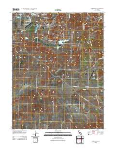
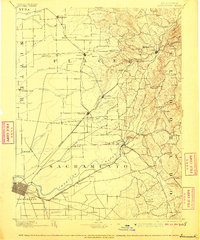
USGS Historical Quadrangle in GeoPDF.
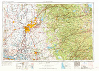
USGS Historical Quadrangle in GeoPDF.

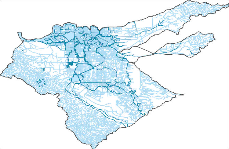
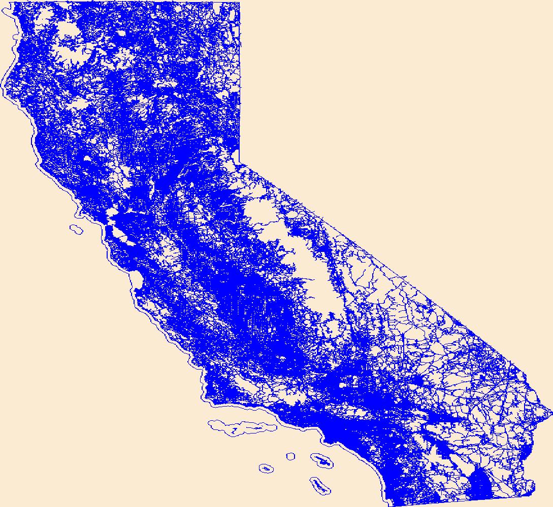
The National Hydrography Dataset (NHD) is a feature-based database that interconnects and uniquely identifies the stream segments or reaches that make up the nation's surface water drainage system. NHD data was originally developed at 1:100,000-scale and exists at that scale for the whole country. This high-resolution NHD, generally developed at 1:24,000/1:12,000 scale, adds detail to the original 1:100,000-scale NHD. (Data for Alaska, Puerto Rico and the Virgin Islands was developed at high-resolution, not 1:100,000 scale.) Local resolution NHD is being developed where partners and data exist. The NHD contains reach codes for networked features, flow direction, names, and centerline representations for areal water...
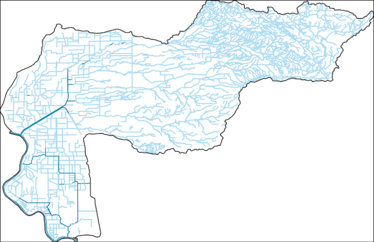
The National Hydrography Dataset (NHD) is a feature-based database that interconnects and uniquely identifies the stream segments or reaches that make up the nation's surface water drainage system. NHD data was originally developed at 1:100,000-scale and exists at that scale for the whole country. This high-resolution NHD, generally developed at 1:24,000/1:12,000 scale, adds detail to the original 1:100,000-scale NHD. (Data for Alaska, Puerto Rico and the Virgin Islands was developed at high-resolution, not 1:100,000 scale.) Local resolution NHD is being developed where partners and data exist. The NHD contains reach codes for networked features, flow direction, names, and centerline representations for areal water...
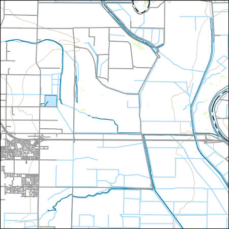
Layers of geospatial data include contours, boundaries, land cover, hydrography, roads, transportation, geographic names, structures, and other selected map features.
Layers of geospatial data include contours, boundaries, land cover, hydrography, roads, transportation, geographic names, structures, and other selected map features.
The National Hydrography Dataset (NHD) is a feature-based database that interconnects and uniquely identifies the stream segments or reaches that make up the nation's surface water drainage system. NHD data was originally developed at 1:100,000-scale and exists at that scale for the whole country. This high-resolution NHD, generally developed at 1:24,000/1:12,000 scale, adds detail to the original 1:100,000-scale NHD. (Data for Alaska, Puerto Rico and the Virgin Islands was developed at high-resolution, not 1:100,000 scale.) Local resolution NHD is being developed where partners and data exist. The NHD contains reach codes for networked features, flow direction, names, and centerline representations for areal water...
The USGS CAWSC Organic Matter Research Laboratory (OMRL) provides laboratory services and support to regional and national projects in the analysis of organic matter using the latest methods in absorbance and fluorescence spectroscopy. Optical measurements such as absorbance and fluorescence are used to gain insight into dissolved organic matter (DOM) composition, and can also serve as proxies for more expensive and difficult to obtain measurements. These techniques are relatively rapid and inexpensive and allow for the comprehensive tracking of DOM dynamics in aquatic ecosystems ranging from rivers and lakes to estuaries to open marine systems. Absorbance spectra and fluorescence matrices were simultaneously collected...
Categories: Data;
Tags: Aqualog,
California,
California Water Science Center,
Dissolved Organic Matter,
Fluorescence,
This data was developed to support the Santa Clara Valley Habitat Conservation Plan
Categories: Data;
Types: ArcGIS REST Map Service,
ArcGIS Service Definition,
Downloadable,
Map Service;
Tags: Habitat Conservation Plan,
Sacramento,
Santa Clara Valley,
US FWS
Layers of geospatial data include roads, airports, trails, and railroads.
We produced a series of maps of moist soil seed plants within managed wetlands in the Central Valley of California from 2007-2011 & 2013-2017. Moist soil seed plants, such as swamp timothy (Crypsis schoenoides) and watergrass (Echinochloa crusgallim), are a critical food source for migratory birds. For each of the Moist Soil Seed maps from 2007 to 2017, we mapped productivity of swamp timothy where swamp timothy was mapped according to a multiple regression of the average log seed head weight per Landsat pixel to Landsat derived values for green chlorophyll index (NIR/green - 1), swir1 reflectance, red green simple ratio (red/green) and SSURGO derived percent clay (STprod). For areas mapped as watergrass, we mapped...
Distant view of the Frisco Gold leach site.
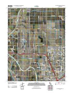
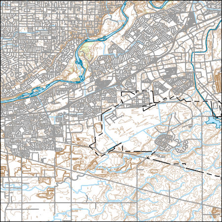
Layered GeoPDF 7.5 Minute Quadrangle Map. Layers of geospatial data include orthoimagery, roads, grids, geographic names, elevation contours, hydrography, and other selected map features.
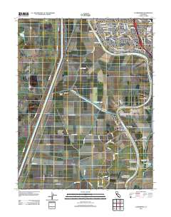
Layered GeoPDF 7.5 Minute Quadrangle Map. Layers of geospatial data include orthoimagery, roads, grids, geographic names, elevation contours, hydrography, and other selected map features.
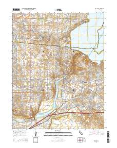
Layered GeoPDF 7.5 Minute Quadrangle Map. Layers of geospatial data include orthoimagery, roads, grids, geographic names, elevation contours, hydrography, and other selected map features.
Layered GeoPDF 7.5 Minute Quadrangle Map. Layers of geospatial data include orthoimagery, roads, grids, geographic names, elevation contours, hydrography, and other selected map features.
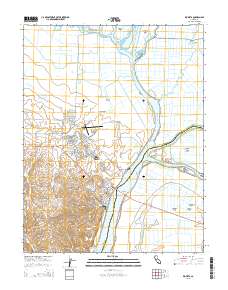
Layered GeoPDF 7.5 Minute Quadrangle Map. Layers of geospatial data include orthoimagery, roads, grids, geographic names, elevation contours, hydrography, and other selected map features.
Optical sensors measuring fluorescence of non-biological sources (e.g., dissolved organic matter, wastewater, hydrocarbons, fluorescent dyes, etc.; hereafter referred to as fDOM) are increasingly used in water quality studies because they provide proxy measurements for a variety of contaminants and constituents of concern including metals, wastewater effluent, and DOM (measured in the lab as dissolved organic carbon, (DOC)) concentrations. Similarly, sensors measuring biological (algal) fluorescence (hereafter referred to as chlorophyll (fChl) and phycocyanin (fPC), have gained popularity to measure phytoplankton concentration, biomass, and even primary productivity. As additional sensors are coupled with ongoing...
Categories: Data,
Data Release - Revised;
Tags: California,
California Water Science Center,
EXO YSI,
Organic Matter Research Laboratory,
Sacramento,
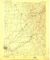
USGS Historical Quadrangle in GeoPDF.
USGS Historical Quadrangle in GeoPDF.
|

|
