Filters: Tags: Shannon (X)
463 results (140ms)|
Filters
Date Range
Types Contacts
Categories Tag Types Tag Schemes |
A Phelps Dodge locamotive at the Morenci mine.
A water truck spraying water on a haul road at the Morenci mine on the right with a haul truck on the left.
A drill rig and a power shovel on benches in the Morenci mine.
A view of the open pit at the Morenci mine.
ADMMR map collection: Morenci Mine Bit Shop; 1 in. to 10 feet; 23 x 20 in.
Categories: Data;
Tags: Abrasive, Garnet Andra,
Arizona,
Arizona Central,
Bon Ton,
Calcium, Limestone,
ADMMR map collection: Morenci Inclined Top-Slice System; 24 x 14 in.
Categories: Data;
Tags: Abrasive, Garnet Andra,
Arizona,
Arizona Central,
Bon Ton,
Calcium, Limestone,
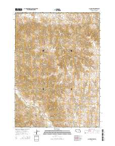
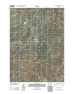
Layered GeoPDF 7.5 Minute Quadrangle Map. Layers of geospatial data include orthoimagery, roads, grids, geographic names, elevation contours, hydrography, and other selected map features.
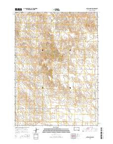
Layered GeoPDF 7.5 Minute Quadrangle Map. Layers of geospatial data include orthoimagery, roads, grids, geographic names, elevation contours, hydrography, and other selected map features.
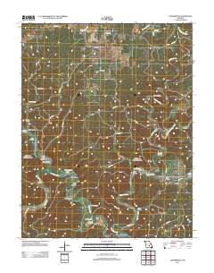
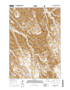
Layered GeoPDF 7.5 Minute Quadrangle Map. Layers of geospatial data include orthoimagery, roads, grids, geographic names, elevation contours, hydrography, and other selected map features.
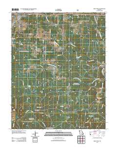
Layered GeoPDF 7.5 Minute Quadrangle Map. Layers of geospatial data include orthoimagery, roads, grids, geographic names, elevation contours, hydrography, and other selected map features.
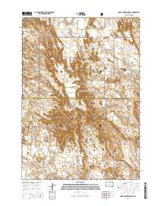
Layered GeoPDF 7.5 Minute Quadrangle Map. Layers of geospatial data include orthoimagery, roads, grids, geographic names, elevation contours, hydrography, and other selected map features.
Layered GeoPDF 7.5 Minute Quadrangle Map. Layers of geospatial data include orthoimagery, roads, grids, geographic names, elevation contours, hydrography, and other selected map features.
Layered GeoPDF 7.5 Minute Quadrangle Map. Layers of geospatial data include orthoimagery, roads, grids, geographic names, elevation contours, hydrography, and other selected map features.
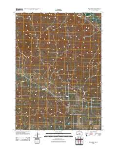
Layered GeoPDF 7.5 Minute Quadrangle Map. Layers of geospatial data include orthoimagery, roads, grids, geographic names, elevation contours, hydrography, and other selected map features.
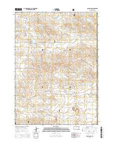
Layered GeoPDF 7.5 Minute Quadrangle Map. Layers of geospatial data include orthoimagery, roads, grids, geographic names, elevation contours, hydrography, and other selected map features.
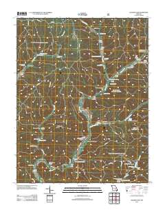
Layered GeoPDF 7.5 Minute Quadrangle Map. Layers of geospatial data include orthoimagery, roads, grids, geographic names, elevation contours, hydrography, and other selected map features.
Core Research Center, core D935, from well operated by CARDINAL DRILLINGRaw Properties from download, web scrape, MapServer, and Macrostrat API{"Lib Num": "D935", "API Num": "2508721308", "Operator": "CARDINAL DRILLING", "Well Name": "4-3 GREENLEAF", "Field": "WILDCAT", "State": "MT", "County": "ROSEBUD", "Type": "SLABBED", "Photos": "F", "Thin Sec": "F", "Analysis": "F", "Latitude": "45.78678", "Longitude": "-106.541469", "coordinates_geohash": "c8hhrx4z7f6t", "Source": "FROM STATE RECORDS", "Security Flag": "NO SPECIAL RESTRICTIONS", "crc_collection_name": "core", "sb_parent_id": "4f4e49dae4b07f02db5e0486", "intervals": [{"Formation": "SHANNON", "Age": "CRET", "Min Depth": "5439", "Max Depth": "5456"}, {"Formation":...
Core Research Center, core E148, from well operated by WOODS PETROLEUMRaw Properties from download, web scrape, MapServer, and Macrostrat API{"Lib Num": "E148", "API Num": "4900525930", "Operator": "WOODS PETROLEUM", "Well Name": "7-26 PINETREE UNIT", "Field": "PINETREE", "State": "WY", "County": "CAMPBELL", "Type": "SLABBED", "Photos": "T", "Thin Sec": "F", "Analysis": "F", "Latitude": "43.62373", "Longitude": "-105.92123", "coordinates_geohash": "9xu8jtqw8kwm", "Source": "FROM STATE RECORDS", "Security Flag": "NO SPECIAL RESTRICTIONS", "crc_collection_name": "core", "sb_parent_id": "4f4e49dae4b07f02db5e0486", "intervals": [{"Formation": "SHANNON", "Age": "CRET", "Min Depth": "10251", "Max Depth": "10299"}], "crcwc_url":...
Core Research Center, core S624, from well operated by DAVIS OIL COMPANYRaw Properties from download, web scrape, MapServer, and Macrostrat API{"Lib Num": "S624", "API Num": "4901920625", "Operator": "DAVIS OIL COMPANY", "Well Name": "61 CULP DRAW UNIT", "Field": "WC", "State": "WY", "County": "JOHNSON", "Type": "SLABBED", "Photos": "T", "Thin Sec": "F", "Analysis": "F", "Latitude": "44.01292", "Longitude": "-106.10437", "coordinates_geohash": "9xud3s31ufzq", "Source": "FROM STATE RECORDS", "Security Flag": "NO SPECIAL RESTRICTIONS", "crc_collection_name": "core", "sb_parent_id": "4f4e49dae4b07f02db5e0486", "intervals": [{"Formation": "SHANNON", "Age": "CRETACEOUS", "Min Depth": "8875", "Max Depth": "8905"}, {"Formation":...
Core Research Center, cutting HH01747, from well operated by SPYGLASS CEDAR CREEKRaw Properties from download, web scrape, MapServer, and Macrostrat API{"Lib Num": "HH01747", "API Num": "4006320641", "Operator": "SPYGLASS CEDAR CREEK", "Well Name": "8-8 STATE", "Field": "JUMPOFF", "State": "SD", "County": "HARDING", "Thin Sec": "F", "Analysis": "T", "Latitude": "45.45352", "Longitude": "-103.65091", "coordinates_geohash": "c8n696e9ywr8", "Source": "PROVIDED BY DONOR", "Min": "470", "Max": "1932", "Security Flag": null, "crc_collection_name": "cutting", "sb_parent_id": "4f4e49d8e4b07f02db5df2d2", "intervals": [{"Formation": "SHANNON", "Age": "CRETACEOUS", "Min Depth": "1594", "Max Depth": "1932"}, {"Formation": "EAGLE",...
Categories: Physical Item;
Tags: CRETACEOUS,
CRETACEOUS,
EAGLE,
Hell Creek Formation,
Hell Creek Formation,
|

|
