Filters
Date Range
Extensions
Types
Contacts
Categories
Tag Types
Tag Schemes
|
The Geographic Names Information System (GNIS) is the Federal standard for geographic nomenclature. The U.S. Geological Survey developed the GNIS for the U.S. Board on Geographic Names, a Federal inter-agency body chartered by public law to maintain uniform feature name usage throughout the Government and to promulgate standard names to the public. The GNIS is the official repository of domestic geographic names data; the official vehicle for geographic names use by all departments of the Federal Government; and the source for applying geographic names to Federal electronic and printed products of all types.
Tags: Adair,
Allen,
Anderson,
Antarctica,
Antarctica, All tags...
BGN,
Ballard,
Barren,
Bath,
Bell,
Board on Geographic Names,
Boone,
Borough,
Bourbon,
Boyd,
Boyle,
Bracken,
Breathitt,
Breckinridge,
Bullitt,
Butler,
Caldwell,
Calloway,
Campbell,
Carlisle,
Carroll,
Carter,
Casey,
Census Area,
Christian,
Clark,
Clay,
Clinton,
Commonwealth,
County,
Crittenden,
Cumberland,
Daviess,
District,
Downloadable Data,
Edmonson,
Elliott,
Estill,
Fayette,
Feature class,
Feature coordinates,
Feature county,
Feature description,
Feature designation,
Feature history,
Feature indentification,
Feature name,
Feature state,
Fleming,
Floyd,
Franklin,
Fulton,
GNIS,
Gallatin,
Garrard,
Geographic Names,
Geographic Names Domestic Names,
Geographic Names Information System,
Geographic feature,
Geographic name,
Geographical feature,
Geographical name,
Grant,
Graves,
Grayson,
Green,
Greenup,
Hancock,
Hardin,
Harlan,
Harrison,
Hart,
Henderson,
Henry,
Hickman,
Hopkins,
Jackson,
Jefferson,
Jessamine,
Johnson,
KY,
Kenton,
Kentucky,
Knott,
Knox,
Larue,
Laurel,
Lawrence,
Lee,
Leslie,
Letcher,
Lewis,
Lincoln,
Livingston,
Logan,
Lyon,
Madison,
Magoffin,
Marion,
Marshall,
Martin,
Mason,
McCracken,
McCreary,
McLean,
Meade,
Menifee,
Mercer,
Metcalfe,
Monroe,
Montgomery,
Morgan,
Muhlenberg,
Municipio,
National Geographic Names Information System (GNIS),
National Geographic Names Information System (GNIS),
Nelson,
Nicholas,
Official feature name,
Ohio,
Oldham,
Outlying Area,
Owen,
Owsley,
Parish,
Pendleton,
Perry,
Pike,
Place name,
Populated Place,
Powell,
Pulaski,
Robertson,
Rockcastle,
Rowan,
Russell,
Scott,
Shelby,
Simpson,
Spencer,
State,
TXT (pipes),
Taylor,
Territories,
Territory,
Todd,
Topographic Map,
Trigg,
Trimble,
U.S. Board on Geographic Names,
U.S. Geological Survey,
US,
USA,
USBGN,
USGS,
UTF-8 Pipe Delimited Text File nan,
Union,
United States,
United States,
United States,
Variant name,
Warren,
Washington,
Wayne,
Webster,
Whitley,
Wolfe,
Woodford,
antarctic,
database,
economy,
environment,
feature,
gazetteer,
geographic,
geographic names,
geographical,
geography,
geospatial,
imageryBaseMapsEarthCover,
inlandWaters,
location,
map,
name,
place,
placename,
society,
structure,
topographic map,
toponymy, Fewer tags
The Geographic Names Information System (GNIS) is the Federal standard for geographic nomenclature. The U.S. Geological Survey developed the GNIS for the U.S. Board on Geographic Names, a Federal inter-agency body chartered by public law to maintain uniform feature name usage throughout the Government and to promulgate standard names to the public. The GNIS is the official repository of domestic geographic names data; the official vehicle for geographic names use by all departments of the Federal Government; and the source for applying geographic names to Federal electronic and printed products of all types.
Tags: AL,
Alabama,
Antarctica,
Antarctica,
Autauga, All tags...
BGN,
Baldwin,
Barbour,
Bibb,
Blount,
Board on Geographic Names,
Borough,
Bullock,
Butler,
Calhoun,
Census Area,
Chambers,
Cherokee,
Chilton,
Choctaw,
Clarke,
Clay,
Cleburne,
Coffee,
Colbert,
Commonwealth,
Conecuh,
Coosa,
County,
Covington,
Crenshaw,
Cullman,
Dale,
Dallas,
DeKalb,
District,
Downloadable Data,
Elmore,
Escambia,
Etowah,
Fayette,
Feature class,
Feature coordinates,
Feature county,
Feature description,
Feature designation,
Feature history,
Feature indentification,
Feature name,
Feature state,
Franklin,
GNIS,
Geneva,
Geographic Names,
Geographic Names Domestic Names,
Geographic Names Information System,
Geographic feature,
Geographic name,
Geographical feature,
Geographical name,
Greene,
Hale,
Henry,
Houston,
Jackson,
Jefferson,
Lamar,
Lauderdale,
Lawrence,
Lee,
Limestone,
Lowndes,
Macon,
Madison,
Marengo,
Marion,
Marshall,
Mobile,
Monroe,
Montgomery,
Morgan,
Municipio,
National Geographic Names Information System (GNIS),
National Geographic Names Information System (GNIS),
Official feature name,
Outlying Area,
Parish,
Perry,
Pickens,
Pike,
Place name,
Populated Place,
Randolph,
Russell,
Shelby,
St. Clair,
State,
Sumter,
TXT (pipes),
Talladega,
Tallapoosa,
Territories,
Territory,
Topographic Map,
Tuscaloosa,
U.S. Board on Geographic Names,
U.S. Geological Survey,
US,
USA,
USBGN,
USGS,
UTF-8 Pipe Delimited Text File nan,
United States,
United States,
United States,
Variant name,
Walker,
Washington,
Wilcox,
Winston,
antarctic,
database,
economy,
environment,
feature,
gazetteer,
geographic,
geographic names,
geographical,
geography,
geospatial,
imageryBaseMapsEarthCover,
inlandWaters,
location,
map,
name,
place,
placename,
society,
structure,
topographic map,
toponymy, Fewer tags
The Geographic Names Information System (GNIS) is the Federal standard for geographic nomenclature. The U.S. Geological Survey developed the GNIS for the U.S. Board on Geographic Names, a Federal inter-agency body chartered by public law to maintain uniform feature name usage throughout the Government and to promulgate standard names to the public. The GNIS is the official repository of domestic geographic names data; the official vehicle for geographic names use by all departments of the Federal Government; and the source for applying geographic names to Federal electronic and printed products of all types.
Tags: AR,
Antarctica,
Antarctica,
Arkansas,
Arkansas, All tags...
Ashley,
BGN,
Baxter,
Benton,
Board on Geographic Names,
Boone,
Borough,
Bradley,
Calhoun,
Carroll,
Census Area,
Chicot,
Clark,
Clay,
Cleburne,
Cleveland,
Columbia,
Commonwealth,
Conway,
County,
Craighead,
Crawford,
Crittenden,
Cross,
Dallas,
Desha,
District,
Downloadable Data,
Drew,
Faulkner,
Feature class,
Feature coordinates,
Feature county,
Feature description,
Feature designation,
Feature history,
Feature indentification,
Feature name,
Feature state,
Franklin,
Fulton,
GNIS,
Garland,
Geographic Names,
Geographic Names Domestic Names,
Geographic Names Information System,
Geographic feature,
Geographic name,
Geographical feature,
Geographical name,
Grant,
Greene,
Hempstead,
Hot Spring,
Howard,
Independence,
Izard,
Jackson,
Jefferson,
Johnson,
Lafayette,
Lawrence,
Lee,
Lincoln,
Little River,
Logan,
Lonoke,
Madison,
Marion,
Miller,
Mississippi,
Monroe,
Montgomery,
Municipio,
National Geographic Names Information System (GNIS),
National Geographic Names Information System (GNIS),
Nevada,
Newton,
Official feature name,
Ouachita,
Outlying Area,
Parish,
Perry,
Phillips,
Pike,
Place name,
Poinsett,
Polk,
Pope,
Populated Place,
Prairie,
Pulaski,
Randolph,
Saline,
Scott,
Searcy,
Sebastian,
Sevier,
Sharp,
St. Francis,
State,
Stone,
TXT (pipes),
Territories,
Territory,
Topographic Map,
U.S. Board on Geographic Names,
U.S. Geological Survey,
US,
USA,
USBGN,
USGS,
UTF-8 Pipe Delimited Text File nan,
Union,
United States,
United States,
United States,
Van Buren,
Variant name,
Washington,
White,
Woodruff,
Yell,
antarctic,
database,
economy,
environment,
feature,
gazetteer,
geographic,
geographic names,
geographical,
geography,
geospatial,
imageryBaseMapsEarthCover,
inlandWaters,
location,
map,
name,
place,
placename,
society,
structure,
topographic map,
toponymy, Fewer tags
The Geographic Names Information System (GNIS) is the Federal standard for geographic nomenclature. The U.S. Geological Survey developed the GNIS for the U.S. Board on Geographic Names, a Federal inter-agency body chartered by public law to maintain uniform feature name usage throughout the Government and to promulgate standard names to the public. The GNIS is the official repository of domestic geographic names data; the official vehicle for geographic names use by all departments of the Federal Government; and the source for applying geographic names to Federal electronic and printed products of all types.
Tags: Antarctica,
Antarctica,
BGN,
Board on Geographic Names,
Borough, All tags...
Census Area,
Commonwealth,
County,
District,
Downloadable Data,
Feature class,
Feature coordinates,
Feature county,
Feature description,
Feature designation,
Feature history,
Feature indentification,
Feature name,
Feature state,
GNIS,
GU,
Geographic Names,
Geographic Names Domestic Names,
Geographic Names Information System,
Geographic feature,
Geographic name,
Geographical feature,
Geographical name,
Guam,
Guam,
Municipio,
National Geographic Names Information System (GNIS),
National Geographic Names Information System (GNIS),
Official feature name,
Outlying Area,
Parish,
Place name,
Populated Place,
State,
TXT (pipes),
Territories,
Territory,
Topographic Map,
U.S. Board on Geographic Names,
U.S. Geological Survey,
US,
USA,
USBGN,
USGS,
UTF-8 Pipe Delimited Text File nan,
United States,
United States,
United States,
Variant name,
antarctic,
database,
economy,
environment,
feature,
gazetteer,
geographic,
geographic names,
geographical,
geography,
geospatial,
imageryBaseMapsEarthCover,
inlandWaters,
location,
map,
name,
place,
placename,
society,
structure,
topographic map,
toponymy, Fewer tags
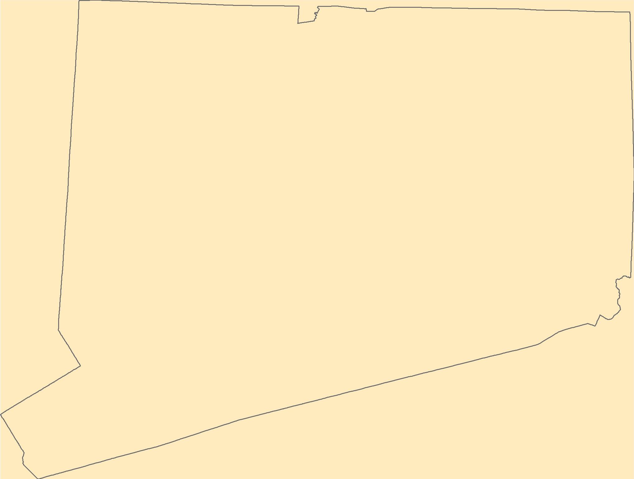
The Geographic Names Information System (GNIS) is the Federal standard for geographic nomenclature. The U.S. Geological Survey developed the GNIS for the U.S. Board on Geographic Names, a Federal inter-agency body chartered by public law to maintain uniform feature name usage throughout the Government and to promulgate standard names to the public. The GNIS is the official repository of domestic geographic names data; the official vehicle for geographic names use by all departments of the Federal Government; and the source for applying geographic names to Federal electronic and printed products of all types.
Tags: Antarctica,
Antarctica,
BGN,
Board on Geographic Names,
Borough, All tags...
CT,
Capitol,
Census Area,
Commonwealth,
Connecticut,
County,
District,
Downloadable Data,
Feature class,
Feature coordinates,
Feature county,
Feature description,
Feature designation,
Feature history,
Feature indentification,
Feature name,
Feature state,
GNIS,
Geographic Names,
Geographic Names Domestic Names,
Geographic Names Information System,
Geographic feature,
Geographic name,
Geographical feature,
Geographical name,
Greater Bridgeport,
Lower Connecticut River Valley,
Municipio,
National Geographic Names Information System (GNIS),
National Geographic Names Information System (GNIS),
Naugatuck Valley,
Northeastern Connecticut,
Northwest Hills,
Official feature name,
Outlying Area,
Parish,
Place name,
Populated Place,
South Central Connecticut,
Southeastern Connecticut,
State,
TXT (pipes),
Territories,
Territory,
Topographic Map,
U.S. Board on Geographic Names,
U.S. Geological Survey,
US,
USA,
USBGN,
USGS,
UTF-8 Pipe Delimited Text File nan,
United States,
United States,
United States,
Variant name,
Western Connecticut,
antarctic,
database,
economy,
environment,
feature,
gazetteer,
geographic,
geographic names,
geographical,
geography,
geospatial,
imageryBaseMapsEarthCover,
inlandWaters,
location,
map,
name,
place,
placename,
society,
structure,
topographic map,
toponymy, Fewer tags

The Geographic Names Information System (GNIS) is the Federal standard for geographic nomenclature. The U.S. Geological Survey developed the GNIS for the U.S. Board on Geographic Names, a Federal inter-agency body chartered by public law to maintain uniform feature name usage throughout the Government and to promulgate standard names to the public. The GNIS is the official repository of domestic geographic names data; the official vehicle for geographic names use by all departments of the Federal Government; and the source for applying geographic names to Federal electronic and printed products of all types.
Tags: Adams,
Antarctica,
Antarctica,
BGN,
Barnes, All tags...
Benson,
Billings,
Board on Geographic Names,
Borough,
Bottineau,
Bowman,
Burke,
Burleigh,
Cass,
Cavalier,
Census Area,
Commonwealth,
County,
Dickey,
District,
Divide,
Downloadable Data,
Dunn,
Eddy,
Emmons,
Esri File GeoDatabase 10,
Feature class,
Feature coordinates,
Feature county,
Feature description,
Feature designation,
Feature history,
Feature indentification,
Feature name,
Feature state,
FileGDB,
Foster,
GNIS,
Geographic Names,
Geographic Names Full Model,
Geographic Names Information System,
Geographic feature,
Geographic name,
Geographical feature,
Geographical name,
Golden Valley,
Grand Forks,
Grant,
Griggs,
Hettinger,
Kidder,
LaMoure,
Logan,
McHenry,
McIntosh,
McKenzie,
McLean,
Mercer,
Morton,
Mountrail,
Municipio,
ND,
National Geographic Names Information System (GNIS),
National Geographic Names Information System (GNIS),
Nelson,
North Dakota,
Official feature name,
Oliver,
Outlying Area,
Parish,
Pembina,
Pierce,
Place name,
Populated Place,
Ramsey,
Ransom,
Renville,
Richland,
Rolette,
Sargent,
Sheridan,
Sioux,
Slope,
Stark,
State,
Steele,
Stutsman,
Territories,
Territory,
Topographic Map,
Towner,
Traill,
U.S. Board on Geographic Names,
U.S. Geological Survey,
US,
USA,
USBGN,
USGS,
United States,
United States,
United States,
Variant name,
Walsh,
Ward,
Wells,
Williams,
antarctic,
database,
economy,
environment,
feature,
gazetteer,
geographic,
geographic names,
geographical,
geography,
geospatial,
imageryBaseMapsEarthCover,
inlandWaters,
location,
map,
name,
place,
placename,
society,
structure,
topographic map,
toponymy, Fewer tags
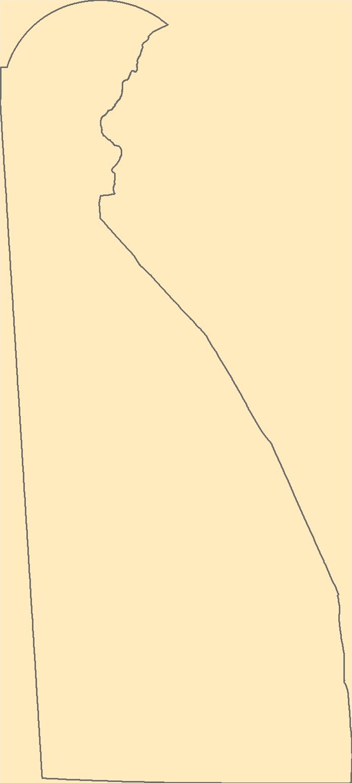
The Geographic Names Information System (GNIS) is the Federal standard for geographic nomenclature. The U.S. Geological Survey developed the GNIS for the U.S. Board on Geographic Names, a Federal inter-agency body chartered by public law to maintain uniform feature name usage throughout the Government and to promulgate standard names to the public. The GNIS is the official repository of domestic geographic names data; the official vehicle for geographic names use by all departments of the Federal Government; and the source for applying geographic names to Federal electronic and printed products of all types.
Tags: Antarctica,
Antarctica,
BGN,
Board on Geographic Names,
Borough, All tags...
Census Area,
Commonwealth,
County,
DE,
Delaware,
District,
Downloadable Data,
Feature class,
Feature coordinates,
Feature county,
Feature description,
Feature designation,
Feature history,
Feature indentification,
Feature name,
Feature state,
GNIS,
GeoPackage,
Geographic Names,
Geographic Names Full Model,
Geographic Names Information System,
Geographic feature,
Geographic name,
Geographical feature,
Geographical name,
Kent,
Municipio,
National Geographic Names Information System (GNIS),
National Geographic Names Information System (GNIS),
New Castle,
Official feature name,
Open Geospatial Consortium GeoPackage 1.2,
Outlying Area,
Parish,
Place name,
Populated Place,
State,
Sussex,
Territories,
Territory,
Topographic Map,
U.S. Board on Geographic Names,
U.S. Geological Survey,
US,
USA,
USBGN,
USGS,
United States,
United States,
United States,
Variant name,
antarctic,
database,
economy,
environment,
feature,
gazetteer,
geographic,
geographic names,
geographical,
geography,
geospatial,
imageryBaseMapsEarthCover,
inlandWaters,
location,
map,
name,
place,
placename,
society,
structure,
topographic map,
toponymy, Fewer tags

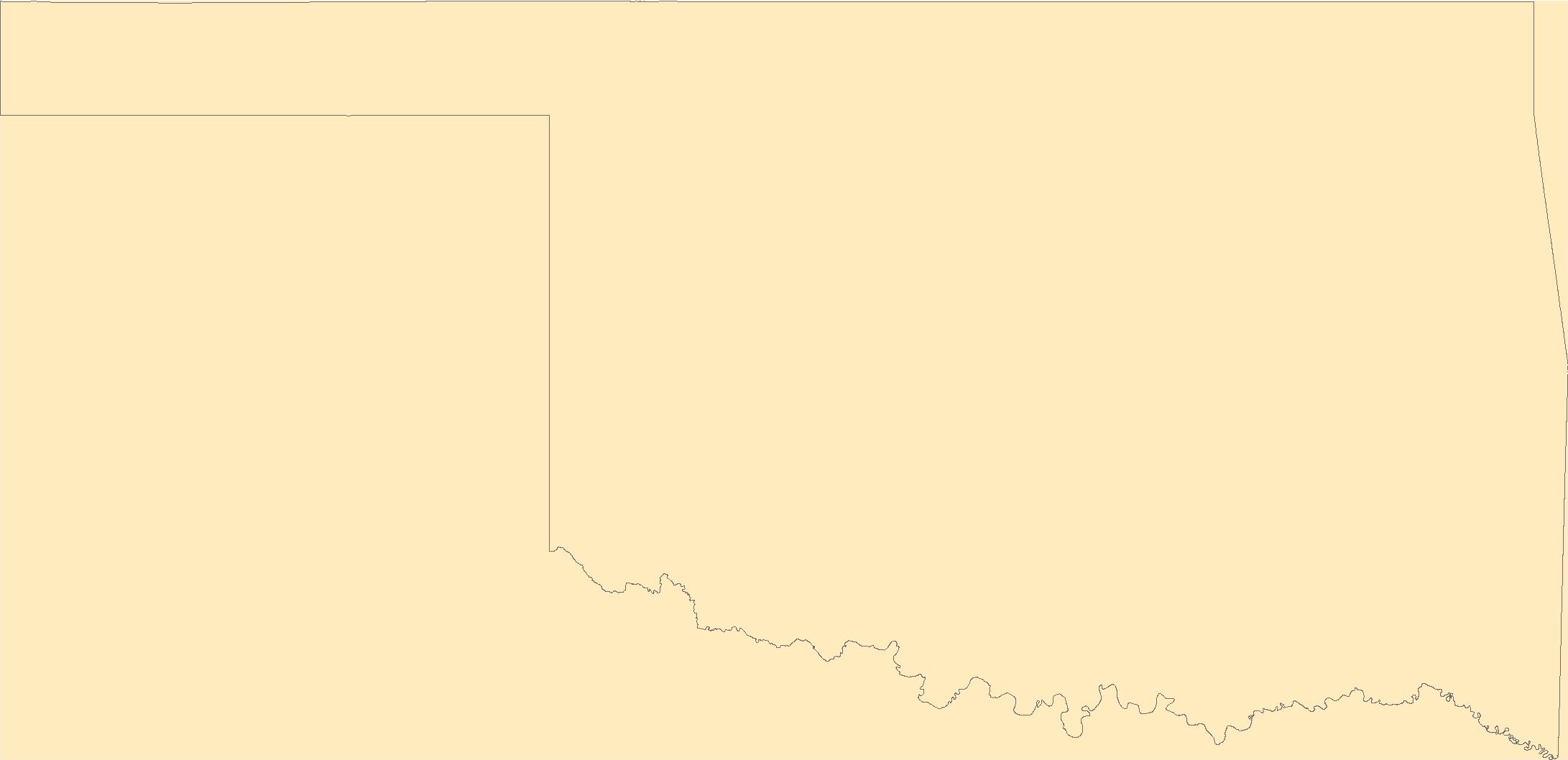
The Geographic Names Information System (GNIS) is the Federal standard for geographic nomenclature. The U.S. Geological Survey developed the GNIS for the U.S. Board on Geographic Names, a Federal inter-agency body chartered by public law to maintain uniform feature name usage throughout the Government and to promulgate standard names to the public. The GNIS is the official repository of domestic geographic names data; the official vehicle for geographic names use by all departments of the Federal Government; and the source for applying geographic names to Federal electronic and printed products of all types.
Tags: Adair,
Alfalfa,
Antarctica,
Antarctica,
Atoka, All tags...
BGN,
Beaver,
Beckham,
Blaine,
Board on Geographic Names,
Borough,
Bryan,
Caddo,
Canadian,
Carter,
Census Area,
Cherokee,
Choctaw,
Cimarron,
Cleveland,
Coal,
Comanche,
Commonwealth,
Cotton,
County,
Craig,
Creek,
Custer,
Delaware,
Dewey,
District,
Downloadable Data,
Ellis,
Feature class,
Feature coordinates,
Feature county,
Feature description,
Feature designation,
Feature history,
Feature indentification,
Feature name,
Feature state,
GNIS,
Garfield,
Garvin,
GeoPackage,
Geographic Names,
Geographic Names Full Model,
Geographic Names Information System,
Geographic feature,
Geographic name,
Geographical feature,
Geographical name,
Grady,
Grant,
Greer,
Harmon,
Harper,
Haskell,
Hughes,
Jackson,
Jefferson,
Johnston,
Kay,
Kingfisher,
Kiowa,
Latimer,
Le Flore,
Lincoln,
Logan,
Love,
Major,
Marshall,
Mayes,
McClain,
McCurtain,
McIntosh,
Municipio,
Murray,
Muskogee,
National Geographic Names Information System (GNIS),
National Geographic Names Information System (GNIS),
Noble,
Nowata,
OK,
Official feature name,
Okfuskee,
Oklahoma,
Oklahoma,
Okmulgee,
Open Geospatial Consortium GeoPackage 1.2,
Osage,
Ottawa,
Outlying Area,
Parish,
Pawnee,
Payne,
Pittsburg,
Place name,
Pontotoc,
Populated Place,
Pottawatomie,
Pushmataha,
Roger Mills,
Rogers,
Seminole,
Sequoyah,
State,
Stephens,
Territories,
Territory,
Texas,
Tillman,
Topographic Map,
Tulsa,
U.S. Board on Geographic Names,
U.S. Geological Survey,
US,
USA,
USBGN,
USGS,
United States,
United States,
United States,
Variant name,
Wagoner,
Washington,
Washita,
Woods,
Woodward,
antarctic,
database,
economy,
environment,
feature,
gazetteer,
geographic,
geographic names,
geographical,
geography,
geospatial,
imageryBaseMapsEarthCover,
inlandWaters,
location,
map,
name,
place,
placename,
society,
structure,
topographic map,
toponymy, Fewer tags

The Geographic Names Information System (GNIS) is the Federal standard for geographic nomenclature. The U.S. Geological Survey developed the GNIS for the U.S. Board on Geographic Names, a Federal inter-agency body chartered by public law to maintain uniform feature name usage throughout the Government and to promulgate standard names to the public. The GNIS is the official repository of domestic geographic names data; the official vehicle for geographic names use by all departments of the Federal Government; and the source for applying geographic names to Federal electronic and printed products of all types.
Tags: Antarctica,
Antarctica,
BGN,
Board on Geographic Names,
Borough, All tags...
Census Area,
Commonwealth,
County,
District,
Downloadable Data,
Feature class,
Feature coordinates,
Feature county,
Feature description,
Feature designation,
Feature history,
Feature indentification,
Feature name,
Feature state,
GNIS,
GU,
GeoPackage,
Geographic Names,
Geographic Names Full Model,
Geographic Names Information System,
Geographic feature,
Geographic name,
Geographical feature,
Geographical name,
Guam,
Guam,
Municipio,
National Geographic Names Information System (GNIS),
National Geographic Names Information System (GNIS),
Official feature name,
Open Geospatial Consortium GeoPackage 1.2,
Outlying Area,
Parish,
Place name,
Populated Place,
State,
Territories,
Territory,
Topographic Map,
U.S. Board on Geographic Names,
U.S. Geological Survey,
US,
USA,
USBGN,
USGS,
United States,
United States,
United States,
Variant name,
antarctic,
database,
economy,
environment,
feature,
gazetteer,
geographic,
geographic names,
geographical,
geography,
geospatial,
imageryBaseMapsEarthCover,
inlandWaters,
location,
map,
name,
place,
placename,
society,
structure,
topographic map,
toponymy, Fewer tags
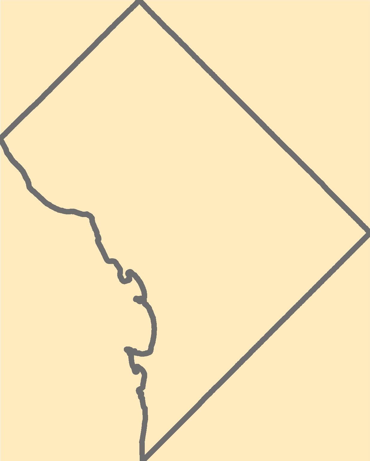
The Geographic Names Information System (GNIS) is the Federal standard for geographic nomenclature. The U.S. Geological Survey developed the GNIS for the U.S. Board on Geographic Names, a Federal inter-agency body chartered by public law to maintain uniform feature name usage throughout the Government and to promulgate standard names to the public. The GNIS is the official repository of domestic geographic names data; the official vehicle for geographic names use by all departments of the Federal Government; and the source for applying geographic names to Federal electronic and printed products of all types.
Tags: Antarctica,
Antarctica,
BGN,
Board on Geographic Names,
Borough, All tags...
Census Area,
Commonwealth,
County,
DC,
District,
District of Columbia,
District of Columbia,
Downloadable Data,
Feature class,
Feature coordinates,
Feature county,
Feature description,
Feature designation,
Feature history,
Feature indentification,
Feature name,
Feature state,
GNIS,
GeoPackage,
Geographic Names,
Geographic Names Full Model,
Geographic Names Information System,
Geographic feature,
Geographic name,
Geographical feature,
Geographical name,
Municipio,
National Geographic Names Information System (GNIS),
National Geographic Names Information System (GNIS),
Official feature name,
Open Geospatial Consortium GeoPackage 1.2,
Outlying Area,
Parish,
Place name,
Populated Place,
State,
Territories,
Territory,
Topographic Map,
U.S. Board on Geographic Names,
U.S. Geological Survey,
US,
USA,
USBGN,
USGS,
United States,
United States,
United States,
Variant name,
antarctic,
database,
economy,
environment,
feature,
gazetteer,
geographic,
geographic names,
geographical,
geography,
geospatial,
imageryBaseMapsEarthCover,
inlandWaters,
location,
map,
name,
place,
placename,
society,
structure,
topographic map,
toponymy, Fewer tags
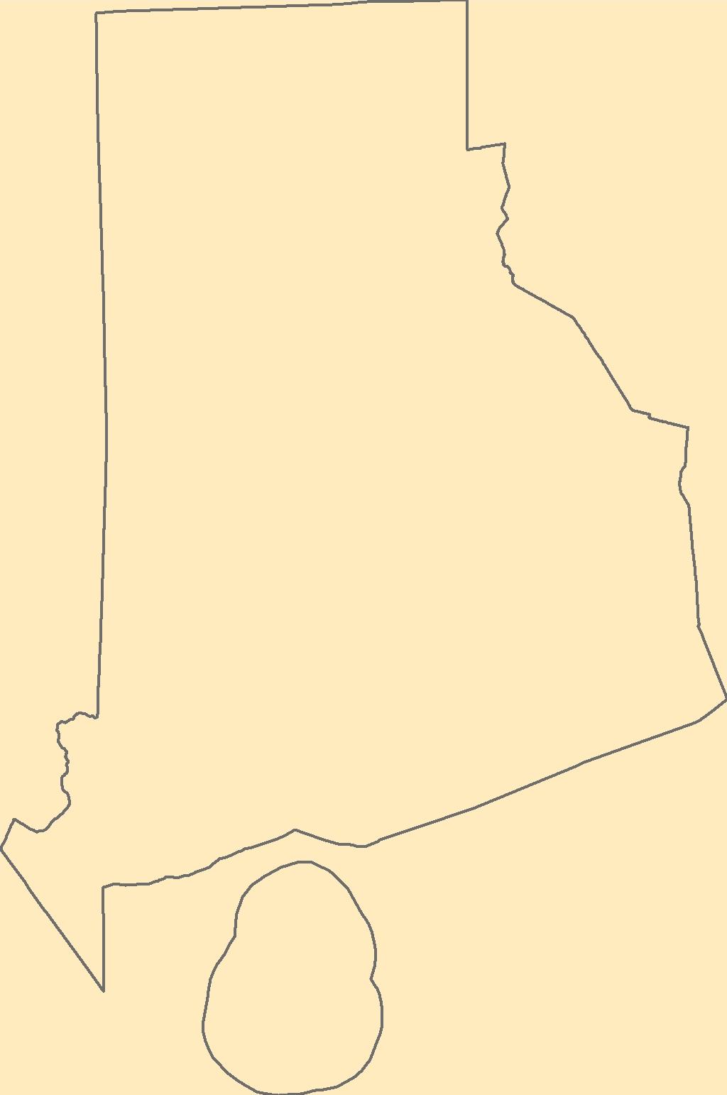
The Geographic Names Information System (GNIS) is the Federal standard for geographic nomenclature. The U.S. Geological Survey developed the GNIS for the U.S. Board on Geographic Names, a Federal inter-agency body chartered by public law to maintain uniform feature name usage throughout the Government and to promulgate standard names to the public. The GNIS is the official repository of domestic geographic names data; the official vehicle for geographic names use by all departments of the Federal Government; and the source for applying geographic names to Federal electronic and printed products of all types.
Tags: Antarctica,
Antarctica,
BGN,
Board on Geographic Names,
Borough, All tags...
Bristol,
Census Area,
Commonwealth,
County,
District,
Downloadable Data,
Feature class,
Feature coordinates,
Feature county,
Feature description,
Feature designation,
Feature history,
Feature indentification,
Feature name,
Feature state,
GNIS,
GeoPackage,
Geographic Names,
Geographic Names Full Model,
Geographic Names Information System,
Geographic feature,
Geographic name,
Geographical feature,
Geographical name,
Kent,
Municipio,
National Geographic Names Information System (GNIS),
National Geographic Names Information System (GNIS),
Newport,
Official feature name,
Open Geospatial Consortium GeoPackage 1.2,
Outlying Area,
Parish,
Place name,
Populated Place,
Providence,
RI,
Rhode Island,
State,
Territories,
Territory,
Topographic Map,
U.S. Board on Geographic Names,
U.S. Geological Survey,
US,
USA,
USBGN,
USGS,
United States,
United States,
United States,
Variant name,
Washington,
antarctic,
database,
economy,
environment,
feature,
gazetteer,
geographic,
geographic names,
geographical,
geography,
geospatial,
imageryBaseMapsEarthCover,
inlandWaters,
location,
map,
name,
place,
placename,
society,
structure,
topographic map,
toponymy, Fewer tags

The Geographic Names Information System (GNIS) is the Federal standard for geographic nomenclature. The U.S. Geological Survey developed the GNIS for the U.S. Board on Geographic Names, a Federal inter-agency body chartered by public law to maintain uniform feature name usage throughout the Government and to promulgate standard names to the public. The GNIS is the official repository of domestic geographic names data; the official vehicle for geographic names use by all departments of the Federal Government; and the source for applying geographic names to Federal electronic and printed products of all types.
Tags: Adair,
Andrew,
Antarctica,
Antarctica,
Atchison, All tags...
Audrain,
BGN,
Barry,
Barton,
Bates,
Benton,
Board on Geographic Names,
Bollinger,
Boone,
Borough,
Buchanan,
Butler,
Caldwell,
Callaway,
Camden,
Cape Girardeau,
Carroll,
Carter,
Cass,
Cedar,
Census Area,
Chariton,
Christian,
Clark,
Clay,
Clinton,
Cole,
Commonwealth,
Cooper,
County,
Crawford,
Dade,
Dallas,
Daviess,
DeKalb,
Dent,
District,
Douglas,
Downloadable Data,
Dunklin,
Esri File GeoDatabase 10,
Feature class,
Feature coordinates,
Feature county,
Feature description,
Feature designation,
Feature history,
Feature indentification,
Feature name,
Feature state,
FileGDB,
Franklin,
GNIS,
Gasconade,
Gentry,
Geographic Names,
Geographic Names Full Model,
Geographic Names Information System,
Geographic feature,
Geographic name,
Geographical feature,
Geographical name,
Greene,
Grundy,
Harrison,
Henry,
Hickory,
Holt,
Howard,
Howell,
Iron,
Jackson,
Jasper,
Jefferson,
Johnson,
Knox,
Laclede,
Lafayette,
Lawrence,
Lewis,
Lincoln,
Linn,
Livingston,
MO,
Macon,
Madison,
Maries,
Marion,
McDonald,
Mercer,
Miller,
Mississippi,
Missouri,
Moniteau,
Monroe,
Montgomery,
Morgan,
Municipio,
National Geographic Names Information System (GNIS),
National Geographic Names Information System (GNIS),
New Madrid,
Newton,
Nodaway,
Official feature name,
Oregon,
Osage,
Outlying Area,
Ozark,
Parish,
Pemiscot,
Perry,
Pettis,
Phelps,
Pike,
Place name,
Platte,
Polk,
Populated Place,
Pulaski,
Putnam,
Ralls,
Randolph,
Ray,
Reynolds,
Ripley,
Saline,
Schuyler,
Scotland,
Scott,
Shannon,
Shelby,
St. Charles,
St. Clair,
St. Francois,
St. Louis,
State,
Ste. Genevieve,
Stoddard,
Stone,
Sullivan,
Taney,
Territories,
Territory,
Texas,
Topographic Map,
U.S. Board on Geographic Names,
U.S. Geological Survey,
US,
USA,
USBGN,
USGS,
United States,
United States,
United States,
Variant name,
Vernon,
Warren,
Washington,
Wayne,
Webster,
Worth,
Wright,
antarctic,
database,
economy,
environment,
feature,
gazetteer,
geographic,
geographic names,
geographical,
geography,
geospatial,
imageryBaseMapsEarthCover,
inlandWaters,
location,
map,
name,
place,
placename,
society,
structure,
topographic map,
toponymy, Fewer tags
The Geographic Names Information System (GNIS) is the Federal standard for geographic nomenclature. The U.S. Geological Survey developed the GNIS for the U.S. Board on Geographic Names, a Federal inter-agency body chartered by public law to maintain uniform feature name usage throughout the Government and to promulgate standard names to the public. The GNIS is the official repository of domestic geographic names data; the official vehicle for geographic names use by all departments of the Federal Government; and the source for applying geographic names to Federal electronic and printed products of all types.
Tags: Adair,
Alfalfa,
Antarctica,
Antarctica,
Atoka, All tags...
BGN,
Beaver,
Beckham,
Blaine,
Board on Geographic Names,
Borough,
Bryan,
Caddo,
Canadian,
Carter,
Census Area,
Cherokee,
Choctaw,
Cimarron,
Cleveland,
Coal,
Comanche,
Commonwealth,
Cotton,
County,
Craig,
Creek,
Custer,
Delaware,
Dewey,
District,
Downloadable Data,
Ellis,
Esri File GeoDatabase 10,
Feature class,
Feature coordinates,
Feature county,
Feature description,
Feature designation,
Feature history,
Feature indentification,
Feature name,
Feature state,
FileGDB,
GNIS,
Garfield,
Garvin,
Geographic Names,
Geographic Names Full Model,
Geographic Names Information System,
Geographic feature,
Geographic name,
Geographical feature,
Geographical name,
Grady,
Grant,
Greer,
Harmon,
Harper,
Haskell,
Hughes,
Jackson,
Jefferson,
Johnston,
Kay,
Kingfisher,
Kiowa,
Latimer,
Le Flore,
Lincoln,
Logan,
Love,
Major,
Marshall,
Mayes,
McClain,
McCurtain,
McIntosh,
Municipio,
Murray,
Muskogee,
National Geographic Names Information System (GNIS),
National Geographic Names Information System (GNIS),
Noble,
Nowata,
OK,
Official feature name,
Okfuskee,
Oklahoma,
Oklahoma,
Okmulgee,
Osage,
Ottawa,
Outlying Area,
Parish,
Pawnee,
Payne,
Pittsburg,
Place name,
Pontotoc,
Populated Place,
Pottawatomie,
Pushmataha,
Roger Mills,
Rogers,
Seminole,
Sequoyah,
State,
Stephens,
Territories,
Territory,
Texas,
Tillman,
Topographic Map,
Tulsa,
U.S. Board on Geographic Names,
U.S. Geological Survey,
US,
USA,
USBGN,
USGS,
United States,
United States,
United States,
Variant name,
Wagoner,
Washington,
Washita,
Woods,
Woodward,
antarctic,
database,
economy,
environment,
feature,
gazetteer,
geographic,
geographic names,
geographical,
geography,
geospatial,
imageryBaseMapsEarthCover,
inlandWaters,
location,
map,
name,
place,
placename,
society,
structure,
topographic map,
toponymy, Fewer tags

The Geographic Names Information System (GNIS) is the Federal standard for geographic nomenclature. The U.S. Geological Survey developed the GNIS for the U.S. Board on Geographic Names, a Federal inter-agency body chartered by public law to maintain uniform feature name usage throughout the Government and to promulgate standard names to the public. The GNIS is the official repository of domestic geographic names data; the official vehicle for geographic names use by all departments of the Federal Government; and the source for applying geographic names to Federal electronic and printed products of all types.
Tags: AS,
American Samoa,
Antarctica,
Antarctica,
BGN, All tags...
Board on Geographic Names,
Borough,
Census Area,
Commonwealth,
County,
District,
Downloadable Data,
Eastern,
Esri File GeoDatabase 10,
Feature class,
Feature coordinates,
Feature county,
Feature description,
Feature designation,
Feature history,
Feature indentification,
Feature name,
Feature state,
FileGDB,
GNIS,
Geographic Names,
Geographic Names Full Model,
Geographic Names Information System,
Geographic feature,
Geographic name,
Geographical feature,
Geographical name,
Manu'a,
Municipio,
National Geographic Names Information System (GNIS),
National Geographic Names Information System (GNIS),
Official feature name,
Outlying Area,
Parish,
Place name,
Populated Place,
Rose Island,
State,
Swains Island,
Territories,
Territory,
Topographic Map,
U.S. Board on Geographic Names,
U.S. Geological Survey,
US,
USA,
USBGN,
USGS,
United States,
United States,
United States,
Variant name,
Western,
antarctic,
database,
economy,
environment,
feature,
gazetteer,
geographic,
geographic names,
geographical,
geography,
geospatial,
imageryBaseMapsEarthCover,
inlandWaters,
location,
map,
name,
place,
placename,
society,
structure,
topographic map,
toponymy, Fewer tags

The Geographic Names Information System (GNIS) is the Federal standard for geographic nomenclature. The U.S. Geological Survey developed the GNIS for the U.S. Board on Geographic Names, a Federal inter-agency body chartered by public law to maintain uniform feature name usage throughout the Government and to promulgate standard names to the public. The GNIS is the official repository of domestic geographic names data; the official vehicle for geographic names use by all departments of the Federal Government; and the source for applying geographic names to Federal electronic and printed products of all types.
Tags: Antarctica,
Antarctica,
BGN,
Bernalillo,
Board on Geographic Names, All tags...
Borough,
Catron,
Census Area,
Chaves,
Cibola,
Colfax,
Commonwealth,
County,
Curry,
De Baca,
District,
Downloadable Data,
Doña Ana,
Eddy,
Esri File GeoDatabase 10,
Feature class,
Feature coordinates,
Feature county,
Feature description,
Feature designation,
Feature history,
Feature indentification,
Feature name,
Feature state,
FileGDB,
GNIS,
Geographic Names,
Geographic Names Full Model,
Geographic Names Information System,
Geographic feature,
Geographic name,
Geographical feature,
Geographical name,
Grant,
Guadalupe,
Harding,
Hidalgo,
Lea,
Lincoln,
Los Alamos,
Luna,
McKinley,
Mora,
Municipio,
NM,
National Geographic Names Information System (GNIS),
National Geographic Names Information System (GNIS),
New Mexico,
Official feature name,
Otero,
Outlying Area,
Parish,
Place name,
Populated Place,
Quay,
Rio Arriba,
Roosevelt,
San Juan,
San Miguel,
Sandoval,
Santa Fe,
Sierra,
Socorro,
State,
Taos,
Territories,
Territory,
Topographic Map,
Torrance,
U.S. Board on Geographic Names,
U.S. Geological Survey,
US,
USA,
USBGN,
USGS,
Union,
United States,
United States,
United States,
Valencia,
Variant name,
antarctic,
database,
economy,
environment,
feature,
gazetteer,
geographic,
geographic names,
geographical,
geography,
geospatial,
imageryBaseMapsEarthCover,
inlandWaters,
location,
map,
name,
place,
placename,
society,
structure,
topographic map,
toponymy, Fewer tags
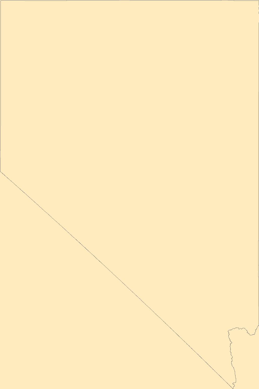
The Geographic Names Information System (GNIS) is the Federal standard for geographic nomenclature. The U.S. Geological Survey developed the GNIS for the U.S. Board on Geographic Names, a Federal inter-agency body chartered by public law to maintain uniform feature name usage throughout the Government and to promulgate standard names to the public. The GNIS is the official repository of domestic geographic names data; the official vehicle for geographic names use by all departments of the Federal Government; and the source for applying geographic names to Federal electronic and printed products of all types.
Tags: Antarctica,
Antarctica,
BGN,
Board on Geographic Names,
Borough, All tags...
Carson City,
Census Area,
Churchill,
Clark,
Commonwealth,
County,
District,
Douglas,
Downloadable Data,
Elko,
Esmeralda,
Esri File GeoDatabase 10,
Eureka,
Feature class,
Feature coordinates,
Feature county,
Feature description,
Feature designation,
Feature history,
Feature indentification,
Feature name,
Feature state,
FileGDB,
GNIS,
Geographic Names,
Geographic Names Full Model,
Geographic Names Information System,
Geographic feature,
Geographic name,
Geographical feature,
Geographical name,
Humboldt,
Lander,
Lincoln,
Lyon,
Mineral,
Municipio,
NV,
National Geographic Names Information System (GNIS),
National Geographic Names Information System (GNIS),
Nevada,
Nye,
Official feature name,
Outlying Area,
Parish,
Pershing,
Place name,
Populated Place,
State,
Storey,
Territories,
Territory,
Topographic Map,
U.S. Board on Geographic Names,
U.S. Geological Survey,
US,
USA,
USBGN,
USGS,
United States,
United States,
United States,
Variant name,
Washoe,
White Pine,
antarctic,
database,
economy,
environment,
feature,
gazetteer,
geographic,
geographic names,
geographical,
geography,
geospatial,
imageryBaseMapsEarthCover,
inlandWaters,
location,
map,
name,
place,
placename,
society,
structure,
topographic map,
toponymy, Fewer tags

A high-resolution raster dataset of simulated maximum tsunami elevations in Half Moon Bay, California, based on the Science Application for Risk Reduction (SAFRR) tsunami scenario
Categories: Data;
Types: Downloadable,
GeoTIFF,
Map Service,
Raster;
Tags: CMHRP,
Coastal and Marine Hazards and Resources Program,
Half Moon Bay,
PCMSC,
Pacific Coastal and Marine Science Center, All tags...
Predictions,
State of California,
U.S. Geological Survey,
USGS,
geoscientificInformation,
geospatial analysis,
geospatial datasets,
oceans,
society,
tsunamis, Fewer tags

USGS developed The National Map (TNM) Gazetteer as the Federal and national standard (ANSI INCITS 446-2008) for geographic nomenclature based on the Geographic Names Information System (GNIS). The National Map Gazetteer contains information about physical and cultural geographic features, geographic areas, and locational entities that are generally recognizable and locatable by name (have achieved some landmark status) and are of interest to any level of government or to the public for any purpose that would lead to the representation of the feature in printed or electronic maps and/or geographic information systems. The dataset includes features of all types in the United States, its associated areas, and Antarctica,...
Types: Citation;
Tags: BGN,
Cultural Resources Theme,
GNIS,
Geographic Names,
NGDA, All tags...
NGP-TNM,
National Geospatial Data Asset,
Overlay Map Service,
REST,
US,
United States,
WFS,
WMS,
a-16,
administrative,
board on geographic names,
cemetery,
community,
cultural,
cultural resource,
feature id,
federal,
gazetteer,
geographic,
governmental unit,
historical,
hydrography,
inlandWaters,
landform,
location,
name,
place,
populated place,
society,
statistical,
structure,
structure,
toponomy,
toponym,
toponymic,
transportation,
variant name,
water, Fewer tags
All Interstates in the western United States from the 2000 US Census TIGER/line files.
Categories: Data;
Types: Downloadable,
Map Service,
OGC WFS Layer,
OGC WMS Layer,
Shapefile;
Tags: Arizona,
California,
Census 2000,
Colorado,
Idaho, All tags...
Interstate,
Montana,
Nevada,
New Mexico,
Oregon,
TIGER/line,
Utah,
Washington,
Western United States,
Wyoming,
highways,
roadways,
society,
transportation, Fewer tags

Situated in the Mississippi Alluvial Plain of the Gulf Coast Prairie Landscape Conservation Cooperative (GCP LCC), the Chitimacha Tribe is one of four federally recognized tribes in Louisiana. The Tribal seat, trust lands/ reservation, and adjacent Tribal owned lands are located near Charenton, Louisiana, totaling nearly 1,000 acres. The Chitimacha, with a population of approximately 1,400 people, are currently impacted by storm surge, which is expected to increase with climate change. The additional stress from storms will likewise increase the vulnerability to catastrophic impact in the event of a breach in the Atchafalaya Basin Spillway levee. A collaborative effort between the U.S. Geological Survey (USGS) and...
Categories: Data;
Types: Map Service,
OGC WFS Layer,
OGC WMS Layer,
OGC WMS Service;
Tags: ATMOSPHERIC/OCEAN INDICATORS,
ATMOSPHERIC/OCEAN INDICATORS,
ATMOSPHERIC/OCEAN INDICATORS,
ATMOSPHERIC/OCEAN INDICATORS,
ATMOSPHERIC/OCEAN INDICATORS, All tags...
ATMOSPHERIC/OCEAN INDICATORS,
CLIMATE INDICATORS,
CLIMATE INDICATORS,
CLIMATE INDICATORS,
CLIMATE INDICATORS,
CLIMATE INDICATORS,
CLIMATE INDICATORS,
EARTH SCIENCE,
EARTH SCIENCE,
EARTH SCIENCE,
EARTH SCIENCE,
EARTH SCIENCE,
EARTH SCIENCE,
LCC Network Science Catalog,
Report,
SEA LEVEL RISE,
SEA LEVEL RISE,
SEA LEVEL RISE,
SEA LEVEL RISE,
SEA LEVEL RISE,
SEA LEVEL RISE,
Tribes,
completed,
environment,
society, Fewer tags
|
|

