Filters: Tags: Soda Springs (X)
25 results (88ms)|
Filters
Date Range
Extensions Types
Contacts
Categories Tag Types
|
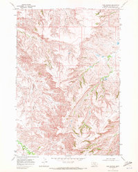
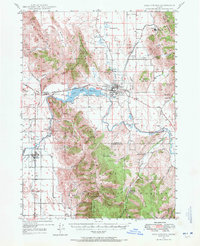
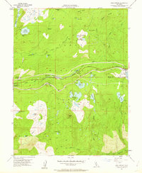
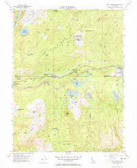
USGS Historical Quadrangle in GeoPDF.
USGS Historical Quadrangle in GeoPDF.
The Blue Canyon mule deer herd winters in the western foothills of the Sierra Nevada south of Interstate 80. The winter range includes dense conifer and oak woodland that is shared with a resident portion of the herd on a mix of public and private lands. In the spring, the Blue Canyon herd migrates from their winter range eastward along two main paths both north and south of the Forest Hill Divide to higher elevation terrain near Soda Springs and the crest of the Sierra Nevada in the Granite Chief Wilderness. The summer range includes primarily mixed conifer opening up to high alpine granite near the crest of the Sierra Nevada. The population size is not well known due to limited surveys, but is considered stable...
Categories: Data;
Types: Downloadable,
Map Service,
OGC WFS Layer,
OGC WMS Layer,
Shapefile;
Tags: California,
Soda Springs,
United States,
animal behavior,
biota,
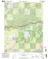
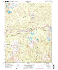
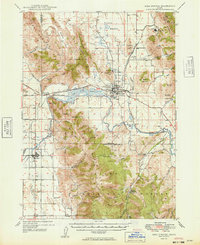
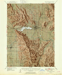
USGS Historical Quadrangle in GeoPDF.
USGS Historical Quadrangle in GeoPDF.
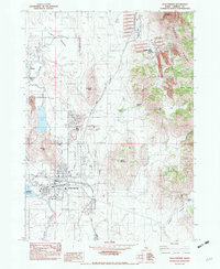
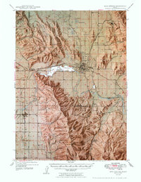
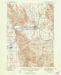
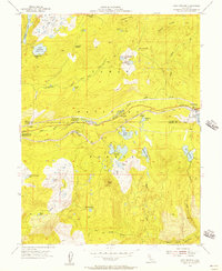
USGS Historical Quadrangle in GeoPDF.
USGS Historical Quadrangle in GeoPDF.
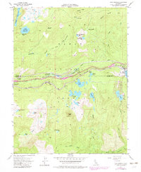
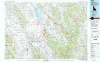
USGS Historical Quadrangle in GeoPDF.
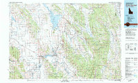
USGS Historical Quadrangle in GeoPDF.
The Blue Canyon mule deer herd winters in the western foothills of the Sierra Nevada south of Interstate 80. The winter range includes dense conifer and oak woodland that is shared with a resident portion of the herd on a mix of public and private lands. In the spring, the Blue Canyon herd migrates from their winter range eastward along two main paths both north and south of the Forest Hill Divide to higher elevation terrain near Soda Springs and the crest of the Sierra Nevada in the Granite Chief Wilderness. The summer range includes primarily mixed conifer opening up to high alpine granite near the crest of the Sierra Nevada. The population size is not well known due to limited surveys, but is considered stable...
Categories: Data;
Types: Downloadable,
Map Service,
OGC WFS Layer,
OGC WMS Layer,
Shapefile;
Tags: California,
Soda Springs,
United States,
animal behavior,
biota,
USGS Historical Quadrangle in GeoPDF.
The Blue Canyon mule deer herd winters in the western foothills of the Sierra Nevada south of Interstate 80. The winter range includes dense conifer and oak woodland that is shared with a resident portion of the herd on a mix of public and private lands. In the spring, the Blue Canyon herd migrates from their winter range eastward along two main paths both north and south of the Forest Hill Divide to higher elevation terrain near Soda Springs and the crest of the Sierra Nevada in the Granite Chief Wilderness. The summer range includes primarily mixed conifer opening up to high alpine granite near the crest of the Sierra Nevada. The population size is not well known due to limited surveys, but is considered stable...
Categories: Data;
Types: Downloadable,
Map Service,
OGC WFS Layer,
OGC WMS Layer,
Shapefile;
Tags: California,
Soda Springs,
United States,
animal behavior,
biota,
USGS Historical Quadrangle in GeoPDF.
USGS Historical Quadrangle in GeoPDF.
USGS Historical Quadrangle in GeoPDF.
USGS Historical Quadrangle in GeoPDF.
USGS Historical Quadrangle in GeoPDF.
Northward up Kern Canyon, California, from a talus slope one mile north of Soda Springs. See photo '1995'. Tulare County, California. 1903.
Categories: Image;
Types: Map Service,
OGC WFS Layer,
OGC WMS Layer,
OGC WMS Service;
Tags: Gilbert, G.K. Collection,
Photographers,
Soda Springs,
Tulare County, California,
photo print
USGS Historical Quadrangle in GeoPDF.
|

|
