Filters: Tags: Sonoma County (X) > partyWithName: U.S. Geological Survey (X)
229 results (210ms)|
Filters
Date Range
Types (Less) Contacts (Less)
Categories (Less) Tag Types Tag Schemes
|
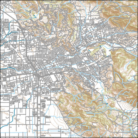
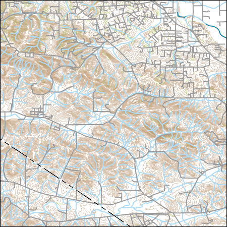
Layers of geospatial data include contours, boundaries, land cover, hydrography, roads, transportation, geographic names, structures, and other selected map features.
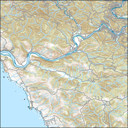
Layers of geospatial data include contours, boundaries, land cover, hydrography, roads, transportation, geographic names, structures, and other selected map features.
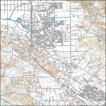
Layers of geospatial data include contours, boundaries, land cover, hydrography, roads, transportation, geographic names, structures, and other selected map features.

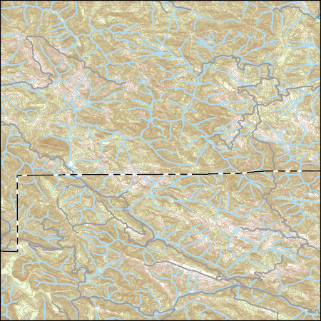
Layers of geospatial data include contours, boundaries, land cover, hydrography, roads, transportation, geographic names, structures, and other selected map features.
Layers of geospatial data include contours, boundaries, land cover, hydrography, roads, transportation, geographic names, structures, and other selected map features.
Layers of geospatial data include contours, boundaries, land cover, hydrography, roads, transportation, geographic names, structures, and other selected map features.
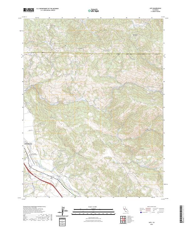
Layered geospatial PDF 7.5 Minute Quadrangle Map. Layers of geospatial data include orthoimagery, roads, grids, geographic names, elevation contours, hydrography, and other selected map features. This map is derived from GIS (geospatial information system) data. It represents a repackaging of GIS data in traditional map form, not creation of new information. The geospatial data in this map are from selected National Map data holdings and other government sources.
This digital dataset contains the monthly inflows to the surface water network in the updated Central Valley Hydrologic Model (CVHM2) for water years 1922-2019. The surface water inflows are simulated through the Streamflow Routing Package (SFR2) using 65 inflows locations, 271 stream segments that represent 4043 stream reaches, and 13 bifurcations that comprise the stream network. The bifurcations simulate the bypass canals that are used for flood control by routing water between two stream reach locations within the stream network. This dataset includes the inflow and bifurcation locations, monthly magnitude, and shapefiles of the gridded and non-gridded stream network.
This digital dataset contains the monthly diversions from the surface water network in the updated Central Valley Hydrologic Model (CVHM2) for water years 1922-2019. The volume of water transported by surface-water diversions were updated in the CVHM2 from several sources, including: • The C2VSIM developed by DWR, • The WestSIM model, • Delta Mendota Canal turnout delivery data obtained from SLDMWA, • Delta delivery data obtained from Montgomery Watson. The surface water diversions are simulated through the Streamflow Routing Package (SFR2) using 571 diversion locations providing 564 semi-routed and 7 non-routed diversions. Linkages between SFR2 and the Farm-Process (FMP4) simulate the semi-routed and non-routed...
|

|
